The best running trails around Reilhac
4.6
(135)
4,480
runners
333
runs
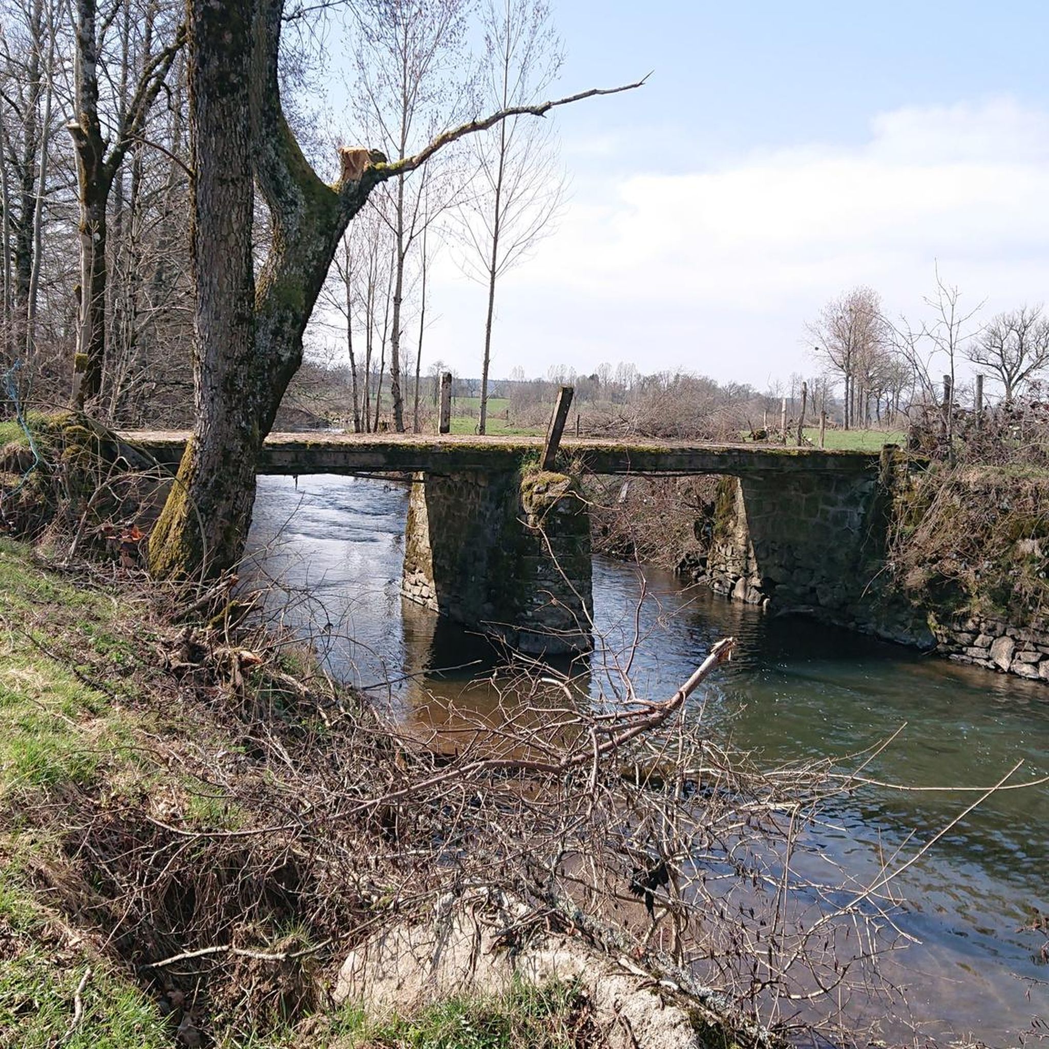
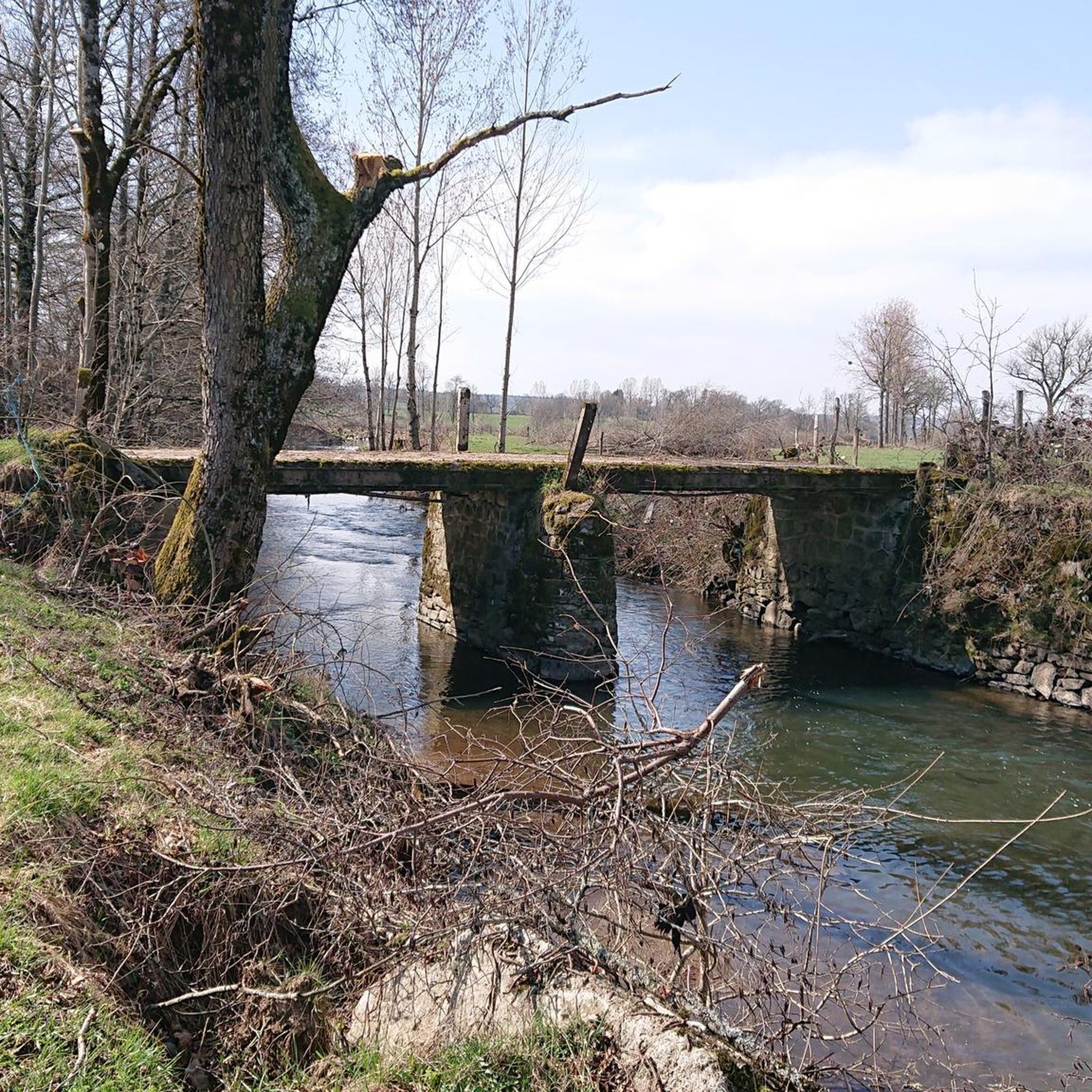
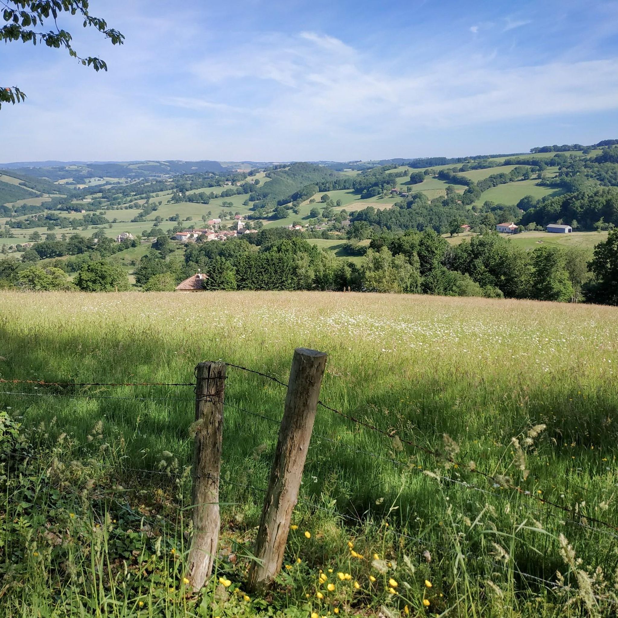
Jogging around Reilhac offers diverse natural environments for exploration. The region features varied terrain with gentle ascents and descents, ranging in altitude from 312m to 396m. Runners can expect to find numerous meadows and woods, providing serene settings for outdoor activity. Reilhac's location near the Causses du Quercy Natural Regional Park further enhances the variety of landscapes available for running.
Best jogging routes around Reilhac
- The most popular jogging route is Running loop from Naucelles, an 8.4 miles (13.5…
Last updated: June 29, 2026
3.0
(1)
100
runners
13.5km
01:34
230m
230m
Moderate run. Good fitness required. Mostly paved surfaces. Suitable for all skill levels.
20
runners
6.15km
00:43
120m
120m
Moderate run. Good fitness required. Mostly paved surfaces. Suitable for all skill levels.

Sign up for free
5.0
(1)
15
runners
9.02km
01:01
120m
120m
Moderate run. Good fitness required. Mostly paved surfaces. Suitable for all skill levels.
11
runners
6.16km
00:42
120m
120m
Moderate run. Good fitness required. Mostly paved surfaces. Suitable for all skill levels.
11
runners
21.2km
02:39
550m
550m
Hard run. Very good fitness required. Mostly paved surfaces. Suitable for all skill levels.
Get access to more routes and recommendations from other explorers.
Sign up for free
Already have an account?
Our route recommendations are based on thousands of hikes, rides, and runs completed by other people on komoot.
Start today with a free account
Your next adventure awaits.
Login or Signup

Frequently Asked Questions
How many running routes are available around Reilhac?
There are over 300 running routes around Reilhac, catering to various preferences and fitness levels. The komoot community has explored more than 320 unique trails in the area.
What kind of terrain can I expect on the jogging trails in Reilhac?
Reilhac offers a diverse landscape with varied terrain, including gentle ascents and descents. You'll find numerous routes leading through serene meadows and dense woodlands, providing a natural and engaging running experience. The altitude in the area ranges from 312m to 396m, ensuring a good mix of flat sections and slight inclines.
Are there any easy or beginner-friendly jogging routes in Reilhac?
Yes, Reilhac offers several easy jogging routes perfect for beginners or those looking for a relaxed run. There are 22 routes specifically classified as easy, providing gentle paths through the natural surroundings.
Can I find more challenging or difficult running trails near Reilhac?
Absolutely. For experienced runners seeking a challenge, Reilhac features 68 routes classified as difficult. One such challenging option is the Montagne d'Entre-Deux Rieux – Puech Roudié loop from Jussac, a 21.1 km trail with significant elevation changes, which you can explore further here.
Are there any circular jogging routes available?
Yes, many of the running routes around Reilhac are circular, allowing you to start and finish at the same point. For example, the popular Running loop from Naucelles is an 8.4-mile (13.5 km) circular trail offering varied natural scenery.
What do other runners say about the trails in Reilhac?
The running routes in Reilhac are highly rated by the komoot community, with an average score of 4.6 stars from over 100 reviews. Runners often praise the varied natural scenery, the peaceful atmosphere of the meadows and woods, and the well-maintained paths that offer options for all ability levels.
Are there any family-friendly jogging routes in the area?
While specific 'family-friendly' designations aren't always explicit, the numerous easy and moderate routes through meadows and woods are generally suitable for families. Trails with gentle elevation changes, such as the Running loop from Tourtoulou, which is 3.9 miles (6.2 km), offer pleasant experiences for all ages.
Are dogs allowed on the running trails around Reilhac?
Many natural trails in the Reilhac region, especially those through meadows and woods, are generally dog-friendly. However, it's always recommended to keep your dog on a leash and be mindful of local regulations, especially when passing through agricultural areas or near wildlife.
What natural features or landmarks can I see while running near Reilhac?
The region around Reilhac is rich in natural beauty. You can explore areas like Calvary Wood, known for its authentic charm and local wildlife. While running, you might encounter highlights such as Col de la Croix de Cheules or the scenic Lake des Graves. The area is also close to the Causses du Quercy Natural Regional Park, offering diverse terrestrial landscapes.
Is there public transport access to the running routes, or is parking available?
While direct public transport links to specific trailheads might be limited in this rural area, many routes are accessible by car. Parking is generally available in the vicinity of towns like Reilhac or near popular starting points for trails. It's advisable to check specific route details for parking information.
What is a good moderate-difficulty running route near Reilhac?
A great moderate-difficulty option is the Running loop from Aurillac Agglomération. This 5.6-mile (9.0 km) path leads through natural areas with gentle elevation changes, making it a popular choice among local runners.
Are there any routes that offer views of nearby towns or historical sites?
Some routes may offer glimpses of nearby towns or lead you close to historical points of interest. For example, the nearby town of Aurillac is a significant highlight in the region, and routes starting from its agglomeration provide a mix of natural and urban-fringe scenery. You might also pass by sites like Fabrègues Castle on some longer excursions.
Most popular attractions around Reilhac

Get inspired with the komoot mobile app


Explore more
Browse the best Running Trails & Routes in other regions.
