The best road cycling routes around Naillat
4.4
(45)
1,117
riders
333
rides
Road cycling routes around Naillat traverse a landscape characterized by rolling countryside and rural paths, often leading to historical landmarks. The region features a mix of gentle ascents and descents, suitable for various road cycling experiences. Terrain typically includes paved country roads winding through agricultural areas and small villages.
Best road cycling routes around Naillat
- The most popular road cycling route is Ruins of the Chamborand keep – Bridiers Tower loop from Naillat, a 53.1 miles (85.4 km) trail…
Last updated: July 3, 2026
18
riders
76.0km
03:39
990m
990m
Hard road ride. Very good fitness required. Mostly well-paved surfaces and easy to ride.
12
riders
82.8km
04:00
1,080m
1,070m
Hard road ride. Very good fitness required. Mostly well-paved surfaces and easy to ride.

Sign up for free
14
riders
85.4km
04:04
1,090m
1,090m
Hard road ride. Very good fitness required. Some segments of this route may be unpaved and difficult to ride.
10
riders
56.0km
02:36
650m
650m
Moderate road ride. Good fitness required. Mostly well-paved surfaces and easy to ride.
8
riders
36.9km
01:45
460m
460m
Moderate road ride. Good fitness required. Some segments of this route may be unpaved and difficult to ride.
Get access to more routes and recommendations from other explorers.
Sign up for free
Already have an account?
Our route recommendations are based on thousands of hikes, rides, and runs completed by other people on komoot.
Start today with a free account
Your next adventure awaits.
Login or Signup

Tips from the Community

The Tour de Bridiers is what remains of a medieval castle from the 12th–13th centuries. What you see now is mainly the enormous round keep—and it's not subtle. What makes it cool: That tower is over 30 meters high. That's seriously impressive when you stand next to it. It stands slightly apart from the landscape, giving it an almost cinematic feel. The castle was part of a major trade route between Limoges and Berry. So this wasn't a romantic fairytale castle, but a pure display of power. In the summer, a historical evening show is held here with lights, projections, and knights. Then the ruins literally come back to life. What almost no one knows: The name "Bridiers" probably comes from "bride" (rein). The castle was intended to keep the region in check.
0
0

Great. Creuse mountain bike ride suite.
0
0


Superb village on the banks of the Creuse, and restaurant "L'Auberge des pécheurs" which is worth the detour.
0
0

It is the Bridiers Tower which makes this site famous. Dating from the 12th and 13th centuries, the site had a defensive function. It has been the subject of conservation since 1993 and excavations. These made it possible to discover the pentagonal fortress located at the foot of the tower. There is no guided tour, but access to the site is free. Climbing the tower is organized by the municipality and requires a modest payment of two euros.
1
0

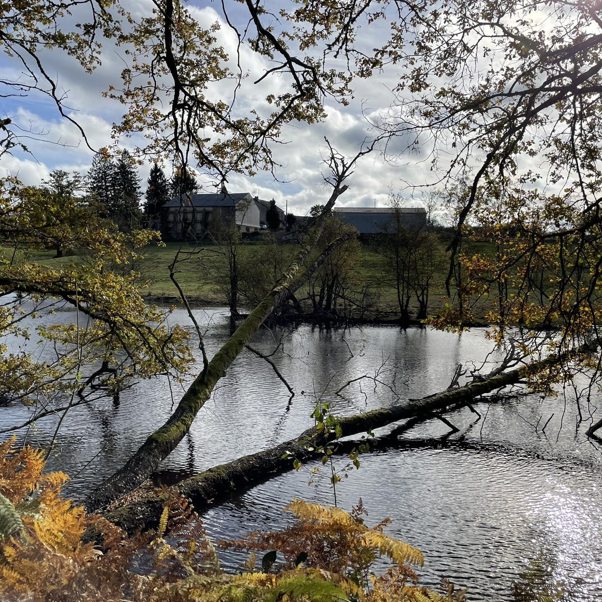
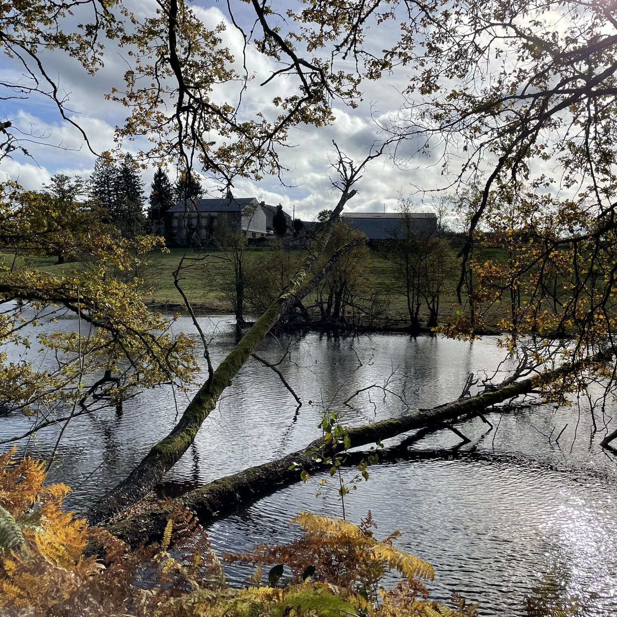
The Cheix pond is a natural body of water popular for fishing and relaxation. Also nearby are the remains of Bridiers, historic ruins that offer a glimpse into the region's medieval past.
0
0

magnificent passage from the Creuse to Anzème. superb view of the Creuse gorges
0
0

In the 12th century, a tower was built on this site. But not the one you see today, it was built in the 13th and 14th centuries. What happened to the first tower? According to a written chronicle dating from 1202, it collapsed!
2
0
Frequently Asked Questions
How many road cycling routes are available around Naillat?
There are over 340 road cycling routes around Naillat, offering a wide range of options for different skill levels and preferences. The network includes easy, moderate, and difficult routes.
What are the typical characteristics of road cycling routes in Naillat?
Road cycling routes in Naillat are characterized by rolling countryside and rural paths, often leading to historical landmarks. You'll find a mix of gentle ascents and descents on paved country roads winding through agricultural areas and small villages.
Are there road cycling routes suitable for beginners in Naillat?
Yes, Naillat offers 21 easy road cycling routes perfect for beginners. A good option to start with is the Roadbike loop from Naillat, which is 27.4 km long and features manageable terrain.
Where can I find more challenging road cycling routes around Naillat?
For those seeking a challenge, Naillat has 55 difficult road cycling routes. A notable challenging route is the Ruins of the Chamborand keep – Bridiers Tower loop from Naillat, spanning 85.4 km with significant elevation changes.
Are there any scenic viewpoints along the road cycling routes?
While specific viewpoints are not detailed, many routes traverse rolling countryside and rural paths, offering picturesque views of agricultural areas and small villages. The region's natural beauty provides a scenic backdrop throughout your ride.
What historical landmarks can I see along the road cycling routes in Naillat?
Many routes in Naillat pass by historical landmarks. For instance, the Ruins of the Chamborand keep – Bridiers Tower loop from Naillat takes you past the Ruins of the Chamborand keep and the Bridiers Tower. Other routes might lead you near Cazine Castle or the Château de Saint-Germain-Beaupré.
Are there any road cycling routes that are loops?
Yes, many road cycling routes around Naillat are designed as loops, allowing you to start and end at the same point. Examples include the popular Chapelle Sainte-Foy loop from Naillat and the Chapelle Sainte-Foy loop from Saint-Léger-Bridereix.
What do other road cyclists enjoy most about road cycling in Naillat?
The routes in Naillat are highly rated by the komoot community, with an average score of 4.5 stars from over 30 reviews. Cyclists often praise the blend of historical landmarks, the serene rolling countryside, and the well-maintained rural paths.
Can I find routes that pass by lakes or other natural attractions?
While not directly on every road cycling route, the region around Naillat features several beautiful lakes that can be explored. Notable lakes include Étang de la Cazine, Étang de la Grande Cazine, and Étang de la Toueille, which are often accessible from nearby roads.
Are there less crowded road cycling routes available in Naillat?
Given the region's rural character, many of the country roads and paths are generally less crowded, especially outside of peak tourist seasons. Exploring some of the less-trafficked routes, such as the Devil's bridge at Anzème – La Celle-Dunoise loop from La Perche, can offer a more tranquil experience.
Most popular attractions around Naillat

Get inspired with the komoot mobile app


Explore more
Browse the best Road cycling routes in other regions.
