The best road cycling routes around Molinet
4.5
(18)
557
riders
131
rides
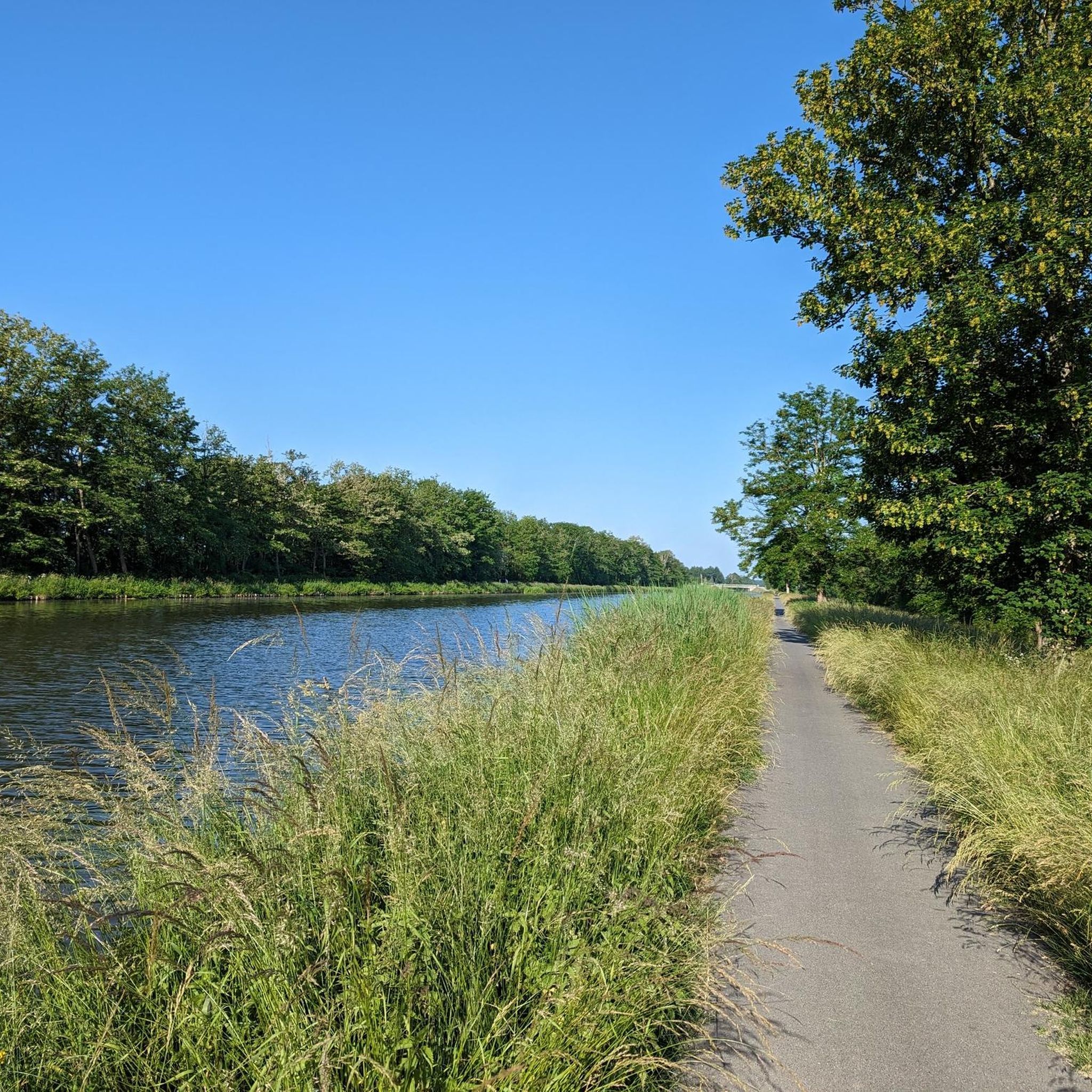
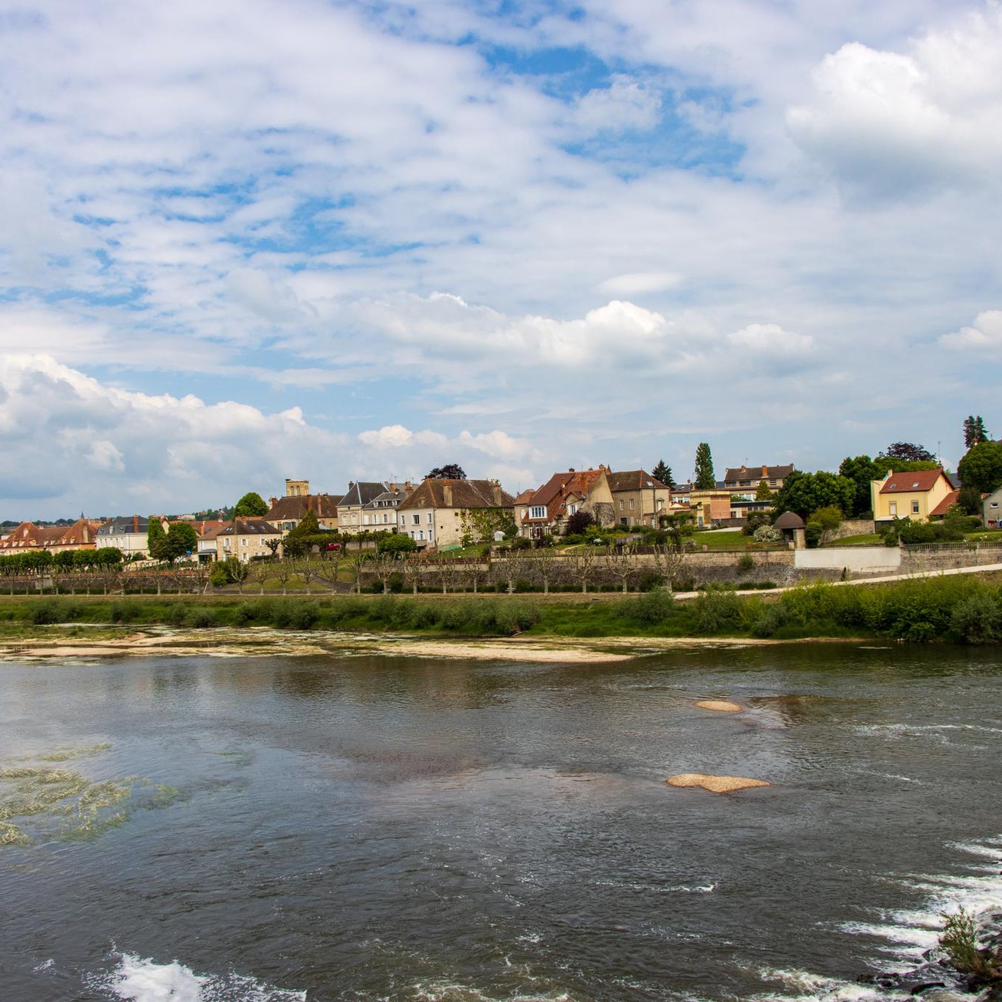
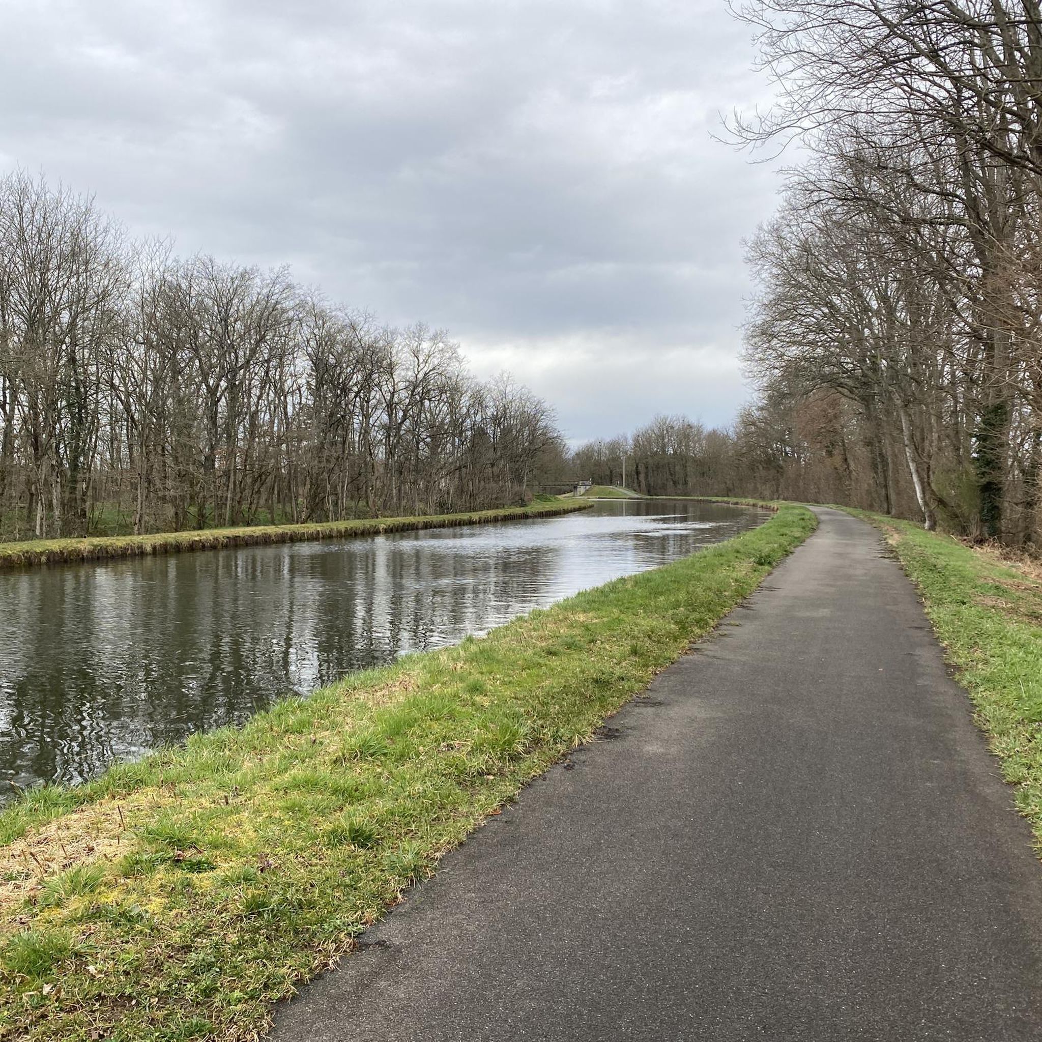
Road cycling routes around Molinet are characterized by their location within the Allier department, offering varied terrain for cyclists. The region features the tranquil Canal Latéral à la Loire, providing peaceful cycling experiences along its towpaths. Molinet is nestled amidst a landscape of river valleys, forests, and gentle hills, with roads often providing good surfaces for riding. The area is known for its natural beauty and offers a mix of flat canal-side rides and routes with moderate elevation changes.
Best…
Last updated: July 1, 2026
15
riders
67.3km
02:37
200m
200m
Moderate road ride. Good fitness required. Mostly well-paved surfaces and easy to ride.
12
riders
84.2km
03:37
380m
380m
Moderate road ride. Good fitness required. Some segments of this route may be unpaved and difficult to ride.

Sign up for free
11
riders
54.5km
02:25
360m
360m
Moderate road ride. Good fitness required. Mostly well-paved surfaces and easy to ride.
8
riders
66.7km
02:53
440m
440m
Moderate road ride. Good fitness required. Mostly well-paved surfaces and easy to ride.
6
riders
95.4km
04:02
650m
650m
Moderate road ride. Good fitness required. Mostly well-paved surfaces and easy to ride.
Get access to more routes and recommendations from other explorers.
Sign up for free
Already have an account?
Our route recommendations are based on thousands of hikes, rides, and runs completed by other people on komoot.
Start today with a free account
Your next adventure awaits.
Login or Signup
Tips from the Community

Very quiet and sheltered from the wind for riding
0
0

Cyclist-friendly hotel with bicycle garage, large rooms, simple but good breakfast
0
0

Cyclist-friendly hotel with a garage for bicycles, large rooms, and a simple but good breakfast
0
0

Medieval village, former capital of Brionnais. For lovers of old stones, Château Saint-Hugues, one of the oldest castles in Burgundy, and the very beautiful Saint-Hilaire collegiate church.
0
0
Very beautiful Romanesque church from the 12th century, typical of Brionnais
0
0

The Pont-Levis is a bascule bridge that crosses the beginning of the disused Rigole de l'Arroux (Arroux gully).
2
0


Frequently Asked Questions
How many road cycling routes are available around Molinet?
There are over 100 road cycling routes around Molinet, catering to various skill levels. You'll find approximately 17 easy routes, 85 moderate routes, and 12 challenging routes to explore the region's diverse terrain.
What kind of terrain can I expect on road cycling routes in Molinet?
Molinet's road cycling routes are characterized by their location within the Mercantour massif and the Roya Valley. This means you can expect significant elevation changes, with routes often featuring challenging climbs and scenic descents. While many roads offer good surfaces, some sections, especially at higher altitudes, might be rougher.
Are there any family-friendly road cycling routes in Molinet?
Yes, Molinet offers routes suitable for families. For instance, the Digoin Canal Bridge – Pont-Levis on the Arroux loop from Digoin is a moderate 18.5-mile (29.8 km) path with a more accessible elevation gain of 213 feet (65 meters), winding through local landscapes that can be enjoyable for a family outing.
What are some notable landmarks or natural features I can see while cycling in Molinet?
The region is rich in natural beauty and historical sites. You can cycle through the tranquil Roya Valley, with the dramatic Mercantour Massif as a backdrop. Routes often pass by iconic mountain passes like the Col de Turini and Col de Braus, offering breathtaking views. Additionally, you might encounter historical points of interest such as the Digoin Canal Bridge or the serene Canal Latéral à la Loire.
What is the best time of year for road cycling in Molinet?
The best time for road cycling in Molinet is generally from spring through early autumn. While roads often have good surfaces, higher altitudes, especially passes like Col de Turini, can have traces of snow and ice even in early October. Always check local weather conditions, particularly for mountain passes, before heading out.
Are there any long-distance or challenging road cycling routes for experienced riders?
Absolutely. Molinet is known for its challenging terrain. An example of a demanding route mentioned in the region is a 73-kilometer (45-mile) ride that includes the formidable Col de Turini and Col de Braus, involving a substantial elevation gain of 2,001 meters (6,565 feet). For a slightly less extreme but still significant challenge, consider the Digoin Canal Bridge – Port Génelard loop from Digoin, which covers 53 miles (85.3 km) with over 1,300 feet (400 meters) of elevation gain.
What do other road cyclists say about the routes in Molinet?
The road cycling routes in Molinet are highly regarded by the komoot community, holding an average score of 4.2 stars from over 10 reviews. Over 500 road cyclists have used komoot to explore the varied terrain, often praising the combination of challenging climbs, stunning natural vistas, and the tranquility of the Roya Valley.
Are there any routes that follow canals or rivers?
Yes, several routes in the Molinet area offer pleasant rides along waterways. For example, the Along the Loire canal — loop from Paray-le-Monial is a popular 41.8-mile (67.3 km) route that follows the Loire canal. Another option is the Digoin Canal Bridge – Gravel path along the canal loop from Digoin, which is a 31-mile (49.9 km) trail leading through canal-side paths.
Can I find loop routes for road cycling in Molinet?
Many of the road cycling routes around Molinet are designed as loops, allowing you to start and end at the same point. Examples include the popular Along the Loire canal — loop from Paray-le-Monial and the The Loire – Canal Latéral à la Loire loop from Digoin, providing convenient circular journeys.
Are there any historical villages or cultural sites accessible by road bike?
The region around Molinet is dotted with charming historic villages, some dating back to the 11th century, such as l'Escarène. These villages often feature historical architecture like old churches and castle ruins, providing picturesque rest stops and opportunities for cultural exploration during your ride. You can also visit the Pont-Levis on the Arroux, a notable historical bridge.
What is the average difficulty level of road cycling routes in Molinet?
The majority of road cycling routes in Molinet are classified as moderate, making up about 85 of the total routes. This indicates a good balance of challenge and accessibility, though there are also easier options and more difficult routes for experienced cyclists seeking significant climbs.
Most popular attractions around Molinet

Get inspired with the komoot mobile app


Explore more
Browse the best Road cycling routes in other regions.
