The best road cycling routes around Servilly
4.1
(12)
310
riders
123
rides
Road cycling routes around Servilly, located in the Allier department of the Auvergne-Rhône-Alpes region, traverse a landscape characterized by wooded hills, bocages, and river valleys. The terrain features undulating roads with varied elevation gains, offering routes from moderate to challenging. This area provides a blend of natural scenery and historical points of interest, including castles and churches, along mostly well-paved surfaces.
Best road cycling routes around Servilly
- The most popular road cycling route is Château de Lapalisse – Château de…
Last updated: June 28, 2026
20
riders
141km
06:47
1,820m
1,820m
Hard road ride. Very good fitness required. Mostly well-paved surfaces and easy to ride.
4.5
(4)
10
riders
34.9km
01:31
200m
200m
Easy road ride. Great for any fitness level. Mostly well-paved surfaces and easy to ride.

Sign up for free
10
riders
48.1km
02:19
440m
440m
Moderate road ride. Good fitness required. Some segments of this route may be unpaved and difficult to ride.
9
riders
77.8km
03:44
1,120m
1,120m
Hard road ride. Very good fitness required. Mostly well-paved surfaces and easy to ride.
16
riders
61.1km
02:40
470m
470m
Moderate road ride. Good fitness required. Mostly well-paved surfaces and easy to ride.
Get access to more routes and recommendations from other explorers.
Sign up for free
Already have an account?
Our route recommendations are based on thousands of hikes, rides, and runs completed by other people on komoot.
Start today with a free account
Your next adventure awaits.
Login or Signup



Tips from the Community

A very nice and pleasant pass with several climbs more or less accessible depending on the level and distance. Each side offers its share of landscapes and small villages. If you want to climb it for the beauty of the landscapes, I recommend the ascent via Les Noës or via Charrier, and for those seeking a difficult climb, Charrier also serves as the hardest side.
1
0

A long, steady climb. Almost no cars, wide roads and beautiful surroundings! Hard to find a coffee or lunch place though.
0
0
The dam bridge with a view of the salmon run
0
0

Saint-Clément is a small village on the banks of the Bresbe River. If you're hiking the GR 3, you'll probably be delighted to discover its bistro, Chez Louise, which enjoys an excellent reputation. They serve homemade dishes, and with a smile!
0
0

One of the beautiful passes in the area. Little traffic
0
0

On quiet back roads from La Palisse to Vichy in beautiful countryside.
0
0
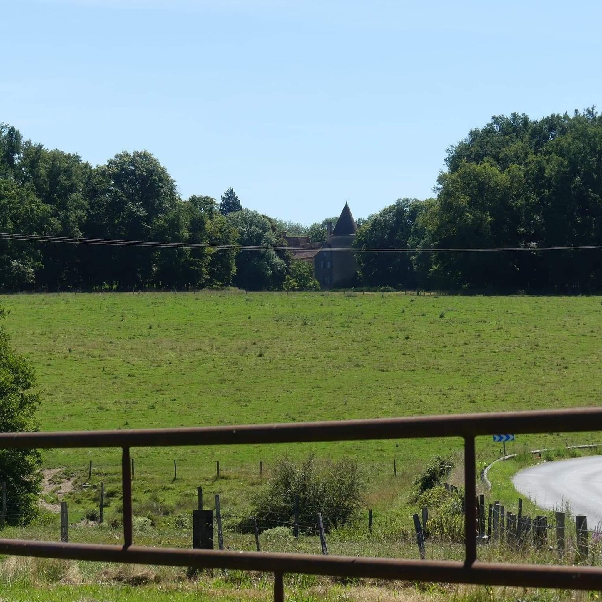
Small town at the foot of the castle of the same name.
0
0

Very beautiful, totally exotic road! It feels like you're somewhere else and you really feel like you've traveled when you come out of the dark woods! For more advice, don’t hesitate to follow us on all networks @chouchou_team
0
0
Frequently Asked Questions
How many road cycling routes are available around Servilly?
There are over 100 road cycling routes around Servilly, offering a wide range of options for different skill levels. You'll find approximately 20 easy routes, over 70 moderate routes, and nearly 20 challenging routes to explore.
What kind of terrain can I expect on road cycling routes near Servilly?
The terrain around Servilly is characterized by a blend of wooded hills, bocages (small fields and woodlands separated by hedges), and river valleys. You can expect undulating roads with varied elevation gains, from moderate climbs to significant ascents, all generally on well-paved surfaces.
Are there any challenging road cycling routes for experienced riders?
Yes, Servilly offers several challenging routes with significant elevation gains. For instance, the Col de la Croix du Sud – Col de la Rivière Noire loop from Lapalisse is a difficult 78.3 km path with over 1,130 meters of elevation gain. Another demanding option is the Saint-Léger Church of Arronnes – Church of Châtel-Montagne loop from Lapalisse, covering 93.8 km with over 975 meters of climbing.
What are some scenic highlights or landmarks I can see while cycling?
The region is rich in historical and natural beauty. You can cycle past impressive landmarks such as Château de La Palice in Lapalisse, known for its unique coffered ceilings, or the historic Jaligny Castle. Many routes also traverse the picturesque Val d'Allier National Nature Reserve, an unspoilt ecosystem along one of Western Europe's last wild rivers.
Are there any moderate-difficulty road cycling routes suitable for a good day trip?
Absolutely. A popular moderate route is the Château de Lapalisse – Château de Lapalisse loop from Périgny, which is 48.4 km long with a steady elevation gain of about 440 meters. Another excellent moderate option is the Château de Lapalisse – Vichy Saint Yorre loop from Lapalisse, covering 60.9 km with around 465 meters of elevation.
What do other cyclists say about road biking in Servilly?
The road cycling routes around Servilly are highly rated by the komoot community, with an average score of 3.7 stars from over 10 reviews. Cyclists often praise the diverse beauty of the Allier, including its wooded hills and river valleys, and the well-paved surfaces that make for an enjoyable ride.
Is Servilly a good destination for family-friendly road cycling?
While many routes feature undulating terrain and significant climbs, there are easier options available. With over 20 easy routes, families can find suitable paths, particularly those exploring the flatter sections along river valleys or within the bocage landscapes. It's advisable to check individual route profiles for specific difficulty and elevation to match your family's capabilities.
When is the best time of year for road cycling in Servilly?
The region generally offers pleasant cycling conditions from spring through autumn. The 'gentle vibes' and diverse beauty of the Allier are best enjoyed when the weather is mild, allowing for comfortable exploration of the wooded hills and river valleys. Always check local weather forecasts before heading out.
Are there circular road cycling routes available?
Yes, many of the road cycling routes around Servilly are designed as loops, allowing you to start and finish at the same point. Examples include the Château de Lapalisse – Château de Lapalisse loop from Périgny and the Col de la Croix du Sud – Col de la Rivière Noire loop from Lapalisse, providing convenient options for your ride.
Where can I find parking for road cycling routes in Servilly?
Many routes start from towns like Lapalisse or Périgny, where public parking is generally available. It's recommended to check the starting point of your chosen route on komoot for specific parking suggestions or nearby facilities.
Can I access road cycling routes in Servilly using public transport?
While Servilly itself is a small commune, larger towns in the Allier department, such as Vichy (about 21 km away), offer more public transport connections. From these towns, you might be able to cycle to Servilly or to the starting points of various routes. Always verify public transport schedules and bicycle carriage policies in advance.
Most popular attractions around Servilly

Get inspired with the komoot mobile app


Explore more
Browse the best Road cycling routes in other regions.
