The best walks and hikes around Grindorf
4.6
(2783)
11,076
hikers
309
hikes
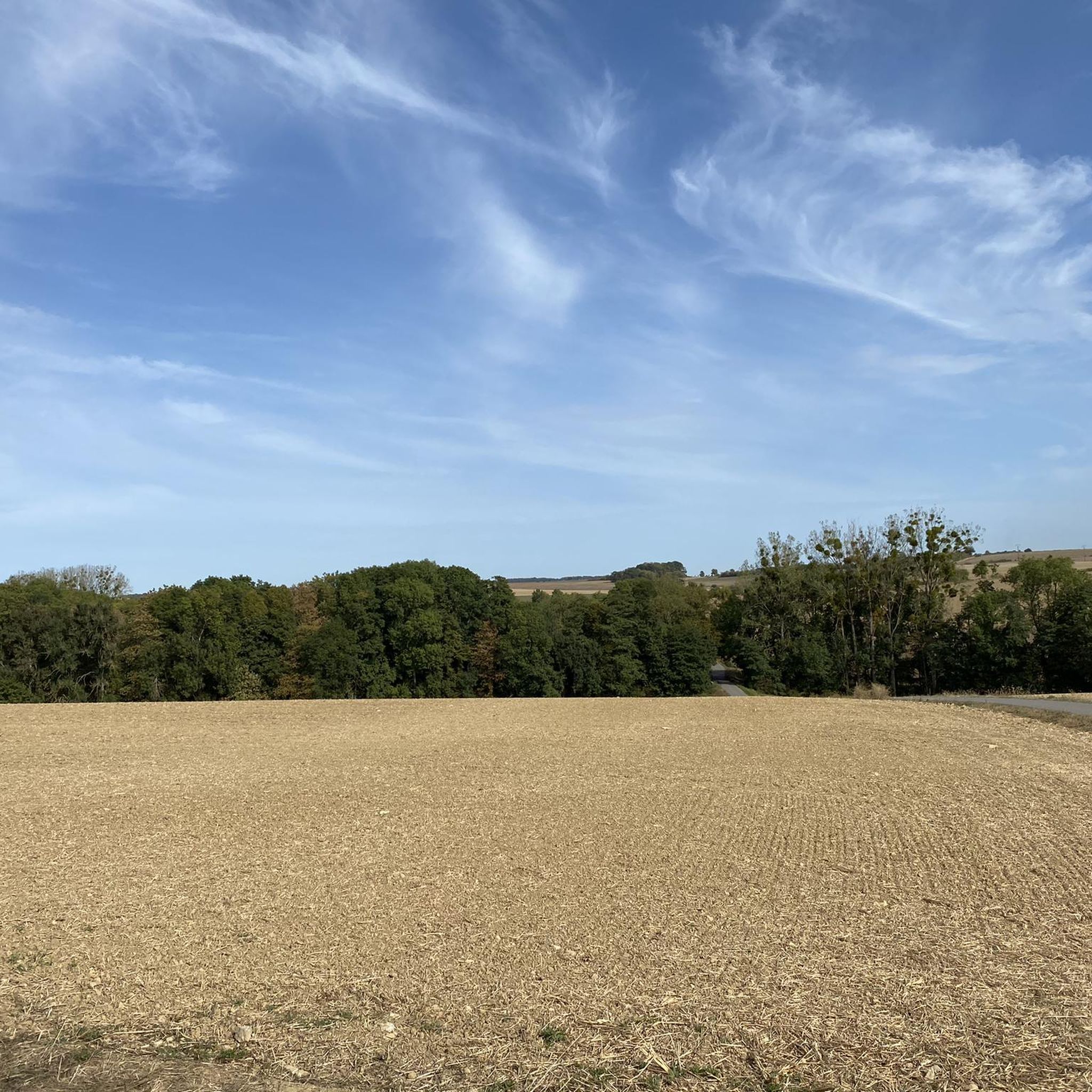
Hiking around Grindorf offers opportunities to explore the rural setting of the Moselle department in northeastern France. The area is characterized by expansive meadows, active farmland, and several meandering streams such as the Eschbach, Hermesbach, and Waldwisse. The terrain typically features gentle gradients across the French countryside, providing accessible paths for various outdoor activities. This landscape forms a network of waterways that contribute to the natural environment.
Best hiking trails around Grindorf
- The most popular hiking route is Tercentenary Oak…
Last updated: June 25, 2026
5.0
(5)
22
hikers
7.15km
01:54
70m
70m
Easy hike. Great for any fitness level. Easily-accessible paths. Suitable for all skill levels.
4.9
(19)
20
hikers
7.62km
02:05
110m
110m
Moderate hike. Good fitness required. Easily-accessible paths. Suitable for all skill levels.

Sign up for free
9
hikers
5.10km
01:22
60m
60m
Easy hike. Great for any fitness level. Easily-accessible paths. Suitable for all skill levels.
4.0
(2)
13
hikers
16.2km
04:16
140m
140m
Moderate hike. Good fitness required. Easily-accessible paths. Suitable for all skill levels.
3.0
(1)
7
hikers
Easy hike. Great for any fitness level. Easily-accessible paths. Suitable for all skill levels.
Get access to more routes and recommendations from other explorers.
Sign up for free
Already have an account?
Our route recommendations are based on thousands of hikes, rides, and runs completed by other people on komoot.
Start today with a free account
Your next adventure awaits.
Login or Signup
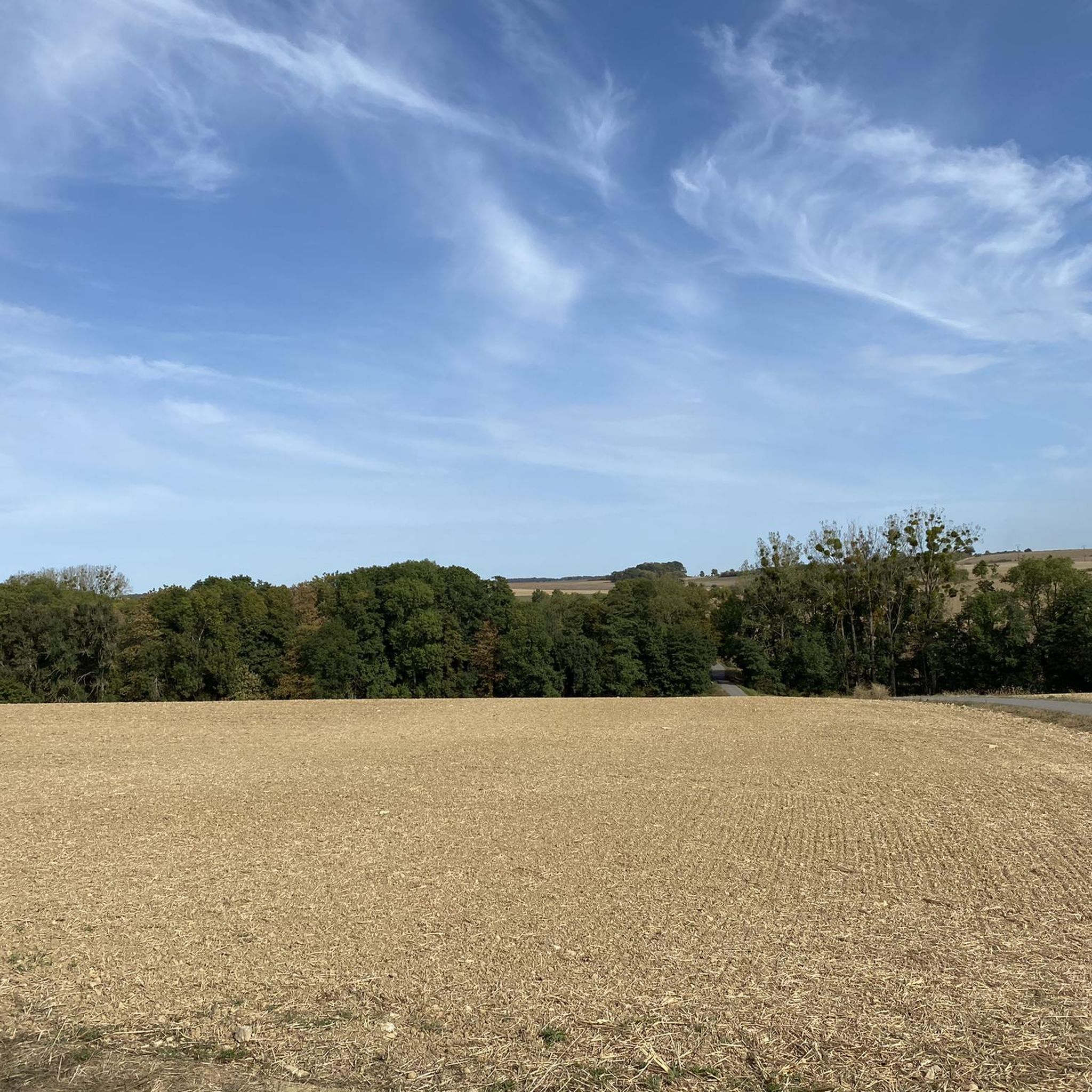
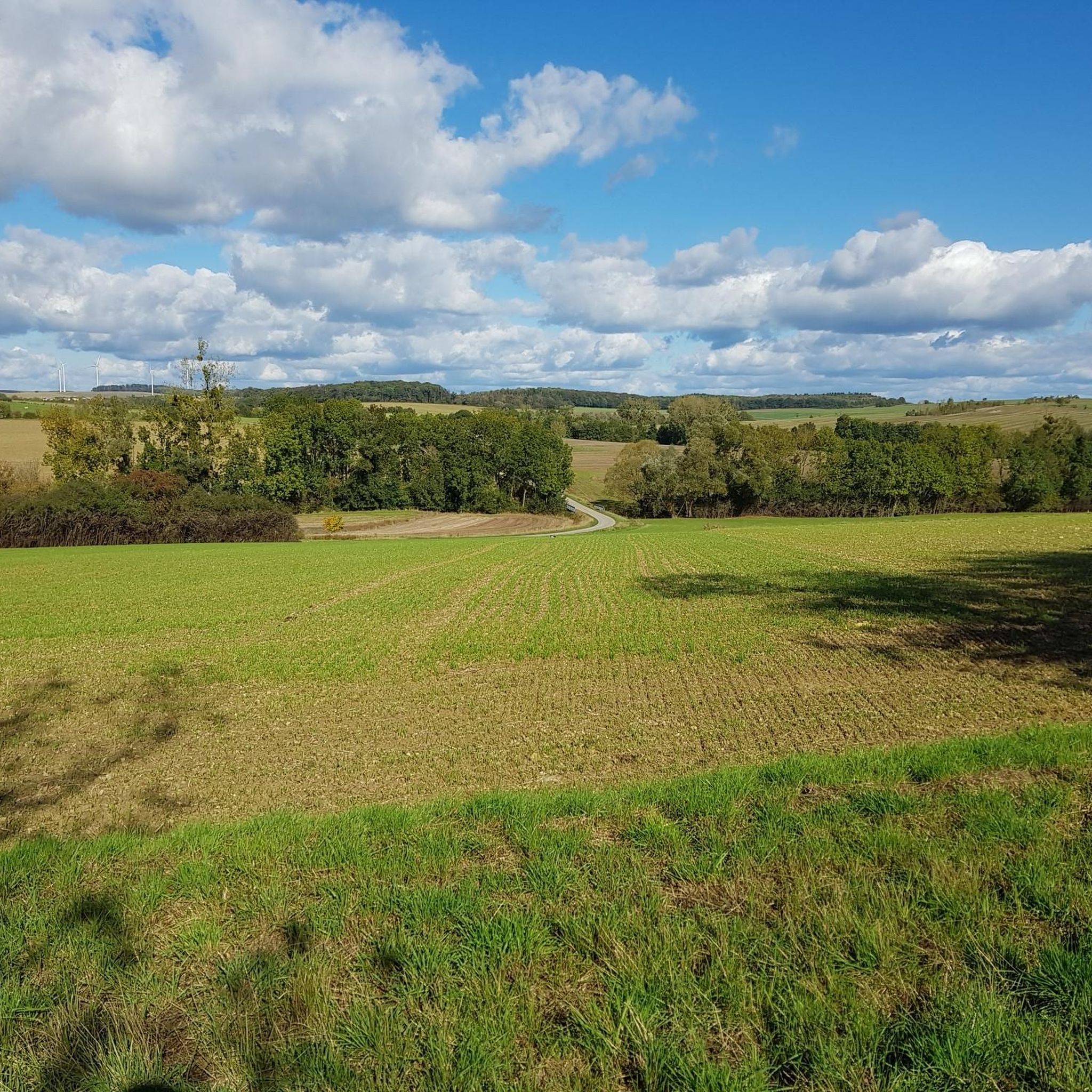
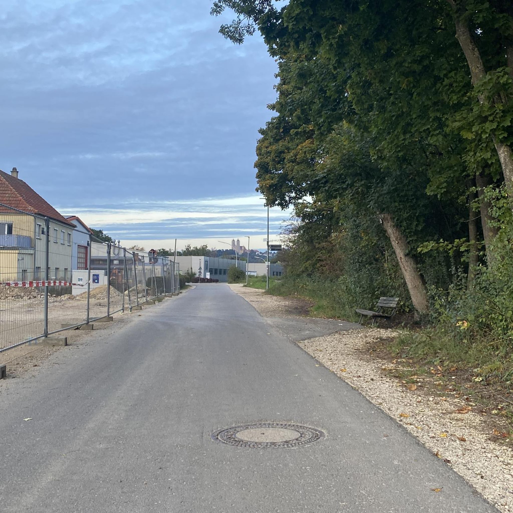
Tips from the Community

One of the most beautiful monuments in the Nordgau dominates the landscape of our village center. For over 130 years it served as a place of worship for the residents of Oberesch and was the center of their religious life. The chapel, which is a listed building, was built between 1831 and 1833.
3
0

After a brisk ascent, a really nice place to take a break. Unfortunately no water flows.
1
0

Very nice tranquil place
2
0
You should plan for a bike tour
2
0

Beautifully designed "old wash house" - covered picnic area! Thank you
2
0
Frequently Asked Questions
What kind of terrain can I expect on hikes around Grindorf?
The hiking trails around Grindorf typically feature gentle gradients across the rural French countryside. You'll encounter expansive meadows, active farmland, and paths alongside several meandering streams like the Eschbach, Hermesbach, and Waldwisse. The area is characterized by its natural surroundings and a network of waterways.
Are there many easy hiking options in the Grindorf area?
Yes, Grindorf offers a good selection of easy hikes. Out of over 300 routes available, more than 150 are classified as easy. An example is the Tercentenary Oak loop from Waldweistroff, which is an easy loop passing through local woodlands and open fields.
What are some notable natural features or landmarks to look out for on Grindorf trails?
While hiking around Grindorf, you'll experience the authentic rural landscape with its meadows and streams. The region's hydrography includes the Remel stream, which flows into the Nied. Some routes, like the 'Circuit autour de l'Heltenbach' mentioned in regional research, feature historical elements such as an authentic American bridge installed during the Liberation. For broader natural beauty, the nearby Saarschleife is a significant natural attraction.
Are there any family-friendly hiking trails near Grindorf?
Many of the easy and moderate trails around Grindorf are suitable for families. The gentle terrain and varied rural scenery make for pleasant outings. For instance, the Start of Sentier des Escargots loop from Waldweistroff is an easy 3.2-mile trail that leads through diverse countryside, often completed in about 1 hour 21 minutes, making it a good option for families.
Can I bring my dog on hikes in Grindorf?
The rural setting of Grindorf generally welcomes dogs on its hiking trails. It's always recommended to keep your dog on a leash, especially when passing through farmland or near livestock, and to respect local regulations. The open fields and woodlands provide ample space for walks with your canine companion.
Are there many circular hiking routes available?
Yes, many of the hiking routes around Grindorf are circular, offering convenient starting and ending points. For example, the View Towards France loop from Waldwisse is a moderate 4.7-mile circular path that provides scenic views across the landscape.
What is the best time of year to go hiking in Grindorf?
The best time to hike in Grindorf depends on your preference. Spring and autumn offer pleasant temperatures and vibrant scenery with blooming flowers or colorful foliage. Summer is also suitable, though it can be warmer, making the shaded woodlands and streams particularly appealing. Winter hiking is possible, but trails might be muddy or occasionally icy, so appropriate gear is essential.
What do other hikers say about the trails in Grindorf?
The trails in Grindorf are highly rated by the komoot community, with an average score of 4.5 stars from over 2,600 reviews. Hikers often praise the quiet woodlands, open fields, and the authentic rural experience. Over 11,000 hikers have used komoot to explore the varied terrain, indicating its popularity and appeal.
Are there any castles or historical sites to visit near the hiking routes?
While Grindorf itself is rural, the broader region offers several historical sites and castles within a reasonable distance. You could explore places like Malbrouck Castle or the Stadthaus Merzig (Former Electoral Palace). The area also features sites like the Celtic Farmstead Reconstruction, adding a historical dimension to your visit.
Are there any trails that offer good viewpoints?
Yes, some trails provide excellent viewpoints of the surrounding landscape. The View Towards France loop from Waldwisse is specifically noted for offering views across the local landscape towards the French border. Additionally, the Hirnberg Observation Tower is a nearby highlight offering panoramic views.
What is the longest moderate hike available in the area?
One of the longer moderate hikes is the Start of Sentier des Escargots – Tercentenary Oak loop from Laumesfeld. This route covers approximately 10 miles (16.2 km) and typically takes around 4 hours 15 minutes to complete, offering an extended exploration of the rural scenery.
Are there any trails that pass by ponds or water features?
Yes, the region is characterized by its network of waterways. The Oberesch Pond Complex – Cittadella Barefoot Path loop from Waldwisse is an easy trail that specifically highlights ponds and other water features, providing a refreshing element to your hike.
Most popular attractions around Grindorf

Get inspired with the komoot mobile app


Explore more
Browse the best Hikes in other regions.
