The best walks and hikes around Gänglingen
4.5
(164)
908
hikers
118
hikes
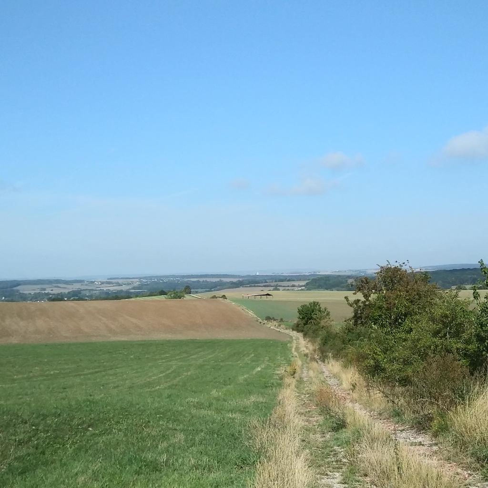
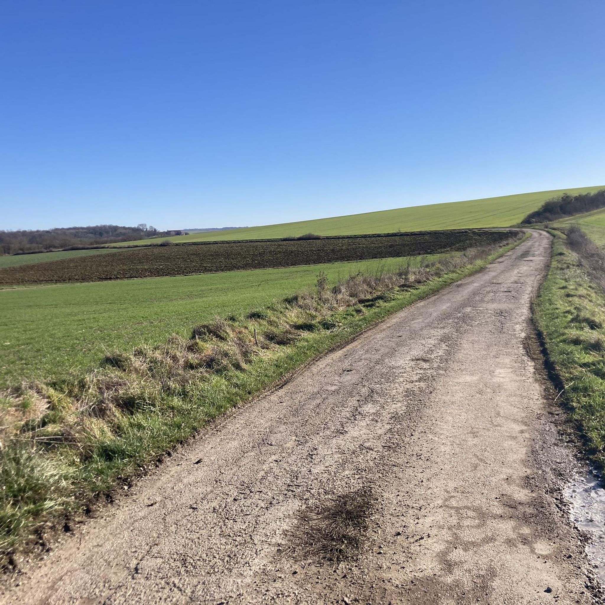
Hiking around Gänglingen offers diverse landscapes characterized by rolling hills and extensive forests. The region features a network of trails that traverse varied terrain, including open fields and wooded areas. Hikers can expect routes with moderate elevation changes, providing opportunities to explore the natural environment.
Best hiking trails around Gänglingen
- The most popular hiking route is Mont Saint-Pierre – Mante Heights loop from Servigny-lès-Raville, a 6.75 miles (10.9 km) trail that takes 2 hours 58 minutes to complete. This…
Last updated: July 5, 2026
5.0
(3)
7
hikers
8.81km
02:21
100m
100m
Moderate hike. Good fitness required. Easily-accessible paths. Suitable for all skill levels.
5.0
(1)
6
hikers
13.6km
03:34
100m
100m
Moderate hike. Good fitness required. Easily-accessible paths. Suitable for all skill levels.

Sign up for free
5.0
(1)
4
hikers
4.11km
01:06
50m
50m
Easy hike. Great for any fitness level. Easily-accessible paths. Suitable for all skill levels.
3.0
(1)
3
hikers
11.9km
03:15
190m
190m
Moderate hike. Good fitness required. Easily-accessible paths. Suitable for all skill levels.
5.0
(1)
2
hikers
8.74km
02:21
100m
110m
Moderate hike. Good fitness required. Easily-accessible paths. Suitable for all skill levels.
Get access to more routes and recommendations from other explorers.
Sign up for free
Already have an account?
Our route recommendations are based on thousands of hikes, rides, and runs completed by other people on komoot.
Start today with a free account
Your next adventure awaits.
Login or Signup


Tips from the Community

To see, an authentic bell tower
2
0
Frequently Asked Questions
How many hiking trails are available around Gänglingen?
There are over 100 hiking routes available around Gänglingen, offering a wide variety of options for different skill levels and preferences. The komoot community has explored more than 109 tours in the area.
What is the typical terrain like for hiking in Gänglingen?
Hiking around Gänglingen is characterized by diverse landscapes, including rolling hills and extensive forests. You'll find a network of trails that traverse varied terrain, from open fields to dense wooded areas, with generally moderate elevation changes.
What do other hikers say about the trails in Gänglingen?
The trails in Gänglingen are highly rated by the komoot community, with an average score of 4.5 stars from over 100 reviews. Hikers often praise the varied terrain, scenic views, and the well-maintained paths through forests and open countryside.
Are there easy hiking options in Gänglingen?
Yes, Gänglingen offers a good selection of easy hiking trails. There are 41 easy routes available, perfect for a relaxed stroll or for those new to hiking. An example is the Elvange Hiking Trail Map loop from Faulquemont, which is 7.1 km long.
What are the typical distances and durations for hikes in Gänglingen?
Hikes in Gänglingen vary in length and duration. Many popular routes are moderate, ranging from 8 to 14 kilometers and taking between 2.5 to 4 hours to complete. For instance, the Mont Saint-Pierre – Mante Heights loop from Servigny-lès-Raville is 10.9 km and takes about 3 hours.
Are there any circular hiking routes in Gänglingen?
Yes, many of the hiking trails in Gänglingen are designed as circular routes, allowing you to start and end at the same point. Examples include the Elvange Hiking Trail Map loop from Elvange and the Elvange Hiking Trail Map loop from Hémilly.
What interesting landmarks or attractions can I see along the hiking trails in Gänglingen?
While hiking in Gänglingen, you can explore several historical and natural points of interest. Notable attractions include the historic Pange Castle, remnants of the Maginot Line, and the scenic Mont Saint-Pierre viewpoint. You might also encounter other historical sites like the Ouvrage de l'Einseling – Maginot Line Bunker 36 Castelberg.
Are there any challenging hikes around Gänglingen?
While most routes are easy to moderate, there are a few more challenging options for experienced hikers. The region features 4 difficult trails, offering greater elevation changes and longer distances for those seeking a more strenuous adventure.
Is Gänglingen a good destination for family-friendly hikes?
Yes, Gänglingen is suitable for family-friendly hikes, especially with its numerous easy and moderate trails. The varied terrain and natural surroundings provide an engaging environment for children to explore. Many circular routes are perfect for a family day out.
Are dogs allowed on the hiking trails in Gänglingen?
Generally, dogs are welcome on hiking trails in Gänglingen. However, it's always recommended to keep them on a leash, especially in nature reserves or areas with livestock, and to follow local regulations regarding pet waste.
What is the best time of year to go hiking in Gänglingen?
The best times for hiking in Gänglingen are typically spring and autumn. During these seasons, the weather is mild, and the landscapes are particularly vibrant with blooming flora or colorful foliage, making for very pleasant hiking conditions.
Are there options for public transport or parking near the trailheads in Gänglingen?
While specific public transport details for individual trailheads are not extensively covered, many routes start from villages like Servigny-lès-Raville, Elvange, Hémilly, Faulquemont, and Haute-Vigneulles, where parking is generally available. It's advisable to check local transport options for specific starting points.
Most popular routes around Gänglingen
Most popular attractions around Gänglingen

Get inspired with the komoot mobile app


Explore more
Browse the best Hikes in other regions.
