The best walks and hikes around Saint-Silvain-Bellegarde
4.4
(52)
185
hikers
34
hikes
Hiking around Saint-Silvain-Bellegarde offers access to the "wild and authentic nature" of the Creuse department in Nouvelle-Aquitaine, France. The region is characterized by vast open spaces and undulating, hilly terrain, providing diverse landscapes for outdoor activities. These best hiking trails in Saint-Silvain-Bellegarde often feature scenic routes alongside waterways and through woodlands, with varied elevation changes. The area's natural features include playful rivers and sun-dappled chestnut trees, contributing to a tranquil hiking experience.
Best hiking trails around Saint-Silvain-Bellegarde
- The most popular…
Last updated: June 27, 2026
4.9
(9)
17
hikers
11.9km
03:23
260m
260m
Moderate hike. Good fitness required. Easily-accessible paths. Suitable for all skill levels.
6
hikers
12.7km
03:29
200m
200m
Moderate hike. Good fitness required. Easily-accessible paths. Suitable for all skill levels.

Sign up for free
3
hikers
8.60km
02:18
100m
100m
Moderate hike. Good fitness required. Easily-accessible paths. Suitable for all skill levels.
3
hikers
5.58km
01:31
80m
80m
Easy hike. Great for any fitness level. Easily-accessible paths. Suitable for all skill levels.
5.0
(2)
5
hikers
13.7km
03:53
300m
310m
Moderate hike. Good fitness required. Easily-accessible paths. Suitable for all skill levels.
Get access to more routes and recommendations from other explorers.
Sign up for free
Already have an account?
Our route recommendations are based on thousands of hikes, rides, and runs completed by other people on komoot.
Start today with a free account
Your next adventure awaits.
Login or Signup

Tips from the Community

This town, whose history dates back to the 5th century, is full of legends and anecdotes. Thus, during the Hundred Years' War, the inhabitants decided not to fight the English but to receive them equipped with tools topped with goat's horns. The beautiful Chevanne house houses the aviation museum dedicated to Creuse aviators.
0
0

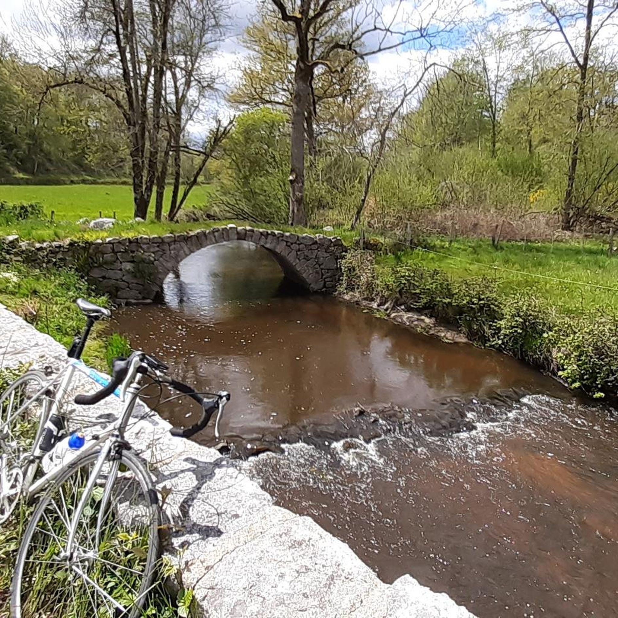
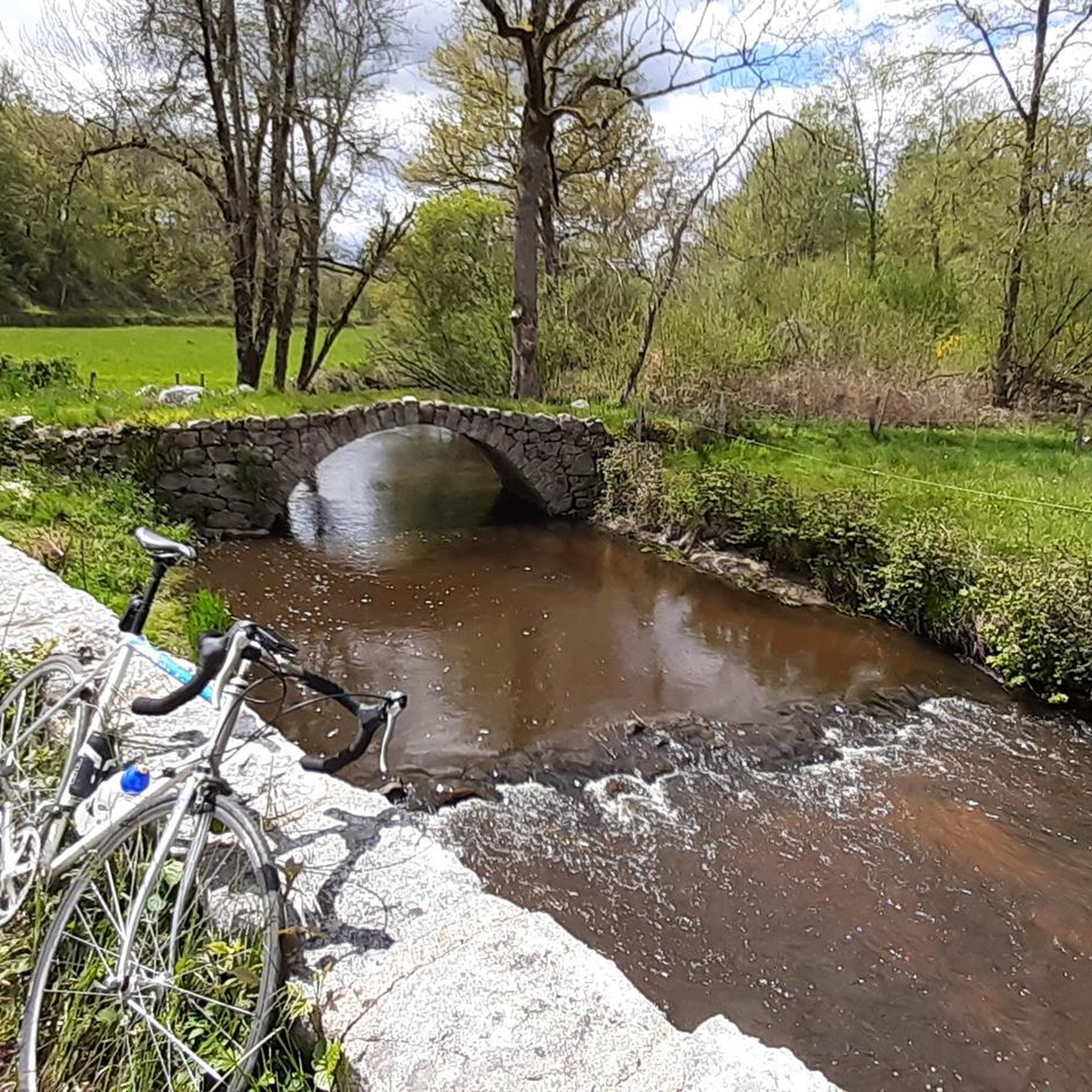
Ridge course, formerly a Gallo-Roman path called "pouge", and therefore bordered on each side by mossy stone walls. Very beautiful place with the Puy de la Croix to the south and a beautiful valley to the north!
0
0
Frequently Asked Questions
How many hiking trails are there around Saint-Silvain-Bellegarde?
There are over 20 hiking trails around Saint-Silvain-Bellegarde, offering a variety of experiences for different skill levels. The region is known for its "wild and authentic nature" and diverse landscapes.
What kind of terrain can I expect on hikes in Saint-Silvain-Bellegarde?
The terrain around Saint-Silvain-Bellegarde is characterized by undulating, hilly landscapes and vast open spaces. You'll find routes through woodlands, alongside rivers, and with varied elevation changes, from gentle paths to more demanding sections. For example, the "Circuit de randonnée : la Vallée de la Tardes" has an elevation difference of 115 meters, while the "Les 2 Vallées" circuit features a significant 315-meter change.
Are there any easy or beginner-friendly hikes in the area?
Yes, Saint-Silvain-Bellegarde offers several easier routes. Out of the 24 available trails, 7 are classified as easy, making them suitable for beginners or those looking for a more relaxed walk. These routes allow you to enjoy the tranquil scenery without significant challenge.
What natural features or landmarks can I see while hiking near Saint-Silvain-Bellegarde?
The region is rich in natural beauty, including playful rivers interacting with granite and sun-dappled chestnut trees. You can also explore cultural landmarks. For instance, the Aubusson - loop trail explores the area around Aubusson, known for its cultural heritage. You might also encounter highlights like the Terrade Bridge or the historic Aubusson Clock Tower.
Are there any circular hiking routes available?
Yes, many of the trails around Saint-Silvain-Bellegarde are circular. Popular options include the Creuse – Aubusson Old Town loop from Aubusson, which offers views of the historic town, and the Pouges du Puy de la Croix loop from Lupersat, leading through characteristic hilly landscapes.
What do other hikers enjoy most about the trails in Saint-Silvain-Bellegarde?
The trails in Saint-Silvain-Bellegarde are highly rated by the komoot community, with an average score of 4.3 stars from over 50 reviews. Hikers often praise the region's tranquil atmosphere, the diverse landscapes, and the opportunity to experience the "wild and authentic nature" of the Creuse department.
Are there any specific trails that offer significant elevation changes or panoramic views?
For more challenging hikes with significant elevation changes and potential panoramic views, consider routes like the "Les 2 Vallées" circuit, which covers 10.3 km with a 315-meter elevation change. This trail can be explored on foot or by mountain bike, offering rewarding experiences for those seeking more demanding terrain.
What is the best time of year to go hiking in Saint-Silvain-Bellegarde?
The region's natural beauty, with its playful rivers and sun-dappled chestnut trees, suggests that spring and autumn would be particularly pleasant for hiking. These seasons typically offer mild temperatures and vibrant natural colors, enhancing the experience of the diverse landscapes.
Are there any nearby towns or attractions worth visiting after a hike?
Absolutely. Aubusson, located about 11 km away, is known as the "tapestry capital" and offers cultural interest with its historic buildings and museums. Further afield, Lake Vassivière (39 km away) is the largest lake in Limousin, offering opportunities for watersports and further exploration of natural scenery, often referred to as "our little Canada."
Can I find information on public transport or parking for trailheads?
While specific public transport details for individual trailheads are not readily available, the region is well-suited for exploration by car. Many trails, especially those starting from villages like Saint-Silvain-Bellegarde or Aubusson, typically have parking options nearby. It's advisable to check local signage upon arrival for specific parking information.
Are there any long-distance trails or multi-day hiking opportunities?
While the guide focuses on day hikes, the extensive natural areas and varied terrain of the Creuse department suggest potential for longer explorations. The "Les 2 Vallées" circuit, at 10.3 km, takes approximately 3 hours, and other routes like the Château de la Vaureille – Chiroux Castle loop from Montelladonne extend to 17.7 km, offering longer single-day adventures. For multi-day trips, you would need to plan accommodations along the way.
Most popular routes around Saint-Silvain-Bellegarde
Most popular attractions around Saint-Silvain-Bellegarde

Get inspired with the komoot mobile app


Explore more
Browse the best Hikes in other regions.
