The best road cycling routes around Hottviller
4.5
(100)
1,918
riders
158
rides
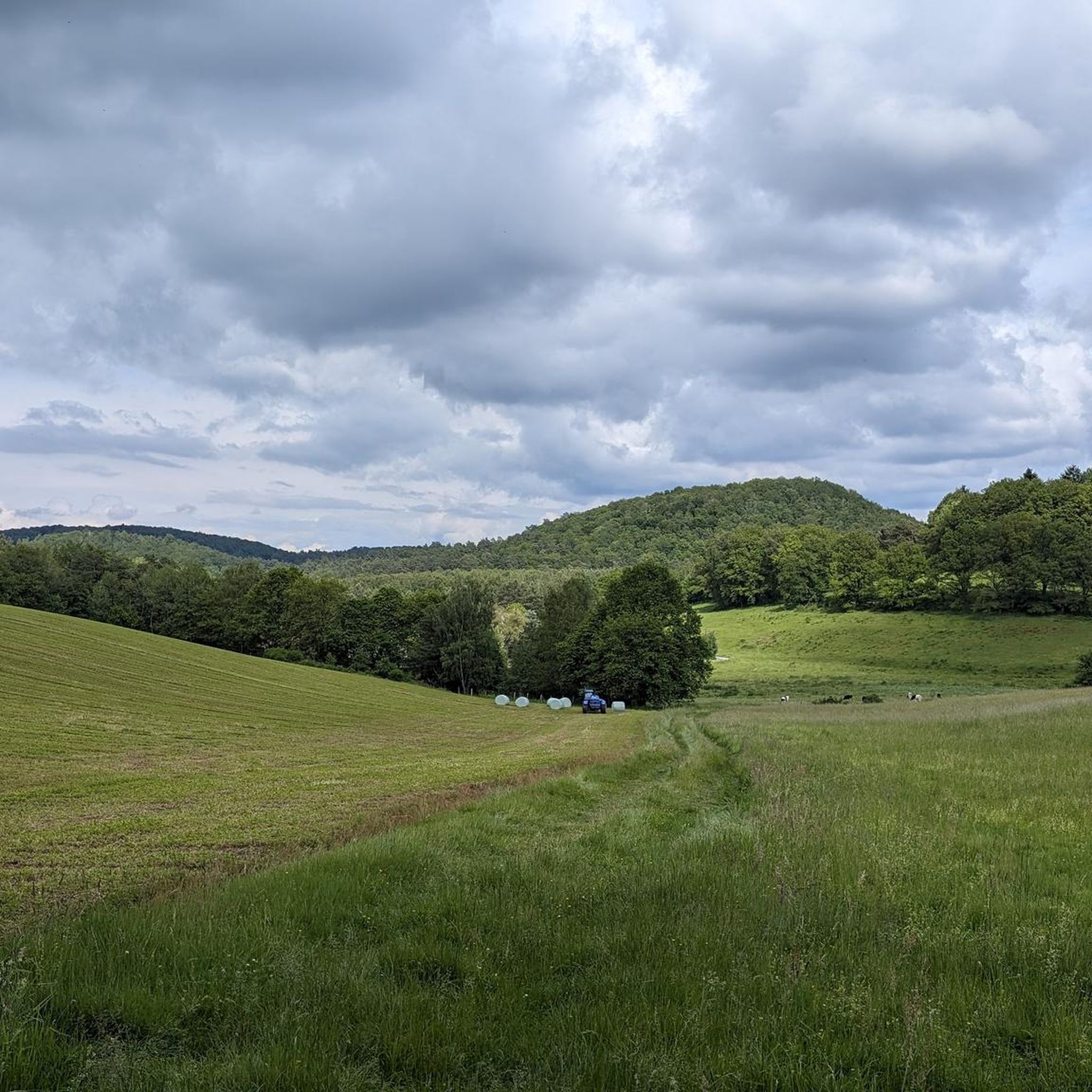
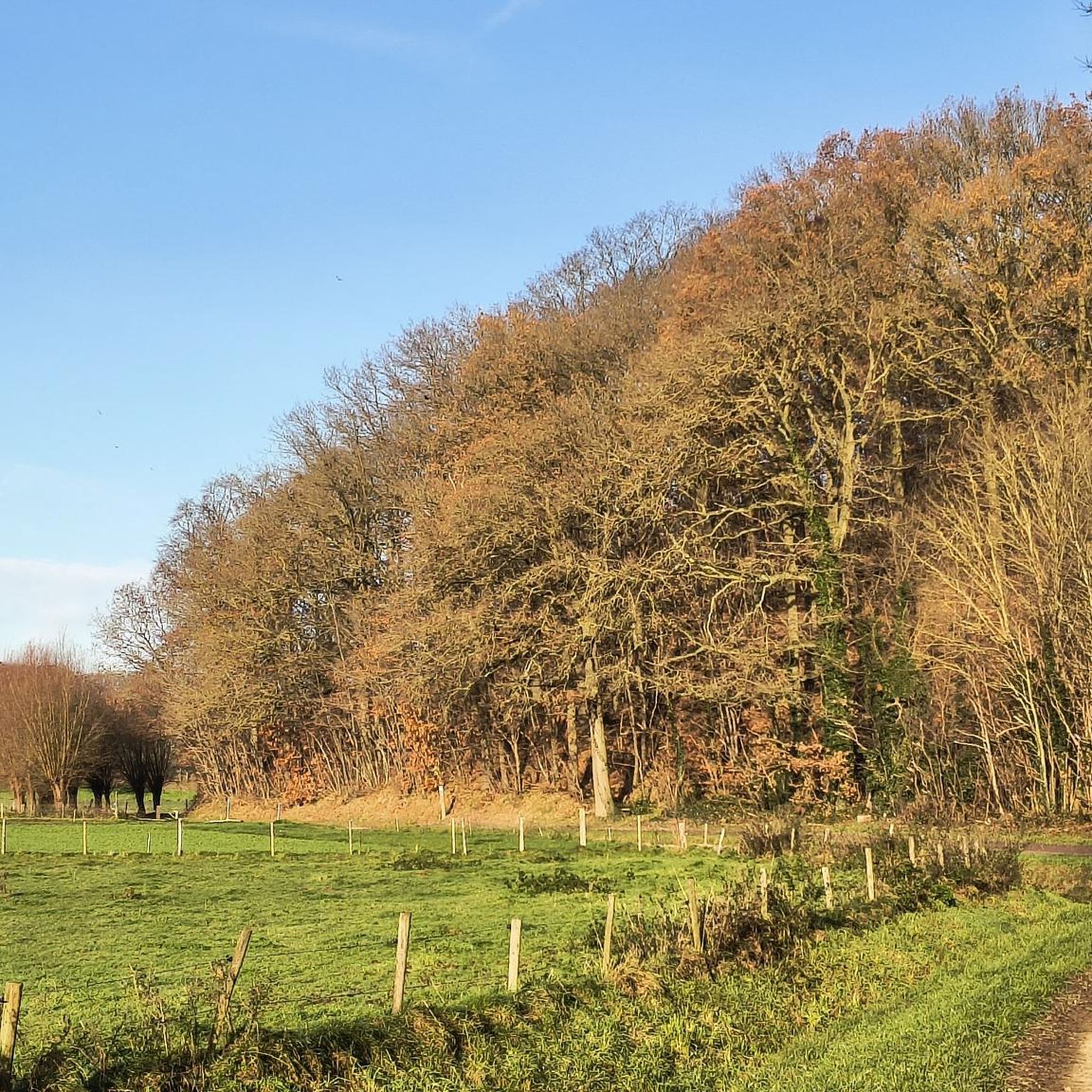
Road cycling routes around Hottviller are set within the Northern Vosges Regional Nature Park, offering diverse landscapes for cyclists. The region features extensive forest areas, rolling hills, and varied terrain with elevations ranging from 252 to 388 meters. Cyclists can expect mostly paved surfaces, with options for both gentle rides and more challenging routes involving significant elevation changes. This area provides a natural backdrop for road cycling, characterized by its varied inclines and scenic countryside.
Best road cycling routes around…
Last updated: July 3, 2026
54
riders
46.6km
02:00
360m
360m
Moderate road ride. Good fitness required. Mostly well-paved surfaces and easy to ride.
11
riders
32.1km
01:24
310m
310m
Moderate road ride. Good fitness required. Mostly well-paved surfaces and easy to ride.

Sign up for free
12
riders
45.2km
02:05
350m
350m
Moderate road ride. Good fitness required. Some segments of this route may be unpaved and difficult to ride.
10
riders
53.8km
02:32
520m
520m
Moderate road ride. Good fitness required. Some segments of this route may be unpaved and difficult to ride.
8
riders
49.5km
02:16
550m
550m
Moderate road ride. Good fitness required. Mostly well-paved surfaces and easy to ride.
Get access to more routes and recommendations from other explorers.
Sign up for free
Already have an account?
Our route recommendations are based on thousands of hikes, rides, and runs completed by other people on komoot.
Start today with a free account
Your next adventure awaits.
Login or Signup
Tips from the Community

High city gate, structurally connected to the adjacent buildings.
7
0

Starting point of our 5-pass loop towards Bitche
0
0

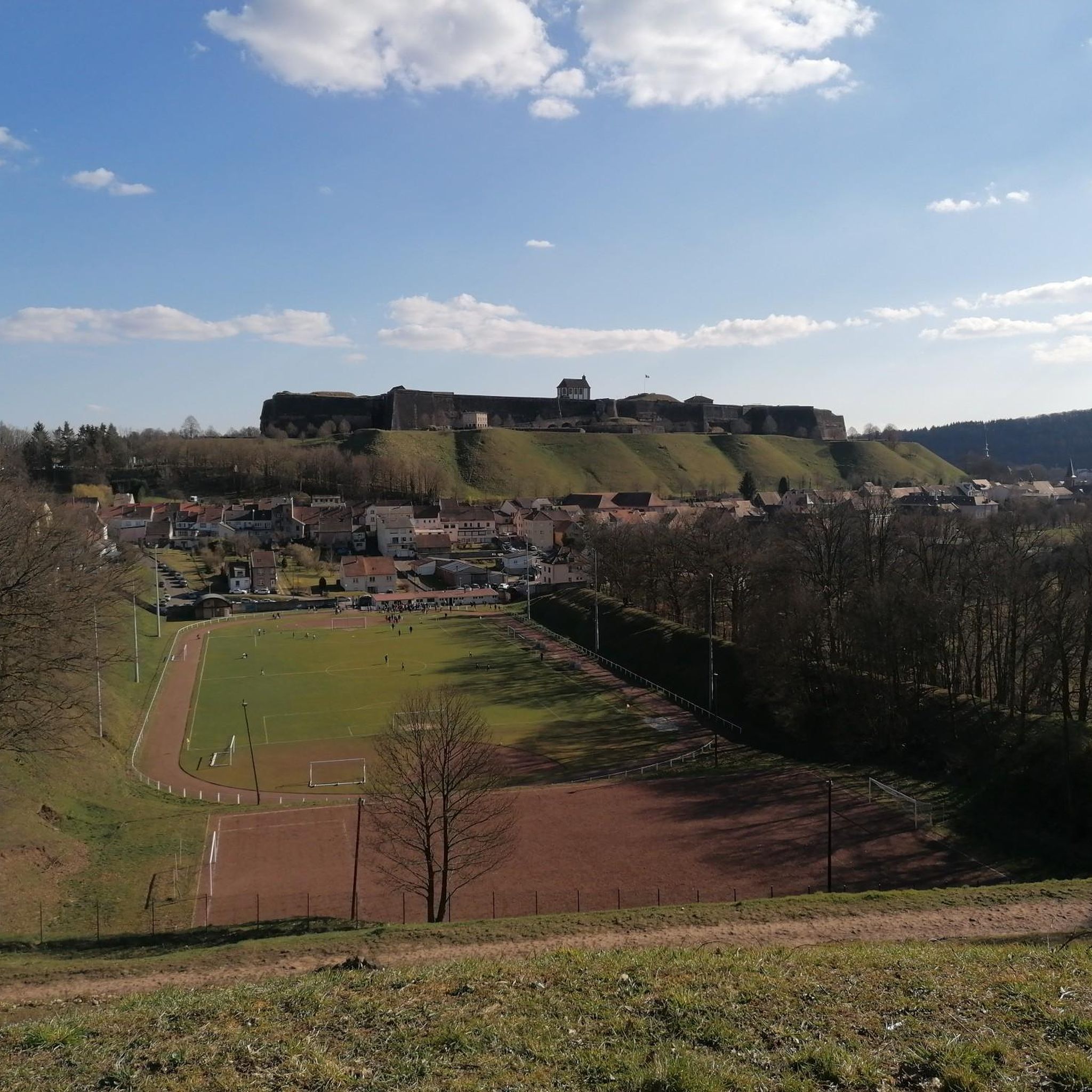
what a beautiful fortress with great views in all directions
2
0

There was a lot of excursion traffic on Sunday. We took the route from Philippsburg via Erbsenthal. That was quieter!
0
0

Stately town hall on the hillside in Bitche.
3
0
Small city gate with access to Hornbach.
4
0
Visible from afar on the hill in Bitche.
3
0
Beautiful entrance to Hornbach.
4
0
Frequently Asked Questions
How many road cycling routes are available around Hottviller?
There are over 160 road cycling routes available around Hottviller, offering a wide range of options for cyclists. These routes are set within the diverse landscapes of the Northern Vosges Regional Nature Park.
What kind of terrain can I expect when road cycling in the Hottviller region?
The Hottviller region, nestled within the Northern Vosges Regional Nature Park, features extensive forest areas, rolling hills, and varied terrain. You can expect mostly paved surfaces, with elevations ranging from 252 to 388 meters, providing both gentle stretches and more challenging inclines.
Are there road cycling routes suitable for different skill levels?
Yes, the Hottviller area offers routes for various skill levels. You'll find 19 easy routes, 106 moderate routes, and 39 more difficult options, ensuring there's something for everyone from beginners to experienced road cyclists.
What historical landmarks or scenic viewpoints can I visit while cycling near Hottviller?
While cycling near Hottviller, you can encounter several notable landmarks and scenic spots. The historic Citadel of Bitche is a prominent attraction, offering panoramic views. You might also pass by the picturesque Hasselfurth Pond, surrounded by vast forests, or the historic Hornbach Abbey. For natural monuments, consider visiting the Croix Saint-Hubert or the Monumental Pedunculate Oak.
Are there any family-friendly road cycling routes in the Pays de Bitche area?
While many routes in the Pays de Bitche area feature rolling hills, some of the easier routes are suitable for families. Look for routes with less elevation gain and shorter distances, which can be found among the 19 easy routes available around Hottviller.
What do other road cyclists enjoy most about road cycling in Hottviller?
The road cycling routes around Hottviller are highly rated by the komoot community, with an average score of 4.5 stars. Cyclists often praise the diverse landscapes, the extensive forest areas, and the varied terrain of the Northern Vosges Regional Nature Park, which offers a mix of challenging climbs and scenic rides.
Can I find loop road cycling trails around Hottviller?
Yes, many of the road cycling routes around Hottviller are designed as loops, allowing you to start and end in the same location. An example is the Blies River Trail – Along the Saar loop from Petit-Réderching, which offers a scenic circular tour.
Are there any routes that pass by lakes or ponds?
Yes, the region features several natural water bodies. For instance, the Sägmühl Pond – Citadel of Bitche loop from Bitche passes by Sägmühl Pond. Another route, the Étang d'Haspelschiedt – Hasselfurth pond loop from Schorbach, takes you past both Étang d'Haspelschiedt and Hasselfurth Pond, offering picturesque views.
What is a popular moderate road cycling route in the area?
A popular moderate route is the Philippsbourg / Baerenthal – Citadel of Bitche loop from Petit-Réderching. This 68 km path features varied terrain and includes views of the historic Citadel of Bitche, making it a favorite among local cyclists.
Are there any specific natural monuments to look out for on the routes?
Beyond the general natural beauty, you can find specific natural monuments. The Rock Passage Between Étang de Hasselfurth and Hochkopf Pass and the Choir Rocks are examples of unique geological features you might encounter, particularly in the gorges and natural monument areas around Hottviller.
What is the best time of year for road biking in Hottviller?
The region's diverse landscapes are enjoyable throughout the warmer months. Spring and autumn generally offer pleasant temperatures and beautiful scenery, while summer provides longer daylight hours. Winter conditions might be challenging due to colder weather and potential for ice or snow, especially on higher elevations.
Are there routes that explore the border region with Germany?
Yes, some routes in the Hottviller area, being close to the French-German border, allow you to explore this cross-border region. The Glan-Blies Cycle Path – Nice road near Obergailbach loop from Petit-Réderching is an example of a route that ventures into this area, offering a glimpse of the neighboring landscapes.
Most popular routes around Hottviller
Most popular attractions around Hottviller

Get inspired with the komoot mobile app


Explore more
Browse the best Road cycling routes in other regions.
