The best running trails around Buxières-Sous-Montaigut
4.5
(2)
96
runners
32
runs
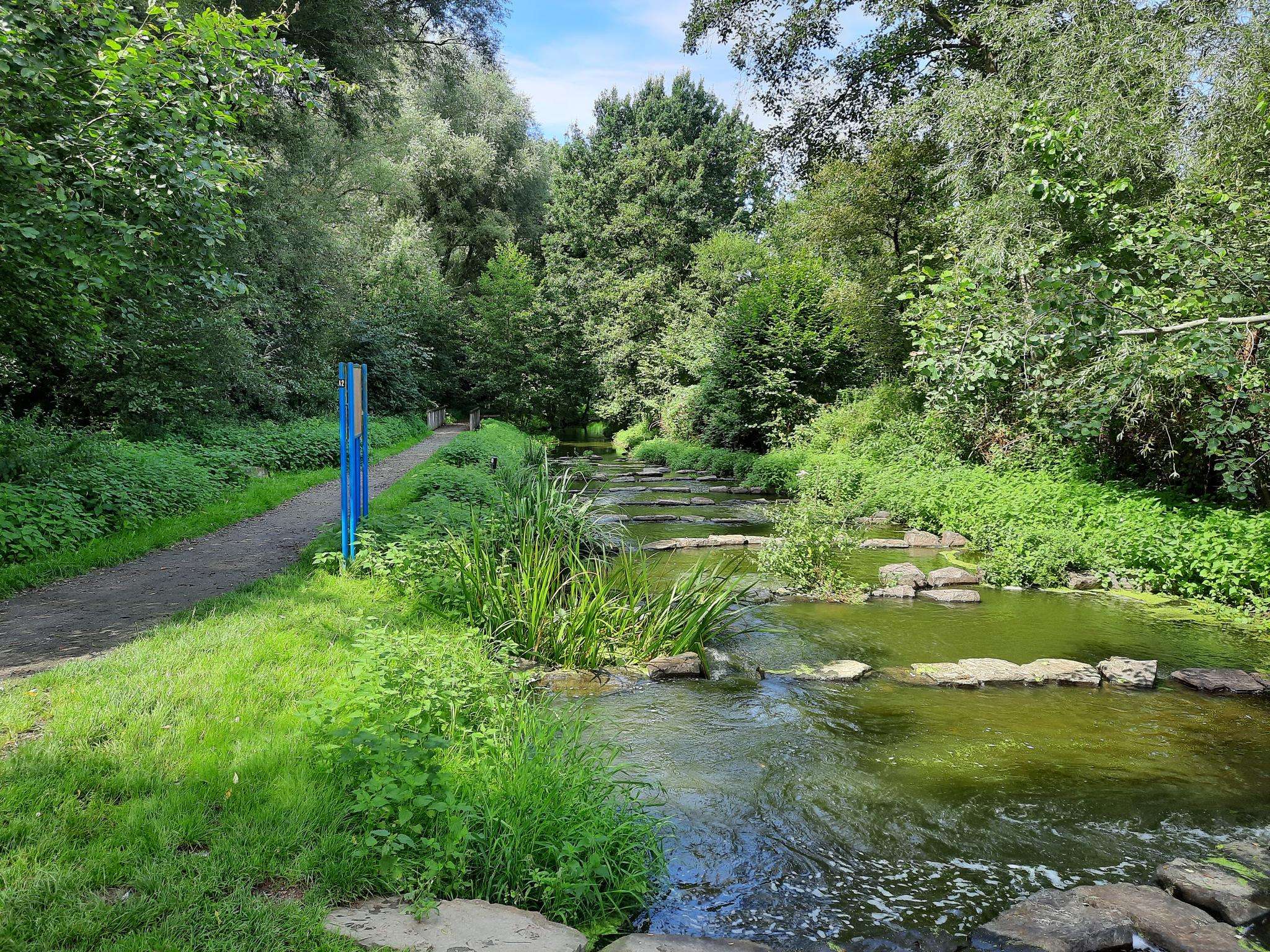
Jogging routes around Buxières-Sous-Montaigut traverse a landscape characterized by lush forests and rolling hills, providing varied terrain for runners. The region features undulating paths and natural trails suitable for different fitness levels. Nearby, the La Sioule river and its valleys offer additional scenic running opportunities. This area provides a natural setting for outdoor physical activity.
Best jogging routes around Buxières-Sous-Montaigut
- The most popular jogging route is Étang de Nades loop from Servant, a 8.7 miles (14.0 km) trail that…
Last updated: July 1, 2026
8
runners
6.85km
00:44
110m
110m
Moderate run. Good fitness required. Mostly paved surfaces. Suitable for all skill levels.
5.0
(1)
10
runners
11.2km
01:13
90m
90m
Moderate run. Good fitness required. Mostly paved surfaces. Suitable for all skill levels.

Sign up for free
6
runners
13.1km
01:26
170m
170m
Moderate run. Good fitness required. Mostly paved surfaces. Suitable for all skill levels.
3
runners
11.7km
01:21
200m
200m
Moderate run. Good fitness required. Mostly paved surfaces. Suitable for all skill levels.
4
runners
6.23km
00:40
100m
90m
Moderate run. Good fitness required. Mostly paved surfaces. Suitable for all skill levels.
Get access to more routes and recommendations from other explorers.
Sign up for free
Already have an account?
Our route recommendations are based on thousands of hikes, rides, and runs completed by other people on komoot.
Start today with a free account
Your next adventure awaits.
Login or Signup


Frequently Asked Questions
How many running routes are available around Buxières-Sous-Montaigut?
There are over 25 dedicated running routes around Buxières-Sous-Montaigut, offering a variety of options for different fitness levels and preferences.
What kind of scenery can I expect while jogging in this region?
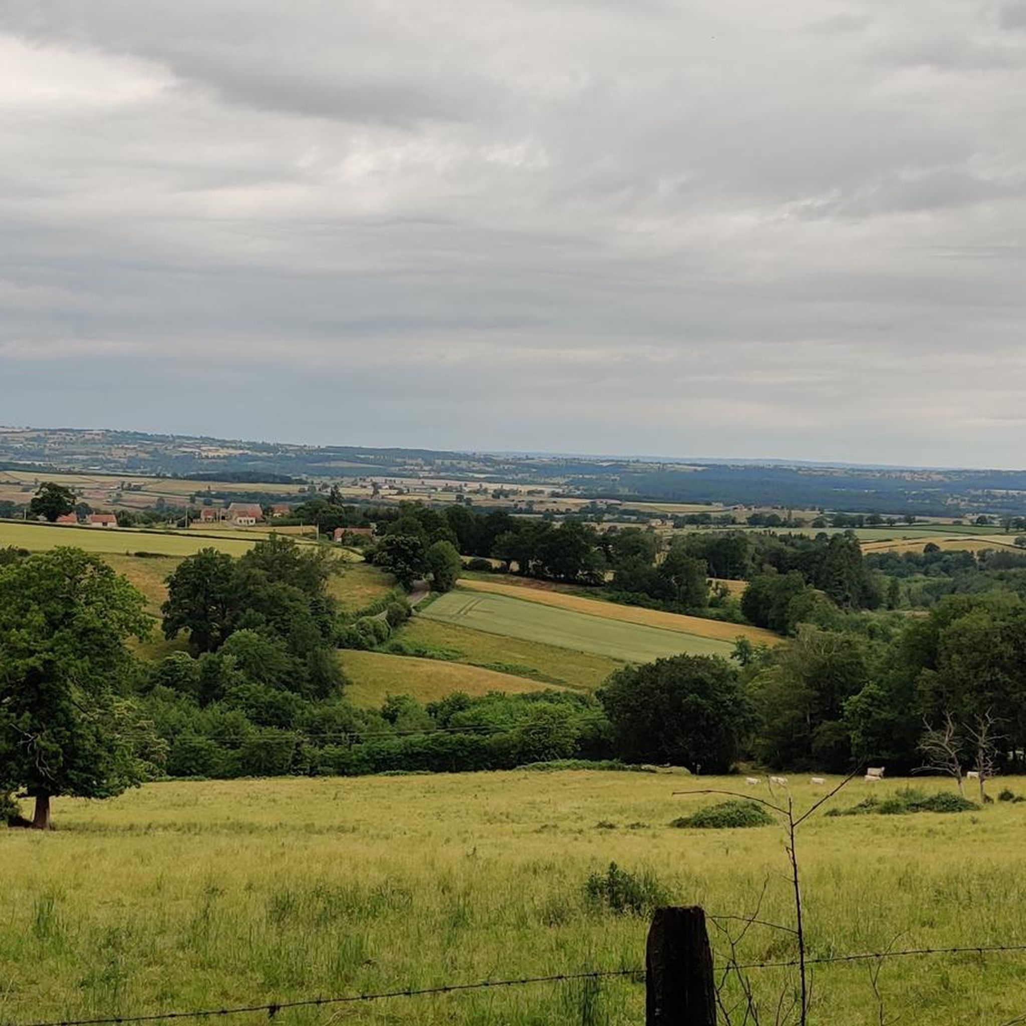
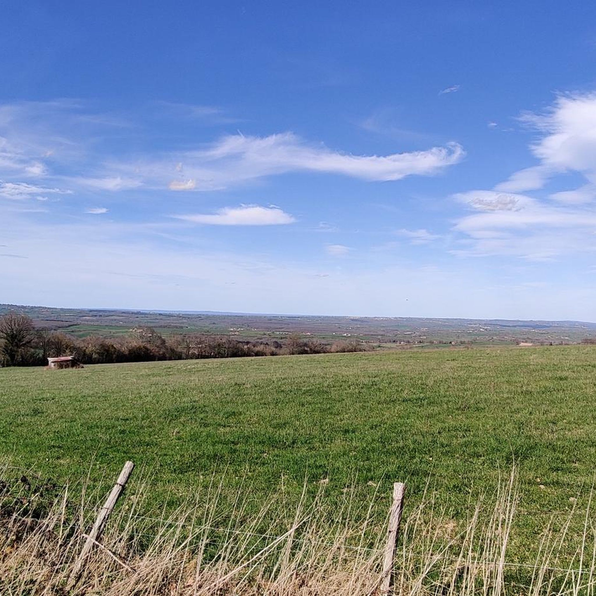
The region around Buxières-Sous-Montaigut is characterized by lush forests and rolling hills, providing a serene and scenic backdrop for your runs. You'll find undulating paths and natural trails, with some routes offering views of the La Sioule river and its valleys. The nearby Parc Naturel Régional des Volcans d'Auvergne also contributes to unique and breathtaking viewpoints.
What do other runners think about the trails in Buxières-Sous-Montaigut?
The running routes in Buxières-Sous-Montaigut are highly rated by the komoot community, with an average score of 4.7 stars from 4 reviews. Over 90 runners have used komoot to explore the varied terrain, often praising the natural setting and diverse options.
Are there any easy running routes suitable for beginners?
While there are no routes specifically classified as 'easy' in our current selection, the majority of the 26 available routes are rated as moderate. These moderate paths, such as the Running loop from Montaigut-en-Combraille, often wind through the countryside with manageable elevation changes, making them suitable for those with some running experience.
Can I find circular running routes in the area?
Yes, many of the running routes around Buxières-Sous-Montaigut are circular. For example, the popular Étang de Nades loop from Servant is a challenging 14 km trail, and the Bassins de la Bouble loop from Saint-Éloy-les-Mines offers a moderate 11.2 km option.
When is the best time of year to go running in Buxières-Sous-Montaigut?
The mild weather in spring makes it a particularly inviting time for outdoor activities like running, as flowers bloom and paint the landscape with vibrant colors. However, the lush forests and rolling hills offer pleasant conditions throughout much of the year.
Are there any longer or more challenging running trails for experienced runners?
Absolutely. For experienced runners seeking a challenge, there are 5 routes classified as 'difficult'. A notable option is the Étang de Nades loop from Servant, which spans 14 km with significant elevation changes, offering rewarding views.
What interesting landmarks or natural sites can I see near the running routes?
While running, you might encounter several interesting points. The Lac de Servant is a beautiful lake nearby, and the Viaduc de la Bouble is an impressive bridge. You can also explore natural formations like the Chaos granitiques and the geological Cuviers de la Faye in the wider region.
Are there any running routes that pass by lakes or water features?
Yes, several routes incorporate water features. The Étang de Nades loop from Servant offers views of the Étang de Nades, and the Bassins de la Bouble loop from Saint-Éloy-les-Mines leads along the Bassins de la Bouble. The La Sioule river also runs through the vicinity, providing scenic riverside opportunities.
Are there any running routes that offer historical or cultural points of interest?
While the focus is on natural landscapes, you can find some historical points nearby. The Puits II Mining Monument is a significant man-made monument in the area, and the Château du Bois loop from Colombier suggests a route that might pass by or near historical estates.
What is the average distance of running trails in Buxières-Sous-Montaigut?
The running trails in Buxières-Sous-Montaigut vary in length, but many fall within the moderate to longer distance range. For instance, the Running loop from Montaigut-en-Combraille is 6.9 km, while the Étang de Nades loop from La Bosse is 11.1 km, offering options for various training goals.
Most popular routes around Buxières-Sous-Montaigut
Most popular attractions around Buxières-Sous-Montaigut

Get inspired with the komoot mobile app


Explore more
Browse the best Running Trails & Routes in other regions.
