The best walks and hikes around Lapeyrouse
4.5
(146)
505
hikers
84
hikes
Hiking around Lapeyrouse offers diverse outdoor opportunities within the Combrailles region, characterized by rugged terrain, state forests, and the Sioule river valley. This area features a crystalline base of magmatic and volcanic origin, forming a vast plateau. The landscape is protected from mass tourism, fostering diverse flora and fauna.
Best hiking trails in Lapeyrouse
- The most popular hiking route is Plans d'Eau de Lapeyrouse – Magnificent view loop from Lapeyrouse, a 12.7 miles (20.5 km) trail that takes 5…
Last updated: August 26, 2026
4.8
(6)
16
hikers
8.52km
02:26
200m
200m
Moderate hike. Good fitness required. Easily-accessible paths. Suitable for all skill levels.
4.7
(7)
23
hikers
5.53km
01:32
100m
100m
Easy hike. Great for any fitness level. Easily-accessible paths. Suitable for all skill levels.

Sign up for free
5.0
(1)
4
hikers
11.1km
03:06
200m
210m
Moderate hike. Good fitness required. Easily-accessible paths. Suitable for all skill levels.
5.0
(1)
4
hikers
12.1km
03:21
220m
220m
Moderate hike. Good fitness required. Easily-accessible paths. Suitable for all skill levels.
5.0
(1)
5
hikers
6.24km
01:39
50m
50m
Easy hike. Great for any fitness level. Easily-accessible paths. Suitable for all skill levels.
Get access to more routes and recommendations from other explorers.
Sign up for free
Already have an account?
Our route recommendations are based on thousands of hikes, rides, and runs completed by other people on komoot.
Start today with a free account
Your next adventure awaits.
Login or Signup

Tips from the Community

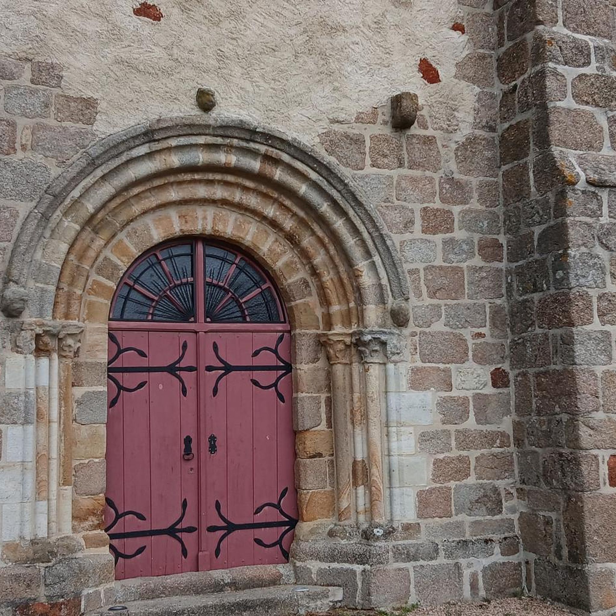
A beautiful church with powerful architecture. The interior has an enormous aisle of pillars. On one of the very high pillars, we find the symbol of a double serpent in the shape of an 8 biting its tail, a symbol of infinity and certainly of the earthly forces that intersect beneath.
0
0
Closed to the alley, I went back there on my way back. A 12th-century church built on a site of energy.
0
0

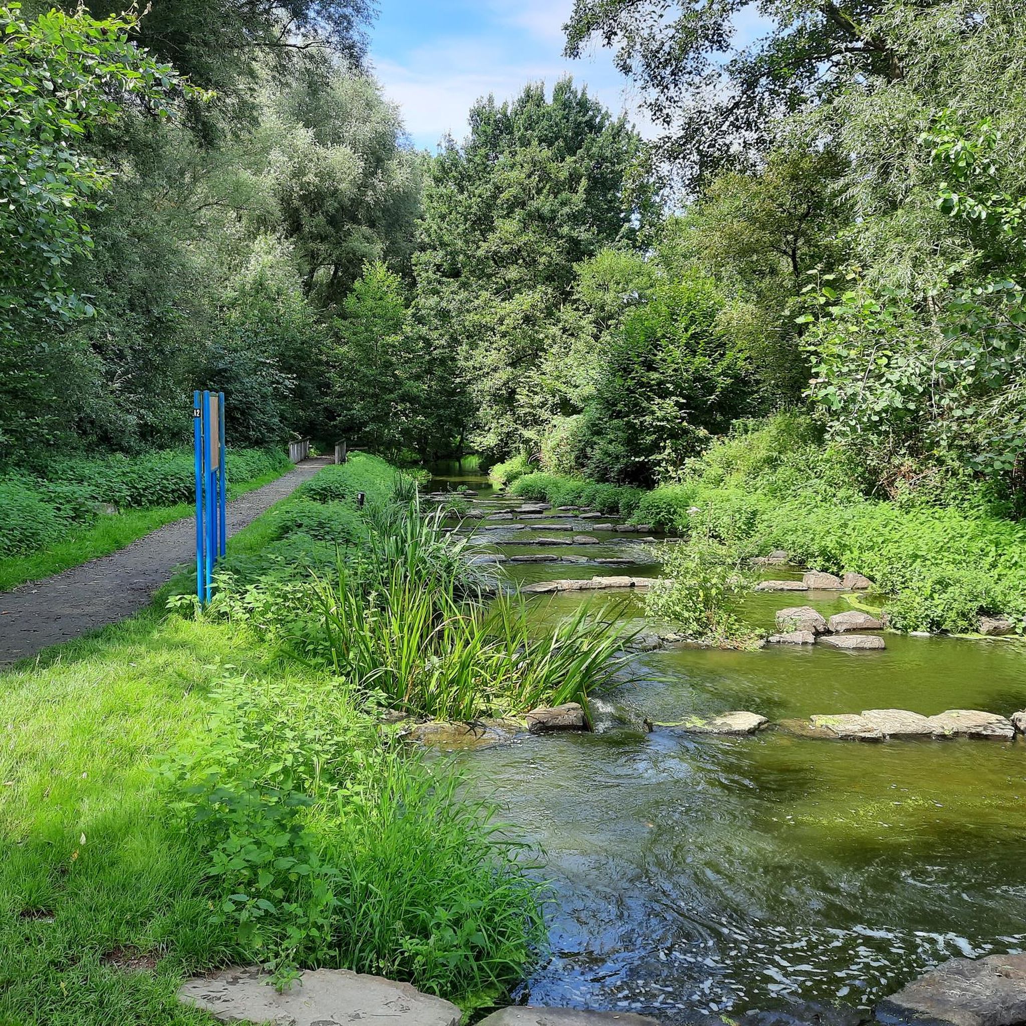
Very nice place on the banks of the Bouble which offers a rest area
0
0

Magnificent waterfall. Buccolic!
0
1
Frequently Asked Questions
How many hiking trails are available around Lapeyrouse?
There are over 70 hiking routes available around Lapeyrouse, offering a wide range of options for different skill levels and preferences.
What types of terrain can I expect on hikes in Lapeyrouse?
The Lapeyrouse area, particularly in the Combrailles region, is characterized by rugged terrain, state forests, and the Sioule river valley. You'll find a vast plateau with a crystalline base of magmatic and volcanic origin, offering diverse landscapes to explore.
Are there any easy hiking options for beginners or casual walkers?
Yes, Lapeyrouse offers plenty of easy hiking options. There are 22 routes classified as easy, perfect for beginners or those looking for a relaxed stroll. An example is the Plans d'Eau de Lapeyrouse loop from Lapeyrouse, which is about 3.5 miles (5.6 km) long.
Can I find longer, more challenging hikes in the Lapeyrouse area?
Absolutely. For those seeking a challenge, there are difficult routes available. The Plans d'Eau de Lapeyrouse – Magnificent view loop from Lapeyrouse is a difficult 12.7 miles (20.5 km) trail that takes approximately 5 hours 35 minutes to complete, offering expansive views.
Are there any waterfalls to see on the trails around Lapeyrouse?
Yes, you can discover the beautiful Moulin Berthon Waterfall. The Moulin Berthon Waterfall loop from Vernusse is a moderate 5.3 miles (8.5 km) path that leads directly to it.
What natural features or landmarks can I explore while hiking?
Beyond the Moulin Berthon Waterfall, you can explore the serene Lac de Servant, or marvel at the engineering of the Viaduc de la Bouble. The region's unique geology also offers a rich diversity of minerals and rocks.
What do other hikers say about the trails in Lapeyrouse?
The trails in Lapeyrouse are highly regarded by the komoot community, with an average rating of 4.5 stars from over 100 reviews. Hikers often praise the diverse terrain, the quiet natural environment, and the well-maintained paths.
Are there family-friendly hiking routes in Lapeyrouse?
Yes, many of the easy routes are suitable for families. The Plans d'Eau de Lapeyrouse loop from Lapeyrouse is a good option for a family walk, offering a pleasant experience around the ponds.
Are dogs allowed on the hiking trails around Lapeyrouse?
Generally, dogs are welcome on trails in France, but it's always best to keep them on a leash, especially in protected areas or near livestock. Specific regulations might apply in certain natural reserves like the Sensitive Natural Area of Vernange, so check local signage.
Are there circular hiking routes available?
Yes, many of the routes around Lapeyrouse are circular, allowing you to start and end at the same point. Examples include the Moulin Berthon Waterfall loop from Vernusse and the Plans d'Eau de Lapeyrouse loop from Lapeyrouse.
Where can I find panoramic views during my hike?
For stunning panoramic views, consider the Plans d'Eau de Lapeyrouse – Magnificent view loop from Lapeyrouse. This difficult route offers expansive vistas over the Plans d'Eau. If you venture towards La Peyrouse in Isère, you can also find sublime views of Mont Aiguille and the Vercors mountain range.
Is it possible to spot wildlife while hiking in Lapeyrouse?
Yes, the Lapeyrouse area is protected from mass tourism, which fosters the development of diverse animal and plant species. Keep an eye out for various flora and fauna, especially in the state forests and along the Sioule river valley. The Sensitive Natural Area of Vernange, near Lapeyrouse in Ain, is particularly known for birdwatching.
What is the best time of year to go hiking in Lapeyrouse?
The region offers pleasant hiking conditions through much of the year. Spring and autumn provide mild temperatures and beautiful scenery, while summer is ideal for longer days. Winter hikes are possible, but be aware that higher elevations, like La Peyrouse in Isère, might have snow, requiring appropriate gear.
Most popular attractions around Lapeyrouse

Get inspired with the komoot mobile app


Explore more
Browse the best Hikes in other regions.
