The best road cycling routes around Lederzeele
4.4
(119)
4,970
riders
531
rides
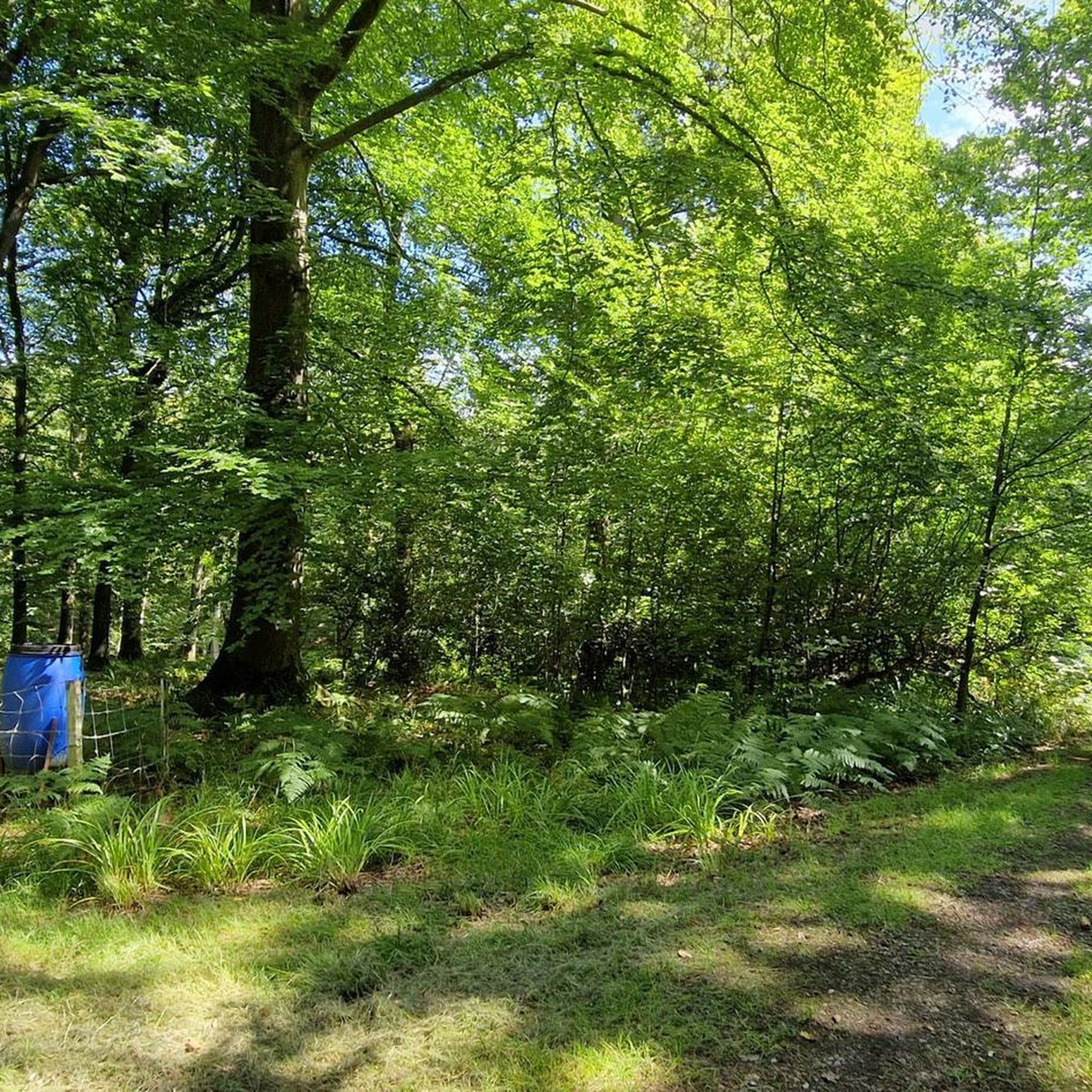
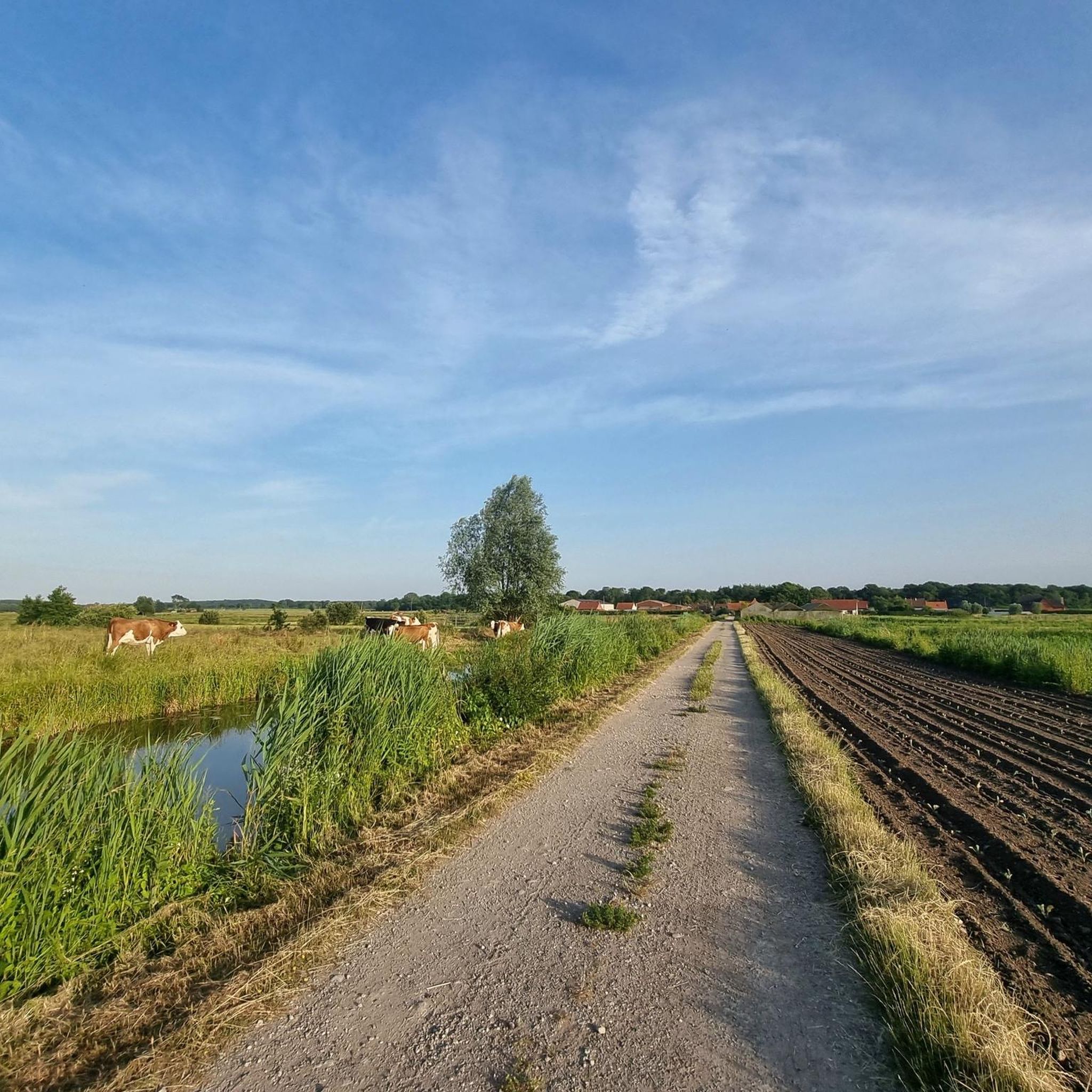
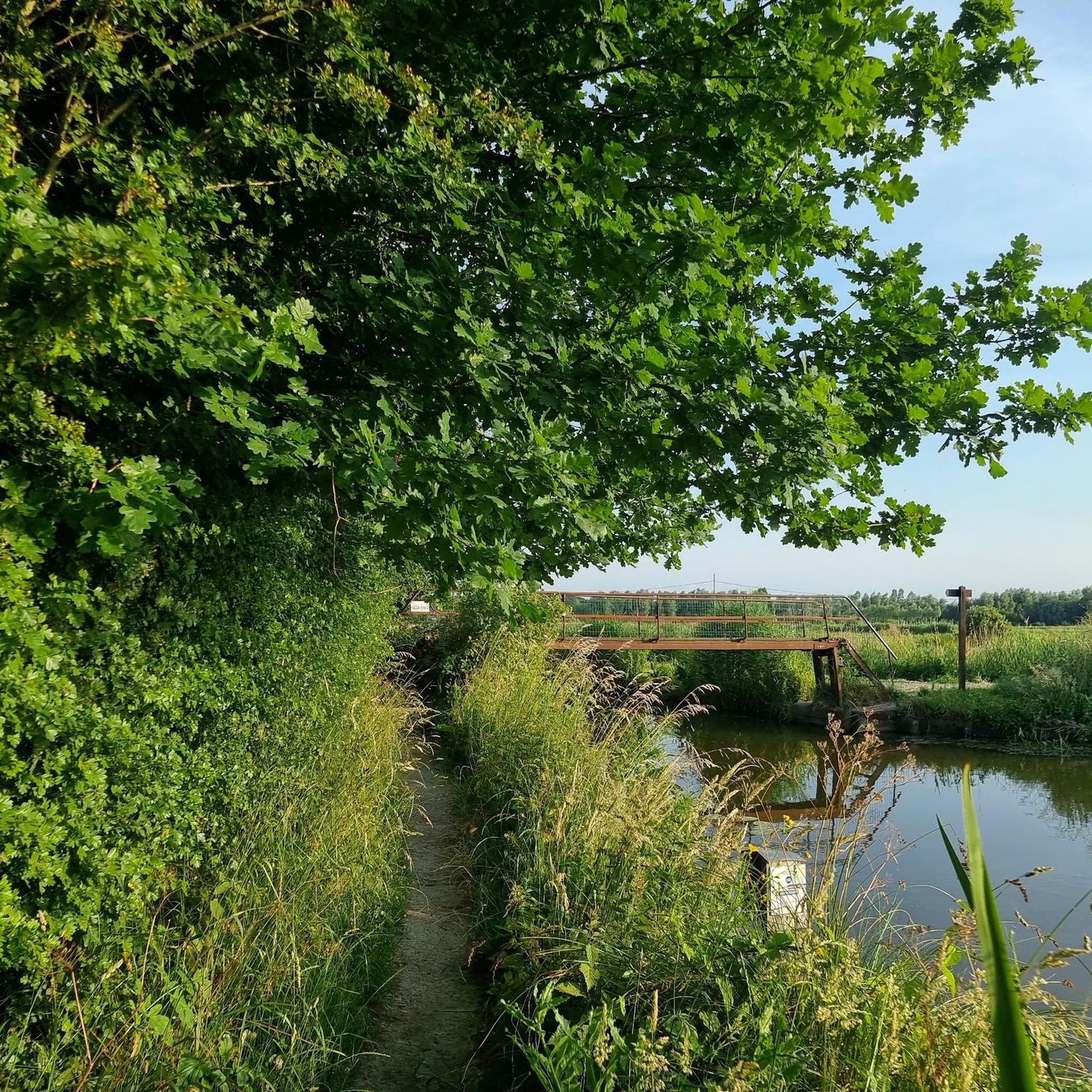
Road cycling routes around Lederzeele traverse a landscape characterized by flat agricultural plains and gentle, rolling hills. The region features a network of quiet country roads, often passing through small villages and open fields. Elevation gains are generally modest, with some routes incorporating short climbs up local "monts" or hills, providing varied terrain for road cyclists.
Best road cycling routes around Lederzeele
- The most popular road cycling route is Saint-Omer station – Saint-Omer Cathedral loop from Salperwick, an 18.0…
Last updated: October 10, 2026
1.0
(1)
18
riders
72.6km
03:00
360m
360m
Moderate road ride. Good fitness required. Mostly well-paved surfaces and easy to ride.
10
riders
30.2km
01:15
210m
210m
Easy road ride. Great for any fitness level. Mostly well-paved surfaces and easy to ride.

5.0
(1)
11
riders
29.2km
01:10
140m
140m
Easy road ride. Great for any fitness level. Mostly well-paved surfaces and easy to ride.
5.0
(1)
7
riders
40.5km
01:47
300m
300m
Moderate road ride. Great for any fitness level. Some segments of this route may be unpaved and difficult to ride.
9
riders
56.9km
02:47
660m
660m
Moderate road ride. Good fitness required. Some segments of this route may be unpaved and difficult to ride.
Get access to more routes and recommendations from other explorers.
Already have an account?
Our route recommendations are based on thousands of hikes, rides, and runs completed by other people on komoot.
Start today with a free account
Your next adventure awaits.

Tips from the Community


Lovely square. Lots of parking and safe for cyclists.
0
0

Beautiful village, surrounded by water and city walls
0
0

The Kasselberg (French: Mont Cassel) is a witness hill in the French Westhoek, in the French department of Noord. The hill is the highest in the Westhoek with 176 meters. The city of Kassel is located on top of the hill. The Kasselberg is part of the so-called central hill ridge in the West Flemish Hills, which also consists of the Watenberg, Wouwenberg, Katsberg, Boeschepeberg, Kokereelberg, Zwarteberg, Vidaigneberg, Baneberg, Rodeberg, Sulferberg, Goeberg, Scherpenberg, Monteberg, Kemmelberg and Letteberg. To the south of this hill ridge is the catchment area of the Leie, to the north of this hill ridge is the catchment area of the IJzer.
9
1
Frequently Asked Questions
How many road cycling routes are available around Lederzeele?
There are over 550 road cycling routes available around Lederzeele, catering to various skill levels. This includes nearly 90 easy routes, over 400 moderate routes, and more than 60 challenging options.
Are there road cycling routes suitable for beginners in Lederzeele?
Yes, Lederzeele offers nearly 90 easy road cycling routes. A great option for beginners is the Saint-Omer station – Saint-Omer Cathedral loop from Salperwick, an 18.0-mile (29.0 km) trail with minimal elevation gain, offering a gentle ride through the local countryside.
What are some challenging road cycling routes near Lederzeele?
For those seeking a challenge, Lederzeele features over 60 difficult routes. While the region is generally flat, some routes incorporate local 'monts' or hills. The Ascent Route d'Audruicq – Mont de Watten loop from Volckerinckhove, for example, covers 31.2 miles (50.3 km) with notable ascents, providing a more strenuous experience.
Are there long-distance road cycling routes in the Lederzeele area?
Yes, while many routes are moderate in length, you can find longer options by combining trails or choosing routes that extend further into the surrounding region. The Ascent Route d'Audruicq – Mont de Watten loop from Volckerinckhove is a good example of a longer route at over 31 miles (50 km).
What kind of terrain can I expect on road cycling routes around Lederzeele?
Road cycling routes around Lederzeele primarily traverse flat agricultural plains and gentle, rolling hills. You'll find a network of quiet country roads passing through small villages and open fields. While elevation gains are generally modest, some routes do include short climbs up local 'monts' for varied terrain.
Are there circular road cycling routes available?
Yes, many road cycling routes around Lederzeele are designed as loops, making them convenient for starting and ending at the same point. Examples include the Montée de Merckeghem – Mont de Watten loop from Volckerinckhove and the Montée de Merckeghem loop from Volckerinckhove.
What can I see along the road cycling routes around Lederzeele?
Along the routes, you can explore various natural and historical attractions. Consider visiting the Romelaëre Nature Reserve Circuit, the Saint-Omer Public Garden, or the Harchelle Lake. For historical interest, the Bomb Crater in Parc Naturel Régional des Caps et Marais d'Opale offers a unique sight.
Are there any interesting landmarks or points of interest near the cycling routes?
Absolutely. Notable landmarks include the Watten Hill, which offers panoramic views, and the historic Saint-Omer Cathedral. You might also pass by the impressive Boat Lift of Fontinettes, an engineering marvel.
What do other road cyclists enjoy most about road cycling in Lederzeele?
The area is highly rated by the komoot community, with an average score of 4.5 stars from over 80 reviews. Road cyclists often praise the quiet country roads, the charming small villages, and the varied terrain that includes both flat sections and gentle climbs up local 'monts'.
Is public transport available to access road cycling routes in Lederzeele?
While many routes are accessible by car, some routes, like the Saint-Omer station – Saint-Omer Cathedral loop from Salperwick, start near the Saint-Omer station, making them convenient for those arriving by train. It's advisable to check local public transport schedules for specific route access points.
Are there family-friendly road biking options around Lederzeele?
Yes, the region's numerous easy and moderate routes, characterized by flat agricultural lands and quiet country roads, are well-suited for family outings. Routes with minimal elevation gain and away from heavy traffic, such as the Saint-Omer station – Saint-Omer Cathedral loop from Salperwick, are ideal for families.
Most popular routes around Lederzeele
Most popular attractions around Lederzeele

Get inspired with the komoot mobile app


Explore more
Browse the best Road cycling routes in other regions.
