The best running trails around Royan
4.6
(68)
6,267
runners
60
runs
Jogging routes around Royan offer a diverse landscape along France's Atlantic coast. The region features extensive coastal paths and beaches, providing invigorating seaside runs. Inland, runners can explore vast forests like the Coubre Forest, which offers shaded routes through maritime pines. Additionally, tranquil marshes and estuaries, such as the Seudre estuary, present unique running experiences.
Best jogging routes around Royan
- The most popular jogging route is Vallières Point – The Grande Conche loop from Royan, a 9.4 miles (15.1…
Last updated: October 14, 2026
5.0
(6)
1,374
runners
16.1km
01:43
80m
80m
Hard run. Very good fitness required. Mostly paved surfaces. Suitable for all skill levels.
4.4
(9)
796
runners
10.3km
01:06
50m
50m
Moderate run. Good fitness required. Mostly paved surfaces. Suitable for all skill levels.

4.8
(6)
489
runners
13.9km
01:30
70m
70m
Moderate run. Good fitness required. Mostly paved surfaces. Suitable for all skill levels.
5.0
(2)
218
runners
4.21km
00:29
10m
10m
Easy run. Great for any fitness level. Mostly paved surfaces. Suitable for all skill levels.
4.6
(10)
536
runners
10.6km
01:06
60m
60m
Moderate run. Good fitness required. Mostly paved surfaces. Suitable for all skill levels.
Get access to more routes and recommendations from other explorers.
Already have an account?
Our route recommendations are based on thousands of hikes, rides, and runs completed by other people on komoot.



Tips from the Community

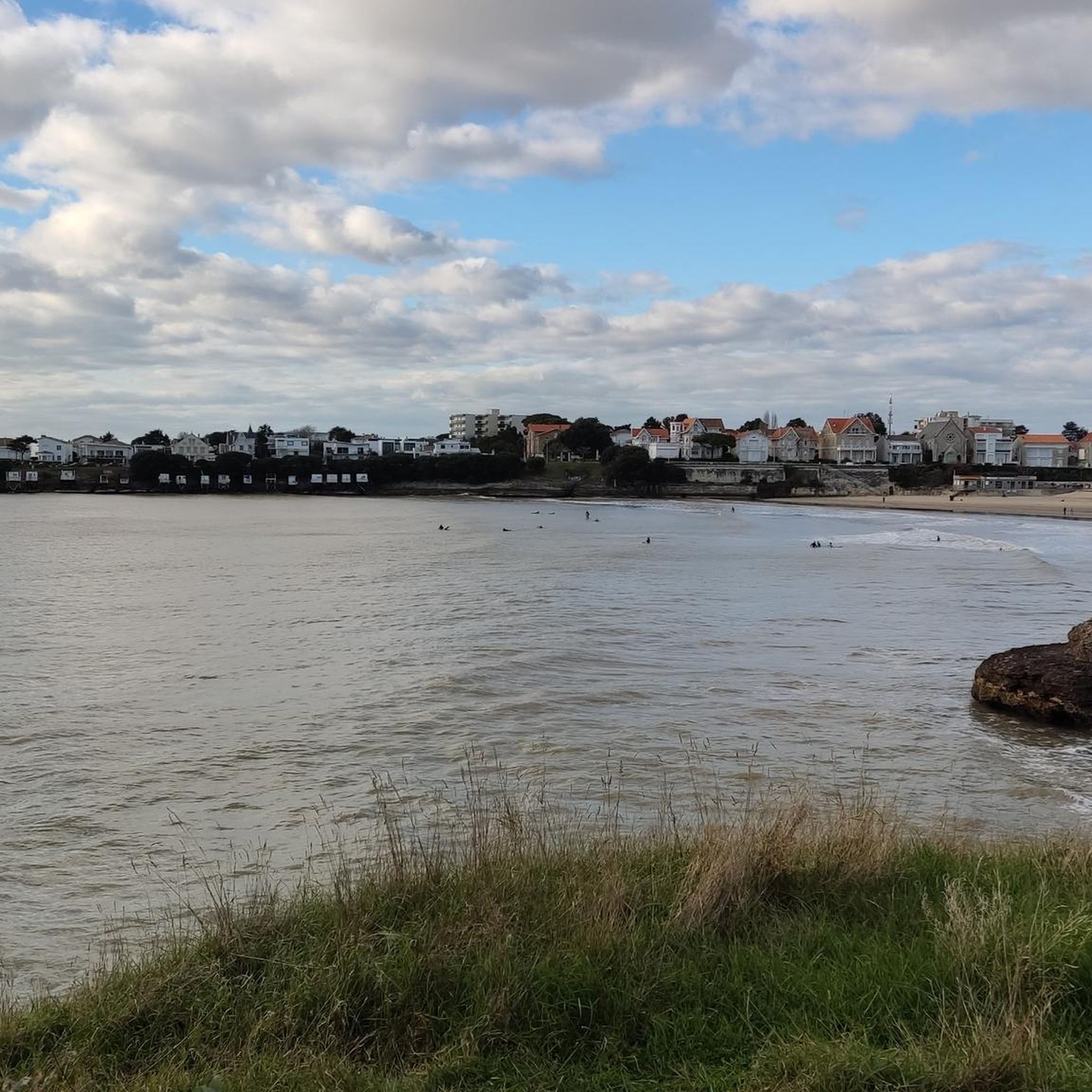
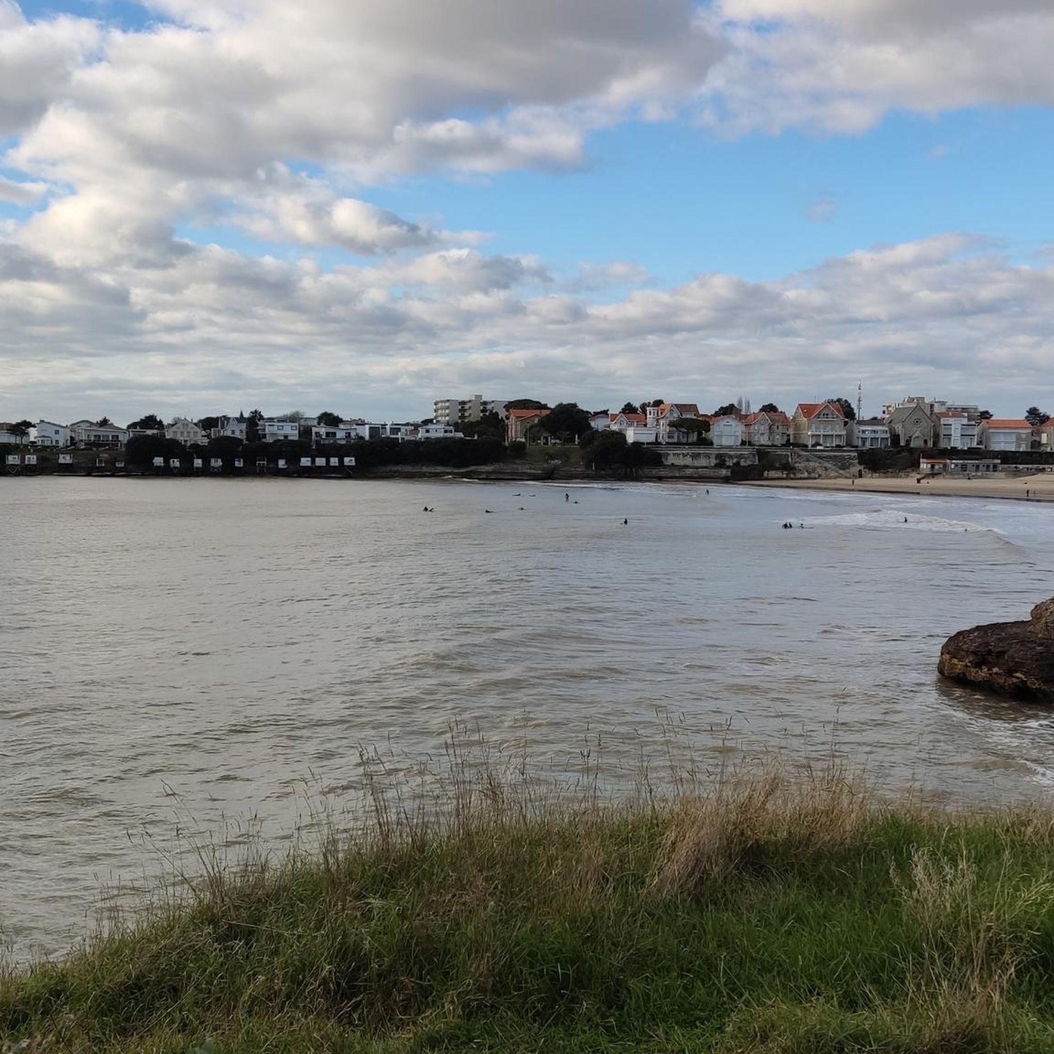
The carrelets are today part of the emblematic images of Royan and the Côte de Beauté. However, contrary to what the current landscape might suggest, the large pontoons with huts are relatively recent. A much older fishing The word carrelet originally designates the square net used for very simple fishing. Fishing with a carrelet has been attested in the region since at least the 18th century. At that time, these were not yet the elegant huts on stilts that we know today. The fisherman used a square frame with a net, which he lowered into the water and then quickly pulled up. This fishing was particularly practiced by women and could provide a dietary supplement. The turning point of 1900: the birth of the pontoons It was around 1900 that the carrelet began to change its nature. With the development of sea bathing and seaside tourism in Royan, fixed structures appeared on the quays, rocks, and cliffs. In Royan, they can be found in particular on the rocks of Pigeonnier and at Pontaillac. Initially, they were essentially simple masts equipped with a winch. The users were often merchants, liberal professions, retirees, or wealthy owners rather than professional fishermen. A particularly interesting old photograph shows the conche de Pontaillac in 1918, with fishing installations. The carrelets become leisure spots Between the two wars, and especially after 1945, the carrelets multiplied. The generalization of paid holidays, the increase in free time, and the development of popular holidays favored their transformation into real small holiday resorts. The installations gradually became more substantial: cliff → footbridge → pontoon → hut → mast and winch → square net Owners often built their own installations with wood or salvaged materials. In the 1950s, this practice experienced a real boom around Royan. Why are there so many carrelets around Royan? The relief of the Côte de Beauté is particularly well-suited for this. They can be found in particular: * in Royan, at the Pointe du Chay, at Pigeonnier and at Pontaillac; * in Vaux-sur-Mer, particularly towards the conche de Gilet; * in Saint-Palais-sur-Mer, along the headlands of Terre-Nègre and Perrières, towards the Pont du Diable and the Concié; * in Saint-Georges-de-Didonne, particularly towards Suzac; * in Meschers-sur-Gironde, along the cliffs and coves. The carrelet is indeed identified today as a viewpoint in Royan. The 1999 storm: a catastrophe The carrelets are extremely vulnerable to storms. The storms of 1996 and especially 1999 destroyed a very large part of the installations in Charente-Maritime. On the coasts of Aunis and Saintonge, nearly 90% of the approximately 700 carrelets had been destroyed during the January 2000 storm. They were then gradually rebuilt, with the help of owners and public schemes. Today: a heritage of Royan The carrelet is therefore not just a fishing equipment. It has become an element of the maritime and landscape heritage of Royan. The Musée du patrimoine du Pays Royannais classifies it as 20th-century maritime heritage and points out that the current installations are essentially the result of the development of this practice in the 20th century. An interesting historical point: the carrelets that we spontaneously associate with Royan today are therefore mainly the result of the evolution of seaside tourism after 1900 and their extraordinary development after 1945, and not the intact survival of a very old tradition of fishing huts.
0
0
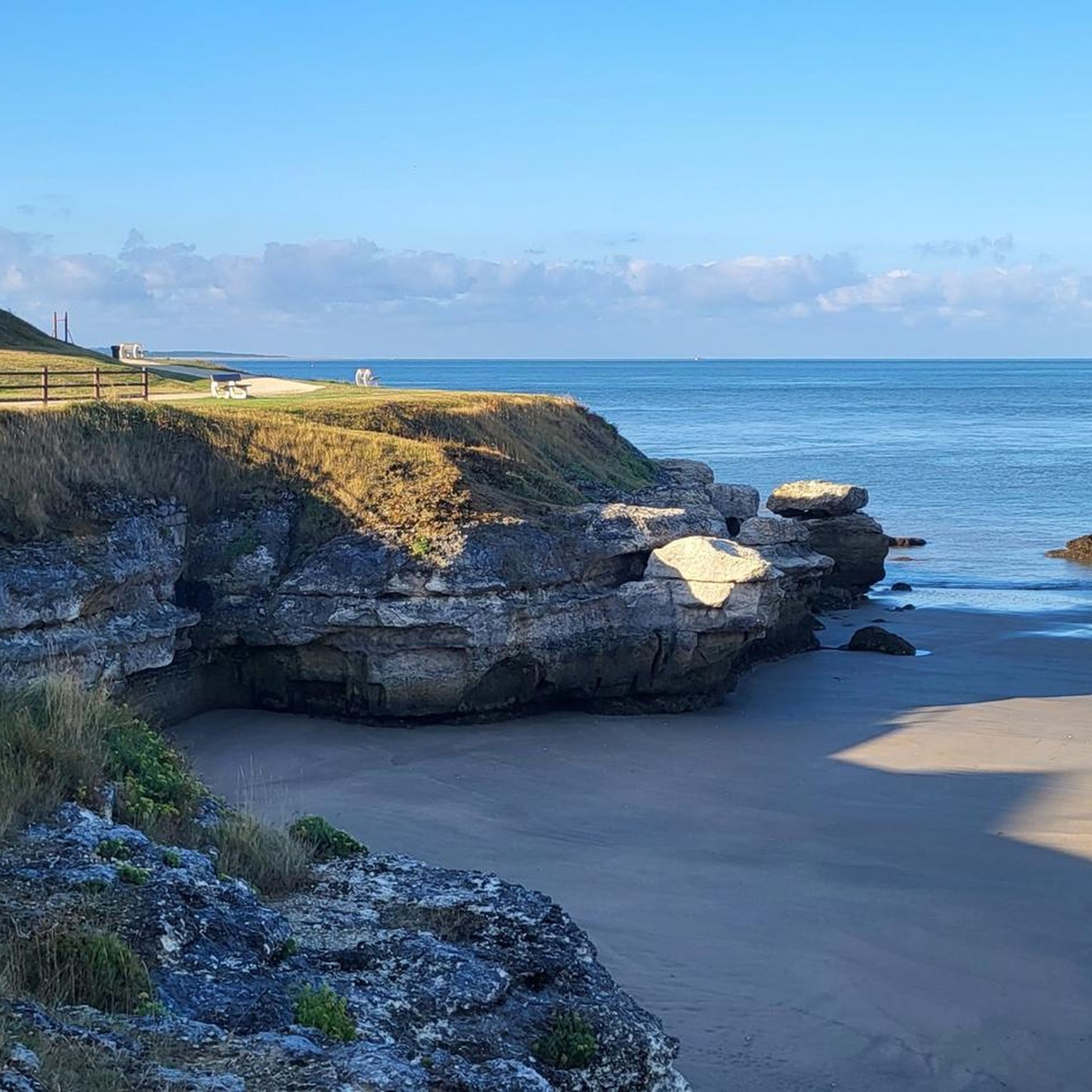
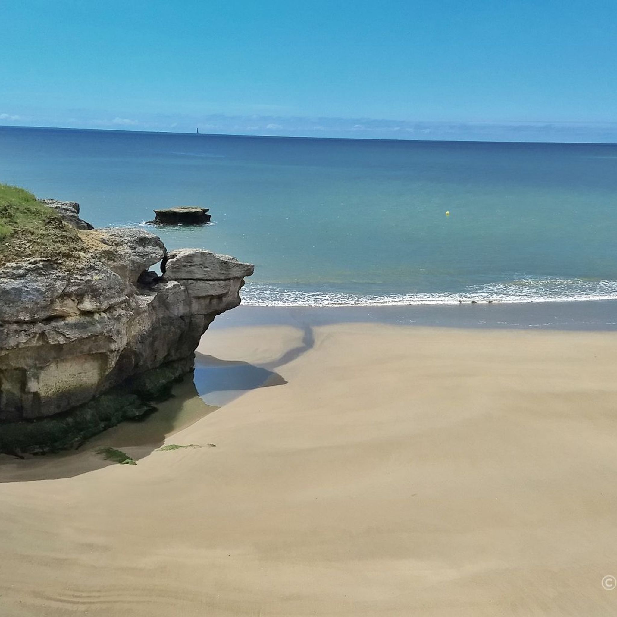
📍 Introducing the Gilet Cove The Gilet Cove is a small, natural beach on the oceanfront, located on Boulevard de la Conche de Gilet / Boulevard de la Falaise, in the town of Vaux-sur-Mer, just before Royan. 🌿 It's a sheltered, rocky cove, appreciated for its tranquility and more intimate setting compared to the larger urban beaches nearby. 🏖️ At high tide, the sea can completely cover this small beach, making the space very limited; at low tide, you can enjoy a patch of sand and rocks for relaxing or swimming. 🧭 Features & Tips 📍 Type of place: small, unsupervised beach, nestled among the rocks with sand and cliffs. 🏖️ Tides: access is best at low tide — at high tide the beach can disappear underwater. 🐶 Animals: prohibited from April 1st to September 30th (subject to municipal regulations). 👣 Access: via stairs from the boulevard above, surrounded by villas with sea views. 🚫 Lifeguard services: no lifeguard station or marked services. 📍 Location La Conche de Gilet is often considered the last small beach in Vaux-sur-Mer before reaching Royan/Pontaillac when following the coastline from Saint-Palais-sur-Mer.
0
0
🏖️ General Overview Chay Beach is a family-friendly, fine sandy beach located in Royan (Charente-Maritime), on the Côte d’Argent promenade between Pigeonnier Beach and Pointe du Chay. It stretches for approximately 200 meters and boasts a pleasant natural setting, with a cove bordered by rocks typical of the Charente coastline. 🏝️ Features • 🌊 Beach type: fine sand, sheltered cove. • 🏄♂️ Atmosphere: relatively calm and family-friendly, ideal for children and vacationers seeking relaxation away from the large urban beaches. • 🐾 Pets: prohibited from April 1st to September 30th. • 🫧 Water quality: excellent (Blue Flag label awarded for 2025). 🧭 Lifeguard and Safety • Swimming is supervised during the season (June to early September), with areas marked by red and yellow flags. • The area is classified as a Category 3 "Supervised Beach" and lifeguards are present during the indicated hours. 🪑 Amenities On-site, you can find: • 🏖️ Sun loungers, parasols, and mattresses for rent. • 🚿 Foot rinse and public restrooms. • 📶 Wi-Fi access, first aid station, and an area accessible to people with reduced mobility (assistance may be required depending on the slope). • 🍴 Beachfront restaurant ("Le Chay" bar-restaurant with sea views). 🚶♂️ Atmosphere and Activities • 🎈 Ideal for families and leisurely strolls. • 🌞 People come here for swimming, playing on the sand, flying kites, or simply relaxing by the ocean. • 🅿️ Parking is available nearby, and the beach is easily accessible on foot or by bike from Royan town center in just a few minutes. 🧭 Practical Tips • 📆 Best time to visit: summer for supervised swimming and full services, but also during the off-season for a more peaceful atmosphere. • ☀️ Arriving early in the morning makes parking easier during peak season. • 🐶 Dogs are not allowed during the summer season; check the signs on site during the off-season.
0
0
Located in the town center and close to the port, La Grande Conche stretches over 2,600 meters of fine sand. The supervised area, marked by colored flags, and totems to facilitate navigation, its amenities, and its calm waters make it an ideal beach for families. Nearby, the always lively seafront with its restaurants, ice cream parlors, cafes, and shops. Municipal decree 22-1388, prohibiting access to the town's beaches to animals, even on leashes, applies from April 1st to September 30th. Special signage is posted at each site indicating the mandatory health measures. Nudist activities are prohibited. From the structures in place to cleanliness (daily cleaning) and the quality of bathing water (regular sampling), Royan beaches receive great attention from municipal technical services and the Urban Community. Due to its urban setting and reasonable size, it's relatively easy to find your way around using the lifeguard station or a building as a landmark. Similarly, during the season, they set up information huts on both sides of the beach, tents (canvas beach huts) to provide tourists with some shade, totems to make it easier to find their way around, deckchairs/sun loungers, and a specially designed path (rigid plastic slabs that clip together). Rankings & Labels: Blue Flag Location Details: Footpath nearby. - Sandy beach - Cycle path/route within 500 m - Coastline - Public transport stop within 500 m On-site activities: Water sports - Beach / Swimming area -
0
0

The port of Royan is located between the Foncillon district and the Grande Conche beach, in the heart of the city. Ideally located at the mouth of the Gironde, in the immediate vicinity of the Atlantic Ocean and opposite Port-Médoc, it consists of a marina with a thousand rings and a fishing port, specializing in “noble” species (sole, meagre, sea bass, etc.). You will find the harbor master's office, the Fishing Port and the auction, as well as a covered shopping arcade, “Les voûtes du Port”, which extends the shopping arcades of the “Front de Mer”. Port, 1100 sheltered places – Reception pontoon – Secure pontoons. Access pass is 0.30 m above the zero of the nautical charts. Basins after dredging 2.30 m from the zero of the nautical charts. Services: water, electricity (220 V) on pontoon, toilets, WC, showers, handling in closed technical area, recovery of careening water, grey water and black water pumps, maintenance and ship repair workshops, ship chandlers on the port, wifi, 24/24 CB fuel, slipway. V.H.F. 9. The port is sheltered from all winds because it is protected by the landing stage of the ferries which ensure the crossing of the Gironde for the crossings to the Pointe de Grave/Le Verdon-sur-Mer.
1
0
Of the first star-shaped fort (1811), only a few things remain today. In 1859 its plan was redesigned with a solid ground facing the sea separated by a large ditch cutting the fort in two. The redoubt is cut off and allows the access bridge located to the north to be monitored. This redoubt has the particularity of having a specific plan. It only has a machicolation on three of its sides to the north (inland side) and on its two short sides (east and west). The tour of the solid ground is reinforced by a large masonry wall now. At the rear, the star-shaped device protects against attacks coming from the land. The site was affected by erosion and especially lost its relief after the Second World War. The battery line is still visible from the air and on the ground, only a few German and French bunkers are still outcropping. They are inaccessible. Transformed into a promenade, the site borders the coastal path that starts from the port of Royan and continues to the Grande Côte. Today, nearly 75% of the militarized surface of the late 19th century is occupied by residences and the Cordouan Thalazur hotel. The site still has some visible remains, mainly of French origin
0
0
The first fortification projects for Pointe du Chay date back to 1772, counterbalanced on the other bank by Fort du Verdon. But it was not until the battle of 1811 that the military authorities were convinced to fortify the point. However, in 1757, Marshal Senectere, Lord of Didonne, had a defensive element built a little further south of Fort du Chay. He had opened a strategic route to protect the mouth of the estuary. A fort comprising star-shaped bastions was built between 1811 and 1812. It was recaptured by the English in April 1814 and partly destroyed. It was not until the Second Empire that the fort was considerably improved. In addition to the rebuilt embankments, a redoubt derived from the crenellated towers of the 1846 type was built between 1859 and 1860. It served the battery. The battery was remodeled between 1875 and 1877 at the same time as that of the Fort de Suzac. This new battery included eight cannons that would not evolve again until the Second World War. They were divided into four 24cm cannons and four 27cm cannons. One of the vats is disproportionate and seems to indicate that it was planned to install a larger piece there. A fire control post was probably built after 1920, perhaps at the same time as the Arros battery around 1937. It does not appear on the aerial photos of 1920 and is located in front of the firing positions. According to some sources, the Fort du Chay was equipped around 1930 with 75 model 1897 cannons (to be confirmed). The Fort du Chay redoubt would have a hardly more favorable fate than the one near the Fort de Suzac. Integrated into the improvements made to the fort at the end of the 19th century and then at the beginning of the 20th century, this structure would remain until the fort was integrated into the Atlantic Wall around 1942. In 1920, the fort was partially disarmed since only seven of the eight cannons and a reduced garrison remained. At the end of the Second World War, the Fort du Chay redoubt, the oldest vestige of the fort, was literally cut in two by the bombings of 1944 to 1945. Although in 1946, the site remained as it was, it was the object of much covetousness from 1950. The site was largely razed between 1956 and 1957 to make way for a program of 120 housing units. In 1959, it was used temporarily by an equestrian center using a large part of the star-shaped glacis of 1811.
0
0
Frequently Asked Questions
How many running routes are available in Royan?
Royan offers a wide selection of running routes, with over 50 trails available for you to explore. These routes cater to various preferences, from easy jogs to more challenging runs.
Are there running routes for all skill levels in Royan?
Yes, Royan provides a diverse range of running routes suitable for all abilities. You'll find approximately 11 easy routes perfect for beginners or a relaxed run, over 40 moderate trails, and a few more challenging options for experienced runners looking to push their limits.
What kind of scenery can I expect on Royan's running trails?
Royan's running trails offer a beautiful mix of landscapes. You can enjoy invigorating seaside runs along extensive coastal paths and beaches like the Grande Conche, or explore tranquil marshes and estuaries. For those who prefer shade, the vast Coubre Forest provides refreshing routes through maritime pines and holm oaks.
Are there any specific attractions or landmarks I can see while running in Royan?
Many running routes in Royan pass by notable attractions. For instance, you might run past the beautiful Saint-Georges-de-Didonne Beach or Chay Beach. Some trails offer glimpses of the Cordouan lighthouse in the distance, or even the remains of the Atlantic Wall near the Pointe de Suzac. The region also features natural highlights like the Suzac Forest and unique caves such as Grottes de Matata.
Are there circular running routes available in Royan?
Yes, many of Royan's running routes are designed as loops, offering convenient circular options. For example, you could try the challenging Pontaillac – Nice view westwards loop from Royan, which is about 16 km, or the moderate The Carrelets of Royan – Conche de Nauzan loop from Royan, covering around 10.7 km.
What do other runners enjoy most about jogging in Royan?
The running experience in Royan is highly rated by the komoot community, with an average score of 4.4 stars from over 30 reviews. Runners often praise the diverse terrain, from invigorating coastal paths to peaceful forest trails, and the stunning views offered along the Atlantic coast.
Are there any urban running routes in Royan?
Absolutely. For those who enjoy an urban backdrop, there are easy routes that take you through towns. For instance, Saint-Georges-de-Didonne offers a circuit passing by the port, the Charles Martel promenade, and the Vallières lighthouse. Saint-Palais-sur-Mer also features a pleasant urban running route.
Can I find shaded running trails in Royan?
Yes, if you prefer running in the shade, the vast Coubre Forest is an excellent choice. This 'green lung' of the region offers numerous marked circuits, such as the Gardour trail, where you can enjoy the scent of pines and a refreshing change of scenery away from the coast.
Are there running routes that combine both urban and natural elements?
Many routes in Royan beautifully blend urban and natural environments. A great example is the moderate Port of Royan – Royan Promenade and Beach loop from Saint-Georges-de-Didonne, which combines urban promenades with scenic sandy beach sections, offering a varied and engaging run.
What is the terrain like on Royan's running trails?
Royan's running trails feature a varied terrain, providing different experiences for runners. You'll encounter a mix of surfaces, including paved paths along promenades, soft sand on the beaches, and dirt tracks within the forests and marshlands. This variety allows for diverse training and keeps runs interesting.
When is the best time of year to go running in Royan?
Royan's climate is generally conducive to outdoor activities. While running is enjoyable year-round, spring and autumn offer pleasant temperatures and fewer crowds. Summer provides warm weather perfect for coastal runs, and even winter can be mild enough for invigorating jogs, especially along the sheltered forest trails.
Are there any longer, more challenging running routes for experienced runners?
Yes, experienced runners will find routes that offer a good challenge. The Vallières Point – The Grande Conche loop from Royan is a difficult 15.1 km trail with some elevation, providing expansive coastal views and a rewarding workout. Another challenging option is the Pontaillac – Nice view westwards loop from Royan, which spans over 16 km.
Most popular attractions around Royan

Get inspired with the komoot mobile app


Explore more
Browse the best Running Trails & Routes in other regions.
