The best walks and hikes around Maringen-Silvingen
4.4
(517)
2,892
hikers
22
hikes
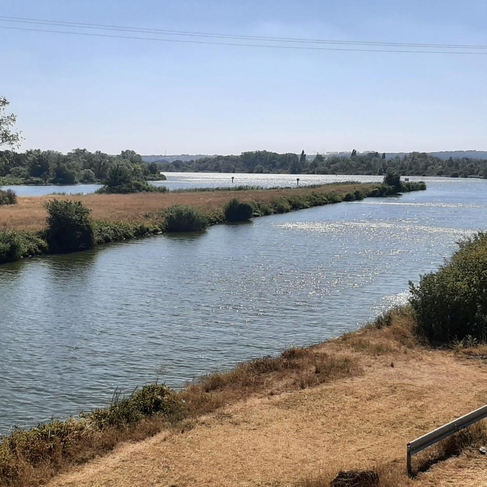
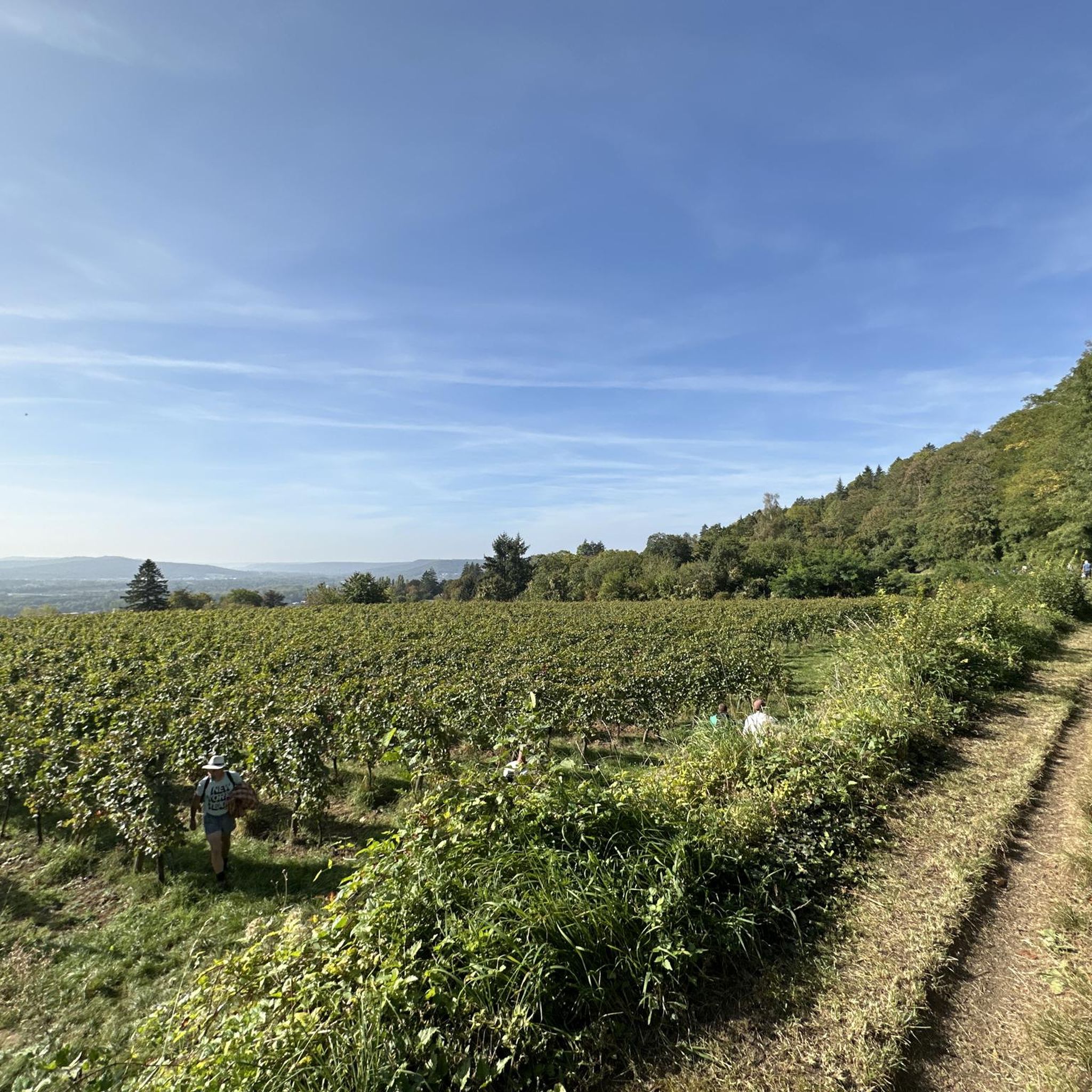
Hiking around Maringen-Silvingen features diverse landscapes, including a prominent river valley with vast forests and side valleys containing small streams. The terrain is characterized by vineyards on steep slopes, often with slate soil. This area provides a variety of natural settings for outdoor exploration.
Best hiking trails around Maringen-Silvingen
- The most popular hiking route is Water level loop from Marange-Silvange, a 7.2 miles (11.6 km) trail that takes 3 hours 26 minutes to complete. This moderate route offers views…
Last updated: June 25, 2026
3.0
(1)
25
hikers
10.3km
02:44
110m
110m
Moderate hike. Good fitness required. Easily-accessible paths. Suitable for all skill levels.
10
hikers
6.22km
01:40
70m
70m
Easy hike. Great for any fitness level. Easily-accessible paths. Suitable for all skill levels.

Sign up for free
4.8
(4)
8
hikers
10.8km
02:44
30m
30m
Moderate hike. Good fitness required. Easily-accessible paths. Suitable for all skill levels.
5.0
(2)
6
hikers
8.95km
02:38
250m
250m
Moderate hike. Good fitness required. Easily-accessible paths. Suitable for all skill levels.
4
hikers
12.9km
03:48
360m
360m
Moderate hike. Good fitness required. Easily-accessible paths. Suitable for all skill levels.
Get access to more routes and recommendations from other explorers.
Sign up for free
Already have an account?
Our route recommendations are based on thousands of hikes, rides, and runs completed by other people on komoot.
Start today with a free account
Your next adventure awaits.
Login or Signup


Tips from the Community


You're absolutely right – the tower in the picture is clearly made of metal, not wood. Thanks for pointing that out. Here's the corrected version: --- 🗼 Observation tower near Pierrevillers – A steel view Rising in the middle of the forest near Pierrevillers, a metal observation tower, with its open structure, offers a panoramic view of the Moselle Valley, the surrounding hills, and, on a clear day, even as far as Luxembourg. 🔩 The solid steel structure is accessible via several platforms and stairs and, despite its height, appears delicately embedded in the natural surroundings. **Tip:** Ideal in good weather – the view from the top is worth every climb and is perfect for a quiet moment or impressive photos.
1
1

Standing 25 metres high and at an altitude of 390 metres, the Drince Tower offers a view of the Metz urban area and its surroundings. In good weather, you can even see the Ardennes, Luxembourg and Belgium. A beautiful view to relax after the climb.
1
0


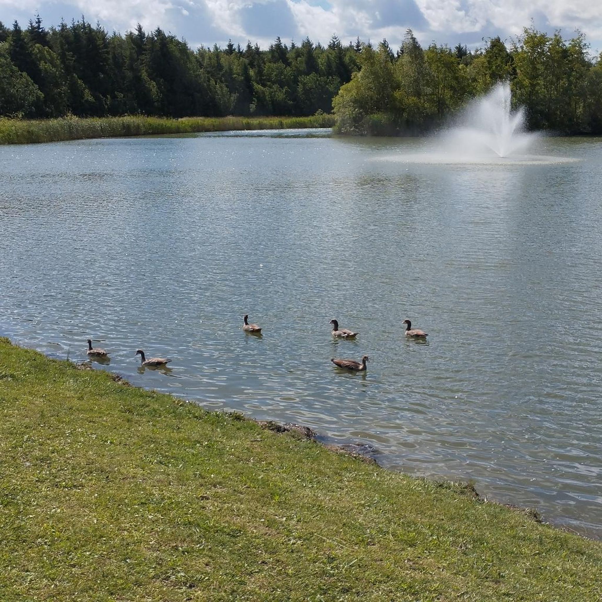
The Bois de Coulange lake is a 3-hectare lake surrounded by a forest area which offers various activities such as walking, cycling, picnicking and pedal boats. Access to the lake is only on foot or by bike, to ensure a peaceful atmosphere. You can also rent a Segway, a self-balancing electric vehicle, to explore the forest trails. The lake is open from April to September and has a small restaurant on site. The Bois de Coulange lake is an ideal place to enjoy nature.
3
0
This tower is essential, even in the race. Take a moment to do some interval training on the steps of the tower and reward yourself with taking in the views from the top of the tower.
4
0
A beautiful pond to explore with a trail to match.
3
0
The view from this tower is breathtaking.
6
0
Frequently Asked Questions
What types of hiking trails can I find around Maringen-Silvingen?
The Maringen-Silvingen area, deeply connected to the Mosel River region, offers a diverse range of hiking trails. You'll find paths winding through prominent river valleys, vast forests, and thrilling side valleys with small streams. The landscape is also characterized by picturesque vineyards on steep, slate-rich slopes. There are over 270 routes available, catering to various preferences and skill levels.
Are there any easy hiking trails suitable for beginners or casual walkers?
Yes, Maringen-Silvingen has plenty of easy trails. Over 100 routes are classified as easy, perfect for beginners or those seeking a relaxed stroll. An example is the Hiking loop from Marange-Silvange, which is 3.1 miles (5.1 km) long and offers a pleasant walk through the local countryside.
Can I find challenging hikes in the Maringen-Silvingen region?
While the region is known for its scenic beauty, it also offers more challenging options for experienced hikers. There are 16 difficult routes available, often featuring steeper ascents and longer distances, providing a rewarding experience with expansive views of the river valleys and vineyards.
Are there any circular hiking routes around Maringen-Silvingen?
Yes, many of the trails in the Maringen-Silvingen area are circular, allowing you to start and end at the same point. A popular moderate circular route is the Water level loop from Marange-Silvange, which is 7.2 miles (11.6 km) long and offers views of the local river landscape. Another option is the Polar bear – Clamp monkey loop from Silvange, an easy 3.0-mile (4.9 km) loop.
What natural features or landmarks can I expect to see on a hike?
The region is rich in natural beauty and historical landmarks. You'll encounter the stunning Mosel River landscape, extensive vineyards, and dense woodlands. While hiking, you might also come across points of interest such as the Charles le Téméraire cycle route, the Moyen Bridge, or even the impressive Saint-Étienne Cathedral in nearby Metz, which adds a cultural element to your outdoor exploration.
Are the hiking trails in Maringen-Silvingen suitable for families with children?
Many trails in the Maringen-Silvingen area are well-suited for families. The Mosel region, which this area is part of, is known for its family-friendly stages and circular trails, often with excellent markings and signposting. Look for the easy-rated routes, such as the Path between Norroy and Fèves – Norroy 1 walk loop from Semécourt, for a pleasant outing with children.
Can I bring my dog on the hiking trails?
Yes, the majority of hiking paths in the Maringen-Silvingen area and the broader Mosel region are dog-friendly. Your canine companion can join you on most stages and partner trails. However, it's always a good idea to check specific route details beforehand, as some paths might have minor obstacles like ladders that could require a short diversion for your dog.
What is the best time of year to go hiking in Maringen-Silvingen?
The Mosel region, including Maringen-Silvingen, is beautiful throughout much of the year. Spring and autumn are particularly popular, with pleasant temperatures and stunning scenery – spring brings blooming vineyards, while autumn offers vibrant fall foliage. Summer is also great, though it can be warmer. Winter hiking is possible, but some paths might be slippery or less accessible.
Are there places to eat or drink near the hiking trails?
Given the region's connection to the Mosel, you'll often find charming villages and towns along or near the trails. These typically offer cafes, restaurants, and traditional taverns where you can enjoy local cuisine and world-class Riesling wines. It's advisable to check the specific route you plan to take for amenities along the way or in nearby settlements.
What do other hikers say about the trails in Maringen-Silvingen?
The hiking trails around Maringen-Silvingen are highly regarded by the komoot community, boasting an average rating of 4.5 stars from over 500 reviews. More than 2,800 hikers have explored the varied terrain using komoot, often praising the scenic river landscapes, the well-maintained paths, and the diverse options for all skill levels.
Is parking available at the trailheads?
Parking is generally available near popular trailheads and in the villages and towns that serve as starting points for hikes in the Maringen-Silvingen area. While specific parking information for every single route isn't always detailed, you can usually find designated parking areas or street parking options. It's recommended to check local signage upon arrival.
Can I reach the hiking trails using public transport?
The Mosel region has a reasonably developed public transport network, including bus and train services that connect many of the towns and villages. This can make it possible to access various trailheads without a car. For specific routes, it's best to research local bus or train schedules to plan your journey to the starting point.
Most popular routes around Maringen-Silvingen
Most popular attractions around Maringen-Silvingen

Get inspired with the komoot mobile app


Explore more
Browse the best Hikes in other regions.
