The best walks and hikes around Anglars-Nozac
4.6
(313)
1,389
hikers
92
hikes
Hiking around Anglars-Nozac offers exploration within the Bouriane region of southwestern France. This area is characterized by sandy, hilly terrain and dense forests, predominantly featuring chestnut trees. Hikers can expect to traverse peaceful valleys and shaded paths, often encountering traditional stone hamlets. The landscape provides a blend of natural scenery and cultural heritage.
Best hiking trails around Anglars-Nozac
- The most popular hiking route is Fénelon Castle – Church of Sainte-Mondane loop from Le Millial, a 4.7 miles (7.5 km)…
Last updated: October 16, 2026
4.5
(15)
69
hikers
7.54km
02:10
180m
180m
Moderate hike. Good fitness required. Easily-accessible paths. Suitable for all skill levels.
4.4
(5)
27
hikers
9.54km
02:36
140m
140m
Moderate hike. Good fitness required. Easily-accessible paths. Suitable for all skill levels.

4.5
(4)
13
hikers
8.85km
02:28
160m
160m
Moderate hike. Good fitness required. Easily-accessible paths. Suitable for all skill levels.
4.8
(4)
11
hikers
9.16km
02:32
160m
160m
Moderate hike. Good fitness required. Easily-accessible paths. Suitable for all skill levels.
3.0
(3)
13
hikers
17.6km
04:48
260m
260m
Moderate hike. Good fitness required. Easily-accessible paths. Suitable for all skill levels.
Get access to more routes and recommendations from other explorers.
Already have an account?
Our route recommendations are based on thousands of hikes, rides, and runs completed by other people on komoot.
Start today with a free account
Your next adventure awaits.

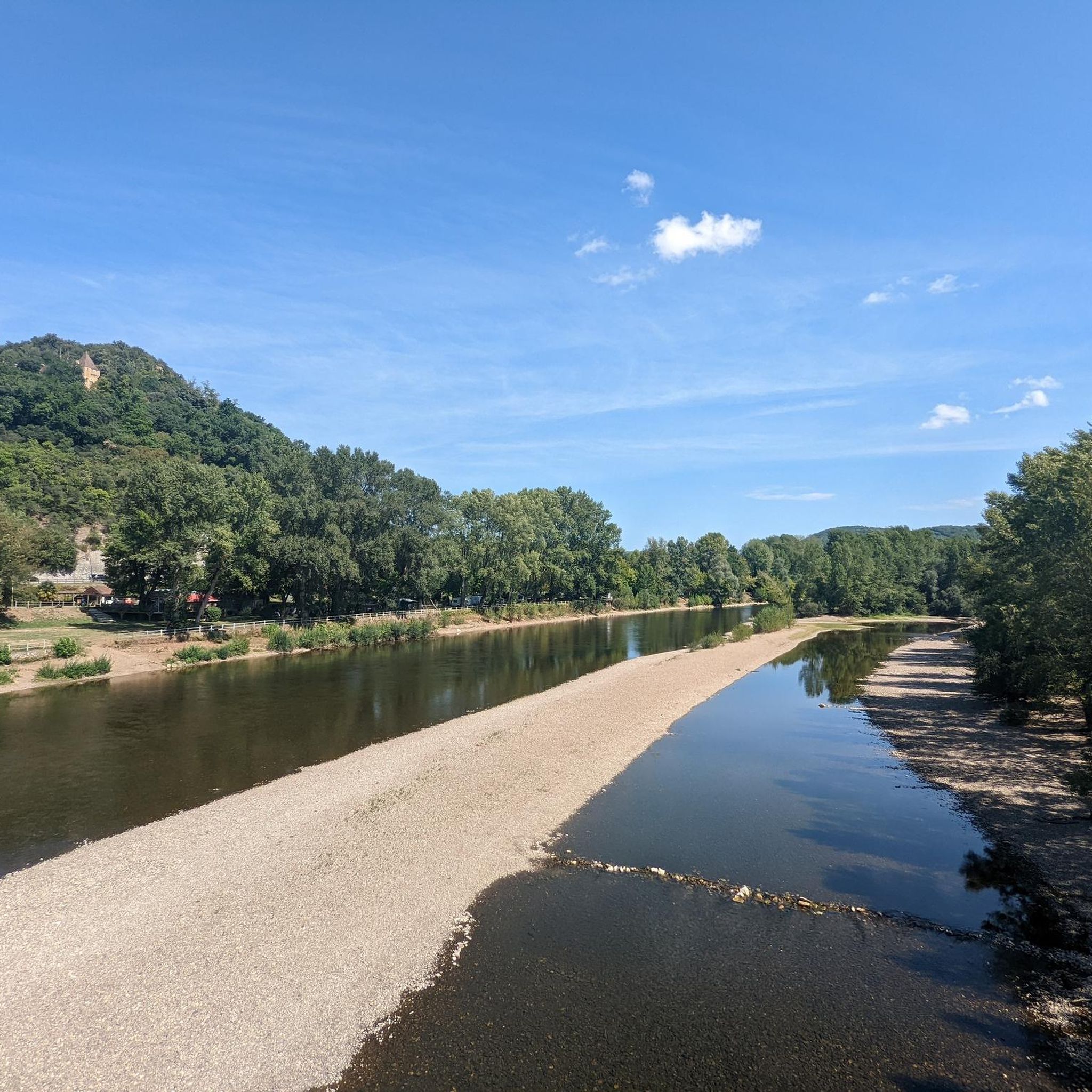
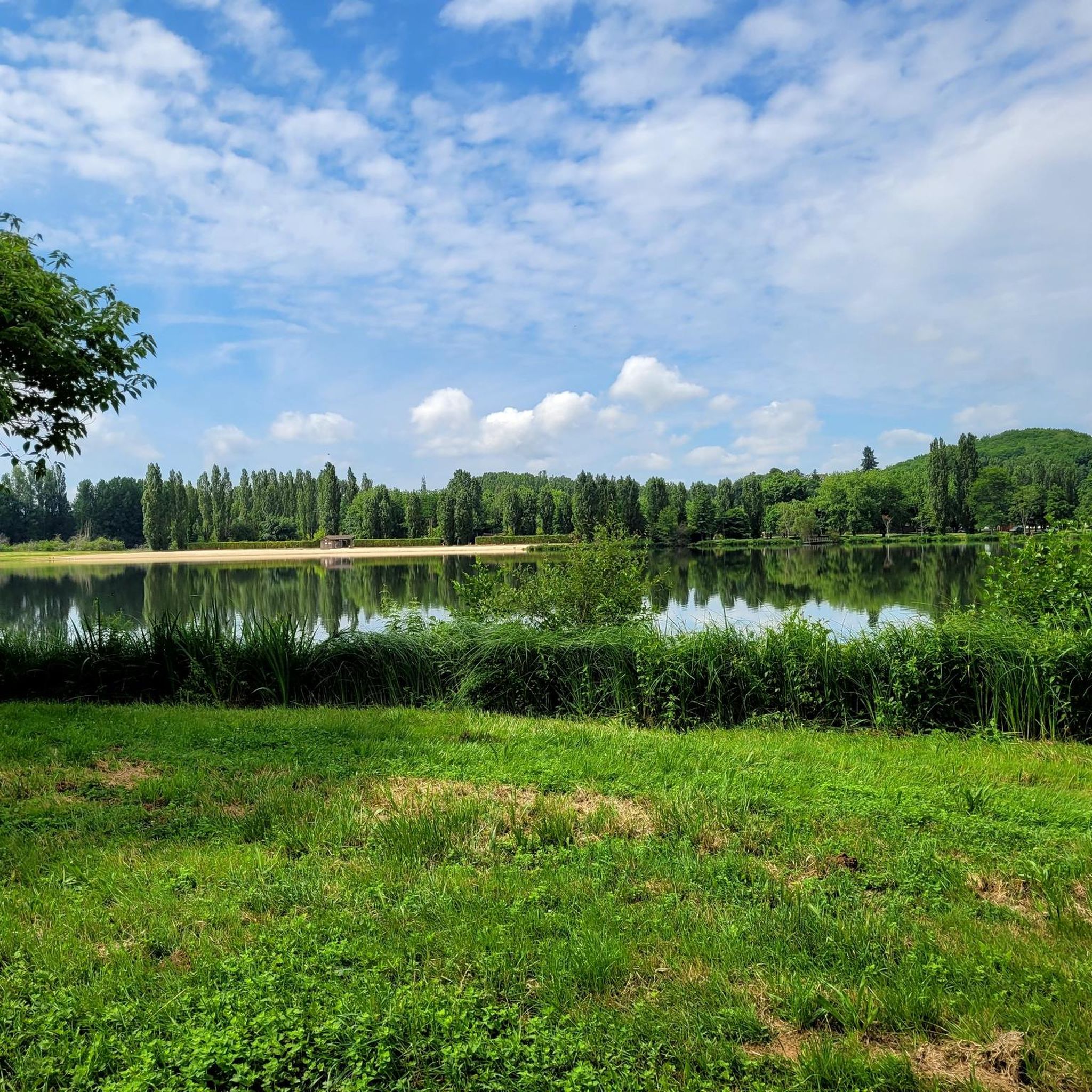


Tips from the Community


From this viewing platform you have magnificent views of the hilly surroundings in all directions.
1
0
The short climb to this plateau is truly worth it. From up here, you have a magnificent 360-degree view into the distance, including parts of Gourdon.
1
0


Perched on its hill, and overlooking the Dordogne river, the Château de Fénelon does not go unnoticed, the climb is worth the detour 😉.
0
0

Always a pleasant place for a quick shopping trip. https://maps.app.goo.gl/CGFnhTfySVTDeJCj6?g_st=ic
0
0
For us, it is the most beautiful cave in the region. You feel like you can get really close to it, it is not so crowded and not so touristy. Click here to book online https://www.pechmerle.com https://maps.app.goo.gl/CERX37P31eMHTg8W6?g_st=ic
1
0
Unfortunately, no viewing is possible on Tuesdays - it is closed.
0
0
Frequently Asked Questions
How many hiking trails are available around Anglars-Nozac?
There are over 80 hiking trails in and around Anglars-Nozac, offering a wide range of options for different skill levels. This includes 31 easy routes, 47 moderate routes, and 4 more challenging trails.
What kind of terrain can I expect on hikes in Anglars-Nozac?
The hiking trails around Anglars-Nozac are characterized by sandy, hilly terrain and dense forests, predominantly featuring chestnut trees. You'll find many peaceful valleys and shaded paths, making for comfortable walks. The region is part of the picturesque Bouriane, known for its undulating landscapes.
Are there any family-friendly hiking options in Anglars-Nozac?
Yes, there are several easy routes suitable for families. For instance, the Gourdon – Groléjac leisure lake loop from Gourdon is an easy trail that could be a good option. The wider Bouriane region also features areas like Le Frau in Lavercantière, which has a 2.5-kilometer trail with educational signs, making it suitable for families.
What are some interesting landmarks or attractions to see while hiking?
Many trails offer a blend of natural beauty and cultural heritage. You might encounter charming stone hamlets along your route. For specific landmarks, consider trails that pass by historical sites like Fénelon Castle, or explore the area around Gourdon. The Fénelon Castle – Church of Sainte-Mondane loop from Le Millial is a moderate route that offers views of historical landmarks.
What do other hikers enjoy most about the trails in Anglars-Nozac?
The trails in Anglars-Nozac are highly rated by the komoot community, with an average score of 4.6 stars from over 230 reviews. Hikers often praise the peaceful, shaded paths through dense chestnut forests and the opportunity to discover traditional stone hamlets, offering a blend of natural scenery and cultural heritage.
Are there any circular hiking routes available?
Yes, many of the trails around Anglars-Nozac are circular routes, allowing you to start and end at the same point. Examples include the Le Vigan loop from Le Vigan-en-Quercy, which leads through the characteristic hilly and forested landscape, and the Gourdon – Gourdon loop from Payrignac, which takes you through dense chestnut forests.
What is the best time of year to go hiking in Anglars-Nozac?
The region is particularly appealing for walks during spring and autumn. In these seasons, the chestnut forests are vibrant, and you might even find mushrooms like ceps and chanterelles. The shaded paths also provide comfortable conditions in any season, making it enjoyable even during warmer months.
Can I bring my dog on the hiking trails?
While specific regulations for dog-friendly trails can vary, the natural environment of the Bouriane region, with its extensive forests and open spaces, generally offers good opportunities for hiking with dogs. It's always advisable to keep dogs on a leash, especially in areas with wildlife or near agricultural land, and to check for any local signage.
Are there any trails that offer views of the Dordogne River?
While Anglars-Nozac itself is inland, the wider region offers opportunities to see the Dordogne. You can find highlights like the Greenway along the Dordogne in Roufillac or the Old stone bridge over the Dordogne River. Some trails might offer distant views or lead to points where you can access the river.
What kind of wildlife might I encounter on the trails?
The dense chestnut forests and peaceful valleys of the Bouriane region provide habitat for various wildlife. While not explicitly detailed for Anglars-Nozac, areas like Le Frau in Lavercantière are ecological reserves for local flora and fauna. Hikers might spot various bird species, small mammals, and insects typical of southwestern France's woodland environments.
Is there public transport available to reach hiking trailheads?
Information on specific public transport links directly to trailheads in Anglars-Nozac is limited. It is generally recommended to have private transportation to access the more remote starting points of hiking trails in this rural region of the Lot department. However, some larger towns nearby may have bus services.
Where can I find parking for hiking trails in Anglars-Nozac?
Parking availability varies by trailhead. For popular routes or those starting near villages, you can often find designated parking areas. For example, if starting a loop like the Route – English loop from Revers, look for parking within or on the outskirts of the nearest hamlet or village. It's advisable to check local maps or komoot tour details for specific parking suggestions.
Most popular routes around Anglars-Nozac
Most popular attractions around Anglars-Nozac

Get inspired with the komoot mobile app


Explore more
Browse the best Hikes in other regions.
