The best road cycling routes around Autoire
4.0
(73)
1,512
riders
230
rides
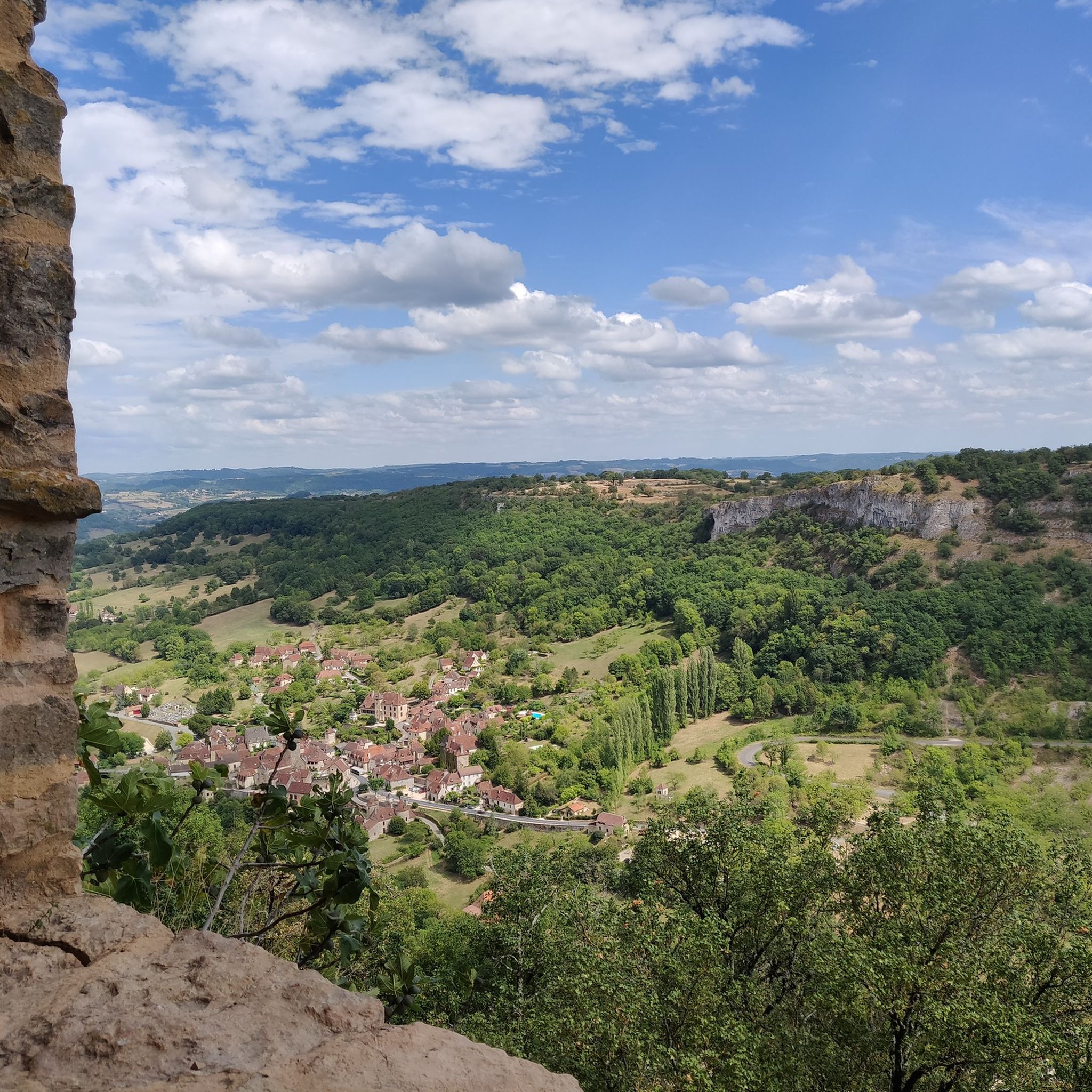
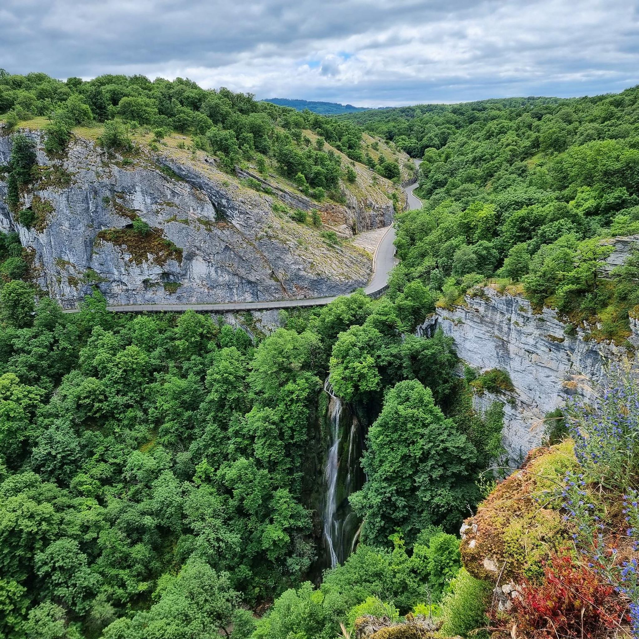
Road cycling routes around Autoire traverse a landscape defined by dramatic limestone cliffs, a horseshoe-shaped cirque, and verdant valleys. The region features a mix of challenging ascents and scenic descents through forested hills and along the Autoire River. Cyclists can experience panoramic views over the picturesque Dordogne Valley, offering diverse terrain for various skill levels.
Best road cycling routes around Autoire
- The most popular road cycling route is Autoire – View of Autoire loop from Loubressac, a 28.7 miles (46.2 km) trail that takes 2 hours 20 minutes to complete. This route offers views of Autoire's cirque from the village of Loubressac.
- Another top favourite among local road cyclists is Rocamadour – Great view over Rocamadour loop from Autoire, a moderate 29.7 miles (47.8 km) path. This route provides expansive views over the historic site of Rocamadour.
- Local road cyclists also love the Saint-Céré Town Center – View of Autoire loop from Autoire, a 42.5 miles (68.4 km) trail leading through forested hills and past charming villages, often completed in about 3 hours 16 minutes.
- Road cycling around Autoire is defined by limestone cliffs, forested hills, and the scenic Dordogne Valley. The network offers options for different ability levels, from moderate loops to more challenging climbs.
- The routes in Autoire are highly rated by the komoot community with an average score of 4.2 stars from more than 70 reviews. More than 1900 road cyclists have used komoot to explore Autoire's varied terrain.
Last updated: July 2, 2026
3.8
(12)
63
riders
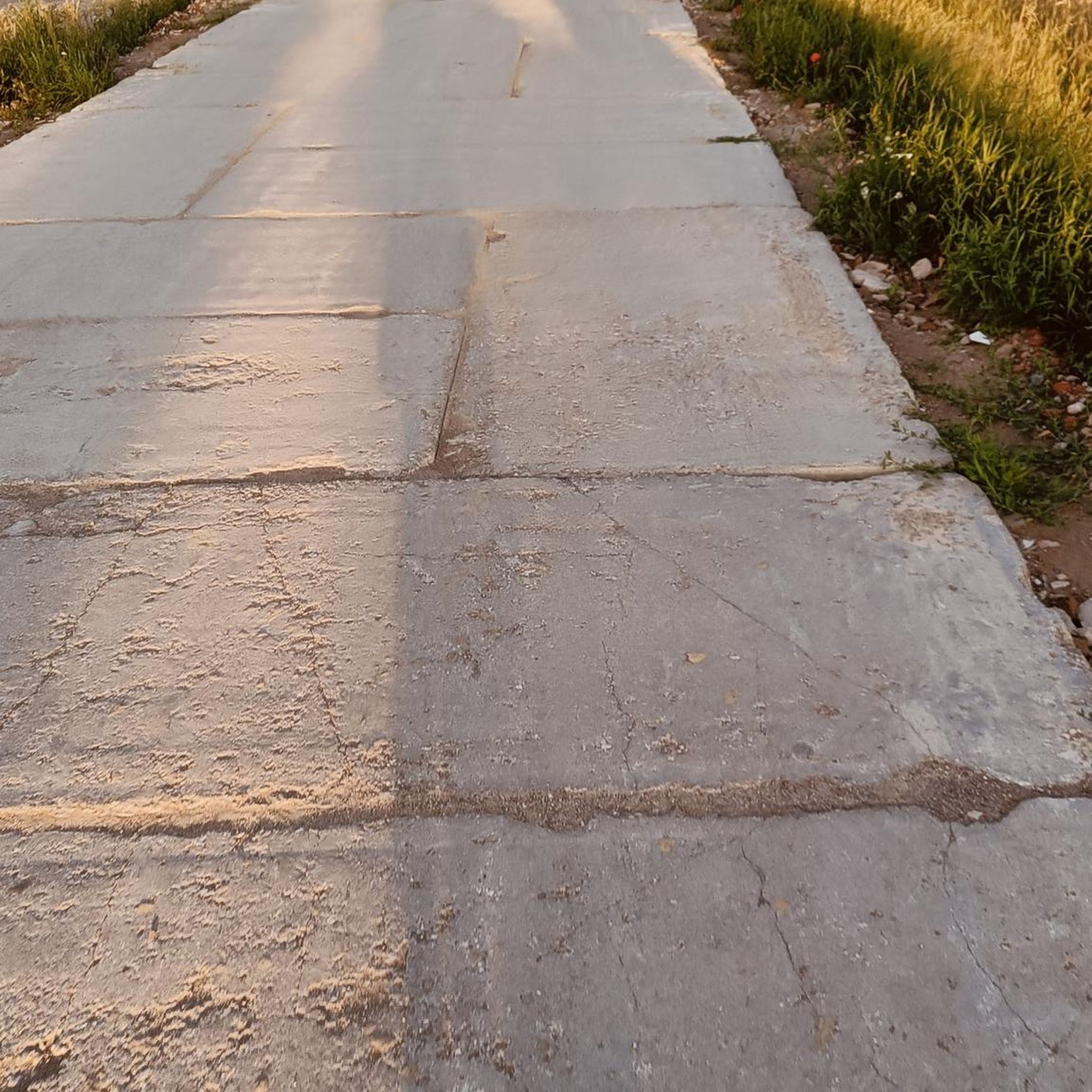
Moderate road ride. Good fitness required. Mostly well-paved surfaces and easy to ride.
26
riders
Moderate road ride. Good fitness required. Mostly well-paved surfaces and easy to ride.

Sign up for free
4.0
(1)
22
riders
46.1km
02:20
760m
760m
Moderate road ride. Good fitness required. Mostly well-paved surfaces and easy to ride.
5.0
(2)
18
riders
55.4km
02:44
710m
710m
Moderate road ride. Good fitness required. Some segments of this route may be unpaved and difficult to ride.
22
riders
47.8km
02:22
690m
690m
Moderate road ride. Good fitness required. Mostly well-paved surfaces and easy to ride.
Get access to more routes and recommendations from other explorers.
Sign up for free
Already have an account?
Our route recommendations are based on thousands of hikes, rides, and runs completed by other people on komoot.
Start today with a free account
Your next adventure awaits.
Login or Signup

Tips from the Community


A beautiful castle in this small village - simply magnificent and enchanting with its architectural style.
1
0
The small village has a very special charm.
1
0

beautiful especially at night with the light everywhere
0
0

Bretenoux is a fortified town in the Haut-Quercy region, recognizable by its checkerboard layout and large central square lined with arcades. Located at the confluence of the Cère and Dordogne rivers, it has been a busy trading center since the Middle Ages. Today, its lively streets and well-preserved heritage make it a pleasant stopover between Rocamadour and the valley's castles.
0
0

Beautiful view of the castle and the countryside.
0
0
Beautiful little castle, beautiful church and a restaurant right next door.
1
0
A place worth seeing in a very beautiful landscape. Bar and fountain for refreshment.
0
0
Frequently Asked Questions
How many road cycling routes are available around Autoire?
There are over 200 road cycling routes around Autoire, offering a wide range of options for different skill levels. You'll find routes varying from easy to difficult, traversing the region's diverse landscapes.
What kind of terrain can I expect on road cycling routes in Autoire?
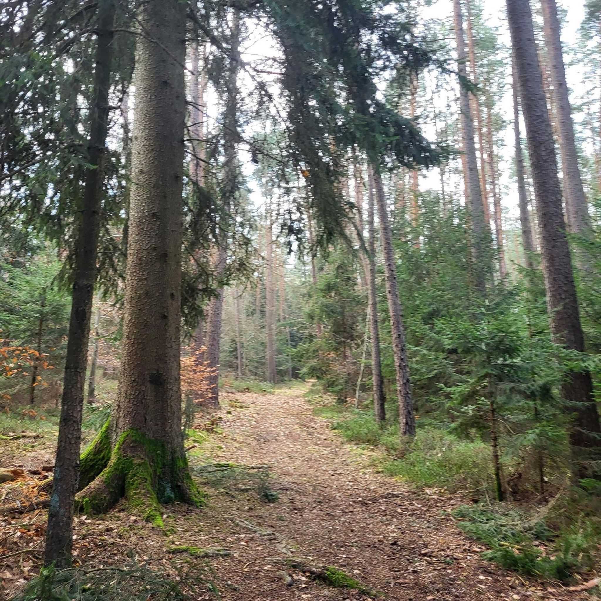
Road cycling in Autoire features varied terrain, from challenging ascents and scenic descents through forested hills to routes along the Autoire River. The region is characterized by dramatic limestone cliffs and a horseshoe-shaped cirque, providing both stunning views and engaging climbs.
Are there any family-friendly road cycling routes in Autoire?
Yes, Autoire offers several routes suitable for families. While the region has varied terrain, there are 26 routes classified as easy, which typically feature less elevation gain and shorter distances, making them more accessible for family outings.
What are some notable natural features or landmarks I can see while cycling in Autoire?
Cyclists can enjoy several natural and historical landmarks. The dramatic Autoire Waterfall, cascading over 150-meter cliffs, is a prominent natural spectacle. You can also cycle through Autoire itself, recognized as one of France's 'Most Beautiful Villages,' or enjoy panoramic views over the picturesque Dordogne Valley.
Are there any circular road cycling routes around Autoire?
Yes, many routes in Autoire are designed as loops, allowing you to start and end in the same location. For example, the Autoire – View of Autoire loop from Loubressac is a popular moderate route offering views of the cirque from Loubressac.
What do other road cyclists enjoy most about cycling in Autoire?
The area is highly rated by the komoot community, with an average score of 4.2 stars from over 70 reviews. Cyclists often praise the combination of challenging climbs, scenic descents, and the picturesque village backdrops, as well as the diverse terrain and stunning views over the Dordogne Valley.
Can I find routes that offer views of other famous sites near Autoire?
Absolutely. Some routes provide expansive views of iconic nearby locations. For instance, the Rocamadour – Great view over Rocamadour loop from Autoire offers stunning vistas over the historic site of Rocamadour.
Are there any challenging road cycling routes for experienced riders?
Yes, Autoire offers 59 routes classified as difficult, catering to experienced riders seeking a challenge. These routes often feature significant elevation gain and longer distances, such as the Castelnau-Bretenoux Castle – Espédaillac loop from Autoire, which covers over 100 km with substantial climbing.
What is the best time of year for road cycling in Autoire?
The region's climate makes spring and autumn particularly pleasant for road cycling, with milder temperatures and beautiful scenery. Summer can also be enjoyable, especially on routes that pass through forested areas offering shade.
Are there any routes that pass through other charming villages?
Many routes in the Autoire area connect to or pass through other beautiful villages. For example, the Saint-Céré Town Center – View of Autoire loop from Autoire leads through forested hills and past several charming villages, including Loubressac Village and the Historic Village of Carennac.
Are there any routes that include historical castles or ruins?
Yes, the area is rich in history. You can find routes that incorporate historical sites like the ruins of Taillerfer ruins or offer views of grand structures such as the View of the Castelnau-de-Bretenoux castle. The Path to the Château des Anglais and View of Autoire also provides a dramatic historical point of interest.
What are the typical distances and elevation gains for road cycling routes in Autoire?
Routes vary significantly. Easy routes might be shorter with minimal elevation, while moderate routes often range from 40-70 km with 600-900 meters of elevation gain, like the Thémines – Gramat loop from Autoire. Difficult routes can exceed 100 km with over 1000 meters of climbing.
Most popular attractions around Autoire

Get inspired with the komoot mobile app


Explore more
Browse the best Road cycling routes in other regions.
