The best running trails around Montois-La-Montagne
4.5
(135)
5,981
runners
279
runs
Jogging routes around Montois-La-Montagne traverse a varied landscape characterized by hilly terrain and extensive wooded areas. Elevations in the commune range from 174 to 330 meters, providing diverse running experiences from gentle paths to more challenging inclines. The region features numerous forest trails and "Côtes" (hills), offering runners a mix of natural surfaces and elevation changes.
Best jogging routes around Montois-La-Montagne
- The most popular jogging route is Climb to Tivoli – Orne River loop from Jœuf, a 32.6 miles…
Last updated: July 10, 2026
75
runners
9.82km
01:01
20m
20m
Moderate run. Good fitness required. Mostly paved surfaces. Suitable for all skill levels.
18
runners
13.7km
01:27
60m
60m
Moderate run. Good fitness required. Mostly paved surfaces. Suitable for all skill levels.

Sign up for free
11
runners
18.8km
02:01
210m
210m
Hard run. Very good fitness required. Mostly paved surfaces. Suitable for all skill levels.
6
runners
7.77km
00:49
50m
50m
Moderate run. Good fitness required. Mostly paved surfaces. Suitable for all skill levels.
9
runners
20.0km
02:21
160m
160m
Hard run. Very good fitness required. Mostly paved surfaces. Suitable for all skill levels.
Get access to more routes and recommendations from other explorers.
Sign up for free
Already have an account?
Our route recommendations are based on thousands of hikes, rides, and runs completed by other people on komoot.
Start today with a free account
Your next adventure awaits.
Login or Signup


Tips from the Community


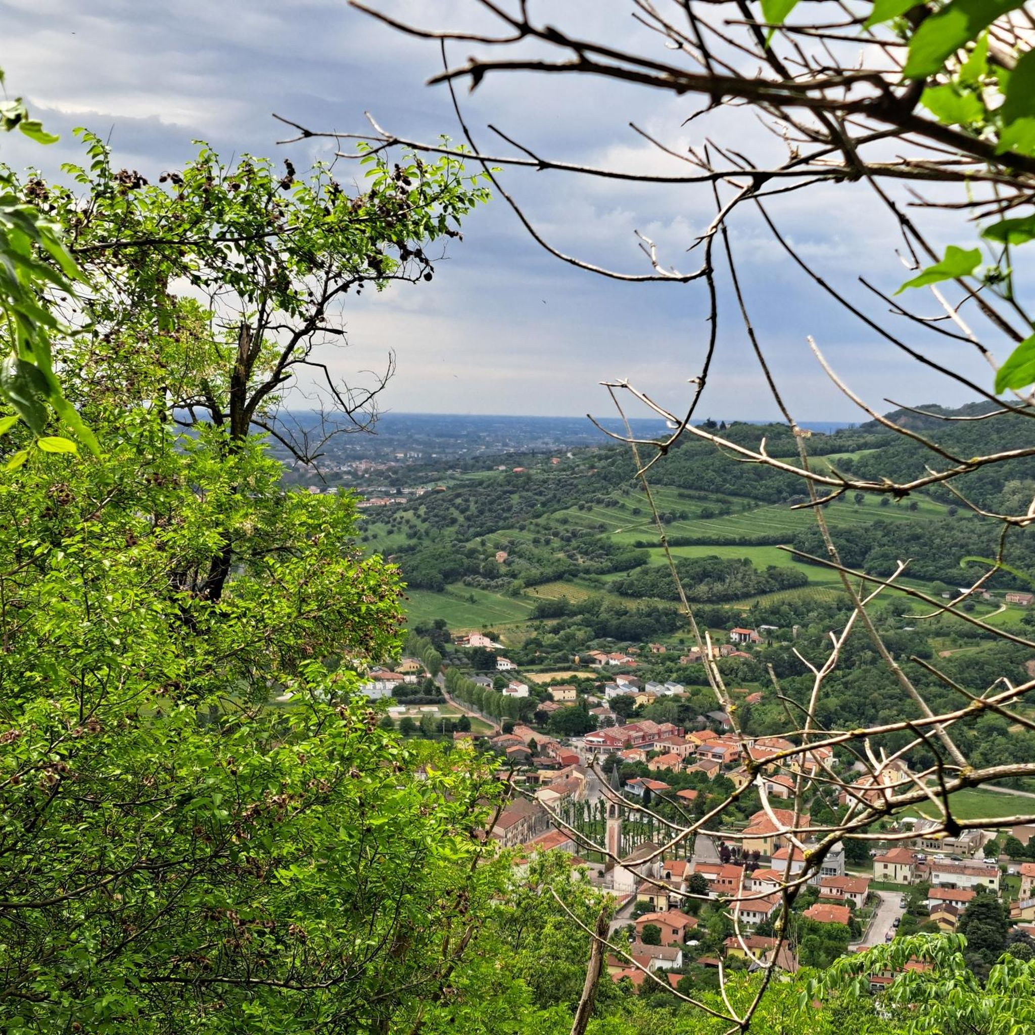
🌾 **Étang du Tivoli – Nature Break near Volmerange-les-Mines (Wallingen)** The **Étang du Tivoli** is quietly located on the edge of **Volmerange-les-Mines** (German: **Wallingen**) – a small, natural pond surrounded by meadows, field paths, and sparsely scattered trees. 🐦 The spot is a popular stopover for walkers and cyclists, often visited by herons, ducks, and other waterfowl. A small bench invites you to rest with a view over the water. **Tip:** Ideal for a quiet break on a tour through the Lorraine border region – especially beautiful at sunrise or late evening light.
0
0

A tiny but perfectly formed pond. It is a pleasure to visit it and to walk there.
4
0
Frequently Asked Questions
How many running routes are available around Montois-La-Montagne?
There are over 250 running routes in and around Montois-La-Montagne, offering a wide variety of options for all skill levels. These include 19 easy routes, 176 moderate routes, and 59 difficult routes, ensuring there's a path for every runner.
What kind of terrain can I expect on the jogging routes in Montois-La-Montagne?
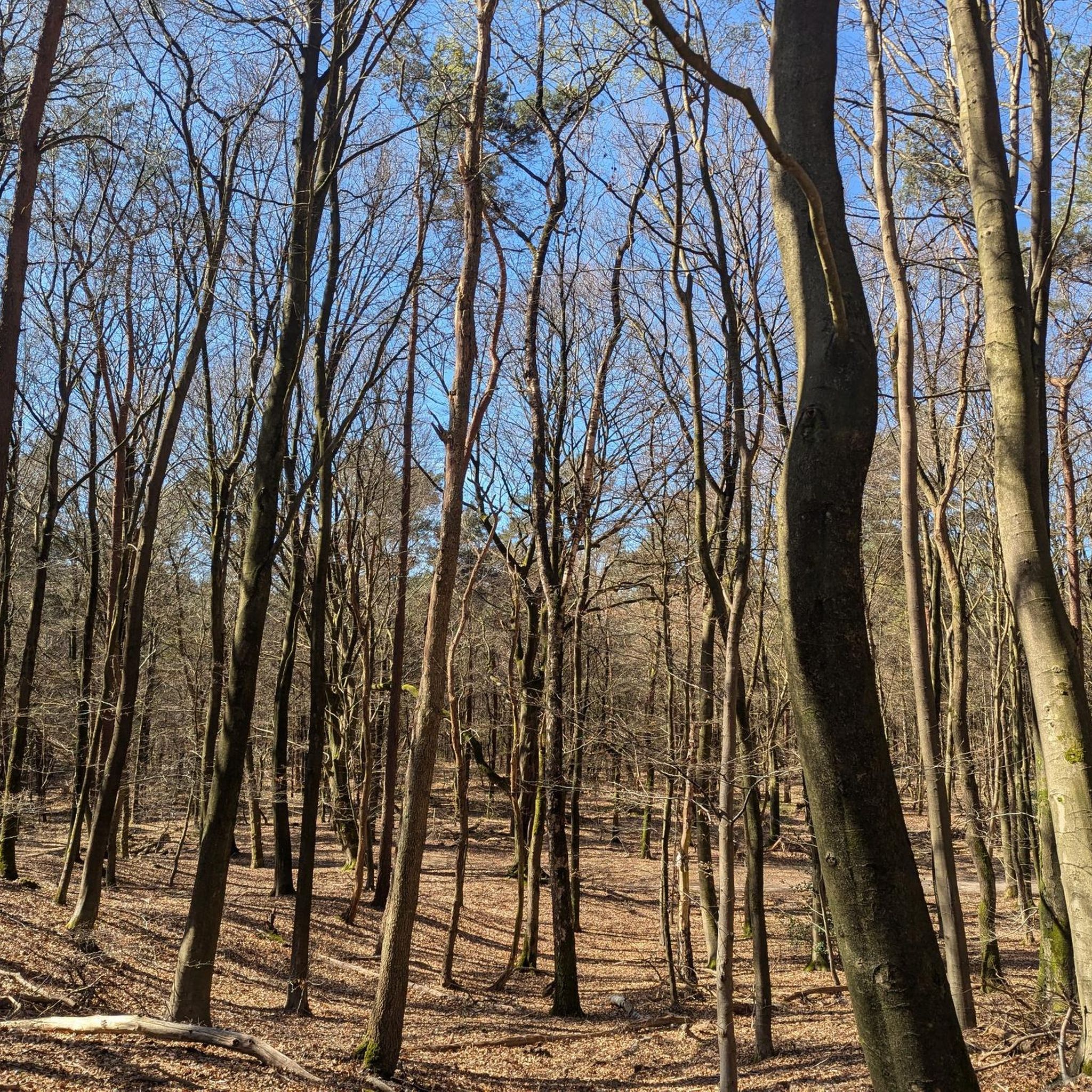
The jogging routes in Montois-La-Montagne feature a varied landscape, primarily characterized by hilly terrain and extensive wooded areas. You'll encounter beaten earth paths through lush forests, as well as ascents on 'Côtes' like the Côte de Drince, providing both gentle stretches and more challenging inclines.
Are there any long-distance running trails in the area?
Yes, for those seeking a significant challenge, Montois-La-Montagne offers longer routes. One notable option is the Climb to Tivoli – Orne River loop from Jœuf, which spans 32.6 miles (52.4 km) and features substantial elevation gain, making it a demanding but rewarding run.
What do other runners say about the trails in Montois-La-Montagne?
The running routes in Montois-La-Montagne are highly rated by the komoot community, with an average score of 4.3 stars from over 90 reviews. Runners often praise the diverse terrain, the scenic wooded areas, and the opportunities for varied workouts, from leisurely jogs to challenging climbs.
Are there any family-friendly jogging routes in Montois-La-Montagne?
While specific family-friendly routes aren't detailed, the region offers paths with little elevation change and accessible trails, such as those leading to the Tour de Drince. The numerous parks and green spaces also provide pleasant, less strenuous options suitable for families.
Can I find circular running routes in Montois-La-Montagne?
Absolutely. Many of the routes are designed as loops, allowing you to start and finish at the same point. An example is the Forest Trail – Muddy Path in the Forest loop from Moyeuvre-Grande, a moderate 9.1-mile path through dense forest.
Are there any scenic viewpoints or natural landmarks along the running trails?
Yes, the region offers beautiful natural features and viewpoints. The Plan d'Eau de la Sangsue, Tivoli Pond, and Coulange Wood Lake provide picturesque water features. Additionally, the Tour de Drince, located on the Côte de Drince, offers spectacular views of the Moselle basin, making it a rewarding destination during a run.
What is the best time of year to go jogging in Montois-La-Montagne?
Montois-La-Montagne is enjoyable for jogging throughout much of the year. The wooded areas offer shade in warmer months, and the 'plan d'eau du bois de Coulange' is open from April to September, enhancing the natural experience. Spring and autumn provide pleasant temperatures and beautiful foliage, while winter runs can be scenic, though trail conditions may vary.
Are there any running routes that pass by water features?
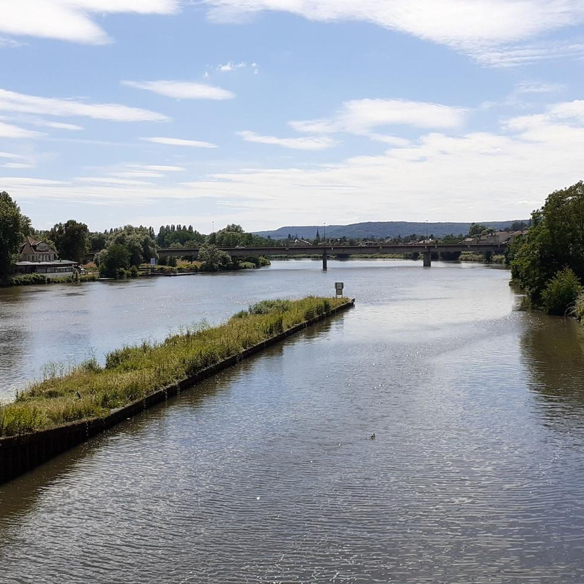
Yes, several routes offer views of water features. The Climb to Tivoli – Orne River loop from Moyeuvre-Grande, for instance, incorporates the Orne River. Additionally, the Plan d'Eau de la Sangsue, Tivoli Pond, and Coulange Wood Lake are notable water bodies that can be incorporated into or viewed from various running paths.
Is there public transport access to the running trails in Montois-La-Montagne?
While specific public transport details for trailheads are not provided, Montois-La-Montagne is a commune within the Moselle department, suggesting local bus services may connect to nearby towns. For precise information on reaching specific trail starting points, it's advisable to check local public transport schedules.
Are the running trails in Montois-La-Montagne suitable for dogs?
The region's extensive wooded areas and natural trails generally welcome dogs, especially on leash. However, it's always recommended to check local regulations or signage at specific trailheads regarding dog access to ensure a pleasant experience for everyone.
Where can I find parking for the running routes?
While specific parking locations for each trailhead are not detailed, many outdoor areas in France, especially near parks and natural attractions, typically offer designated parking. For routes starting from towns like Jœuf or Moyeuvre-Grande, public parking facilities within the towns would likely be available.
Most popular routes around Montois-La-Montagne
Most popular attractions around Montois-La-Montagne

Get inspired with the komoot mobile app


Explore more
Browse the best Running Trails & Routes in other regions.
