The best cycling routes around Mörchingen
4.6
(18)
146
riders
41
rides
Touring cycling routes around Mörchingen traverse a landscape characterized by rolling terrain, agricultural fields, and waterways such as the Saar Coal Canal and various ponds. The region features a mix of open areas and sections near natural habitats, including stork valleys. Elevation changes are generally moderate, with some routes offering more challenging climbs. The Moselle department offers a network of routes suitable for various skill levels.
Best touring cycling routes around Mörchingen
- The most popular touring cycling route is Harprich's…
Last updated: August 26, 2026
4.0
(2)
19
riders
31.5km
01:54
230m
230m
Moderate bike ride. Good fitness required. Mostly paved surfaces. Suitable for all skill levels.
9
riders
8.56km
00:44
40m
40m
Easy bike ride. Great for any fitness level. Mostly paved surfaces. Suitable for all skill levels.

Sign up for free
8
riders
33.1km
01:56
180m
180m
Moderate bike ride. Good fitness required. Mostly paved surfaces. Suitable for all skill levels.
6
riders
51.9km
04:04
630m
630m
Hard bike ride. Very good fitness required. You may need to push your bike for some segments of this route.
5.0
(1)
10
riders
5.29km
00:24
10m
10m
Easy bike ride. Great for any fitness level. Mostly paved surfaces. Suitable for all skill levels.
Get access to more routes and recommendations from other explorers.
Sign up for free
Already have an account?
Our route recommendations are based on thousands of hikes, rides, and runs completed by other people on komoot.
Start today with a free account
Your next adventure awaits.
Login or Signup


Tips from the Community

A former bunker of the Maginol Line, very worth seeing and interesting.
1
0

The Maginot Line: The French Wall | ARTE https://youtu.be/Bvtxa08ysgc For those who would like to know more about the Maginot Line: de.wikipedia.org/wiki/Liste_der_Ouvrages_der_Maginot-Linie
1
0

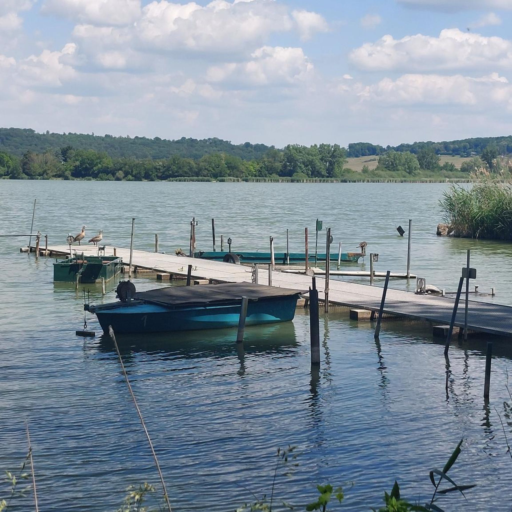
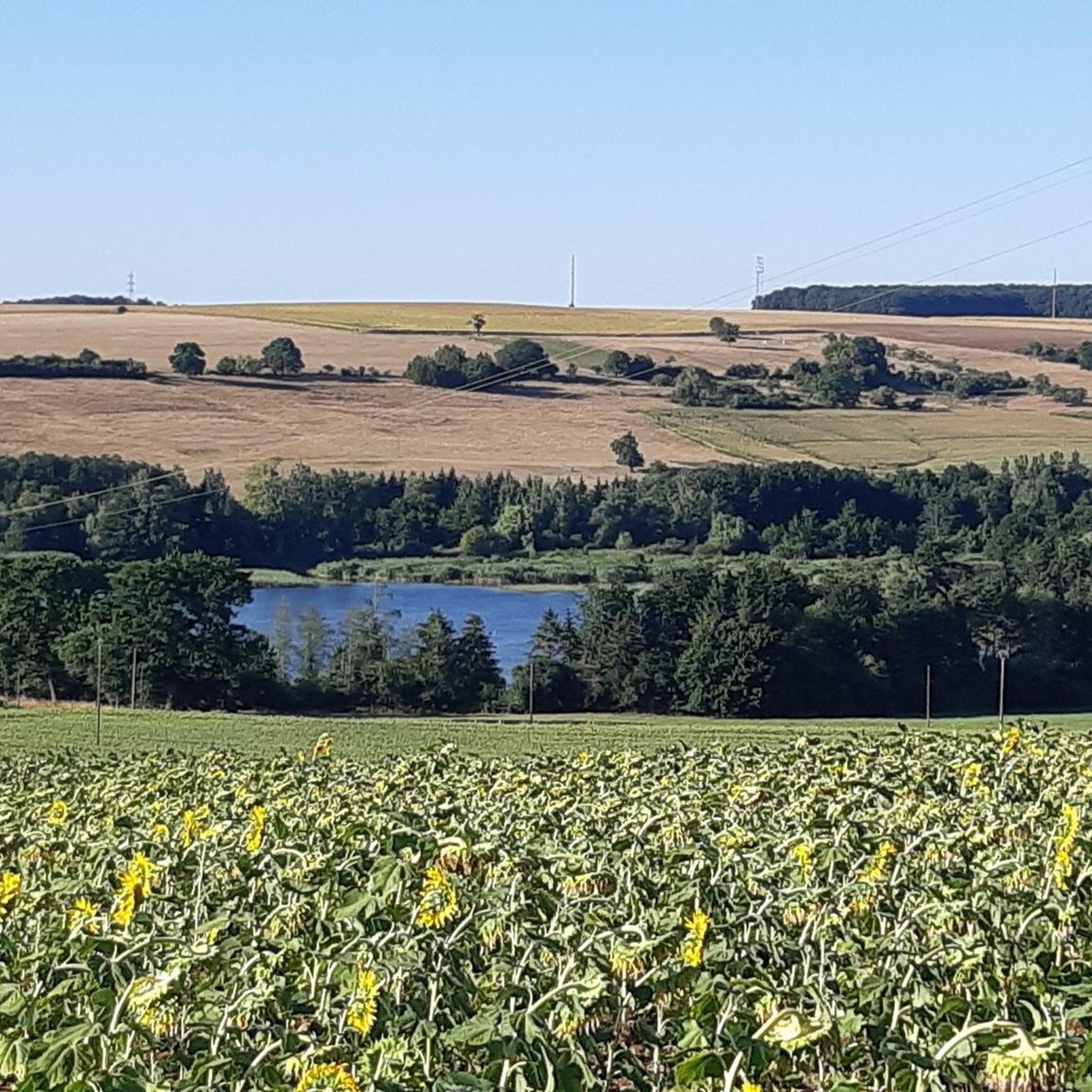
One of the large ponds in the area, here with a beautiful view 🇫🇷🛥️
0
0
Shows an old crane. Probably used to draw water from the well.
1
0

Nicknamed the "Knochenheiler" of Berig: Michel Varis born in Grostenquin on May 14, 1777, a healer who left his mark. Famous for his undisputed gifts as a bone-setter, but also for his great generosity. He treated people and animals out of charity at a time and in a region where doctors were rare. He died on July 13, 1850 in Bérig-Vintrange, and is buried in the municipal cemetery. His epitaph pays tribute to the great man he was.
0
0

It's a little tour for someone who has an hour to spare
0
0


This memorial makes it possible to remember the resistance fighters and deportees of the Second World War from Longeville-lès-Saint-Avold. A pretty clear path leads there.
4
0
Frequently Asked Questions
How many touring cycling routes are available around Mörchingen?
There are over 30 touring cycling routes available around Mörchingen, offering a variety of options for different skill levels and preferences.
Are there easy touring cycling routes suitable for beginners or families in Mörchingen?
Yes, Mörchingen offers several easy touring cycling routes. For instance, the Bike loop from Harprich is a short, easy option, covering about 4.7 km with minimal elevation gain, ideal for a relaxed ride.
What kind of terrain can I expect on touring cycling routes in Mörchingen?
The touring cycling routes around Mörchingen feature a landscape of rolling terrain, agricultural fields, and waterways like the Saar Coal Canal and various ponds. You'll find a mix of open areas and sections near natural habitats, including stork valleys. Elevation changes are generally moderate, though some routes offer more challenging climbs.
Are there challenging touring cycling routes for experienced riders?
Yes, for experienced riders seeking a challenge, Mörchingen has difficult routes. The Grand Pond of Mittersheim – The Great Lock of Réchicourt loop from Bénestroff is a demanding 145.2 km path with significant elevation gain, featuring extensive stretches along the Grand Pond of Mittersheim.
Can I find circular touring cycling routes in the Mörchingen area?
Many touring cycling routes in Mörchingen are designed as loops, allowing you to start and end at the same point. An example is the popular Harprich's storks – Stork valley 😉👍 loop from Morhange, which is a moderate 30.5 km route.
What are the typical distances and durations for touring cycling routes in Mörchingen?
Route distances vary widely, from shorter loops around 4.7 km to extensive journeys over 145 km. Durations can range from under an hour for easy routes to several hours for more challenging, longer distances, depending on your pace and the route's difficulty.
What do other touring cyclists say about the routes in Mörchingen?
The touring cycling routes in Mörchingen are highly rated by the komoot community, with an average score of 5.0 stars from over 10 reviews. Cyclists often praise the varied terrain, the mix of open agricultural landscapes, canal paths, and areas near ponds and stork habitats.
Are there any routes that combine natural beauty with historical sites?
Yes, some routes offer a blend of natural scenery and historical interest. For example, the Ancien Bunker – Harprich's storks loop from Morhange is a moderate 33.1 km trail that takes you through both historical sites and natural areas, including stork habitats.
What is the best time of year for touring cycling in Mörchingen?
The region's rolling terrain and agricultural fields are generally best enjoyed from spring through autumn, when the weather is mild and the landscapes are vibrant. While specific winter conditions are not detailed, warmer months typically offer the most pleasant cycling experience.
Are there routes that follow waterways or canals?
Yes, the Mörchingen area is characterized by waterways. Routes like the Saar Coal Canal at Dieding – Grand Pond of Mittersheim loop from Bénestroff feature extensive sections along the Saar Coal Canal and near the Grand Pond of Mittersheim, offering scenic rides along the water.
Is public transport accessible near the touring cycling routes in Mörchingen?
While specific public transport connections to trailheads are not detailed, Mörchingen is a rural area. It's advisable to check local public transport schedules for connections to towns like Morhange or Bénestroff, which serve as starting points for several routes.
Are there options for parking near the touring cycling routes?
For routes starting from towns such as Morhange or Bénestroff, you can typically find public parking facilities. It's recommended to check local parking availability in these starting locations before your trip.

Get inspired with the komoot mobile app


Explore more
Browse the best Cycling routes in other regions.
