The best road cycling routes around Arronnes
4.6
(54)
3,506
riders
82
rides
Road cycling routes around Arronnes are situated within the Montagne Bourbonnaise, offering varied landscapes and diverse terrain. The region features mid-mountain topography, with altitudes ranging from approximately 1,640 feet (500 meters) to over 4,200 feet (1,280 meters) at Puy de Montoncel. This area provides both challenging climbs with significant gradients and flatter sections, making it suitable for different fitness levels. Roads are generally well-maintained, often consisting of smaller routes with minimal traffic.
Best road cycling routes around Arronnes
- The most…
Last updated: July 2, 2026
5.0
(3)
495
riders
54.8km
02:33
620m
620m
Moderate road ride. Good fitness required. Mostly well-paved surfaces and easy to ride.
9
riders
43.9km
02:17
770m
770m
Moderate road ride. Good fitness required. Mostly well-paved surfaces and easy to ride.

Sign up for free
9
riders
19.1km
00:57
280m
280m
Easy road ride. Great for any fitness level. Mostly well-paved surfaces and easy to ride.
8
riders
28.3km
01:36
540m
540m
Moderate road ride. Good fitness required. Some segments of this route may be unpaved and difficult to ride.
5
riders
57.6km
02:34
580m
580m
Moderate road ride. Good fitness required. Mostly well-paved surfaces and easy to ride.
Get access to more routes and recommendations from other explorers.
Sign up for free
Already have an account?
Our route recommendations are based on thousands of hikes, rides, and runs completed by other people on komoot.
Start today with a free account
Your next adventure awaits.
Login or Signup
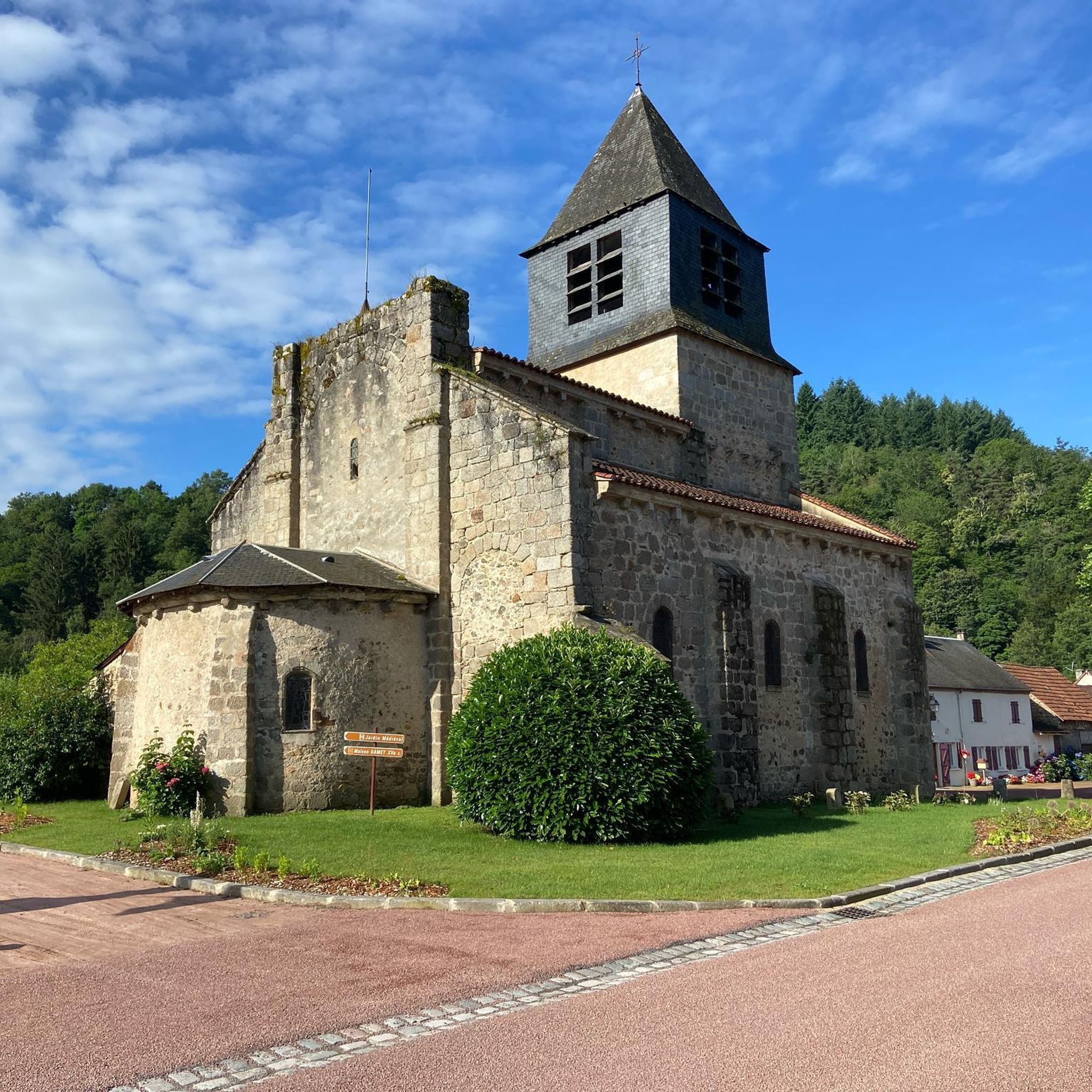
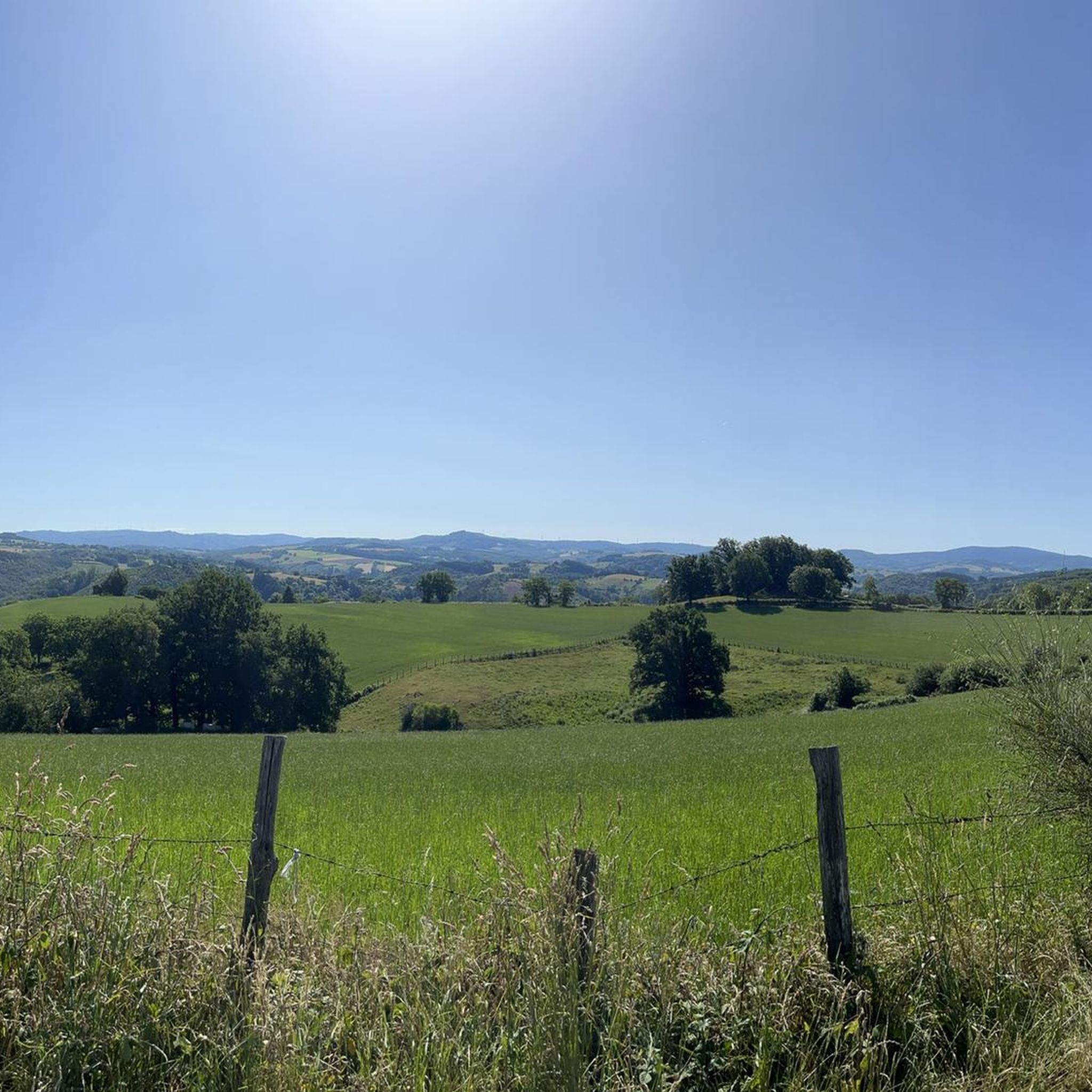
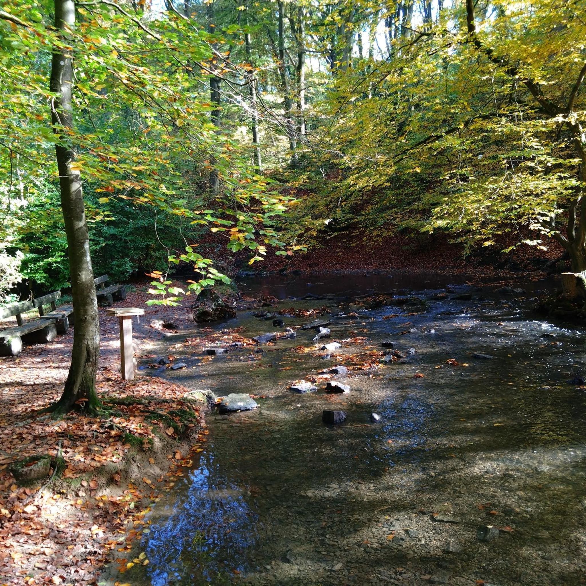
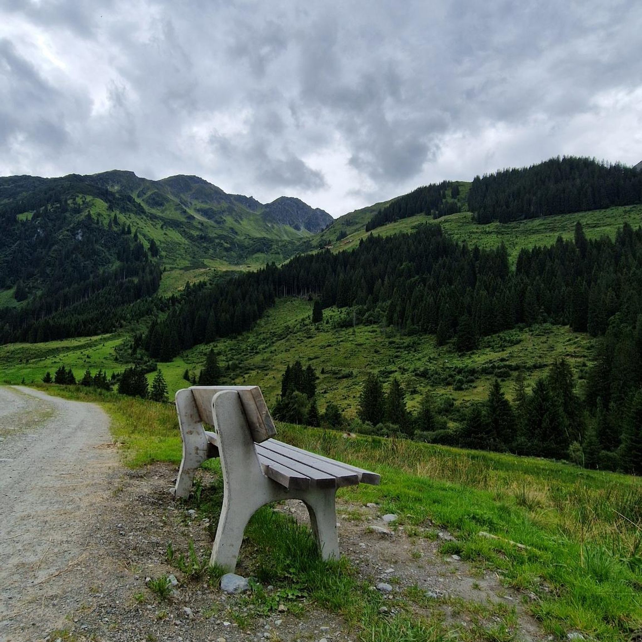
Tips from the Community

A beautiful area with, by French standards, excellent cycle paths, occasionally some potholes etc. for a bike with 5cm tires a nice tour in this lovely country.
0
0
First bike path, nice ride for the average touring cyclist.
0
0

Healing water bubbles from many taps here. You can also bring your own bottle to take home.
1
0


Ferrières-sur-Sichon is the only commune in the Montagne Bourbonnaise to have preserved three of its castles: that of Bourg (16th century), that of Chappes (15th) and that of Montgilbert (13th).
0
0

Arfeuilles is a charming village dating back to the Middle Ages. It is located in the Allier department, on one of the last foothills of the Madeleine Mountains. Its proximity to nature makes it a popular destination for lovers of the great outdoors.
0
0

beautiful park, ideal for running or walking
0
0
Frequently Asked Questions
What kind of terrain can I expect on road cycling routes around Arronnes?
The Montagne Bourbonnaise, where Arronnes is located, offers diverse mid-mountain terrain. You'll find challenging climbs with significant gradients, as well as flatter sections and 'false flats'. Altitudes range from around 500 meters up to 1287 meters at Puy de Montoncel, providing varied ascents and descents suitable for different fitness levels.
How many road cycling routes are available in the Arronnes area?
There are nearly 90 road cycling routes available around Arronnes, catering to various skill levels. You can find everything from easy rides to more demanding journeys through the region's diverse landscapes.
Are there easy road cycling routes suitable for beginners or shorter rides?
Yes, Arronnes offers several easy road cycling routes. For example, the Canon chien-vert loop from Molles is an easy 11.9 miles (19.1 km) path that takes you through peaceful countryside roads, perfect for a shorter, less strenuous ride.
What are some popular moderate road cycling routes in Arronnes?
Many road cyclists enjoy routes with moderate climbs and varied terrain. The Arfeuilles loop from Les Grands Nauds is a popular choice, covering 27.3 miles (43.9 km) with moderate climbs. Another favorite is The Blood Stone – Plantade Pass loop from Lachaux, which is 17.4 miles (28.1 km) with varied elevation.
What kind of natural features and landscapes will I see while cycling?
The region is characterized by its picturesque natural environment, including forests and charming villages. You'll cycle through traditional Auvergnat countryside, often bordered by the Allier and Loire rivers, offering scenic backdrops for your rides.
Are there any historical landmarks or attractions along the road cycling routes?
Yes, you can incorporate historical sites into your rides. The Château de Montgilbert is a notable historical site that can be part of cycling loops. You might also pass by the interesting Châteldon Castle or Château de Busset on some routes.
Can I find any natural monuments or viewpoints on the routes?
Absolutely. The area features several natural highlights. You could encounter the Saint-Vincent Rock or enjoy panoramic views from the Panorama of Rez de Sol. The Gorges of the Credogne, with an old restored water mill, also offer a glimpse into the region's natural beauty.
Are there any waterfalls accessible by road bike?
While road cycling routes typically stick to paved roads, some natural attractions like the Creux de Saillant Waterfall are located in the vicinity and might be accessible with a short detour or a combined cycling and walking trip.
What do other road cyclists say about the routes in Arronnes?
The road cycling routes around Arronnes are highly rated by the komoot community, with an average score of 4.4 stars from over 40 reviews. Cyclists often praise the well-maintained, low-traffic roads and the diverse, scenic landscapes of the Montagne Bourbonnaise.
Are the roads generally well-maintained for road cycling?
Yes, the roads in the Arronnes region are generally well-maintained. They often consist of smaller or secondary roads with minimal traffic, which contributes to a peaceful and enjoyable cycling experience.
Is Arronnes a good destination for training for high mountain cycling?
The varied topography of the Montagne Bourbonnaise, with its challenging climbs and significant elevation changes, makes it an excellent destination for rigorous training. Many cyclists use the routes around Arronnes as preparation for high mountain cycling.
Are there any routes that offer views of the Allier river?
Yes, some routes provide scenic views of the Allier river. For instance, the View of the Allier – Allier loop from Mariol is a moderate 33.7 miles (54.3 km) route that specifically highlights the river's presence in the landscape.
Most popular attractions around Arronnes

Get inspired with the komoot mobile app


Explore more
Browse the best Road cycling routes in other regions.
