The best road cycling routes around Meysse
4.4
(268)
8,888
riders
313
rides
Road cycling routes around Meysse are situated in the Ardèche department of France, offering diverse landscapes for cyclists. The region is characterized by its location along the Rhône River, featuring riverine landscapes, limestone canyons, and vineyards. Cyclists will find a network of routes traversing extensive forests and agricultural lands, providing varied terrain. The area's geography includes both gentle riverside paths and more challenging ascents with significant elevation gain.
Best road cycling routes around Meysse
- The most popular road cycling route…
Last updated: July 1, 2026
50
riders
56.1km
02:38
160m
160m
Moderate road ride. Good fitness required. Some segments of this route may be unpaved and difficult to ride.
13
riders
29.0km
01:46
540m
540m
Moderate road ride. Good fitness required. Some segments of this route may be unpaved and difficult to ride.

Sign up for free
4.0
(1)
21
riders
31.0km
01:49
370m
370m
Moderate road ride. Good fitness required. Mostly well-paved surfaces and easy to ride.
12
riders
27.9km
01:33
400m
400m
Moderate road ride. Good fitness required. Mostly well-paved surfaces and easy to ride.
13
riders
29.7km
01:20
260m
260m
Easy road ride. Great for any fitness level. Mostly well-paved surfaces and easy to ride.
Get access to more routes and recommendations from other explorers.
Sign up for free
Already have an account?
Our route recommendations are based on thousands of hikes, rides, and runs completed by other people on komoot.
Start today with a free account
Your next adventure awaits.
Login or Signup

Tips from the Community

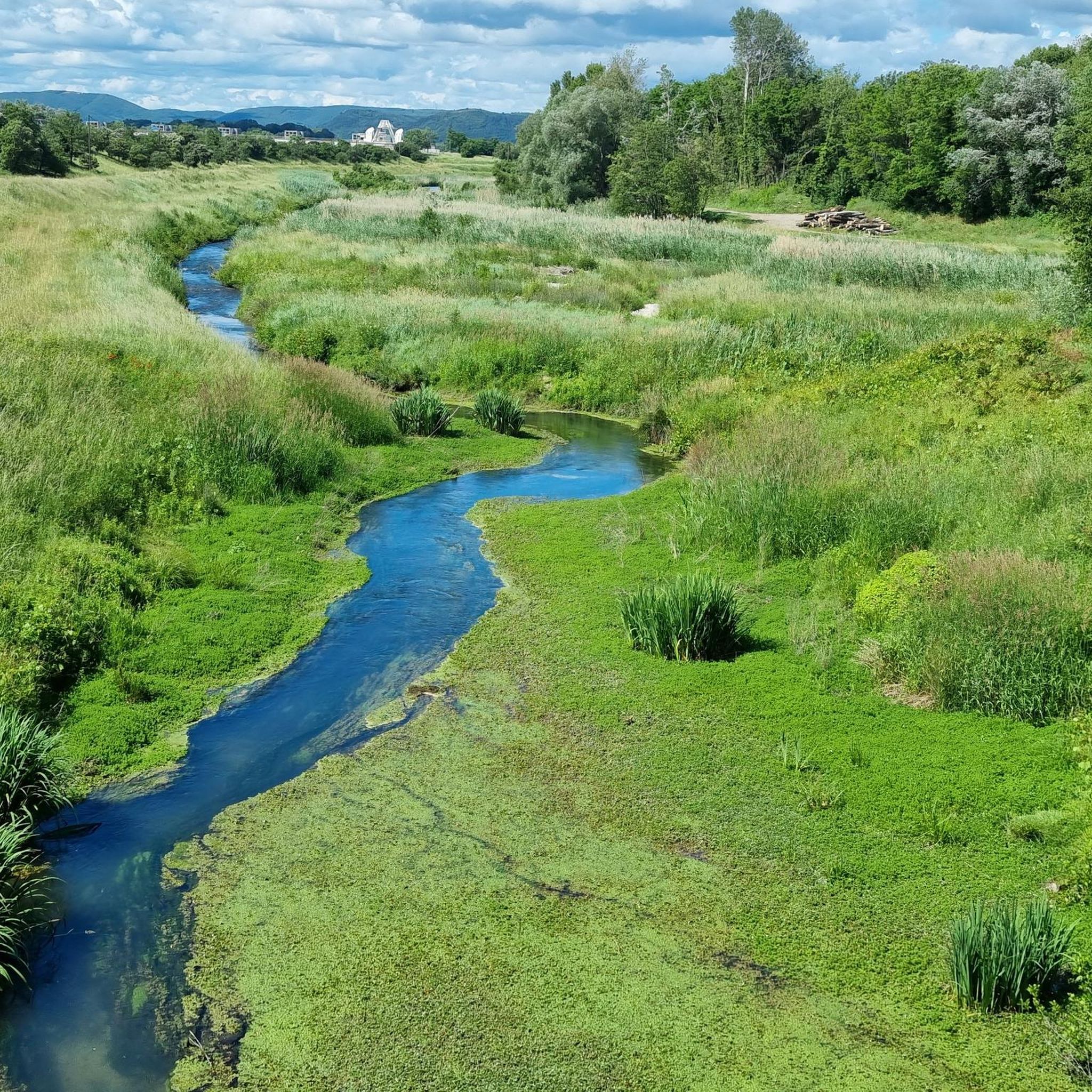
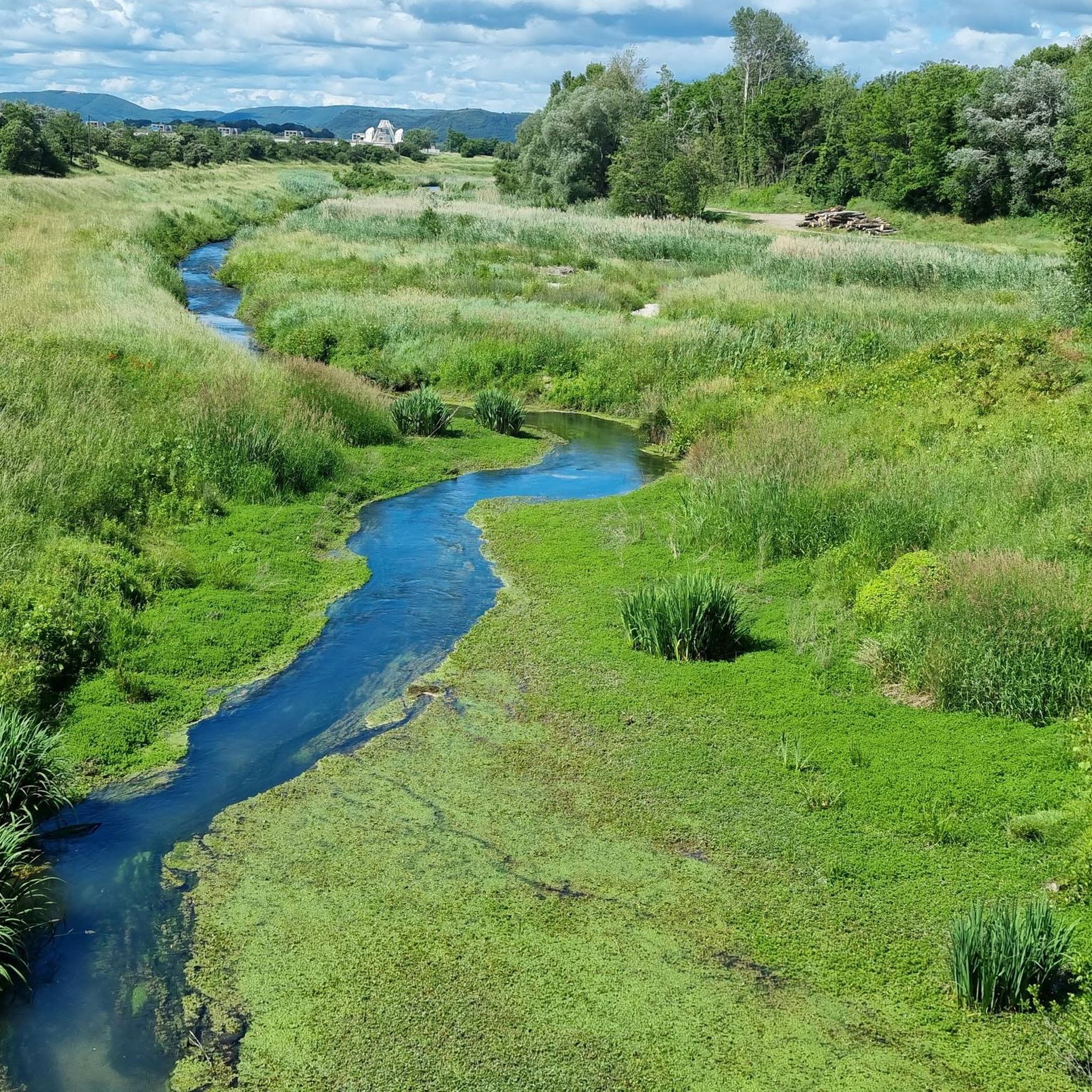
The suspension bridge over the La Payre River near Le Pouzin in the Ardèche is a functional structure that primarily serves as a pedestrian bridge. It connects the southern bank of the La Payre with the western part of the village and is a useful crossing for hikers and cyclists. The bridge is part of the "Voie douce de la Payre," a former railway line now used as a cycling and hiking path.
0
0
The suspension bridge over the La Payre River near Le Pouzin in the Ardèche is a functional structure that primarily serves as a pedestrian bridge. It connects the southern bank of the La Payre with the western part of the village and is a useful crossing for hikers and cyclists. The bridge is part of the "Voie douce de la Payre," a former railway line now used as a cycling and hiking path.
0
0

a beautiful path, scenic, and good surface
0
0

hairy, as it's 200m over the river and bridge surface is noisy metal panels...
0
0

This Parking is signposted from the road for the Voie Verte - Via Rhôna. If you cross the bridge to Le Pouzin, you have the bike path at the side. As mentioned on that highlight it is quite narrow and with modern MTB handlebars of 700mm you have to be careful.
0
0

This ford is only passable on hot days and when the water is low. Because of the risk of falling, it is safer to use the suspension bridge next to it.
0
0
Another modern suspension bridge that sways over the river la Payre. Next to it is a ford that is probably only passable at low water.
0
0

Flowering time of lavender is mid-July to the end of July, depending on the weather that year. Before or after that, this highlight is no longer worth a visit.
0
0
Frequently Asked Questions
How many road cycling routes are available around Meysse?
There are over 320 road cycling routes around Meysse, offering a wide variety of options for different skill levels and preferences. This includes 73 easy routes, 171 moderate routes, and 79 difficult routes.
What kind of terrain can I expect on road cycling routes near Meysse?
The region around Meysse offers diverse terrain for road cyclists. You can expect scenic riverine landscapes along the Rhône, dramatic limestone canyons, and lush vineyards. Routes also traverse extensive forests and agricultural lands, providing a mix of gentle riverside paths and more challenging ascents with significant elevation gain.
Are there any family-friendly road cycling routes in Meysse?
Yes, Meysse offers several routes suitable for families and those looking for an easier ride. For instance, the On the banks of the Rhône, west of Montélimar route is an easy 39.6 km (24.6 miles) trail that follows the scenic riverbanks. Another easy option is the Rochemaure Footbridge – Château de Rochemaure loop from Cruas, which is 41 km (25.5 miles) long and suitable for all fitness levels.
What are some notable landmarks or attractions I can see along the road cycling routes?
Many routes offer views of the picturesque Rhône Valley and historic sites. You can cycle past the medieval village of Rochemaure, with its 12th-century Chateau de Rochemaure, and experience the adventurous Rochemaure Himalayan suspension bridge, which is part of the ViaRhôna. The EDF Cruas power plant with mural is also a unique sight along some routes.
Are there many loop routes for road cycling around Meysse?
Yes, many of the road cycling routes around Meysse are designed as loops, allowing you to start and end at the same point. Examples include the ViaRhôna Pathway – Rochemaure Footbridge loop from Cruas and the challenging Col du Benas (795 m) – Col de Fontenelle (718 m) loop from Rochemaure.
What is the best time of year for road cycling in Meysse?
The Ardèche department, where Meysse is located, generally enjoys a pleasant climate for cycling. Spring and autumn offer milder temperatures, making them ideal for longer rides. Summer can be warm, especially in the Rhône Valley, so early morning or late afternoon rides are often preferred. Winter cycling is possible, but check local weather conditions for cooler temperatures.
What do other road cyclists enjoy most about cycling in Meysse?
The road cycling routes around Meysse are highly rated by the komoot community, with an average score of 4.4 stars from over 240 reviews. Cyclists often praise the diverse landscapes, ranging from riverside paths to challenging climbs, and the scenic beauty of the Rhône Valley, limestone canyons, and vineyards.
Are there dedicated cycling paths like the ViaRhôna in the Meysse area?
Yes, Meysse is notably traversed by the ViaRhôna, a major cycling route that follows the Rhône River. This provides cyclists with extensive, dedicated paths, offering a safe and enjoyable experience. The ViaRhôna Pathway – Rochemaure Footbridge loop from Cruas is a great example of a route incorporating sections of this pathway.
Where can I find parking for road cycling routes in Meysse?
While specific parking areas for each route are not detailed, Meysse and nearby villages like Rochemaure and Cruas typically offer public parking facilities. It's advisable to check local signage upon arrival for the most convenient parking near your chosen starting point.
Are there options for challenging road cycling routes with significant climbs?
Absolutely. For experienced cyclists seeking a challenge, routes like the Col du Benas (795 m) – Col de Fontenelle (718 m) loop from Rochemaure offer significant climbs and mountainous terrain. This 62.9 km (39.1 miles) route involves substantial elevation gain and is often completed in about 3 hours.
Can I find places to rest or picnic along the road cycling routes?
The region offers several charming villages and natural spots where you can take a break. The banks of the Lavezon, for example, feature picnic areas. Meysse itself has a historic village center, and nearby Rochemaure offers a medieval atmosphere, providing opportunities to stop and explore.
Is public transport available for cyclists with bikes in Meysse?
While specific public transport options for bikes are not detailed, regional bus services in the Ardèche department may offer limited capacity for bicycles. For longer distances, train services in larger nearby towns might accommodate bikes, but it's always recommended to check with the specific transport provider in advance for their bicycle policies and availability.
Most popular attractions around Meysse

Get inspired with the komoot mobile app


Explore more
Browse the best Road cycling routes in other regions.
