The best walks and hikes around Le Pontet
4.5
(193)
2,061
hikers
68
hikes
Hiking around Le Pontet offers access to diverse landscapes, primarily characterized by alpine terrain, glacial lakes, and mountain passes. The region features a mix of forested paths, open alpine pastures, and elevated viewpoints. Trails often traverse areas with significant elevation changes, providing varied hiking experiences.
Best hiking trails around Le Pontet
- The most popular hiking route is Frog Lake – Arbarétan Pass loop from Parking de Teppe Verte, a 7.9 miles (12.7 km) moderate trail that takes 4 hours…
Last updated: October 18, 2026
4.3
(9)
100
hikers
10.7km
04:34
660m
660m
Moderate hike. Good fitness required. Mostly accessible paths. Sure-footedness required.
4.8
(5)
38
hikers
10.8km
03:05
260m
260m
Moderate hike. Good fitness required. Easily-accessible paths. Suitable for all skill levels.

4.0
(1)
15
hikers
5.17km
01:36
200m
200m
Easy hike. Great for any fitness level. Easily-accessible paths. Suitable for all skill levels.
4.0
(1)
18
hikers
11.8km
04:04
620m
610m
Moderate hike. Good fitness required. Easily-accessible paths. Suitable for all skill levels.
5
hikers
13.1km
04:17
550m
550m
Moderate hike. Good fitness required. Mostly accessible paths. Sure-footedness required.
Get access to more routes and recommendations from other explorers.
Already have an account?
Our route recommendations are based on thousands of hikes, rides, and runs completed by other people on komoot.
Start today with a free account
Your next adventure awaits.



Other adventures around Le Pontet

Tips from the Community


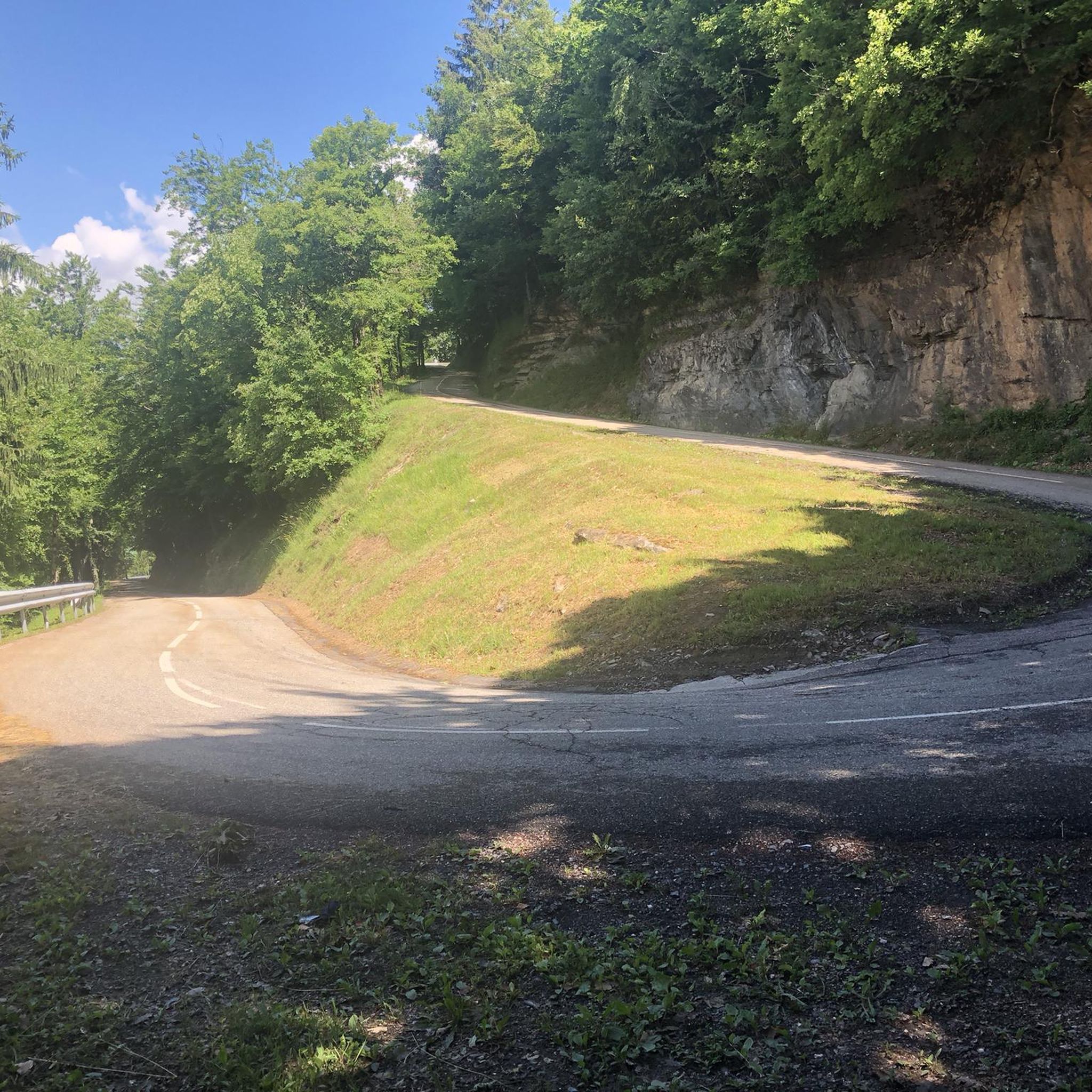
A sustained climb from Chamoux; for those with the best tire equipment (minimum 25" 4 seasons), it's possible to climb all the way to the Fort itself!
0
0


Col la Perche is located at an altitude of 1,986 meters, between Pointe de Rognier (2,341 meters) and Chapotet (2,083 meters).
0
0
The Montgilbert fort is located at an altitude of 1,630 meters and dates from the 1880s. It then allowed the surveillance of the Arc valley, the According to valleys and the Cucheron pass. It is no longer possible to visit it, but you can get a good overview by approaching the entrance.
0
0
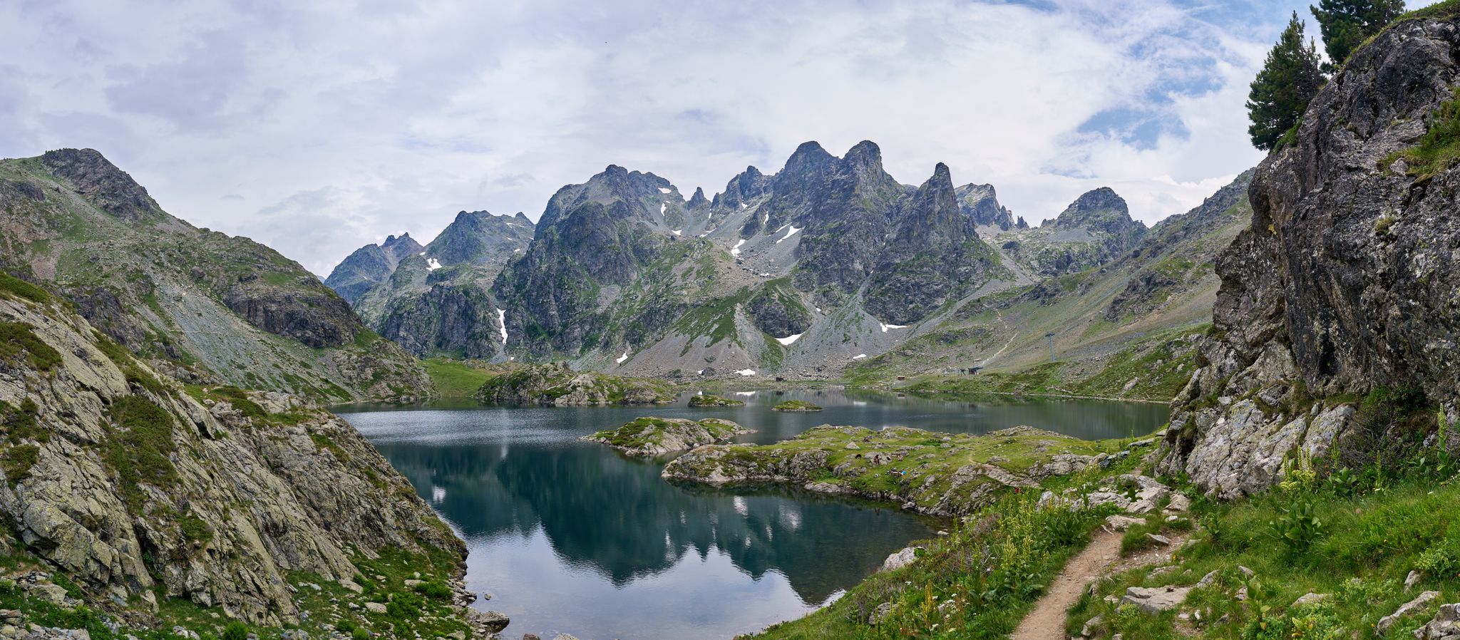
It is a superb passage, at an altitude of 1,850 meters. The panorama opens onto the Lauzière chain, Mont Blanc and Pointe de Rognier. A small lake is at the level of the pass, it is the lake of the Frogs.
0
0
Frequently Asked Questions
How many hiking trails are there around Le Pontet?
The Le Pontet area offers a wide variety of hiking experiences, with over 60 routes available. These range from easy strolls through alpine pastures to more challenging ascents to mountain passes.
What kind of terrain can I expect when hiking near Le Pontet?
Hiking around Le Pontet primarily features alpine terrain, characterized by glacial lakes, dramatic mountain passes, and open alpine pastures. You'll encounter a mix of forested paths and elevated viewpoints, often with significant elevation changes, providing a diverse hiking experience.
Are there any easy hiking routes suitable for beginners or families?
Yes, there are several easy hiking routes around Le Pontet. For example, the Col de Champlaurent loop from Champlaurent is an easy 3.4-mile (5.5 km) path that takes about 1 hour 40 minutes to complete, offering a gentle introduction to the alpine scenery.
Can I find circular hiking routes in the Le Pontet area?
Absolutely. Many of the trails around Le Pontet are designed as loops, allowing you to start and end at the same point. A popular moderate option is the Col du Grand Cucheron loop from Le Pontet, covering 7.3 miles (11.8 km) and typically taking around 4 hours.
What natural features or landmarks can I see on the trails?
The trails around Le Pontet offer stunning natural beauty. You can explore magnificent glacial lakes like Lac du Pontet itself, and enjoy panoramic views of the Ecrins massif, including peaks like La Meije and Les Agneaux. Notable mountain passes such as Marocaz Pass and Col du Grand Cucheron are also prominent features.
Are there any opportunities for wild swimming near the hiking trails?
Yes, Lac du Pontet, a beautiful glacial lake, is known for its cool, clear waters where you can enjoy a refreshing dip during warmer days. Additionally, the Étang de Grésy is another pleasant spot for enjoying the sun and swimming.
What is the best time of year to go hiking in Le Pontet?
The best time for hiking around Lac du Pontet is generally from late spring to early autumn (June to September) when the alpine pastures are green, and the weather is most favorable. During these months, trails are typically clear of snow, and the temperatures are pleasant for outdoor activities.
Where can I find parking for the trailheads?
Many popular trailheads in the Le Pontet area, especially those leading to Lac du Pontet and its surrounding passes, offer designated parking. For instance, the Frog Lake – Arbarétan Pass loop can be accessed from Parking de Teppe Verte, providing convenient starting points for your hike.
Are there any places to stay or eat near the hiking trails?
Yes, the alpine region around Lac du Pontet offers options for accommodation and refreshments. The Gîte Le Pontet in Les Contamines Montjoie serves as accommodation for multi-day treks. You might also find local facilities like Le Gîte Grocery Store & Bed and Breakfast, which can provide amenities for hikers.
What do other hikers say about the trails around Le Pontet?
The trails in Le Pontet are highly rated by the komoot community, with an average score of 4.5 stars from over 170 reviews. Hikers often praise the stunning natural beauty, the tranquility of the alpine environment, and the breathtaking panoramic views of the Ecrins massif.
Are dogs allowed on the hiking trails around Le Pontet?
While many trails in the broader region are dog-friendly, it's always recommended to check specific regulations for national parks or protected areas within the alpine environment, as rules can vary. Generally, dogs on a leash are welcome on many public paths.
How can I reach the trailheads using public transport?
Access to some alpine trailheads, like those near Villar-d'Arêne for Lac du Pontet, might be possible via regional bus services, especially during peak tourist seasons. However, public transport options can be limited in more remote mountain areas, so checking local schedules in advance is advisable.
Are there any challenging routes for experienced hikers?
Yes, Le Pontet offers challenging routes for experienced hikers, often involving significant elevation gain through rugged alpine scenery. For example, the Frog Lake – Arbarétan Pass loop from Parking de Teppe Verte is a moderate 7.9-mile (12.7 km) trail with substantial elevation, requiring good fitness and sturdy shoes.
Most popular routes around Le Pontet
Most popular attractions around Le Pontet

Get inspired with the komoot mobile app


Explore more
Browse the best Hikes in other regions.
