The best running trails around Saint-Alban-D'Hurtières
4.4
(15)
1,764
runners
78
runs
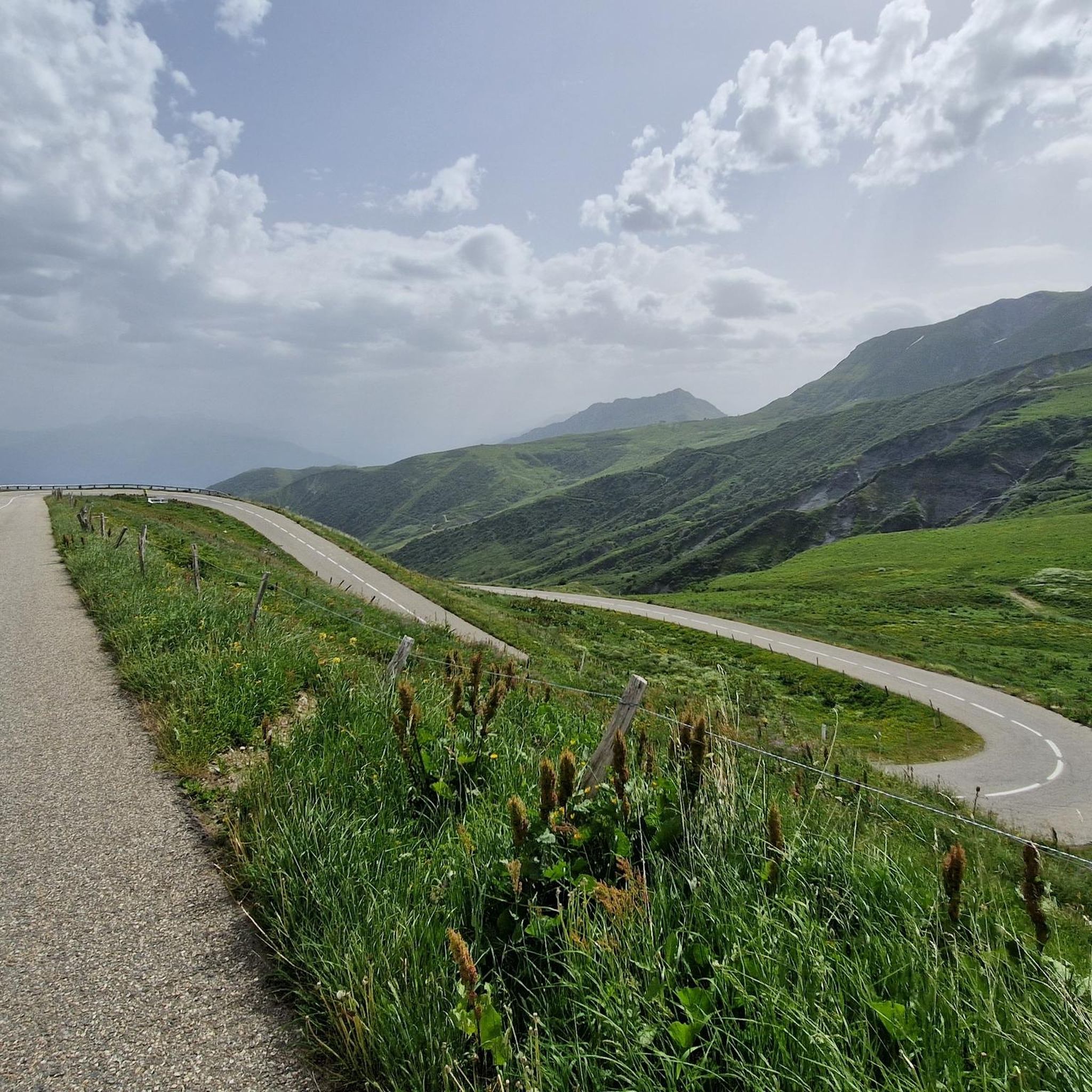
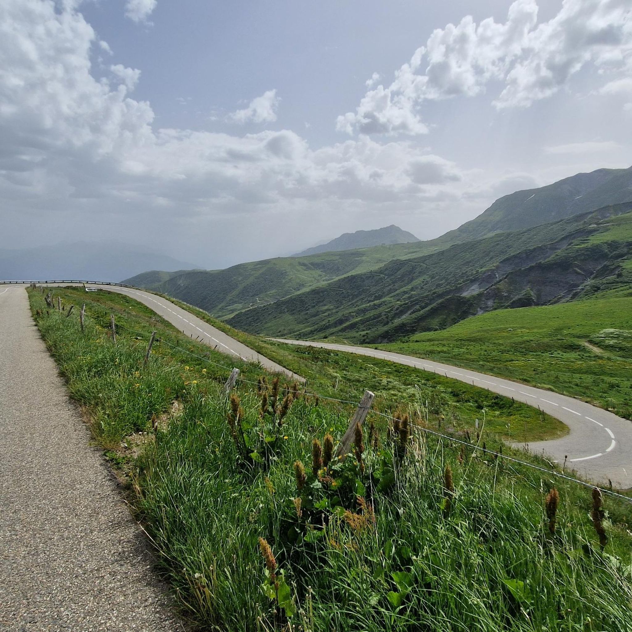
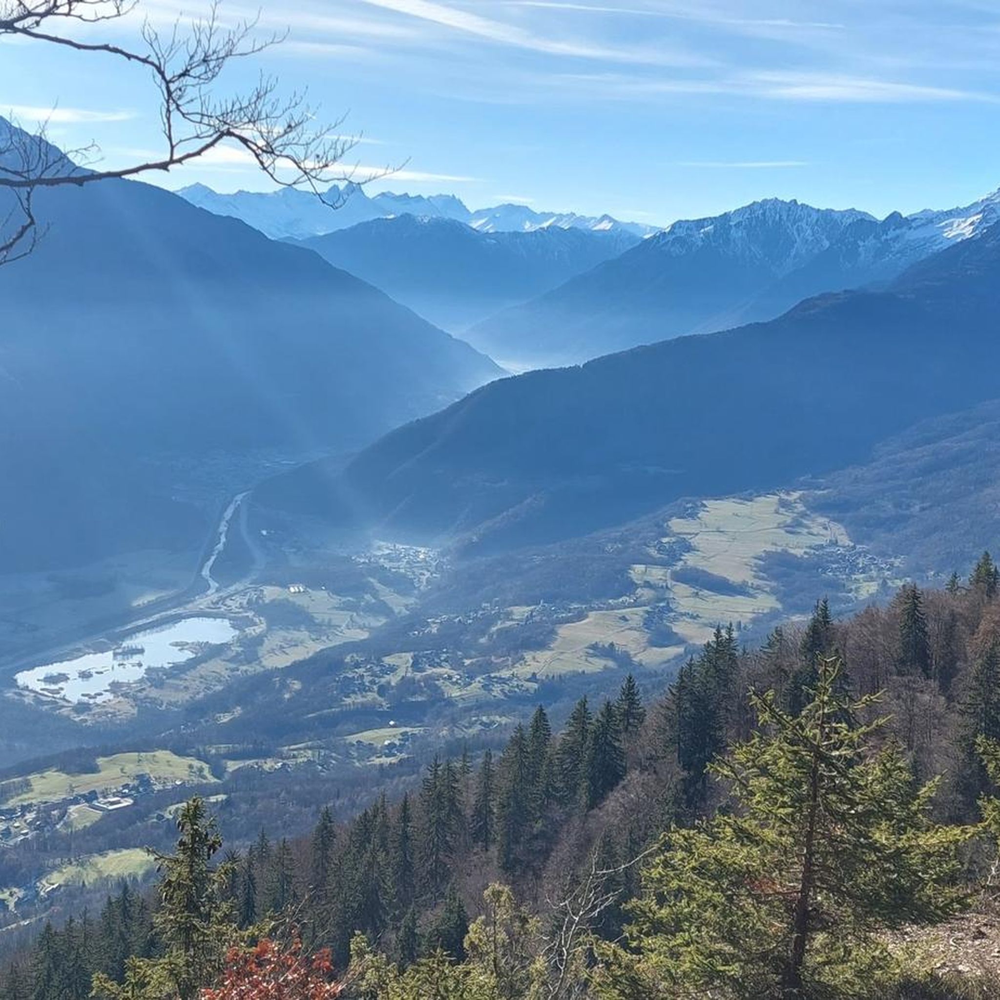
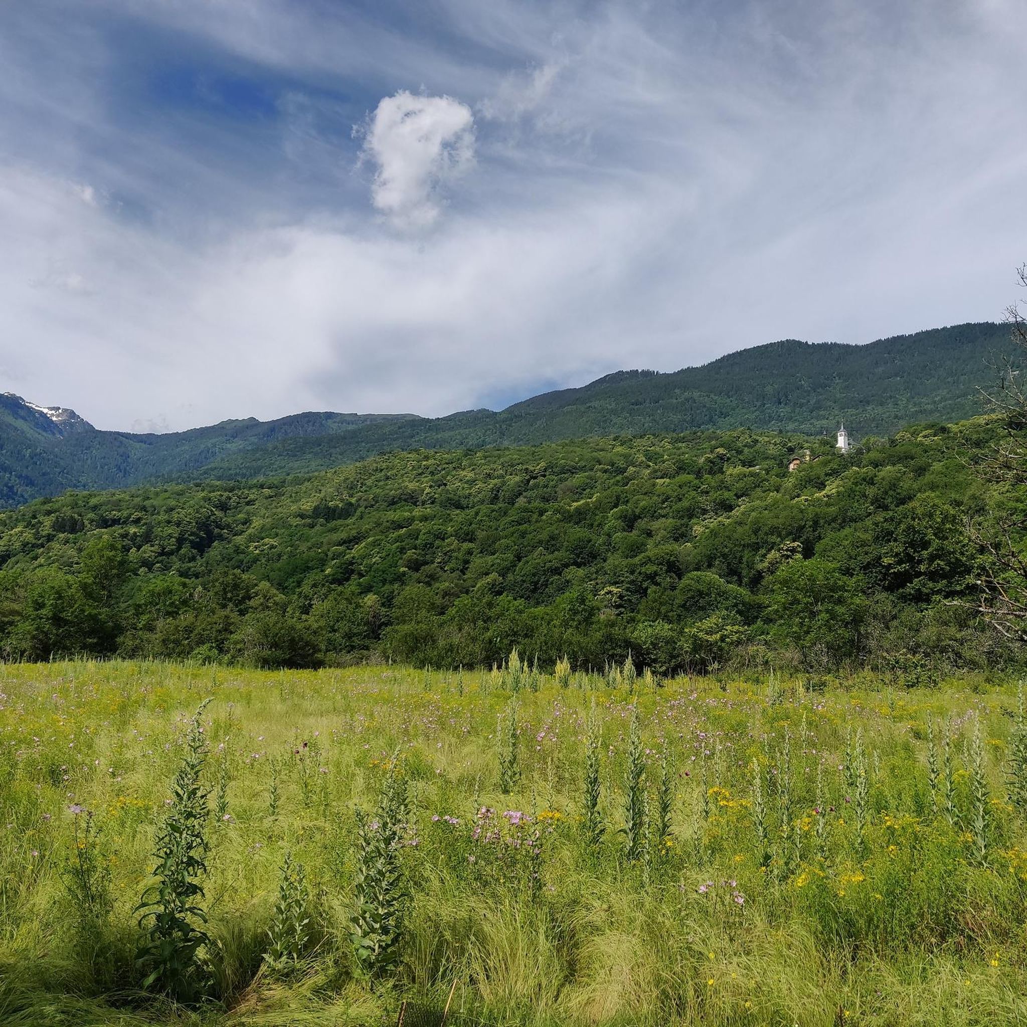
Jogging routes around Saint-Alban-D'Hurtières traverse a diverse landscape within the Savoie department, characterized by varied terrain and significant elevation changes. The region is nestled in the Belledonne Massif, offering a mix of forests, ridges, and valleys. Runners can find paths ranging from lower-altitude trails to more challenging mountain routes, with elevations spanning from 341 to over 2000 meters.
Best jogging routes around Saint-Alban-D'Hurtières
- The most popular jogging route is Col de Champlaurent loop from Champlaurent, a 4.3 miles (7.0…
Last updated: July 1, 2026
115
runners
68.8km
10:54
3,770m
3,760m
Hard run. Very good fitness required. Sure-footedness, sturdy shoes and alpine experience required.
5.0
(1)
13
runners
6.97km
00:52
280m
280m
Moderate run. Good fitness required. Mostly paved surfaces. Suitable for all skill levels.

Sign up for free
18
runners
12.4km
01:52
560m
550m
Hard run. Very good fitness required. Sure-footedness, sturdy shoes and alpine experience required.
8
runners
7.18km
01:18
450m
450m
Hard run. Very good fitness required. Sure-footedness, sturdy shoes and alpine experience required.
5
runners
5.37km
00:39
110m
110m
Moderate run. Good fitness required. Mostly paved surfaces. Suitable for all skill levels.
Get access to more routes and recommendations from other explorers.
Sign up for free
Already have an account?
Our route recommendations are based on thousands of hikes, rides, and runs completed by other people on komoot.
Start today with a free account
Your next adventure awaits.
Login or Signup


Tips from the Community

magnificent view of the snow-capped mountains at the end of May
1
0

Large parts of the tour have very little traffic, so you can enjoy the beautiful nature even more.
1
0

Col la Perche is located at an altitude of 1,986 meters, between Pointe de Rognier (2,341 meters) and Chapotet (2,083 meters).
0
0
Aiguebelle marks the entrance to the Maurienne valley. It is a small living town with a rich past, from where a good number of hikes start.
0
0
The Col de la Perrière is located at an altitude of 2,003 meters. It offers a superb view of the Grand Charnier, the Grands Moulins, the Frêche, the Tête de la Perrière and the Grand Miceau.
0
0
It is a superb passage, at an altitude of 1,850 meters. The panorama opens onto the Lauzière chain, Mont Blanc and Pointe de Rognier. A small lake is at the level of the pass, it is the lake of the Frogs.
0
0

Lovely col well away from the busy roads of the valley floor and a great picnic spot when the sun is out and legs are tired!
1
0

Very nice steady climb from Chamoux, under the trees, and on a road with good asphalt.
1
0
Frequently Asked Questions
How many running routes are available in Saint-Alban-D'Hurtières?
There are over 80 dedicated running routes around Saint-Alban-D'Hurtières, offering a wide range of options for all fitness levels. These include easy paths, moderate trails, and challenging mountain runs.
What kind of terrain can I expect on the jogging trails in this region?
The terrain in Saint-Alban-D'Hurtières is highly varied, ranging from 341 to over 2000 meters in altitude. You'll find a mix of forested paths, scenic ridges, and valley trails within the majestic Belledonne Massif. This diversity provides options from gentle loops to demanding mountain running experiences.
Are there any easy running routes suitable for beginners or a relaxed jog?
Yes, the region offers several easier options. For a moderate, relatively shorter run, consider the Running loop from Saint-Alban-d'Hurtières, which is about 5.4 km. The area around Lac des Hurtières also provides a serene environment with discovery trails suitable for lighter jogging.
Where can I find challenging running routes with significant elevation gain?
For a more vigorous run, the region has numerous difficult trails. The Arbarétan Pass loop from Parking de Teppe Verte is a challenging 14.2 km path with significant elevation gain, offering panoramic views. Routes around prominent passes like the Col du Grand Cucheron also provide demanding ascents and varied terrain.
Are there any circular running routes in Saint-Alban-D'Hurtières?
Many of the running routes in the area are circular. For example, the Col de Champlaurent loop from Champlaurent is a popular moderate circular trail. The region is known for its loop trails, including those around Frog Lake and the Arbarétan Pass.
What are some scenic viewpoints or landmarks I might encounter on a run?
Jogging in Saint-Alban-D'Hurtières offers stunning views. From higher vantage points, you can often see the Lauzière, Chartreuse, Vercors massifs, and even Mont Blanc. Notable landmarks include the Col du Grand Cucheron, which offers impressive views of the Lauzière massif, and the serene Lac des Hurtières.
What do other runners say about the trails in Saint-Alban-D'Hurtières?
The running routes in Saint-Alban-D'Hurtières are highly rated by the komoot community, with an average score of 4.2 stars. Over 1600 runners have explored the varied terrain, often praising the diverse landscapes, from forested paths to mountain ridges, and the options available for different ability levels.
Are there any running routes that pass by historical sites or natural attractions like waterfalls?
While specific waterfall routes are not prominently featured in the main guide, the region does offer trails that combine natural beauty with historical elements. For instance, the Épierre Castle – Cascade des Moulins d'Épierre loop is mentioned as a shorter, easier option exploring historical sites and natural waterfalls, making it suitable for a lighter jog.
What is the best season for running in Saint-Alban-D'Hurtières?
The diverse landscape of Saint-Alban-D'Hurtières makes it suitable for running across multiple seasons. While summer offers shaded sections on trails like the Col du Grand Cucheron loop, the varied terrain means you can find suitable paths in spring and autumn as well. Higher altitude routes might be affected by snow in winter, so lower elevation trails would be more appropriate then.
Are there any longer distance running trails for endurance training?
Yes, for those looking for longer runs, the region provides several options. The Col de Champlaurent loop from Champlaurent, at approximately 15.2 km, offers a significant distance with challenging elevation, ideal for endurance training. Many trails can also be combined or extended for longer excursions.
Can I find running routes that start from Saint-Pierre-de-Belleville?
Absolutely. There is a dedicated route, the Running loop from Saint-Pierre-de-Belleville, which is a moderate 9.1 km trail. This provides a great starting point for exploring the local terrain from that specific village.
Are there any mountain passes accessible for running in the area?
Saint-Alban-D'Hurtières is surrounded by several notable mountain passes that are popular for running. The Col du Grand Cucheron and the Col de Champlaurent are excellent examples, offering challenging ascents and rewarding views. The Arbarétan Pass is also central to various loop trails suitable for runners.
Most popular routes around Saint-Alban-D'Hurtières
Most popular attractions around Saint-Alban-D'Hurtières

Get inspired with the komoot mobile app


Explore more
Browse the best Running Trails & Routes in other regions.
