The best walks and hikes around Sainte-Agathe-En-Donzy
4.5
(161)
950
hikers
129
hikes
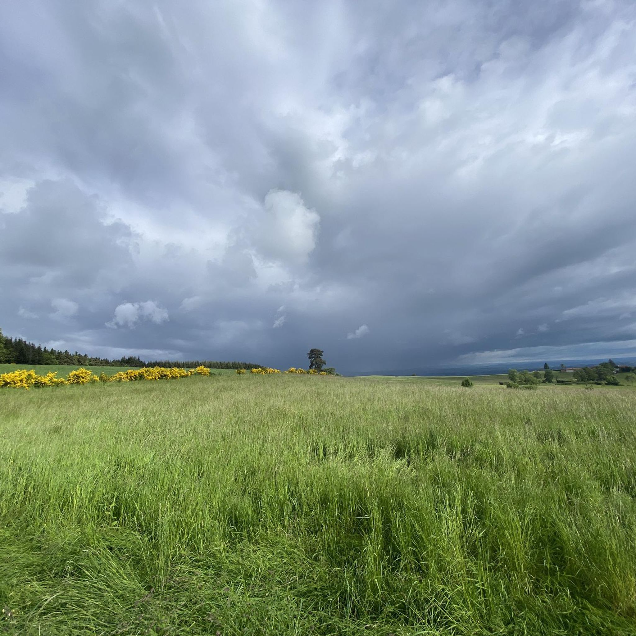
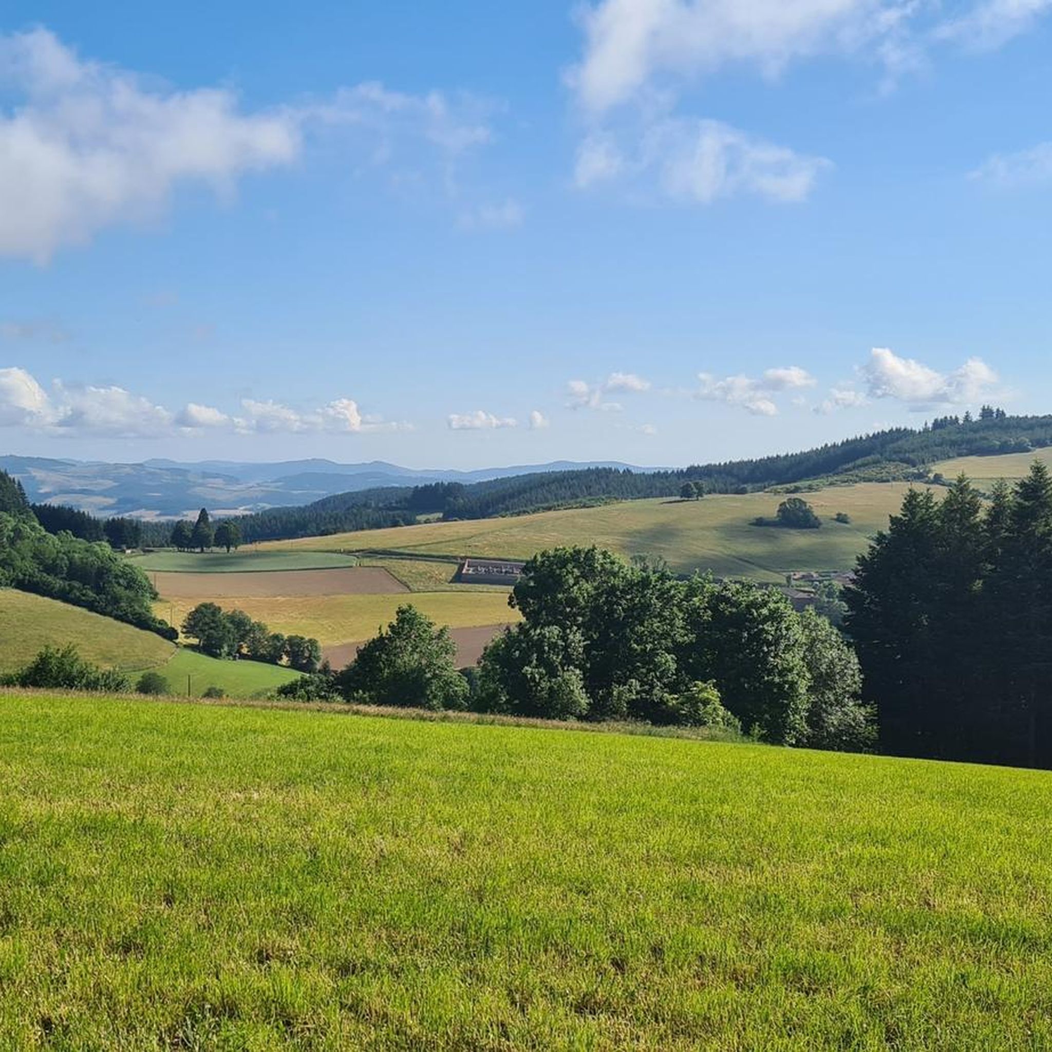
Hiking around Sainte-Agathe-En-Donzy offers diverse landscapes within France's "Montagnes du Matin" region, characterized by a mix of wooded areas, cultivated fields, and hamlets. The terrain features gentle rolling hills, valleys, and streams, providing varied environments for walkers. Trails often follow charming rivers and lead to panoramic viewpoints overlooking the Monts du Lyonnais, Monts de la Madeleine, and the Forez plain. This rural setting provides a network of paths suitable for exploring the natural and historical features of the region.
Best…
Last updated: July 3, 2026
3.5
(2)
8
hikers
11.3km
03:16
290m
290m
Moderate hike. Good fitness required. Easily-accessible paths. Suitable for all skill levels.
5.0
(2)
9
hikers
6.78km
02:00
200m
190m
Easy hike. Great for any fitness level. Easily-accessible paths. Suitable for all skill levels.

Sign up for free
4.0
(1)
7
hikers
12.1km
03:35
350m
350m
Moderate hike. Good fitness required. Easily-accessible paths. Suitable for all skill levels.
4.7
(3)
6
hikers
12.2km
03:34
340m
340m
Moderate hike. Good fitness required. Easily-accessible paths. Suitable for all skill levels.
5.0
(1)
4
hikers
13.5km
03:54
360m
360m
Moderate hike. Good fitness required. Easily-accessible paths. Suitable for all skill levels.
Get access to more routes and recommendations from other explorers.
Sign up for free
Already have an account?
Our route recommendations are based on thousands of hikes, rides, and runs completed by other people on komoot.
Start today with a free account
Your next adventure awaits.
Login or Signup

Tips from the Community

A table to test for your meal on the heights of the Loire
0
0

take the stairs to Chemin du Tacot in Sainte Colombe
0
0

Pretty church in the middle of Violay
0
0
http://www.restaurantlechene.com A very good restaurant, cuisine, service and very pleasant staff - the stop was worth it...
0
0

320m long and 50m high, a magnificent view of the valley, take the time to stop and admire the view.
0
0


Pretty long pass on the Tarare side with a constant slope around 5%. Delimits the watershed line between the Rhône and the Loire. Do not hesitate to climb to Mont Boussuivre by extending a few hundred meters and climb to the top of the Matagrin tower to enjoy a magnificent view of the whole region.
0
0
Frequently Asked Questions
How many hiking trails are available around Sainte-Agathe-En-Donzy?
There are over 100 hiking trails in and around Sainte-Agathe-En-Donzy. These routes offer a variety of experiences, ranging from easy walks to more moderate hikes, suitable for different fitness levels.
What kind of landscapes can I expect while hiking in Sainte-Agathe-En-Donzy?
Hiking in Sainte-Agathe-En-Donzy, nestled in the "Montagnes du Matin," offers diverse landscapes. You'll encounter a mix of wooded areas, cultivated fields, and charming hamlets. Many trails follow pleasant streams and rivers, like the Doise, and lead to panoramic viewpoints with expansive views of the Monts du Lyonnais, Monts de la Madeleine, and the Forez plain.
Are there any easy hiking trails suitable for beginners or families?
Yes, Sainte-Agathe-En-Donzy offers several easy trails. For example, the Matagrin Tower loop from Violay is an easy 3.0-mile (4.8 km) path. The region also features the "Balade en Terre de Tisseurs," a shorter, easier 2 km loop exploring the village's history, which is great for a gentle stroll.
Are there any circular hiking routes in the area?
Yes, many trails in Sainte-Agathe-En-Donzy are designed as circular routes, allowing you to start and end at the same point. Examples include the Matagrin Tower – Affoux loop from Violay and the Rozier-en-Donzy Church loop from Rozier-en-Donzy. The "Boucle du Carrat" is another moderate 7 km loop that incorporates a botanical path and panoramic views.
What are some notable natural features or attractions to see along the trails?
The region is known for its scenic viewpoints offering panoramas of the Monts du Lyonnais and Forez. The Col de la Croix Cazard (865 m) is a significant point of interest. You can also explore the Sentier Botanique de la Belette, a 3.5 km botanical path showcasing over 60 species of plants and trees, complete with educational panels and picnic areas.
What is the best time of year to go hiking in Sainte-Agathe-En-Donzy?
The Montagnes du Matin region is generally pleasant for hiking from spring through autumn. Spring brings blooming flora, while autumn offers vibrant foliage. Summer is also suitable, but it's always advisable to check local weather forecasts and wear appropriate clothing and footwear for the conditions.
Are there any historical sites or landmarks to discover while hiking?
Yes, the trails often pass through areas rich in history. The "Boucle du Carrat" highlights the locations of the commune's four historic mills. The "Sentier Le Moulin" passes by revolutionary farms and the Maître Marcel mill. The "Balade en Terre de Tisseurs" specifically focuses on the village's weaving history, with marked historical sites.
What do other hikers enjoy most about hiking in Sainte-Agathe-En-Donzy?
The area is highly rated by the komoot community, with an average score of 4.7 stars. Reviewers often praise the varied terrain, alternating between forests and cultivated fields, and the rewarding panoramic viewpoints. The well-maintained trails and the peaceful, rural atmosphere are also frequently highlighted.
Are the hiking trails in Sainte-Agathe-En-Donzy dog-friendly?
While specific regulations for dogs on every trail may vary, generally, dogs are welcome on most public hiking paths in rural France, provided they are kept under control, especially near livestock or in protected natural areas. Always ensure your dog is on a leash and that you clean up after them.
Are there any trails that offer significant elevation gain for a more challenging hike?
Yes, some trails in the Montagnes du Matin region offer more significant elevation changes. For instance, the Col de la Croix Cazard (865 m) – Affoux loop from Violay is a moderate 9.6-mile (15.5 km) trail with notable elevation gain, often taking around 4 hours and 35 minutes to complete.
Where can I find more information about specific trails like 'Sentier Le Moulin' or 'Boucle du Carrat'?
You can find more details about these specific trails on local tourism websites. For the 'Sentier Le Moulin', visit loiretourisme.com. Information on the 'Boucle du Carrat' is available at loiretourisme.com.
Most popular routes around Sainte-Agathe-En-Donzy
Most popular attractions around Sainte-Agathe-En-Donzy

Get inspired with the komoot mobile app


Explore more
Browse the best Hikes in other regions.
