The best running trails around Saint-Jean-Bonnefonds
4.5
(4)
342
runners
22
runs
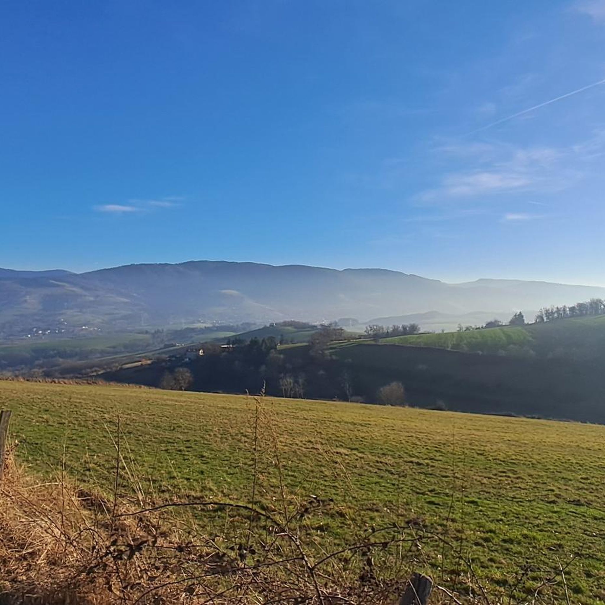
Jogging around Saint-Jean-Bonnefonds offers diverse landscapes, characterized by varied topography with elevations ranging from 418 to 663 meters. The region features a blend of rural and forest environments, with eastern hills retaining preserved forest cover, providing shaded routes. Situated on the Rhône and Loire watershed line, the area presents unique geographical features for runners to explore.
Best jogging routes around Saint-Jean-Bonnefonds
- The most popular jogging route is Chavanelle Square – Athletics track loop from Saint-Jean-Bonnefonds, a 13.6 miles (21.9…
Last updated: July 10, 2026
100
runners
22.6km
02:31
420m
420m
Hard run. Very good fitness required. Mostly paved surfaces. Suitable for all skill levels.
5.0
(1)
39
runners
11.7km
01:17
180m
180m
Moderate run. Good fitness required. Mostly paved surfaces. Suitable for all skill levels.

Sign up for free
3.5
(2)
11
runners
13.2km
01:34
320m
310m
Hard run. Very good fitness required. Mostly paved surfaces. Suitable for all skill levels.
7
runners
10.9km
01:11
220m
210m
Moderate run. Good fitness required. Mostly paved surfaces. Suitable for all skill levels.
1
runners
4.79km
00:34
100m
100m
Moderate run. Good fitness required. Mostly paved surfaces. Suitable for all skill levels.
Get access to more routes and recommendations from other explorers.
Sign up for free
Already have an account?
Our route recommendations are based on thousands of hikes, rides, and runs completed by other people on komoot.
Start today with a free account
Your next adventure awaits.
Login or Signup

Tips from the Community

The parish church was built in 1912 on the site of a small previous building and was completed in 1923. After the establishment of the diocese, it was elevated to the rank of cathedral in 1971.
3
0

Free access, basic quality athletics track
0
0
A peaceful place for picnics or sectarian rituals
1
0
A small park, practical for doing small training sessions
0
0

free access track and great surface!!
0
0


The Town Hall Square of Saint-Étienne, created in the 19th century, is a nerve center of the city. Dominated by the imposing town hall, a neo-classical building completed in 1821, it is surrounded by historic buildings and lively by cafes and shops. It is a gathering place for Saint-Etienne municipal and cultural events.
0
0
The Saint-Charles-Borromée Cathedral in Saint-Étienne, built between 1912 and 1923, is a masterpiece of neo-Gothic style. Designed by the architect Eugène-Auguste Louvier, it impresses with its colorful stained glass windows, its slender vaults and its two majestic towers. Located in the heart of the city, this cathedral is an unmissable historical monument.
0
0
Frequently Asked Questions
How many running routes are available in Saint-Jean-Bonnefonds?
Komoot offers over 20 jogging routes around Saint-Jean-Bonnefonds. These routes cater to various fitness levels, including easy, moderate, and difficult options.
What kind of terrain can I expect on the jogging routes in Saint-Jean-Bonnefonds?
The region features diverse landscapes with varied topography, ranging from 418 to 663 meters in elevation. You'll find a blend of rural and forest environments, with eastern hills offering preserved forest cover and shaded routes. The area is also characterized by its position on the Rhône and Loire watershed line, providing unique geographical features.
Are there easy jogging routes suitable for beginners or a relaxed run?
Yes, Saint-Jean-Bonnefonds offers several easy jogging routes. For instance, the Running loop from Saint-Jean-Bonnefonds is a moderate 4.8 km path with a manageable elevation gain, perfect for a lighter run.
Are there challenging running trails for experienced runners?
Absolutely. For experienced runners seeking a challenge, routes like the Chavanelle Square – Athletics track loop from Saint-Jean-Bonnefonds offer a difficult 21.9 km trail with significant elevation gain. Another demanding option is the Crêt Beauplomb loop from Saint-Jean-Bonnefonds, an 14.3 km difficult trail through preserved forest.
Can I find circular running routes in Saint-Jean-Bonnefonds?
Many of the running routes in Saint-Jean-Bonnefonds are designed as loops, offering convenient circular paths. Examples include the challenging Chavanelle Square – Athletics track loop from Saint-Jean-Bonnefonds and the scenic Small bench with nice view loop from Sorbiers.
Are there any natural features or landmarks to see along the running trails?
Yes, the area boasts several interesting natural and man-made features. You might encounter various dams such as the Gouffre d'Enfer Dam or the Cotatay Dam. The Saut du Gier Waterfall is another notable natural monument. The region's position on the Rhône and Loire watershed also provides unique geographical interest.
Are there routes with scenic viewpoints for a rewarding run?
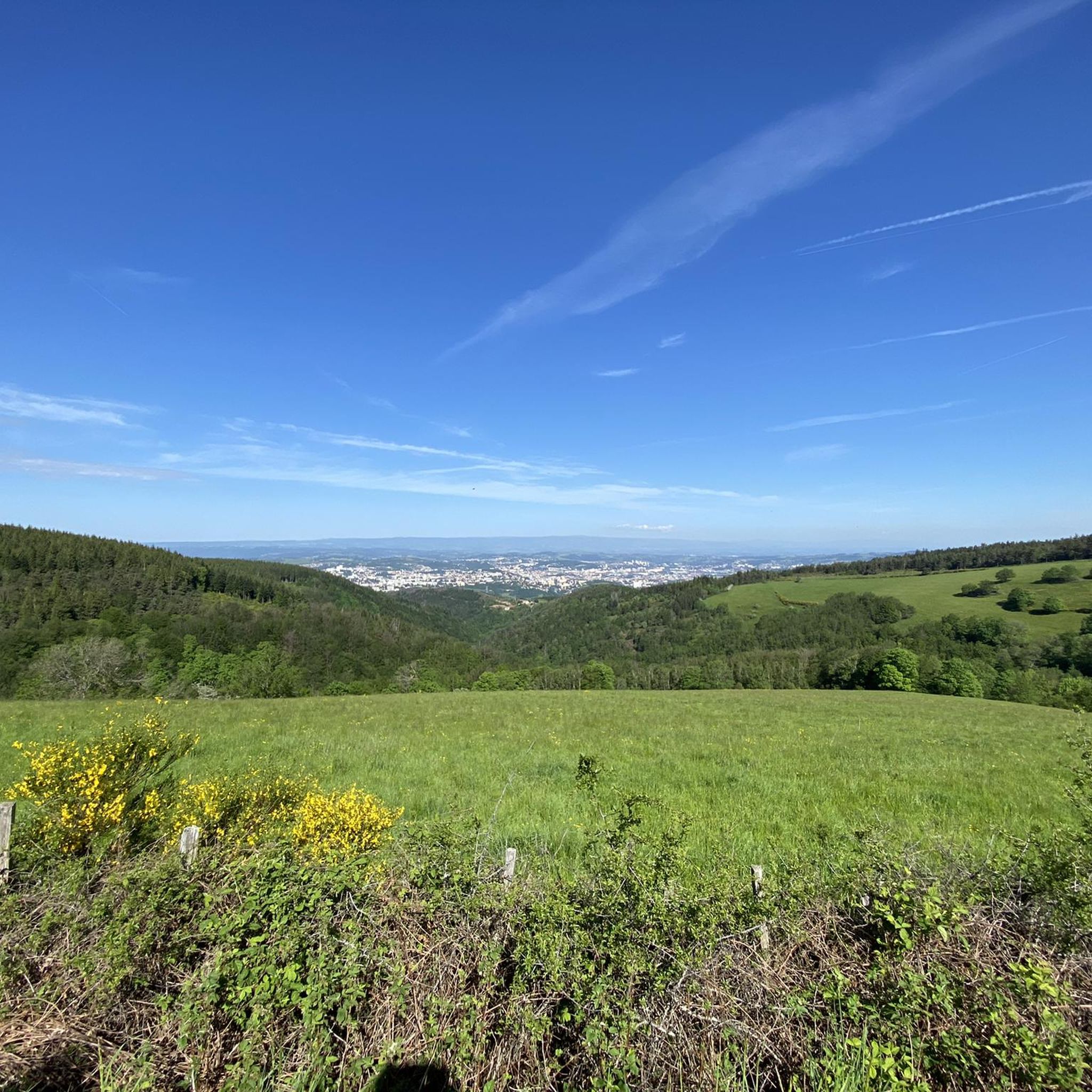
Yes, several routes offer scenic vistas. The Small bench with nice view loop from Sorbiers is specifically highlighted for its scenic viewpoints. Additionally, the Crêt des 6 Soleils is a known viewpoint in the vicinity that could be incorporated into longer runs.
What do other runners say about the trails in Saint-Jean-Bonnefonds?
The running routes in Saint-Jean-Bonnefonds are highly rated by the komoot community, with an average score of 4.5 stars from over 4 reviews. More than 300 runners have used komoot to explore the varied terrain, often praising the diverse landscapes and well-maintained paths.
Are the running trails in Saint-Jean-Bonnefonds dog-friendly?
While specific regulations for dogs on trails can vary, generally, many outdoor trails in natural areas like Saint-Jean-Bonnefonds are dog-friendly, especially if dogs are kept on a leash. It's always recommended to check local signage or park rules for specific routes.
Are there family-friendly jogging options in the area?
For families looking to jog together, the easier and moderate routes are generally suitable. The area's preserved forest cover provides pleasant, shaded paths. While not a jogging route, the nearby France Aventures offers a treetop adventure park in a forest setting, which could be a fun family activity after a run.
Is parking available near the running trails?
Yes, for many of the popular running routes, you can typically find parking facilities at trailheads or in nearby villages. It's advisable to check the specific route details on komoot for parking information related to your chosen trail.
What is the best time of year to go jogging in Saint-Jean-Bonnefonds?
Spring and autumn generally offer the most pleasant conditions for jogging in Saint-Jean-Bonnefonds, with mild temperatures and beautiful scenery. Summer can also be enjoyable, especially on routes with preserved forest cover that provide shade. Winter runs are possible, but be mindful of colder temperatures and potential icy conditions.
Most popular routes around Saint-Jean-Bonnefonds
Most popular attractions around Saint-Jean-Bonnefonds

Get inspired with the komoot mobile app


Explore more
Browse the best Running Trails & Routes in other regions.
