The best road cycling routes around Saint-André
4.4
(176)
14,623
riders
44
rides
Road cycling routes around Saint-André offer diverse terrain and significant elevation changes, characteristic of the French Alps. The region features challenging mountain passes and scenic alpine valleys, providing varied cycling routes for different skill levels. Cyclists can expect routes with substantial climbs and descents, often on paved surfaces, with some options including unpaved sections. This area is known for its dramatic mountainous landscapes and the presence of notable climbs.
Best road cycling routes around Saint-André
- The most popular road cycling…
Last updated: July 1, 2026
5.0
(2)
181
riders
33.6km
01:59
850m
850m
Moderate road ride. Good fitness required. Mostly well-paved surfaces and easy to ride.

2.0
(1)
4
riders
Hard road ride. Very good fitness required. Mostly well-paved surfaces and easy to ride.

Sign up for free
4.8
(6)
391
riders
86.3km
04:59
2,040m
2,040m
Hard road ride. Very good fitness required. Mostly well-paved surfaces and easy to ride.
4.8
(6)
206
riders
137km
08:03
3,390m
3,390m
Hard road ride. Very good fitness required. Mostly well-paved surfaces and easy to ride.
5.0
(4)
144
riders
59.1km
03:29
1,430m
1,430m
Hard road ride. Very good fitness required. Mostly well-paved surfaces and easy to ride.
Get access to more routes and recommendations from other explorers.
Sign up for free
Already have an account?
Our route recommendations are based on thousands of hikes, rides, and runs completed by other people on komoot.
Start today with a free account
Your next adventure awaits.
Login or Signup
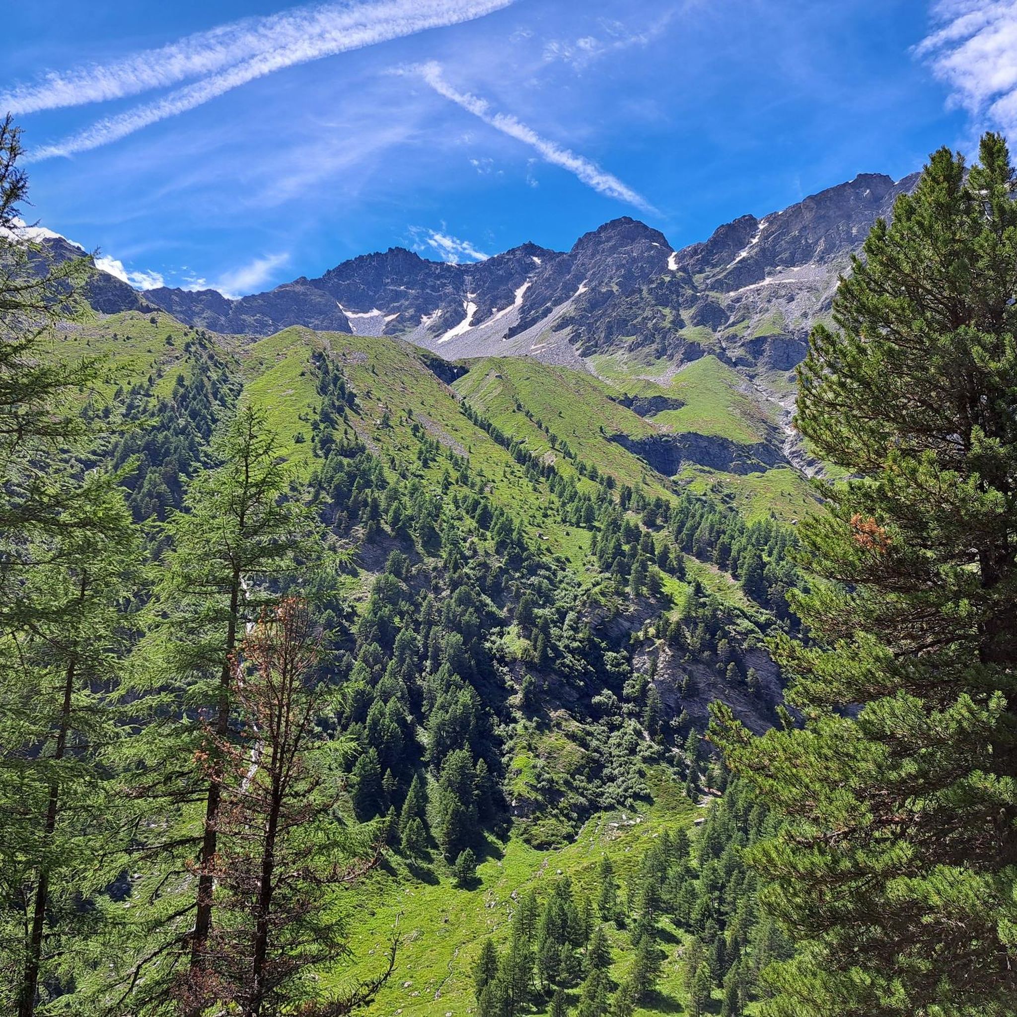
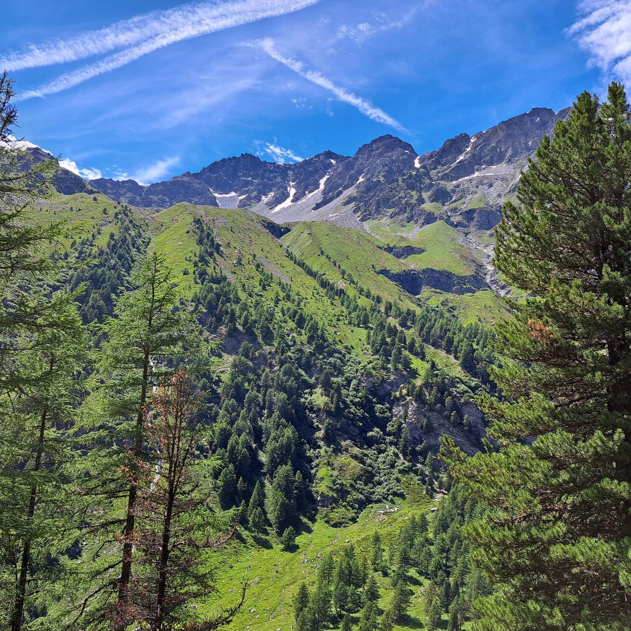
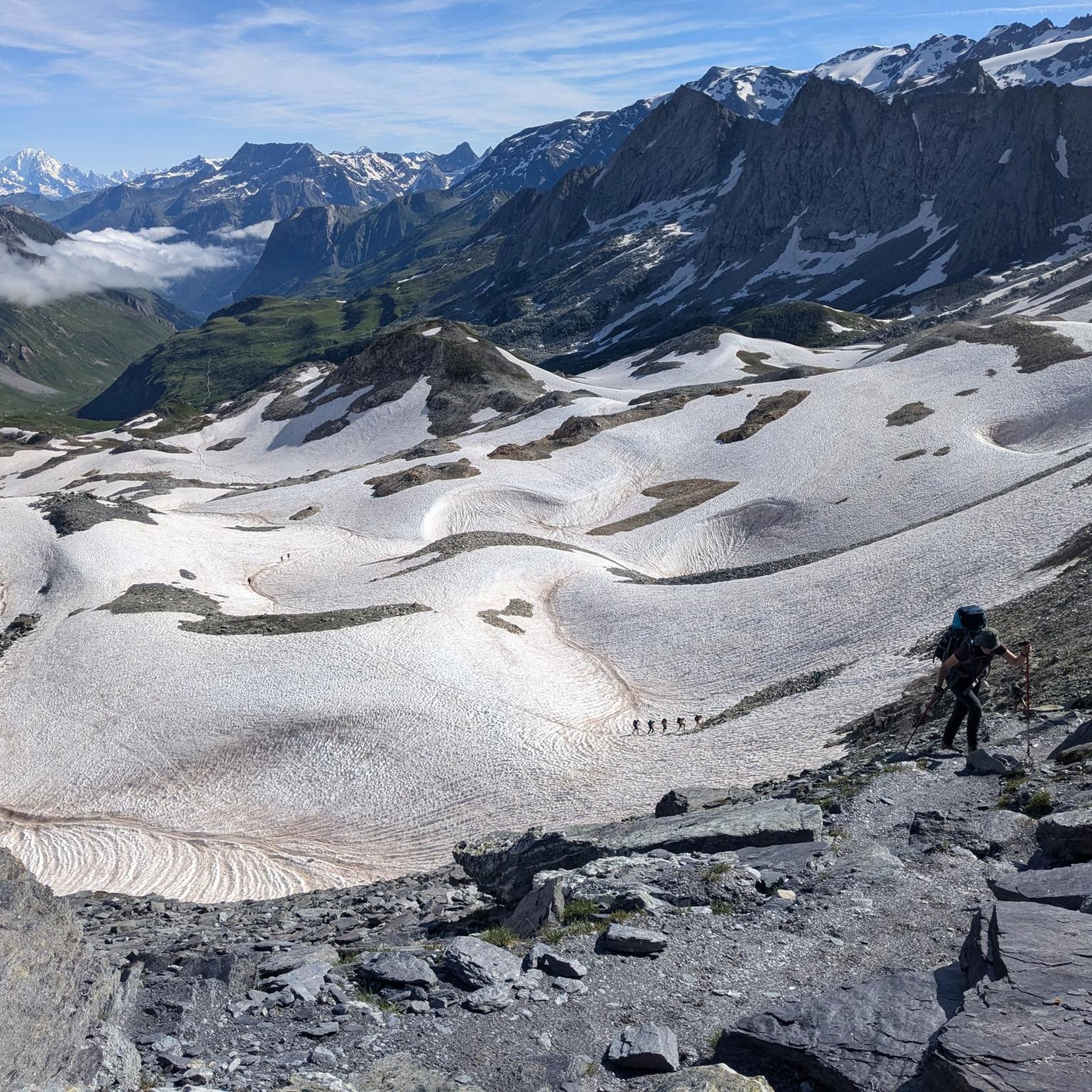
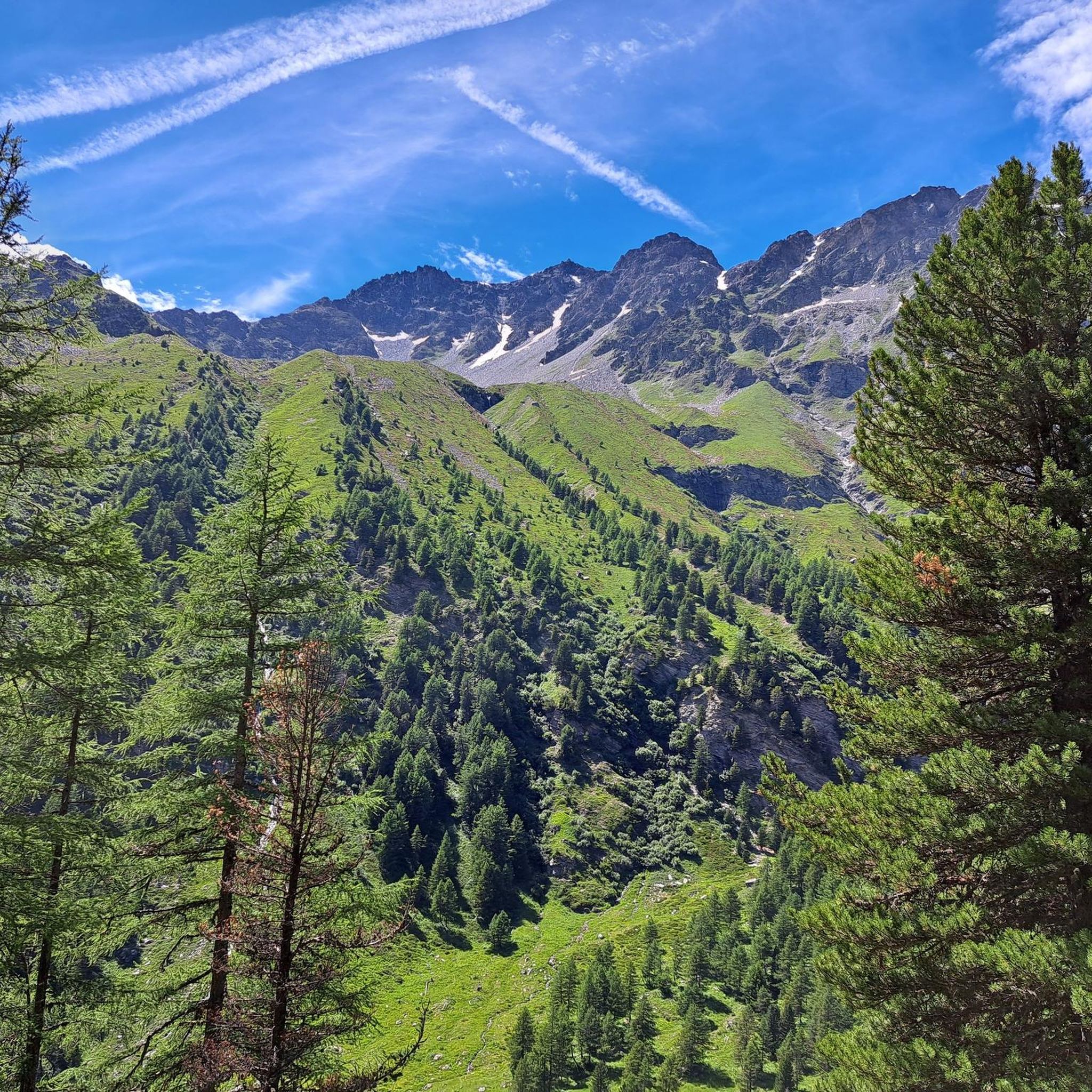


Tips from the Community

Great view of the Victor Emmanuel fortress as part of a chain of fortifications.
1
0
Beautiful view of Fort Victor Emmanuel.
2
0
Town with transit traffic to Italy on the Arc. Many possibilities, hotels, restaurants and shops.
2
0
Beautiful chapel, also a museum, but also a nice hotel and restaurant in the village.
2
0


Even more beautiful downhill
3
0

The straight road that marks the entrance to France, ahead of you, the hairpin bends of the Gran Scala await. Come on, you're almost at the top :)
0
0

Bridge at the base of the hairpin bends before the town of Moncenisio
0
0
Frequently Asked Questions
How many road cycling routes are available around Saint-André?
There are over 35 road cycling routes around Saint-André, catering to various skill levels. This includes 2 easy routes, 24 moderate routes, and 11 difficult routes, offering a wide range of options for cyclists.
What kind of terrain can I expect on road cycling routes in Saint-André?
Road cycling routes in Saint-André are characterized by diverse alpine terrain, featuring challenging mountain passes and scenic valleys. You can expect significant elevation changes, with routes often on paved surfaces, though some options may include unpaved sections. The region is known for its dramatic mountainous landscapes.
Are there any particularly challenging climbs for experienced road cyclists?
Yes, Saint-André offers demanding climbs. For instance, the Montée Lac de Plan d'Aval – Itinéraires pour vélo de route en Maurienne is a difficult 9.1-mile route with over 3,000 feet of elevation gain. Another challenging option is the Valloire Village – Col du Télégraphe loop from Mont d'Ambin Base Tunnel, which covers over 62 miles with more than 8,500 feet of ascent.
What are some scenic viewpoints or landmarks I can see along the routes?
The routes around Saint-André offer breathtaking panoramic vistas of the French Alps. You can encounter dramatic mountainous landscapes and pass by significant peaks and mountain passes. Notable points include Pointe de la Masse, Pointe de l'Observatoire, and the challenging Ascent to the Col du Télégraphe from Saint-Michel-de-Maurienne.
What do other road cyclists say about the routes in Saint-André?
The road cycling routes in Saint-André are highly rated by the komoot community, with an average score of 4.5 stars from over 130 reviews. Cyclists often praise the varied terrain, challenging climbs, and the dramatic alpine scenery. Over 10,000 road cyclists have used komoot to explore this region.
Are there any good loop routes for road cycling?
Yes, there are several excellent loop routes. A popular moderate option is the Barrière de L'Esseillon — loop from Modane, which is 20.9 miles long and takes about 2 hours. For a more challenging experience, consider the Aussois – Summit and View of Aussois loop from La Praz Neuve, a 52.5-mile route through mountainous terrain.
What is the best time of year for road cycling in Saint-André?
The region is particularly popular for cycling during June and August, offering favorable weather conditions for tackling the alpine climbs and enjoying the scenic routes. However, conditions can vary, so it's always advisable to check local forecasts before heading out.
Are there any routes suitable for beginners or those looking for an easier ride?
While many routes feature significant elevation, there are options for less experienced riders. The guide includes 2 routes classified as 'easy' and 24 as 'moderate', providing choices that are less demanding than the difficult mountain passes. These routes still offer beautiful scenery without the extreme climbs.
Can I find routes that pass through charming villages or historical sites?
The region's rich cultural heritage means routes often integrate historical elements. While specific village names are not detailed for every route, the broader Saint-André area is known for medieval villages and historical churches, offering more than just a physical challenge. You can expect to encounter such points of interest, especially on less-traveled roads.
What kind of natural features can I expect to see while cycling?
The Saint-André area, situated in the French Alps, is rich in natural beauty. Cyclists can expect to see dramatic mountainous landscapes, alpine valleys, and various peaks and passes. The routes offer serene river valleys and stunning panoramic views throughout your ride.
Are there any routes that offer views of specific mountain peaks?
Yes, many routes provide views of prominent peaks in the region. For example, you might catch glimpses of Pointe de la Masse, Pointe de l'Observatoire, or Cime de Caron, which are all part of the impressive mountain landscape around Saint-André.
Most popular routes around Saint-André
Most popular attractions around Saint-André

Get inspired with the komoot mobile app


Explore more
Browse the best Road cycling routes in other regions.
