The best mountain hikes around Fourneaux
4.8
(6)
27
hikers
2
hikes
Mountaineering routes around Fourneaux traverse a mountainous landscape, characterized by significant elevation changes and high-altitude features. The region offers challenging terrain suitable for experienced mountaineers. These routes often lead to scenic viewpoints and natural features such as reservoirs and mountain passes.
Best mountaineering routes around Fourneaux
- The most popular mountaineering route is Plan d'Amont Reservoir – View of Plan d'Amont loop from Plan d'Amont, a difficult 7.1 miles (11.4 km) trail that takes about 5 hours 42 minutes to…
Last updated: July 1, 2026
4.5
(4)
19
hikers
11.4km
05:41
960m
960m
Hard mountaineering route. Very good fitness required. Sure-footedness, sturdy shoes and alpine experience required.
5
hikers
15.6km
07:08
1,010m
1,010m
Hard mountaineering route. Very good fitness required. Mostly accessible paths. Sure-footedness required.

Sign up for free
5.0
(2)
3
hikers
16.1km
07:42
1,170m
1,170m
Hard mountaineering route. Very good fitness required. Mostly accessible paths. Sure-footedness required.
Our route recommendations are based on thousands of hikes, rides, and runs completed by other people on komoot.
Start today with a free account
Your next adventure awaits.
Login or Signup
Tips from the Community

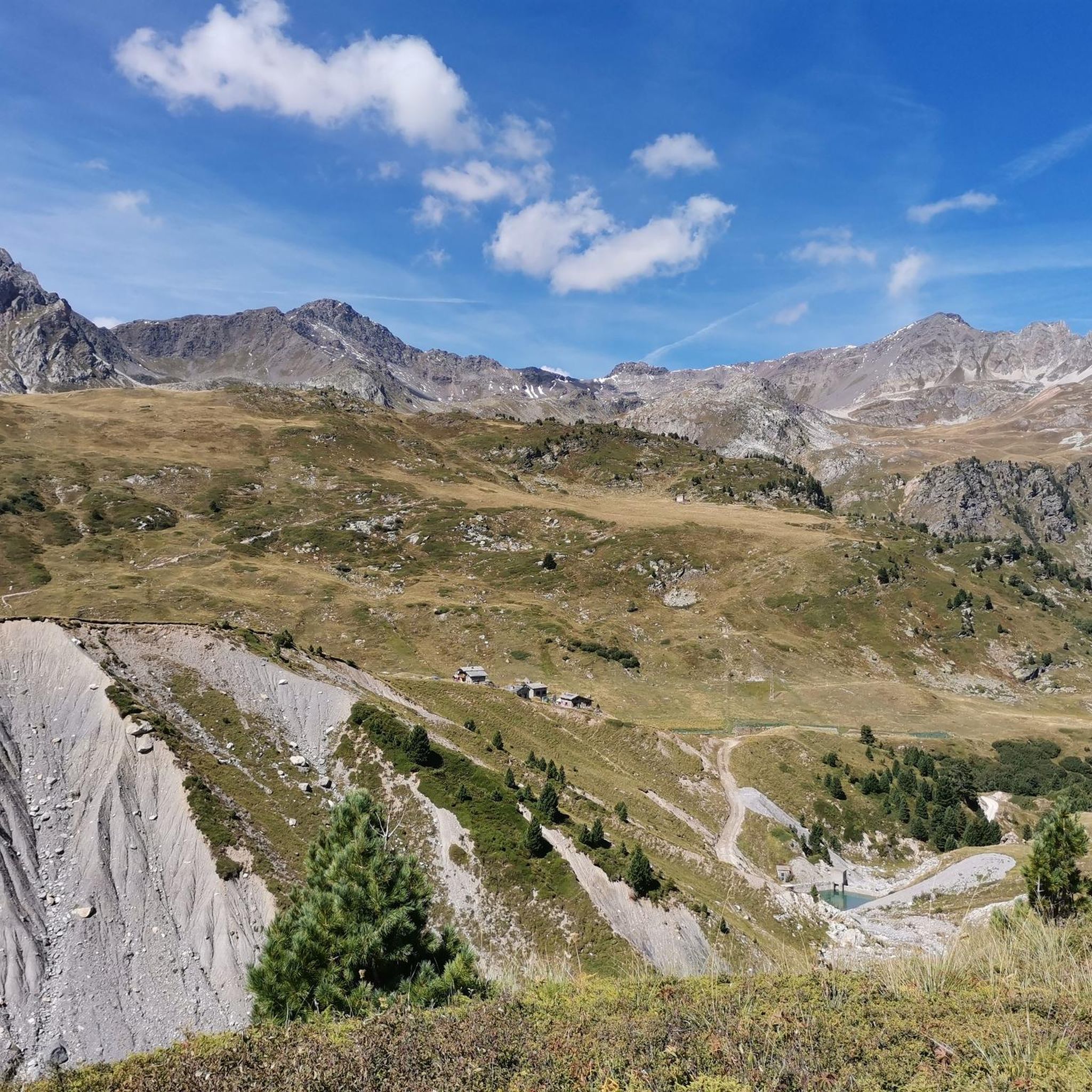
In high season, the refuge can accommodate up to 70 people. It also offers a catering service, and hikers passing through can stop simply for a drink. You will also find a drinking water point, toilets and PRM access.
0
0

It is located immediately below Lac Plan d'Amont
0
0

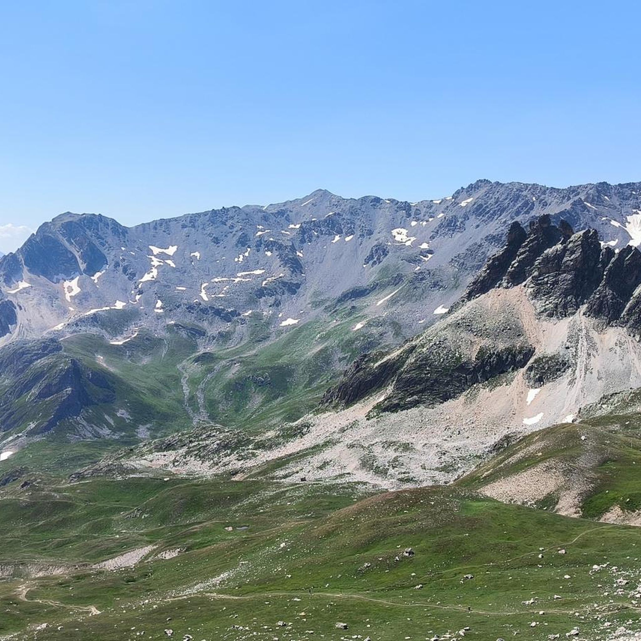
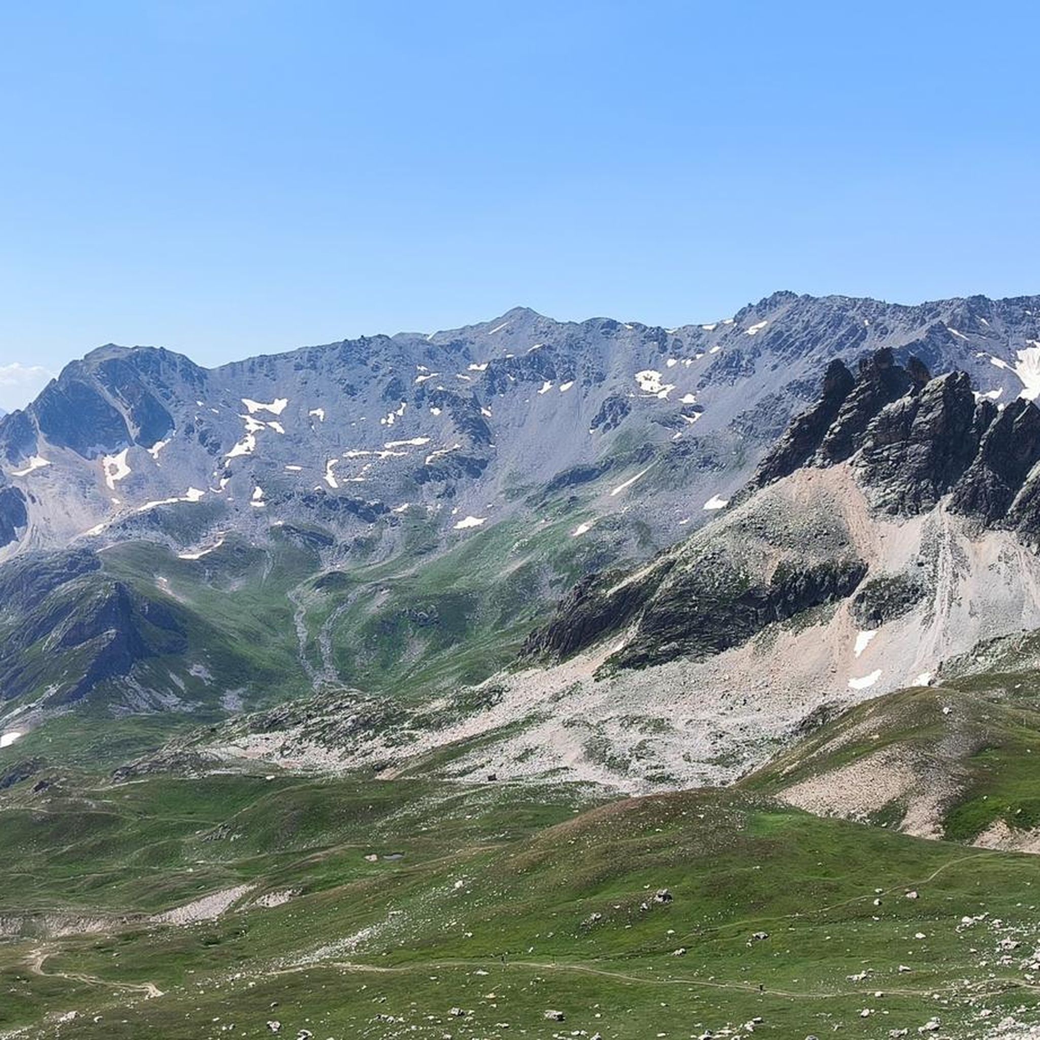
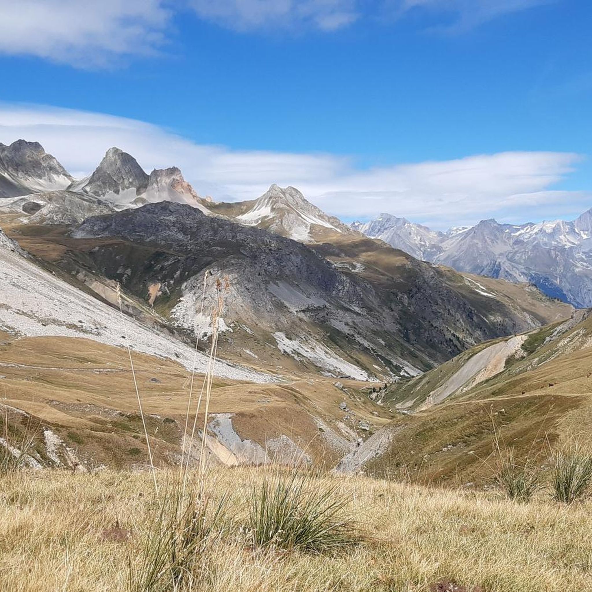
On this small balcony path, the Dent Parrachée and its 3,697 meters open up to you. Take the time to breathe and admire this majestic painting, typical of Vanoise and its mountains.
1
0

On the way there is a small unattended mountain hut
0
0
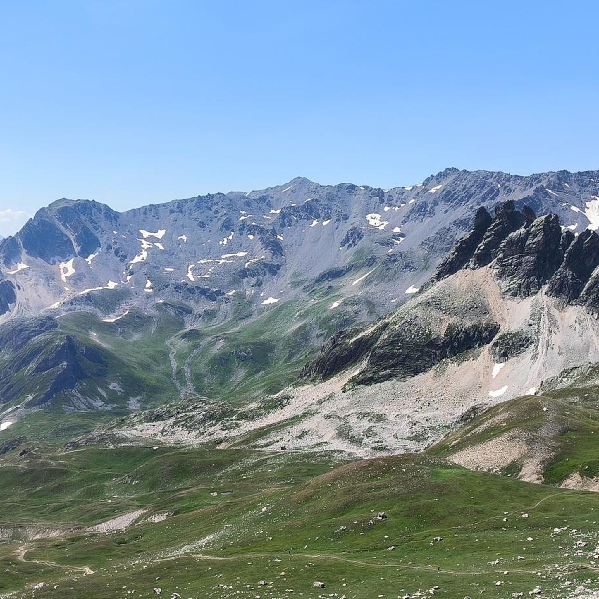
At the Col de la Masse, the ascent to the Rateau d'Aussois branches off. However, the path tracks quickly get lost in the rocky terrain and the countless cairns that are spread over the mountain flank are no help either.
0
0
Stream with a nice little waterfall
0
0
Frequently Asked Questions
How challenging are the mountaineering routes around Fourneaux?
The mountaineering routes in Fourneaux are generally challenging, characterized by significant elevation changes and high-altitude features. All routes listed, such as Plan d'Amont Reservoir – View of Plan d'Amont loop from Plan d'Amont, are rated as difficult and are best suited for experienced mountaineers.
What kind of natural features or landmarks can I expect to see on these routes?
Mountaineering routes around Fourneaux offer diverse natural features. You can expect to encounter mountain reservoirs, such as the one on the Plan d'Amont Reservoir loop, and mountain lakes like Partie Lake, featured on the Chapelle Notre-Dame-des-Neiges loop. Many routes also lead through high mountain passes, offering panoramic views, for example, the Panorama of the Dent Parachée loop which includes Col de la Masse. Nearby attractions include various mountain passes like Col des Marches and peaks such as Mount Thabor.
Are there any circular mountaineering routes available in Fourneaux?
Yes, all the featured mountaineering routes around Fourneaux are designed as loops. Examples include the Plan d'Amont Reservoir loop, the Chapelle Notre-Dame-des-Neiges – Partie Lake loop, and the Panorama of the Dent Parachée – Col de la Masse loop, allowing you to start and finish at the same point.
What is the typical duration for mountaineering tours in Fourneaux?
The duration for mountaineering tours in Fourneaux varies depending on the route and your pace. For instance, the Plan d'Amont Reservoir loop typically takes about 5 hours 42 minutes to complete, while the longer Panorama of the Dent Parachée loop can take around 7 hours 44 minutes.
Are the mountaineering routes around Fourneaux suitable for families or beginners?
Given the difficult rating and significant elevation changes of the routes, they are generally not recommended for young children or beginners. These trails are best suited for experienced mountaineers looking for a challenge. There are no easy or moderate routes listed in this guide.
Can I bring my dog on the mountaineering routes in Fourneaux?
While specific regulations for dogs on these routes are not detailed, the challenging terrain and high-altitude nature of the trails mean they may not be suitable for all dogs. It's advisable to assess your dog's fitness and experience with strenuous mountain hikes before embarking on these difficult routes.
Where can I find parking for the mountaineering trailheads?
Two of the featured routes, the Chapelle Notre-Dame-des-Neiges loop and the Panorama of the Dent Parachée loop, start from the Mont d'Ambin Base Tunnel, which likely offers parking facilities. For other routes, it's recommended to check the specific tour details on komoot for designated parking areas near the trailhead.
Is public transport available to reach the mountaineering routes in Fourneaux?
The guide data does not specify public transport options directly to the trailheads. Many mountaineering routes in such regions often require private vehicle access. It's best to check local transport services or consider driving to the starting points, such as the Mont d'Ambin Base Tunnel.
What is the best time of year for mountaineering in Fourneaux?
Mountaineering in high-altitude regions like Fourneaux is typically best during the summer months (late June to early September) when snow has melted from higher elevations and weather conditions are generally more stable. Always check local weather forecasts and trail conditions before heading out, as mountain weather can change rapidly.
What do other mountaineers say about the routes in Fourneaux?
The mountaineering routes in Fourneaux are highly rated by the komoot community, with an average score of 4.7 stars from over 10 reviews. More than 50 mountaineers have used komoot to explore the varied and challenging terrain, often praising the expansive views and the sense of accomplishment from tackling difficult ascents.
Are there any less crowded mountaineering routes in Fourneaux?
While specific data on route popularity isn't available, the region of Fourneaux is not widely documented as a major mountaineering destination. This suggests that even the popular routes like the Plan d'Amont Reservoir loop might offer a more serene experience compared to more well-known mountain areas. For the quietest experience, consider visiting during weekdays or outside of peak holiday seasons.
Are there any places to eat or stay near the mountaineering routes in Fourneaux?
While the guide focuses on the routes themselves, mountaineering areas often have refuges or small villages nearby offering amenities. For example, Rifugio Re Magi is a hut located in the vicinity of some peaks around Fourneaux, which might offer accommodation or refreshments. It's advisable to research local villages or consult specific route details for information on nearby cafes, pubs, or accommodation options.
Most popular attractions around Fourneaux

Get inspired with the komoot mobile app


Explore more
Browse the best Mountain Hikes & Routes in other regions.
