The best walks and hikes around Trittelingen-Redlach
4.6
(342)
1,931
hikers
244
hikes
Hiking trails around Trittelingen-Redlach offer a network of paths through varied terrain. The landscape is characterized by undulating hills and wooded areas, providing diverse environments for outdoor exploration. The region features routes with moderate elevation changes, making it suitable for a range of hiking abilities.
Best hiking trails around Trittelingen-Redlach
- The most popular hiking route is Maginot Line loop from Laudrefang, a 4.6 miles (7.4 km) trail that takes 2 hours 3 minutes to complete. This moderate route explores…
Last updated: July 2, 2026
5.0
(1)
10
hikers
12.7km
03:26
180m
180m
Moderate hike. Good fitness required. Easily-accessible paths. Suitable for all skill levels.
5.0
(2)
9
hikers
11.7km
03:08
140m
140m
Moderate hike. Good fitness required. Easily-accessible paths. Suitable for all skill levels.

Sign up for free
4.0
(2)
5
hikers
12.8km
03:26
150m
160m
Moderate hike. Good fitness required. Easily-accessible paths. Suitable for all skill levels.
10
hikers
6.61km
01:46
80m
80m
Easy hike. Great for any fitness level. Easily-accessible paths. Suitable for all skill levels.
4
hikers
5.53km
01:32
100m
100m
Easy hike. Great for any fitness level. Easily-accessible paths. Suitable for all skill levels.
Get access to more routes and recommendations from other explorers.
Sign up for free
Already have an account?
Our route recommendations are based on thousands of hikes, rides, and runs completed by other people on komoot.
Start today with a free account
Your next adventure awaits.
Login or Signup


Tips from the Community


Frequently Asked Questions
How many hiking trails are available around Trittelingen-Redlach?
There are over 230 hiking routes around Trittelingen-Redlach, offering a wide variety of options for different preferences and skill levels. These trails are highly rated by the komoot community, with an average score of 4.6 stars.
What is the general difficulty level of hikes in Trittelingen-Redlach?
The hiking trails around Trittelingen-Redlach primarily feature easy and moderate routes. You'll find approximately 75 easy trails and 148 moderate trails, with a smaller selection of 9 difficult routes for more experienced hikers.
Are there any easy hiking trails suitable for beginners or a relaxed walk?
Yes, there are several easy trails. For a relaxed walk, consider the Piscine Hill loop from Faulquemont. This route is 3.5 miles (5.7 km) long and takes approximately 1 hour 32 minutes to complete, featuring gentle elevation changes.
Are there circular hiking routes around Trittelingen-Redlach?
Many of the trails in the region are circular, allowing you to start and end at the same point. An example is the Maginot Line loop from Laudrefang, a moderate 4.6 miles (7.4 km) route that takes about 2 hours to complete.
What kind of landscapes can I expect to see while hiking in Trittelingen-Redlach?
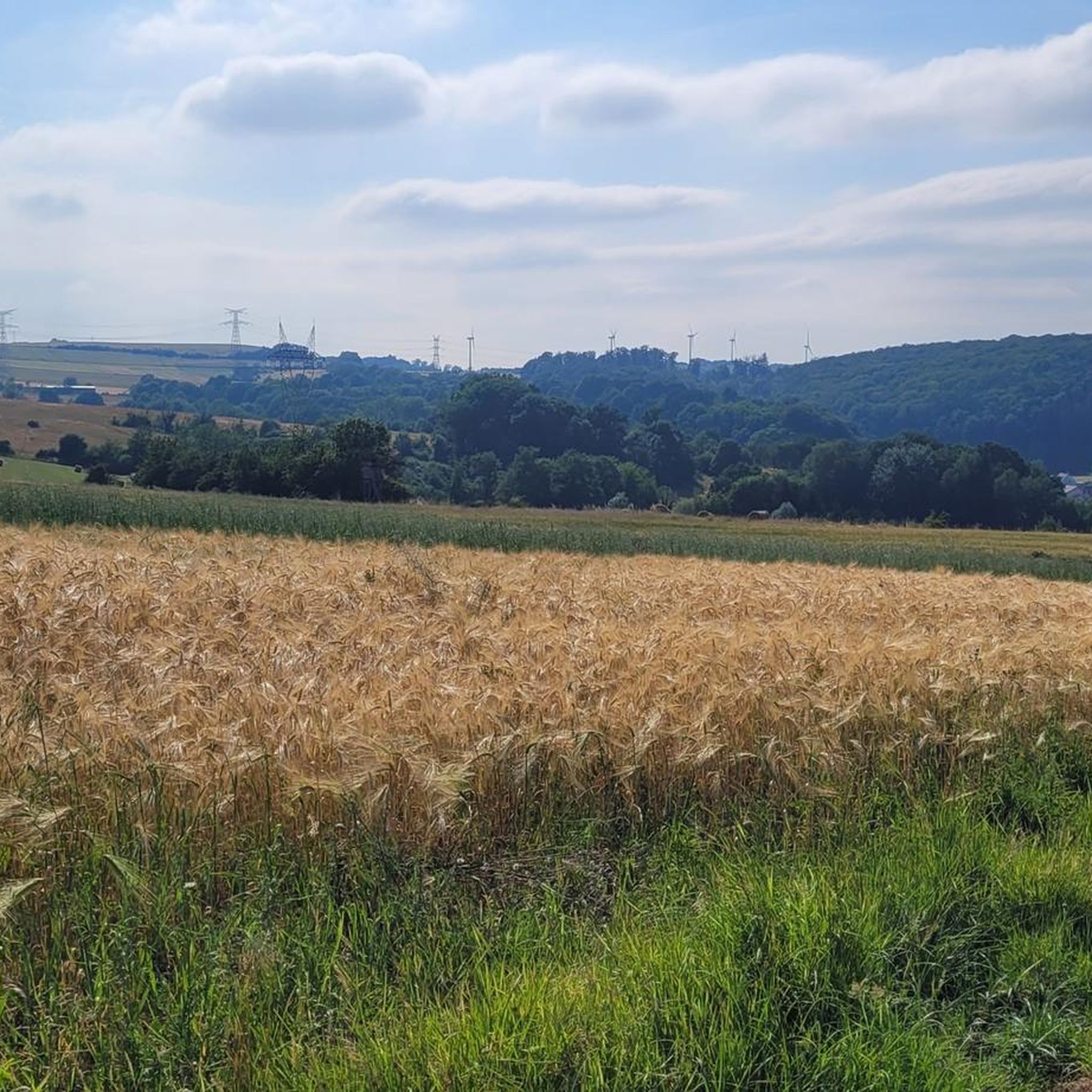
The landscape around Trittelingen-Redlach is characterized by undulating hills and wooded areas. You'll encounter a mix of wooded paths, open fields, and gentle ascents, providing diverse environments for outdoor exploration.
Are there any historical sites or landmarks to see along the hiking trails?
Yes, some trails incorporate historical points of interest. For example, the Maginot Line loop from Laudrefang explores historical sites related to the Maginot Line. Other notable landmarks in the broader area include the Lorraine American Cemetery and Memorial.
Can I find longer, more challenging hikes in the area?
For a longer, moderate hike, you might enjoy the Elvange Hiking Trail Map – Piscine Hill loop from Créhange. This trail covers 7.9 miles (12.7 km) with rolling hills and typically takes around 3 hours 26 minutes to complete.
What do other hikers say about the trails in Trittelingen-Redlach?
The trails in Trittelingen-Redlach are highly regarded by the komoot community, holding an average rating of 4.6 stars from over 250 reviews. Hikers often praise the varied terrain, well-maintained paths, and the peaceful atmosphere of the wooded areas and open fields.
Are there any trails that offer scenic viewpoints?
While specific viewpoints on individual trails are not detailed, the region's undulating hills suggest opportunities for scenic vistas. The Rocher de l’Edelweiss is a known viewpoint in the vicinity that offers panoramic views.
What is a good moderate hike to experience the varied landscapes?
The Pontpierre Chapel loop from Pontpierre is an excellent choice. This 7.9 miles (12.8 km) trail leads through diverse landscapes, including wooded sections and open areas, and typically takes about 3 hours 25 minutes.
Are there any trails that explore military history?
Yes, the Ouvrage de Bambesch – Bambesch loop from Bambiderstroff is a moderate 5.3 miles (8.6 km) hike that takes approximately 2 hours 21 minutes and explores the area around the Ouvrage de Bambesch, a historical fortification.
Most popular routes around Trittelingen-Redlach
Most popular attractions around Trittelingen-Redlach

Get inspired with the komoot mobile app


Explore more
Browse the best Hikes in other regions.
