The best walks and hikes around La Gouesnière
4.6
(3425)
22,953
hikers
393
hikes
Hiking around La Gouesnière offers diverse terrain, from coastal paths overlooking the Bay of Mont-Saint-Michel to routes along the Rance River Valley. The region is characterized by a mix of moorland, forests, and sunken lanes, providing varied landscapes for outdoor activities. Its proximity to the Emerald Coast further enhances the hiking experience with dramatic cliffs and sandy beaches. Mont Garrot, a local hill rising to 73 meters, also provides routes with descents towards the Rance.
Best hiking trails around La…
Last updated: July 5, 2026
4.0
(1)
17
hikers
Moderate hike. Good fitness required. Easily-accessible paths. Suitable for all skill levels.
5.0
(1)
21
hikers
Easy hike. Great for any fitness level. Easily-accessible paths. Suitable for all skill levels.

Sign up for free
5.0
(1)
9
hikers
12.2km
03:10
70m
70m
Moderate hike. Good fitness required. Easily-accessible paths. Suitable for all skill levels.
3.0
(2)
7
hikers
11.1km
02:47
10m
10m
Moderate hike. Good fitness required. Easily-accessible paths. Suitable for all skill levels.
5.0
(1)
21
hikers
Moderate hike. Good fitness required. Easily-accessible paths. Suitable for all skill levels.
Get access to more routes and recommendations from other explorers.
Sign up for free
Already have an account?
Our route recommendations are based on thousands of hikes, rides, and runs completed by other people on komoot.
Start today with a free account
Your next adventure awaits.
Login or Signup

Tips from the Community

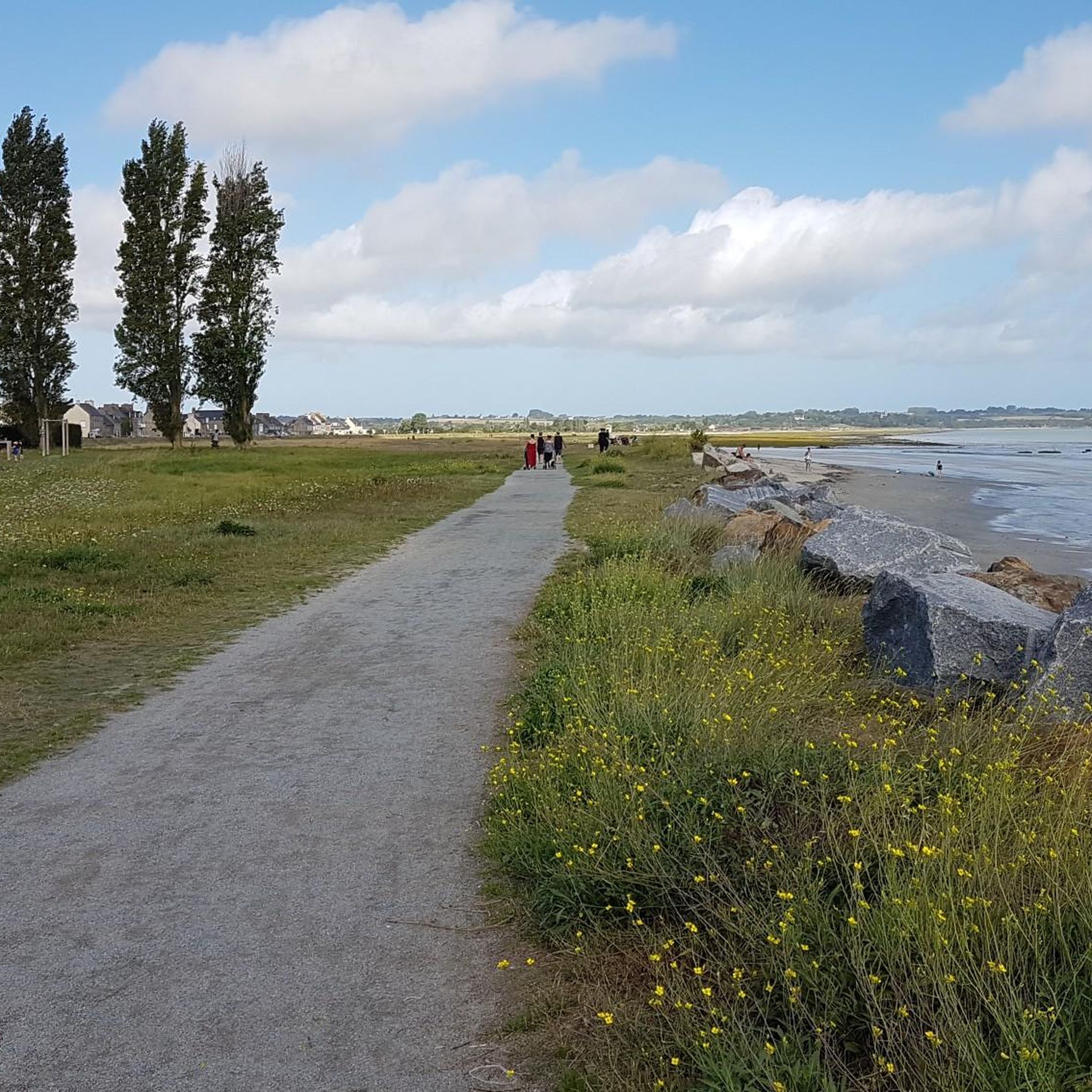
Right on the path. It's beautifully situated.
1
0
looks like it's a private residential building today.
1
0

not accessible further along the coastal path. we turned back towards the D76 (not very pleasant for driving given the traffic)
0
0

Gorgeous
0
0

Stunning Ride around the Coast to Cancale plenty of places to stop for coffee on the way from Pontorson
1
0

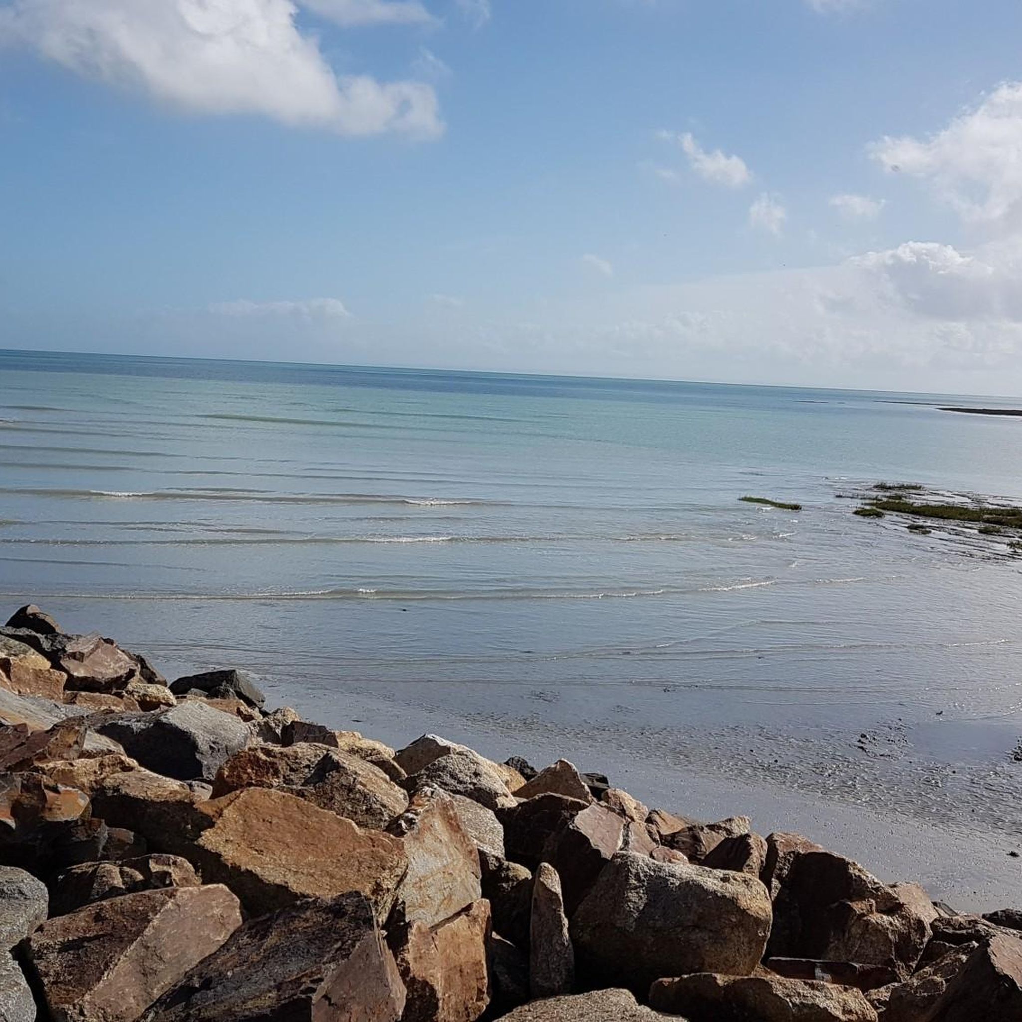
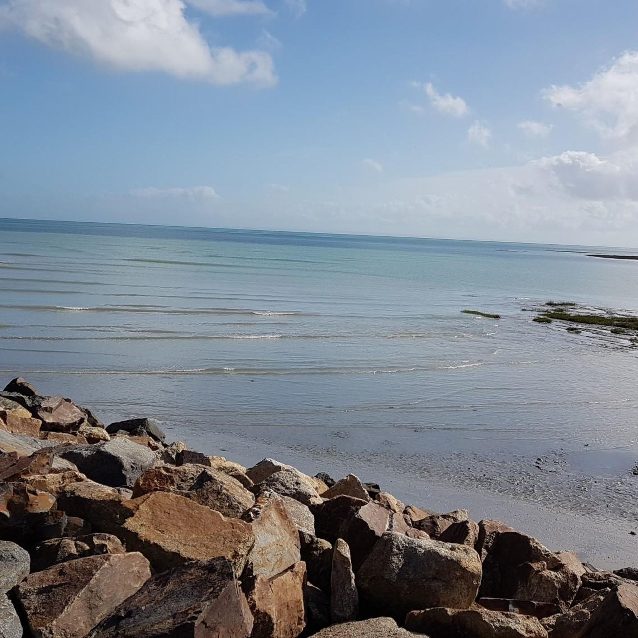
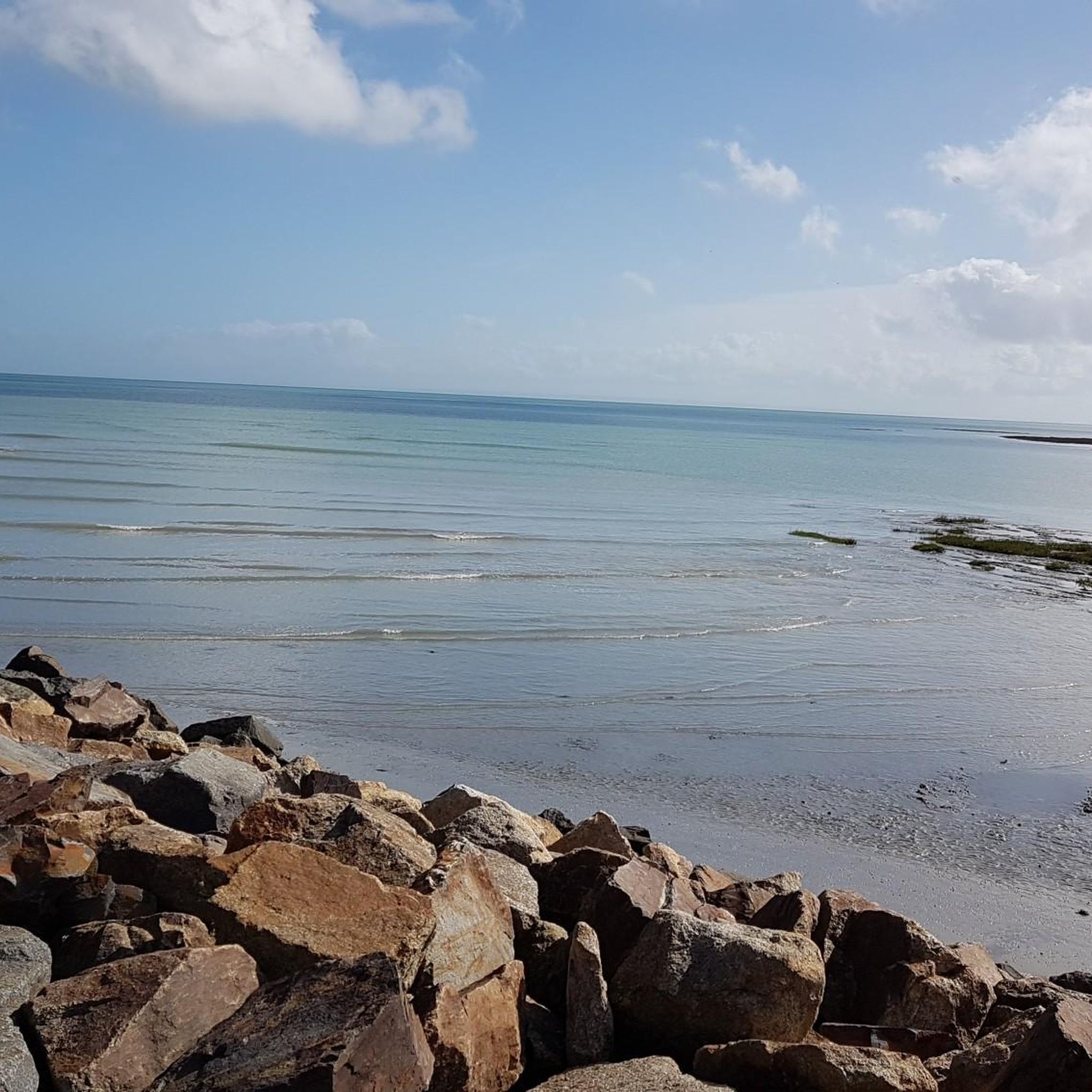
Huge sandy beach bordered by cliffs at the entrance to the granite coast. You can see the islands of Mouettes and Rimains to the north, and as far as the bay of Mont Saint-Michel to the east.
0
0

Located on the mountain bike path and the GR34, this beach is very quiet. Best at high tide for swimming because at low tide the sea retreats very far!
0
0

Mont Saint Michel Bay is known for its vast foreshores and changing seascape, where the water recedes far into the horizon at low tide. The area is popular for windsurfing and kitesurfing, which take advantage of the strong coastal winds. The bay is also a great place to observe the traditional practice of shellfish collecting, with mussel beds visible at low tide.
1
0
Frequently Asked Questions
How many hiking trails are available around La Gouesnière?
There are over 370 hiking routes around La Gouesnière, offering a wide variety of options for all skill levels. These trails explore the diverse landscapes of the region, from coastal paths to river valleys and woodlands.
What kind of terrain and difficulty levels can I expect on hikes near La Gouesnière?
The terrain around La Gouesnière is quite varied. You'll find coastal paths with views of the Bay of Mont-Saint-Michel and the Emerald Coast, trails along the Rance River Valley, and routes through moorland, forests, and sunken lanes. Difficulty levels range from easy strolls to more challenging routes, with over 200 easy, 130 moderate, and nearly 30 difficult trails available.
Are there easy hiking routes suitable for beginners or casual walkers?
Yes, La Gouesnière offers many easy hiking routes. For example, the View of Mont Saint-Michel – Shell Beach loop from Saint-Benoît-des-Ondes is an easy 5.6 km path that provides beautiful views without significant elevation changes. Many other gentle paths explore the local countryside and coastal areas.
Are there any more challenging hikes around La Gouesnière?
While many routes are moderate, the region does offer some more challenging options, particularly those that involve longer distances or more varied terrain. The area around Mont Garrot, for instance, provides routes with notable descents towards the Rance. You can find nearly 30 difficult trails in the area for a more strenuous experience.
Can I find circular hiking routes in the La Gouesnière area?
Yes, many of the hiking routes around La Gouesnière are circular, allowing you to start and end at the same point. Examples include the popular Porcon Beach – Viewpoint over Cancale loop from Saint-Benoît-des-Ondes and the Saint-Benoît-des-Ondes Beach – The Bay of Mont-Saint-Michel loop from Saint-Benoît-des-Ondes. The broader GR® de Pays: Tour du Pays Malouin also offers extensive circular options.
What natural features or viewpoints can I see on hikes around La Gouesnière?
Hiking around La Gouesnière offers stunning natural features and viewpoints. You can enjoy panoramic views of the iconic Bay of Mont-Saint-Michel, explore the scenic Rance Valley, and discover the dramatic cliffs and sandy beaches of the Emerald Coast. Notable viewpoints include Pointe du Meinga and Barbe Brûlée Point. The Bois Renou also provides tranquil forest settings.
Are there any historical landmarks or attractions along the hiking trails?
Yes, the region is rich in history. Many routes integrate local heritage, passing by historical points of interest such as the Beauchet mill, a Viking camp, and typical small villages. You can also find attractions like the Rochers Sculptés de Rothéneuf, the Saint-Malo Castle, and the Saint-Vincent Gate in nearby Saint-Malo.
What do other hikers enjoy most about hiking in La Gouesnière?
The hiking trails around La Gouesnière are highly rated by the komoot community, with an average score of 4.6 stars from over 3,400 reviews. Hikers often praise the diverse landscapes, from coastal vistas to tranquil river paths, and the well-maintained routes that cater to various abilities. The stunning views of the Bay of Mont-Saint-Michel are a particular highlight for many.
Is La Gouesnière a good destination for family-friendly hikes?
Yes, La Gouesnière is well-suited for family-friendly hikes. The abundance of easy and moderate trails, often with relatively flat terrain, makes them accessible for children. Many routes offer engaging scenery, such as coastal views or forest paths, providing an enjoyable experience for the whole family.
Are dogs allowed on the hiking trails in La Gouesnière?
Generally, dogs are welcome on many hiking trails in the La Gouesnière region, especially on public footpaths and in natural areas. However, it's always advisable to keep them on a leash, particularly in nature reserves, agricultural areas, or where livestock may be present. Specific rules might apply in certain protected areas or on private land, so look for local signage.
What is the best time of year to go hiking in La Gouesnière?
The best time to go hiking in La Gouesnière is typically from spring to early autumn (April to October). During these months, the weather is generally mild and pleasant, making for comfortable walking conditions. Spring brings blooming wildflowers, while autumn offers beautiful foliage. Summer can be popular, but coastal breezes often keep temperatures comfortable.
Are there options for public transport to access hiking trails near La Gouesnière?
While La Gouesnière itself is a smaller commune, the broader Ille-et-Vilaine region has public transport options that can connect you to various starting points for hikes. Regional buses serve some of the nearby towns and villages, which can provide access to trailheads. For specific routes, it's recommended to check local bus schedules for connections from larger hubs like Saint-Malo.
Where can I find parking for hiking trails in La Gouesnière?
Parking is generally available in and around the villages and towns that serve as starting points for hikes. Many trailheads, especially for popular routes, will have designated parking areas. For example, an easy route mentioned in the region research starts from the Bonaban bar parking lot. It's always a good idea to check specific route details for parking information before you go.
Most popular routes around La Gouesnière
Most popular attractions around La Gouesnière

Get inspired with the komoot mobile app


Explore more
Browse the best Hikes in other regions.
