The best running trails around Saint-Pierre-Toirac
4.4
(21)
770
runners
95
runs
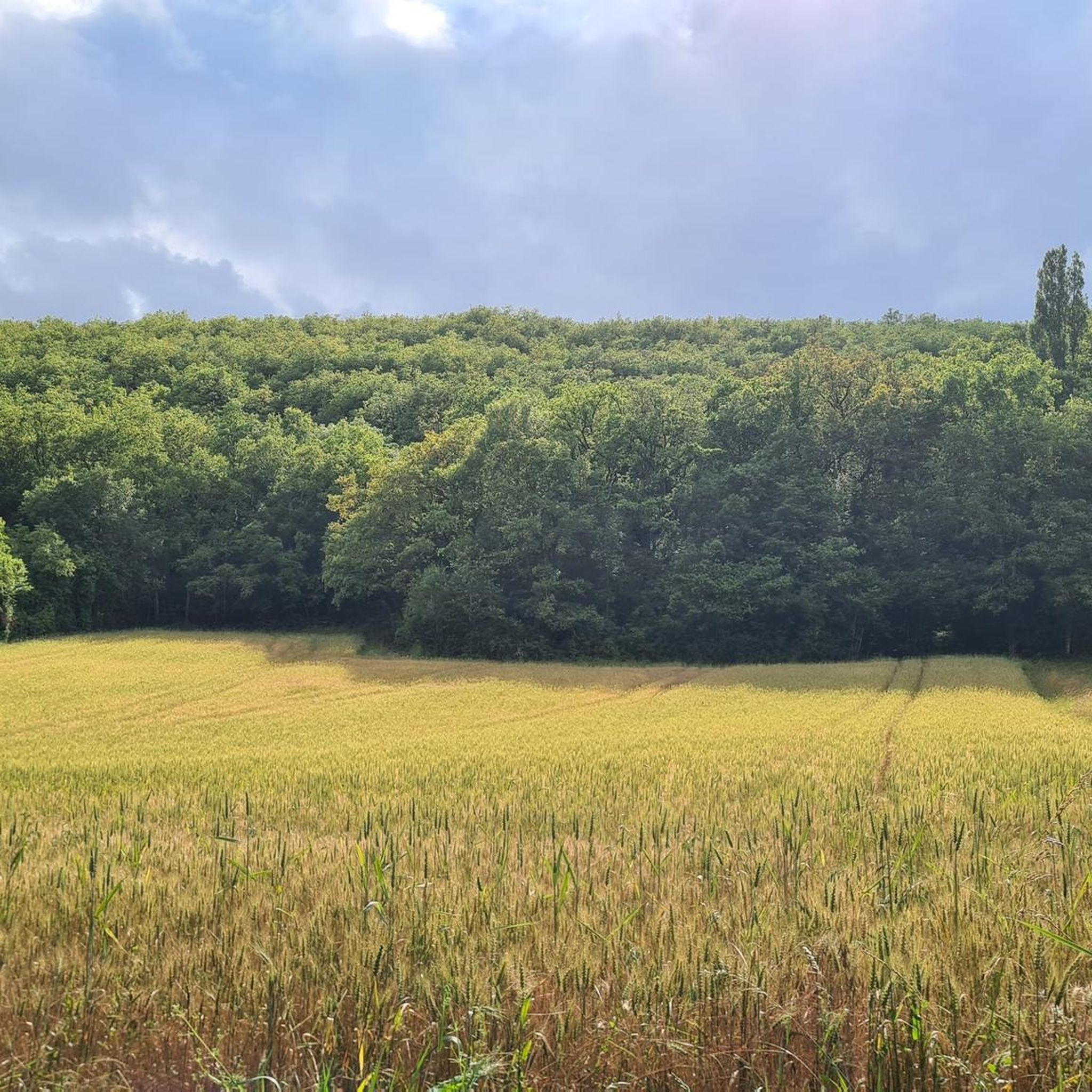
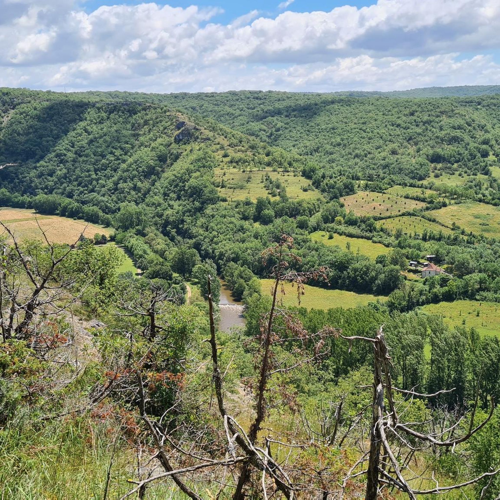
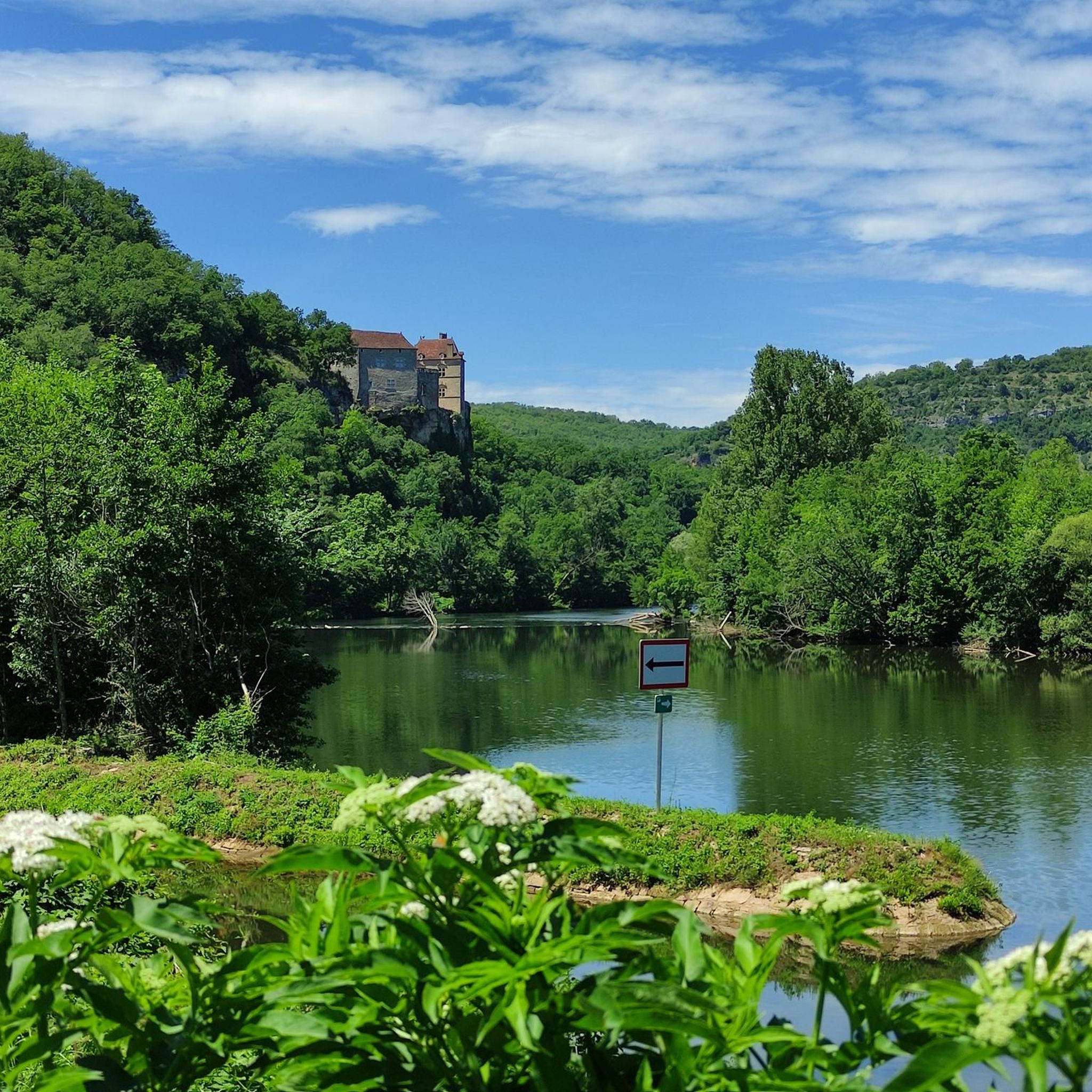
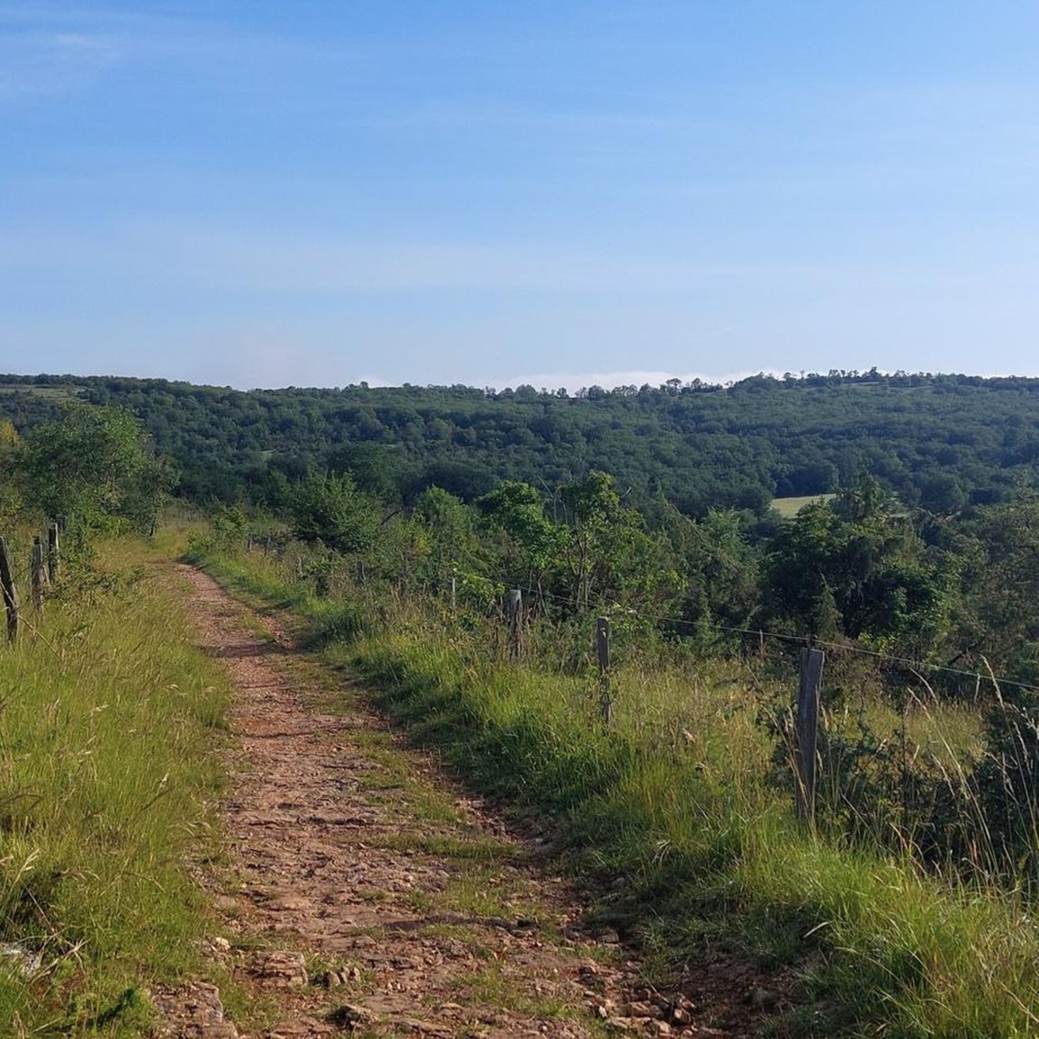
Jogging around Saint-Pierre-Toirac offers diverse terrain within the Lot Valley, characterized by limestone plateaus of the Causses du Quercy and the verdant Limargue valleys. The region features varied landscapes, including river meanders, cliffs, dry grasslands, and oak and boxwood forests, providing numerous running trails Saint-Pierre-Toirac. Altitude variations from 153m to 375m introduce natural inclines and declines, adding challenge and variety to running routes.
Best jogging routes around Saint-Pierre-Toirac
- The most popular jogging route is Marre de camboulan – Ancien Lavoir…
Last updated: October 15, 2026
5.0
(1)
27
runners
18.7km
02:24
530m
530m
Hard run. Very good fitness required. Mostly paved surfaces. Suitable for all skill levels.
5.0
(2)
7
runners
8.97km
00:58
110m
110m
Moderate run. Good fitness required. Mostly paved surfaces. Suitable for all skill levels.

9
runners
12.1km
01:31
340m
340m
Hard run. Very good fitness required. Mostly paved surfaces. Suitable for all skill levels.
4
runners
17.3km
02:02
280m
280m
Hard run. Very good fitness required. Mostly accessible paths. Some sure footedness required.
6
runners
11.1km
01:22
290m
290m
Moderate run. Good fitness required. Mostly paved surfaces. Suitable for all skill levels.
Get access to more routes and recommendations from other explorers.
Already have an account?
Our route recommendations are based on thousands of hikes, rides, and runs completed by other people on komoot.
Start today with a free account
Your next adventure awaits.

Tips from the Community

Wash house of Balaguier d'olt in the village completely renovated after an accident.
1
0

Beauty in stone flower" summarizes the village on the cliff. Two large villages composed, Faycelles and the Mas du Noyer, and are complemented by numerous hamlets. The town has about 650 inhabitants. There are six more farms, most facing milk production from cows , the largest number of people working on the Figeacois
3
0
Faycelles is a municipality in the French department of Lot and has 600 inhabitants. The place is part of the Figeac district.
3
1

It's pretty, we pass there nevertheless without lingering.
1
1

Located between the two valleys of Lot and Célé, the village of Faycelles dominates them both, offering sumptuous views! This village is a stopover between Figeac and Cajarc, on the way from Puy to Compostela, included on the UNESCO world heritage list. Painters have settled in Faycelles and in season you can discover their workshops.
5
1

In the 14th century, the population of Faycelle was so decimated by the plague, the Hundred Years War and the periods of deprivation that in 1394, there were practically no more inhabitants in the village. From the 15th century onwards, the population grew steadily again and exceeded 1000 inhabitants for the first time in 1785. In 1840, the peak was finally reached with 1241 inhabitants. From there, the curve fell again. Because of the peranospera, viticulture had to be abandoned and the population fell to 824 inhabitants in 1911. Then comes the 1st World War in which Faycelle must also pay a heavy price. 38 young men and fathers did not return from the war. The mechanization of agriculture then contributed to a constant decrease in the number of inhabitants, which finally reached 463 in 1968. A successful recovery was then initiated, based on tourism and new settlements. In 2014, Faycelle again had 650 inhabitants.
4
1
Frequently Asked Questions
How many running routes are available around Saint-Pierre-Toirac?
There are over 95 running routes in the Saint-Pierre-Toirac area, offering a wide range of options for different skill levels and preferences. These include easy, moderate, and difficult trails.
What kind of terrain can I expect on the jogging trails in Saint-Pierre-Toirac?
The terrain is quite varied, reflecting the diverse landscapes of the region. You'll find paths traversing the limestone plateaus of the Causses du Quercy, verdant valleys of the Limargue, and routes along the peaceful Lot River. Expect a mix of dry grasslands, oak and boxwood forests, and natural meadows, with altitude variations from 153m to 375m adding natural inclines and declines.
Are there any easy running routes for beginners in Saint-Pierre-Toirac?
Yes, the area offers a few easy running routes perfect for beginners or those looking for a more relaxed pace. While the majority are moderate or difficult, you can find options that allow you to enjoy the scenery without significant challenge.
What do other runners say about the trails in Saint-Pierre-Toirac?
The running routes in Saint-Pierre-Toirac are highly rated by the komoot community, with an average score of 4.5 stars from around 15 reviews. Runners often praise the varied landscapes, the quiet environment, and the opportunity to explore both natural beauty and historical charm.
Can I find circular running routes in Saint-Pierre-Toirac?
Yes, many of the running routes around Saint-Pierre-Toirac are designed as loops, allowing you to start and finish at the same point. For example, the Lavoir de Balaguier-d'Olt loop from Frontenac is a popular moderate circular path offering views of the Lot Valley.
Are there any scenic viewpoints or natural features to see while running?
Absolutely. The region is rich in natural beauty. You can enjoy remarkable panoramas of the Lot Valley, including its meanders and cliffs. The nearby Célé River also offers a 'secret valley' with striking color contrasts. The Causses du Quercy, a UNESCO World Geopark, provides views of dry grasslands and diverse flora. Consider the Nice caselle 🤍 – Chemin du Causse loop from Faycelles for a scenic experience.
Are there any historical landmarks or attractions along the running routes?
Yes, the area blends natural beauty with historical charm. While running, you might encounter traditional dry-stone shelters known as 'cazelles,' or pass through ancient medieval towns with narrow streets, old stone houses, and fortified churches. The village itself features a beautiful fortified Romanesque church. You can also explore nearby historical sites like Faycelles or Larroque-Toirac.
What is the elevation gain like on the running trails?
The trails in Saint-Pierre-Toirac feature varied elevation gains due to the region's natural inclines and declines, ranging from 153m to 375m in altitude. For instance, the challenging Marre de camboulan – Ancien Lavoir loop from Montsalès has an elevation gain of over 530 meters, while moderate routes like the Lavoir de Balaguier-d'Olt loop from Frontenac have around 260 meters of ascent.
Are there any specific trails that highlight the 'cazelles'?
Yes, around the village, there is a recently opened and marked hiking trail known as the 'circuit of the 15 cazelles.' This 6.5 km trail allows visitors to discover more than 15 of these traditional dry-stone shelters and can be adapted for jogging to explore this unique cultural feature.
Is Saint-Pierre-Toirac a good place for trail running?
Absolutely. With its diverse landscapes, including the limestone plateaus of the Causses du Quercy and the verdant Limargue valleys, Saint-Pierre-Toirac offers excellent opportunities for trail running. The varied terrain, from dry grasslands to wooded slopes, provides both challenge and scenic beauty for an engaging trail running experience.
Are the running routes suitable for families?
While many routes offer varied terrain, there are easier sections and shorter loops that can be suitable for families looking to enjoy a gentle run or walk together. It's advisable to check the difficulty and length of specific routes to ensure they match your family's fitness levels.
Where can I find parking for the running routes?
As Saint-Pierre-Toirac is a village, parking is generally available within or near the village center, often close to trailheads. Many routes, being loops, start and end in accessible locations where you can typically find a place to park your vehicle before heading out.
Most popular routes around Saint-Pierre-Toirac
Most popular attractions around Saint-Pierre-Toirac

Get inspired with the komoot mobile app


Explore more
Browse the best Running Trails & Routes in other regions.
