The best walks and hikes around Arcey
4.3
(235)
907
hikers
121
hikes
Hiking around Arcey offers a network of trails suitable for various skill levels. The landscape is characterized by gentle rolling terrain and woodlands, with routes often passing by local ponds and historical features. These paths provide opportunities to explore the rural environment and enjoy the outdoors. The area's low elevation gains make many routes accessible for casual walks.
Best hiking trails around Arcey
- The most popular hiking route is Étang des Princes — loop from Semondans, a 3.7 miles…
Last updated: July 4, 2026
4.3
(4)
9
hikers
5.97km
01:40
110m
110m
Easy hike. Great for any fitness level. Easily-accessible paths. Suitable for all skill levels.
3.8
(5)
19
hikers
7.41km
01:56
60m
60m
Easy hike. Great for any fitness level. Easily-accessible paths. Suitable for all skill levels.

Sign up for free
4.7
(3)
15
hikers
8.39km
02:20
150m
150m
Moderate hike. Good fitness required. Easily-accessible paths. Suitable for all skill levels.
4.0
(3)
7
hikers
3.71km
01:00
50m
40m
Easy hike. Great for any fitness level. Easily-accessible paths. Suitable for all skill levels.
8
hikers
2.20km
00:34
20m
20m
Easy hike. Great for any fitness level. Easily-accessible paths. Suitable for all skill levels.
Get access to more routes and recommendations from other explorers.
Sign up for free
Already have an account?
Our route recommendations are based on thousands of hikes, rides, and runs completed by other people on komoot.
Start today with a free account
Your next adventure awaits.
Login or Signup


Tips from the Community

Very beautiful cave to see at the bend in the main path near Villers sous Saulnot
0
0

There you will take an intimate walk through the forest using tunnels made of trees. You can take a forest bath and enjoy the sound of the trees in the wind and the surrounding wildlife.
2
0
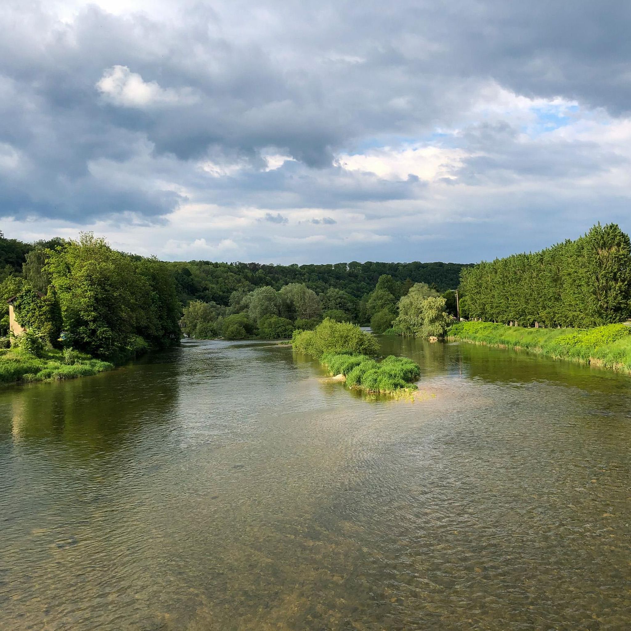
If you're looking for a peaceful, scenic hike in the countryside, you can visit the Étang des Princes, a series of ponds that were once part of the Duchy of Montbéliard. You can admire the changing colors of the trees and the reflections of the water as you walk around the ponds.
2
1
The St Julien washhouse is a historic fountain-washhouse-watering trough, located in the center of the village of Saint-Julien-Lès-Montbéliard. You will be able to admire the architecture and history of this site which dates back to the 12th century. You can also enjoy the greenery and old stones of the village, which has a temple on the heights and a rural charm.
2
1

The cave is now called Réseau de la Sapoise.
0
1
The first written mention of the Baume de Gonvillars comes from 1833. The difference in altitude within the cave is only about 42 meters over almost 6 kilometers explored.
0
1

Landscape changing with the seasons
0
0
Beautiful stones. Worth a visit if you have some time
0
0
Frequently Asked Questions
How many hiking trails are available around Arcey?
Arcey offers a wide selection of hiking routes, with over 119 trails recorded on komoot. This includes a good mix of difficulties, ensuring there's something for every hiker.
What is the typical terrain and difficulty level of hikes in Arcey?
The hiking trails around Arcey are characterized by gentle rolling terrain and woodlands. Many routes pass by local ponds and historical features. The majority of trails are classified as easy (60 routes) or moderate (56 routes), with only a few (3 routes) considered difficult, making the area accessible for various skill levels.
Are there family-friendly hiking options in Arcey?
Yes, Arcey is well-suited for family outings. The area's low elevation gains and gentle terrain mean many routes are accessible for casual walks with children. For example, the Étang des Princes — loop from Semondans is an easy, shorter trail perfect for families.
Can I hike with my dog in Arcey?
While specific regulations for dogs on trails in Arcey are not detailed, generally, dogs are welcome on many trails in rural France, often on a leash. It's always advisable to check local signage at trailheads for any specific restrictions or requirements.
What notable natural features or landmarks can I see on the trails around Arcey?
Many trails in Arcey feature local ponds, such as the Princes' Pond, which is central to routes like the Lavoir de St Julien – Princes' Pond loop from Sainte-Marie. You might also encounter historical features like the Lavoir de St Julien. For broader exploration, nearby attractions include the settlement of L'Isle-sur-le-Doubs and the Mont Vaudois Fort.
What do other hikers say about the trails in Arcey?
The hiking routes in Arcey are highly rated by the komoot community, with an average score of 4.4 stars from over 190 reviews. Hikers often praise the quiet woodlands, well-maintained rural paths, and the scenic beauty of the local ponds.
Are there circular hiking routes available in Arcey?
Yes, many of the popular trails around Arcey are circular, offering convenient starting and ending points. Examples include the Étang des Princes — loop from Semondans and the Lavoir de St Julien loop from Saint-Julien-lès-Montbéliard.
What is the best time of year to go hiking in Arcey?
Given the gentle terrain and woodlands, hiking in Arcey is enjoyable across multiple seasons. Spring and autumn offer pleasant temperatures and beautiful foliage, while summer provides longer daylight hours. Winter hiking is also possible, though conditions may vary.
Is parking available at the trailheads in Arcey?
While specific parking details for every trailhead are not provided, as a rural area, parking is generally available in or near the villages where many routes begin, such as Semondans or Saint-Julien-lès-Montbéliard. Look for designated parking areas or suitable roadside spots.
How can I reach the hiking trails in Arcey using public transport?
Arcey is a commune in a rural area, so public transport options directly to trailheads might be limited. It's advisable to check local bus schedules for connections to Arcey or nearby villages from larger towns like Montbéliard. Driving to the starting points is often the most convenient option.
Are there any cafes or places to eat near the hiking trails in Arcey?
Arcey and its surrounding villages offer local amenities where you might find cafes or small restaurants. It's a good idea to check in advance for opening hours, especially in smaller communes, or consider packing a picnic to enjoy amidst the natural scenery.
Are there any longer or more challenging hikes for experienced hikers in Arcey?
While Arcey is known for its easy to moderate trails, there are a few routes classified as difficult for those seeking more of a challenge. The Lavoir de St Julien loop from Saint-Julien-lès-Montbéliard, for example, is a moderate 5.2-mile trail with a bit more elevation gain, offering a good workout.
Most popular attractions around Arcey

Get inspired with the komoot mobile app


Explore more
Browse the best Hikes in other regions.
