The best walks and hikes around Saint-Michel-Loubéjou
4.6
(751)
4,068
hikers
172
hikes
Hiking around Saint-Michel-Loubéjou, located in the Lot department of France, offers diverse landscapes for outdoor exploration. The region is characterized by limestone plateaus known as causses, the scenic Dordogne Valley, and dramatic cliff formations such as the Cirque d'Autoire. Trails navigate varied terrain, from the plains of the Bave to more rugged, canyon-like areas, providing a range of hiking experiences.
Best hiking trails around Saint-Michel-Loubéjou
- The most popular hiking route is On the Lands of the Barons of Castelnau, a 4.8 miles (7.8 km) trail that takes 2 hours 9 minutes to complete. This moderate route offers views of the Château de Castelnau-Bretenoux.
- Another top favourite among local hikers is Loubressac Village – The English Castle of Autoire loop from Prudhomat, a difficult 11.5 miles (18.6 km) path. This trail connects two "Most Beautiful Villages in France" and explores the area around the Cirque d'Autoire.
- Local hikers also love the Castelnau-Bretenoux Castle – Chateau de Castelnaud loop from Bretenoux, a 4.2 miles (6.8 km) trail leading through the area surrounding the historic castles, often completed in about 1 hour 51 minutes.
- Hiking around Saint-Michel-Loubéjou is defined by limestone plateaus, river valleys, and dramatic cliffs. The network offers options for various ability levels, from easy walks to more challenging routes.
- The routes in Saint-Michel-Loubéjou are highly rated by the komoot community with an average score of 4.6 stars from over 680 reviews. More than 3700 hikers have used komoot to explore Saint-Michel-Loubéjou's varied terrain.
Last updated: July 2, 2026
4.7
(13)
62
hikers
7.76km
02:09
150m
150m
Hike 4.8 miles (7.8 km) on the Lands of the Barons of Castelnau, a moderate trail with stunning views of Château de Castelnau-Bretenoux.
5.0
(7)
37
hikers
18.7km
05:22
380m
380m
Hard hike. Very good fitness required. Mostly accessible paths. Sure-footedness required.

Sign up for free
4.7
(3)
15
hikers
10.5km
02:53
170m
170m
Moderate hike. Good fitness required. Easily-accessible paths. Suitable for all skill levels.
4.3
(3)
12
hikers
25.2km
07:04
470m
470m
Hard hike. Very good fitness required. Easily-accessible paths. Suitable for all skill levels.
3.5
(2)
8
hikers
Easy hike. Great for any fitness level. Easily-accessible paths. Suitable for all skill levels.
Get access to more routes and recommendations from other explorers.
Sign up for free
Already have an account?
Our route recommendations are based on thousands of hikes, rides, and runs completed by other people on komoot.
Start today with a free account
Your next adventure awaits.
Login or Signup


Tips from the Community

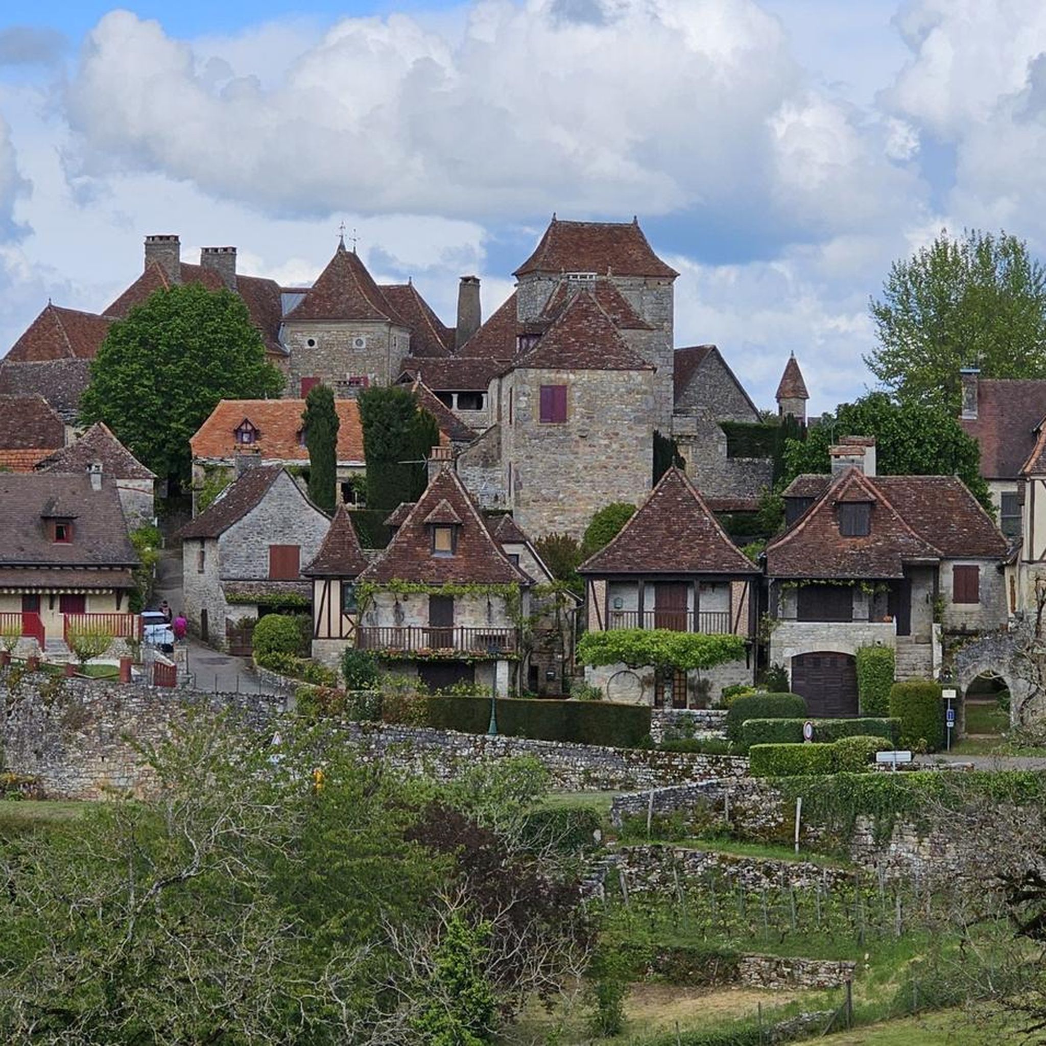
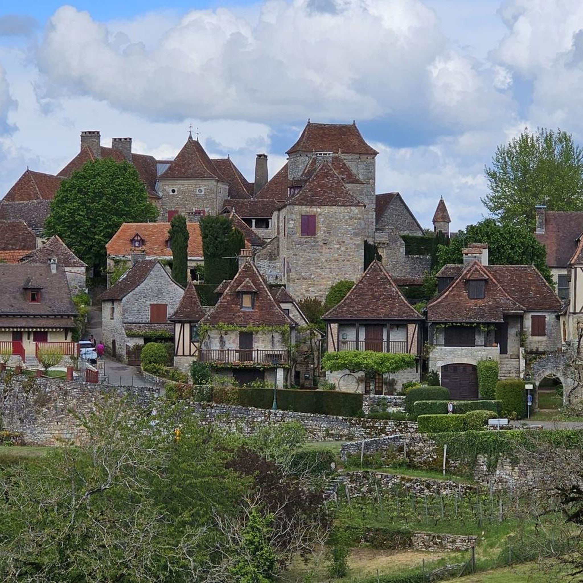
It is one of the 11 most beautiful villages in the region and is adorned with flowers. The small village is a quick walk. The free parking area for motorhomes is about 500 meters outside of the village. Car parking is available just before the end of the village.
1
0
Starting from Autoire, you can enjoy a wonderful hike with a canyon character.
1
0
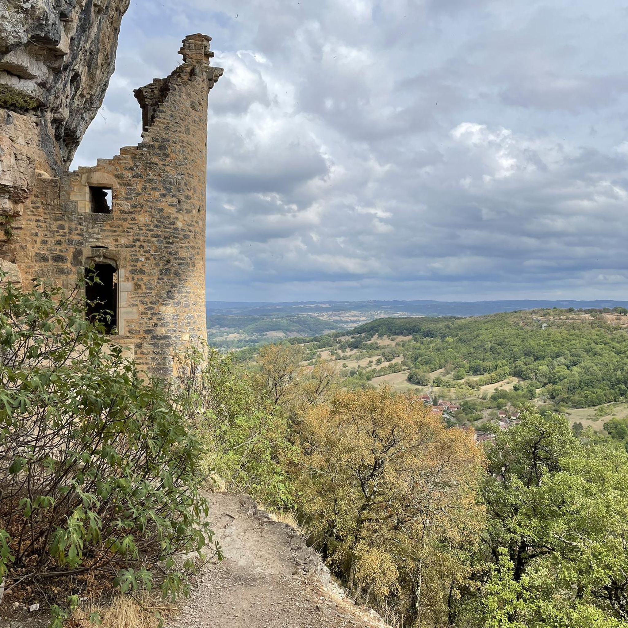
A beautiful castle in this small village - simply magnificent and enchanting with its architectural style.
1
0
Beautiful, partly alpine trail – hiking boots are recommended. The trail sometimes involves stairs.
1
0
The small village has a very special charm.
1
0
Fantastic hike with magnificent views in a small canyon.
1
0

Leaving Bretenoux, we pass through this shaded section, among the trees, before cycling through the surrounding fields.
0
0

Frequently Asked Questions
How many hiking trails are available around Saint-Michel-Loubéjou?
There are over 150 hiking trails around Saint-Michel-Loubéjou, offering a wide variety of options for different skill levels and preferences. This includes 68 easy routes, 81 moderate routes, and 8 more challenging trails.
What kind of landscapes and terrain will I encounter on hikes in this region?
The region around Saint-Michel-Loubéjou features diverse landscapes. You'll find limestone plateaus known as 'causses' with their open, rocky terrains, the scenic Dordogne Valley with paths along the river, and dramatic cliff formations like the Cirque d'Autoire. Trails also navigate varied terrain, from the expansive plains of the Bave to more rugged, canyon-like areas.
Are there any family-friendly hiking options in Saint-Michel-Loubéjou?
Yes, the area offers numerous easy routes suitable for families. For instance, the Castelnau-Bretenoux Castle – Chateau de Castelnaud loop from Bretenoux is an easy 4.2-mile (6.8 km) trail that takes about 1 hour 51 minutes, perfect for a pleasant family outing.
Can I bring my dog on the hiking trails around Saint-Michel-Loubéjou?
Many trails in the Saint-Michel-Loubéjou area are dog-friendly, but it's always recommended to keep your dog on a leash, especially in nature reserves, near livestock, or in areas with wildlife. Always check local signage for specific regulations on individual trails.
What are some notable natural features or viewpoints to see while hiking?
Hikers can explore the dramatic Cirque d'Autoire, a natural amphitheater of cliffs with a stunning waterfall, the Autoire Waterfall. The region also offers scenic views of the Dordogne Valley and the unique landscapes of the 'causses'. You might also spot the Swallow Colony at the Cliff.
Are there any historical landmarks or castles visible from the hiking routes?
Absolutely. Many trails offer views of significant historical sites. The imposing Château de Castelnau-Bretenoux is a prominent feature on several routes, such as On the Lands of the Barons of Castelnau. You can also explore charming villages like Loubressac Village and Autoire, both recognized as 'Most Beautiful Villages in France'.
What is the best time of year to go hiking in Saint-Michel-Loubéjou?
The spring and autumn months generally offer the most pleasant hiking conditions with mild temperatures and beautiful scenery. Spring brings blooming wildflowers, while autumn showcases vibrant foliage. Summer can be warm, making early morning or late afternoon hikes preferable, especially for longer routes.
Are there any circular hiking routes available?
Yes, many of the trails around Saint-Michel-Loubéjou are circular, allowing you to start and end at the same point. An example is The vineyards of Glanes loop from Bretenoux, a moderate 7.6-mile (12.2 km) route.
What do other hikers enjoy most about the trails in Saint-Michel-Loubéjou?
The hiking trails in Saint-Michel-Loubéjou are highly rated by the komoot community, with an average score of 4.6 stars from over 680 reviews. Hikers often praise the varied terrain, the stunning views of castles and natural features, and the well-maintained paths that cater to different ability levels.
Are there any challenging long-distance hikes in the area?
For experienced hikers seeking a challenge, there are more difficult and longer routes. The Chateau de Castelnaud – Loubressac Village loop from Bretenoux is a difficult 15.8-mile (25.5 km) trail that offers extensive exploration of the region's landscapes and villages.
Is there public transport access to trailheads near Saint-Michel-Loubéjou?
While Saint-Michel-Loubéjou is a rural area, some trailheads may be accessible via local bus services, though these are often infrequent. For maximum flexibility, driving to trailheads is generally recommended. Always check local transport schedules in advance if you plan to rely on public transport.
What is the nearest major natural attraction that can be combined with a hike?
The renowned Gouffre de Padirac, a spectacular cave system, is located approximately 9 kilometers from Saint-Michel-Loubéjou. While not a hiking feature itself, it makes for an excellent complementary attraction to visit after a day on the trails.
Most popular routes around Saint-Michel-Loubéjou
Most popular attractions around Saint-Michel-Loubéjou

Get inspired with the komoot mobile app


Explore more
Browse the best Hikes in other regions.
