The best walks and hikes around Marignac-Lasclares
4.4
(63)
365
hikers
36
hikes
Hiking around Marignac-Lasclares offers diverse terrain, characterized by a blend of open plains and rolling hillsides. The area features significant wooded sections, including a large communal forest, providing shaded paths and immersion in nature. The St-Martory Canal also adds waterside paths to the landscape, while the region's proximity to the Massif des Petites Pyrénées and the Massif du Plantaurel contributes to varied elevation and views.
Best hiking trails around Marignac-Lasclares
- The most popular hiking route is Violet trail loop from…
Last updated: June 28, 2026
4.6
(5)
37
hikers
10.8km
02:54
120m
120m
Moderate hike. Good fitness required. Easily-accessible paths. Suitable for all skill levels.
4.7
(9)
37
hikers
6.46km
01:53
170m
170m
Easy hike. Great for any fitness level. Easily-accessible paths. Suitable for all skill levels.

Sign up for free
5.0
(2)
6
hikers
9.70km
02:36
120m
120m
Moderate hike. Good fitness required. Easily-accessible paths. Suitable for all skill levels.
5.0
(1)
5
hikers
7.04km
01:50
50m
50m
Easy hike. Great for any fitness level. Easily-accessible paths. Suitable for all skill levels.
3
hikers
3.21km
00:49
0m
0m
Easy hike. Great for any fitness level. Easily-accessible paths. Suitable for all skill levels.
Get access to more routes and recommendations from other explorers.
Sign up for free
Already have an account?
Our route recommendations are based on thousands of hikes, rides, and runs completed by other people on komoot.
Start today with a free account
Your next adventure awaits.
Login or Signup



Tips from the Community

CAUTION: tarmac and therefore a lot of gravel on the D15 when going down to MERIGON (09)
0
0

A very pretty hike, accessible and with beautiful viewpoints over the rolling countryside and our Pyrenees range
0
0

Superb village, crossed with a morning mist of the most beautiful effect.
0
0

nice tour to experience culture in Rieu
0
0

The climb from the banks of the Garonne towards Madale offers lovely views of Carbonne.
0
0

very beautiful church in a neighborhood with a medieval atmosphere
0
1

The detour via Rieux-Volvestre is unmissable, whether to try and spot the Papogay or to stop in front of its cathedral. The village is located in a meander of the Arize, on the Via Garona path, a secondary route to Santiago de Compostela. It is very pretty, with its half-timbered houses. It is notably known for having hosted the trial of the Martin Guerre affair in 1560. It is known for its Cathedral of the Nativity of Mary and its episcopal treasury. It is an imposing building, 43 m high, with turrets and loopholes, located on the banks of the Arize. And finally, it is known for its Papogay, the festival of which takes place on the first Sunday of May. This tradition dates back to the Hundred Years' War and more precisely to a French defeat after which King Charles realized the superiority of English archers (imagine Brexit at the time...). He ordered more training in this discipline. At the end of the 16th century, a Company of Knights reserved for nobles and bourgeois, and a Society for the Game of Archery reserved for peasants and artisans were created in Rieux. Today, the Company of Archers of the Papogay of Rieux-Volvestre (the Revolution has passed through there, there is no longer any class distinction) designates its King each year: the one who, with his arrow (each person makes their own arrows), manages to knock down the Papogay, a parrot made of wood and metal located at the top of a 45-meter mast. A Papogay is also offered to the youngest, placed at 20 meters. Nothing is said, however, about why a parrot was chosen. And as often happens, another origin for the event exists, this one linked to a legend: the Devil is said to have haunted the region a long time ago with the aim of seducing the local lord's daughter. The latter ordered all the inhabitants to drive him away. And it was a young shepherd who managed to pierce the devil, who had taken the appearance of a Papogay, with an arrow (silly Devil, he could have chosen another animal, or perhaps he wanted to be sure of charming the lady with his beautiful plumage...).
0
0

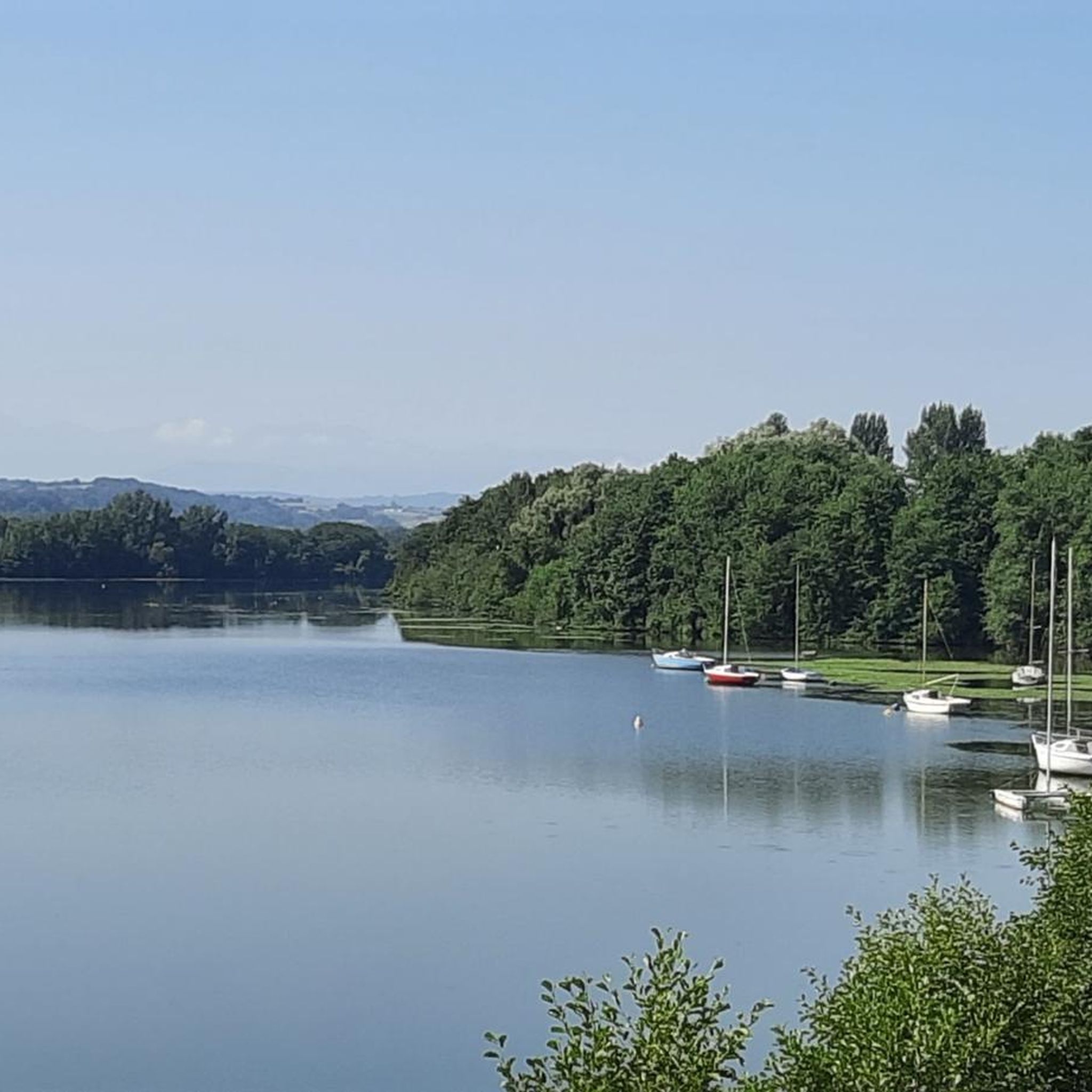
The tour of the lake is only 1.5 km but it is nice to end the day in the cool.
0
0
Frequently Asked Questions
How many hiking trails are available around Marignac-Lasclares?
There are over 35 hiking routes available around Marignac-Lasclares, catering to various skill levels. You'll find a good mix of easy and moderate trails, with 18 easy routes and 19 moderate routes listed in the area.
What kind of terrain can I expect on hikes near Marignac-Lasclares?
The terrain around Marignac-Lasclares is quite diverse, featuring a blend of open plains and rolling hillsides. You'll encounter significant wooded sections, including a large communal forest, offering shaded paths. The St-Martory Canal also provides scenic waterside paths. The area's proximity to the Massif des Petites Pyrénées and the Massif du Plantaurel means you can find varied elevations and views, from gentle strolls to more challenging ascents.
Are there any easy hikes suitable for beginners or families?
Yes, Marignac-Lasclares offers several easy hikes perfect for beginners or families. One such route is the Lit de l'Arize loop from Carbonne, an easy 4.0 miles (6.5 km) path that follows the banks of the Arize river, offering a gentle walk through natural surroundings. Another option is the Hiking loop from Rieux-Volvestre, which is 6.9 km long and also rated easy.
Are there any circular hiking routes in the area?
Many of the trails around Marignac-Lasclares are circular, allowing you to start and end at the same point. For example, the Violet trail loop from Rieux-Volvestre is a popular moderate circular route covering 10.8 km. Another option is the Violet trail loop from Saint-Julien-sur-Garonne, a 9.7 km loop through local fields and woodlands.
What natural features or landmarks can I see while hiking?
While hiking near Marignac-Lasclares, you can explore the vast communal woods and potentially walk alongside the St-Martory Canal. The region's proximity to the Massif des Petites Pyrénées and the Massif du Plantaurel offers opportunities for ridge trails and views. You might also encounter historical sites like the ancient Roman road on the 'En passant par la voie romaine de Lavelanet-de-Comminges' trail. For specific points of interest, consider visiting Rieux-Volvestre or the Cathedral of the Nativity of Mary of Rieux-Volvestre.
What do other hikers say about the trails in Marignac-Lasclares?
The hiking routes in Marignac-Lasclares are highly regarded by the komoot community, with an average rating of 4.5 stars from over 50 reviews. Hikers often praise the diverse terrain, the peaceful wooded sections, and the well-maintained paths that offer a variety of experiences for all levels.
Is Marignac-Lasclares suitable for year-round hiking?
Yes, the region is generally suitable for year-round hiking. The nearby Petites Pyrénées, for instance, are described as ideal for year-round hiking, particularly on ridge trails or through the woods of Arize. The varied landscape means you can find shaded walks in warmer months and enjoy the scenery during cooler seasons.
Are there any specific viewpoints or scenic spots?
The varied topography, with its blend of plains and hillsides, offers numerous scenic spots. Trails like 'Montées et descentes dans les collines de Gratens' provide views of the Pyrenees. The Table d'orientation loop from Le Fousseret is another route that suggests a viewpoint, given its name.
Where can I find more information about the region's hiking network?
Marignac-Lasclares is part of the Coeur de Garonne region, which boasts an extensive network of marked hiking trails. You can find more details about the broader network and other footpaths in the area on the official tourism website: tourismecoeurdegaronne.com.
Are there any trails that follow waterways?
Yes, the presence of the St-Martory Canal offers potential for scenic waterside paths. Additionally, the Lit de l'Arize loop from Carbonne specifically follows the banks of the Arize river, providing a pleasant walk alongside water.
What are the options for parking when hiking in Marignac-Lasclares?
While specific parking locations for individual trailheads are not detailed here, Marignac-Lasclares and its surrounding villages are generally accessible by car. It's advisable to check local signage or specific route descriptions for designated parking areas near your chosen starting point.
Most popular attractions around Marignac-Lasclares

Get inspired with the komoot mobile app


Explore more
Browse the best Hikes in other regions.
