The best walks and hikes around Saint-Marcel-En-Marcillat
4.5
(61)
363
hikers
43
hikes
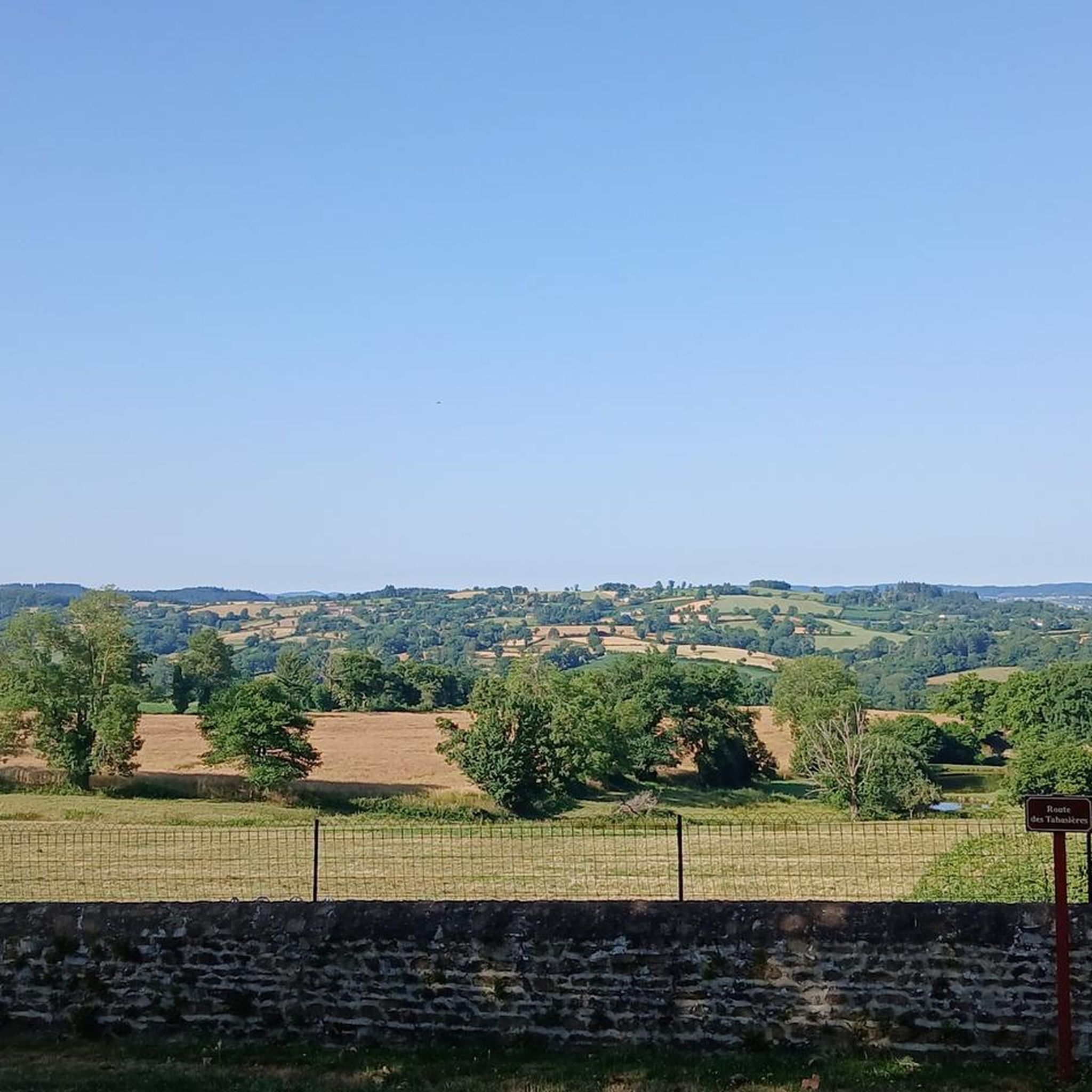
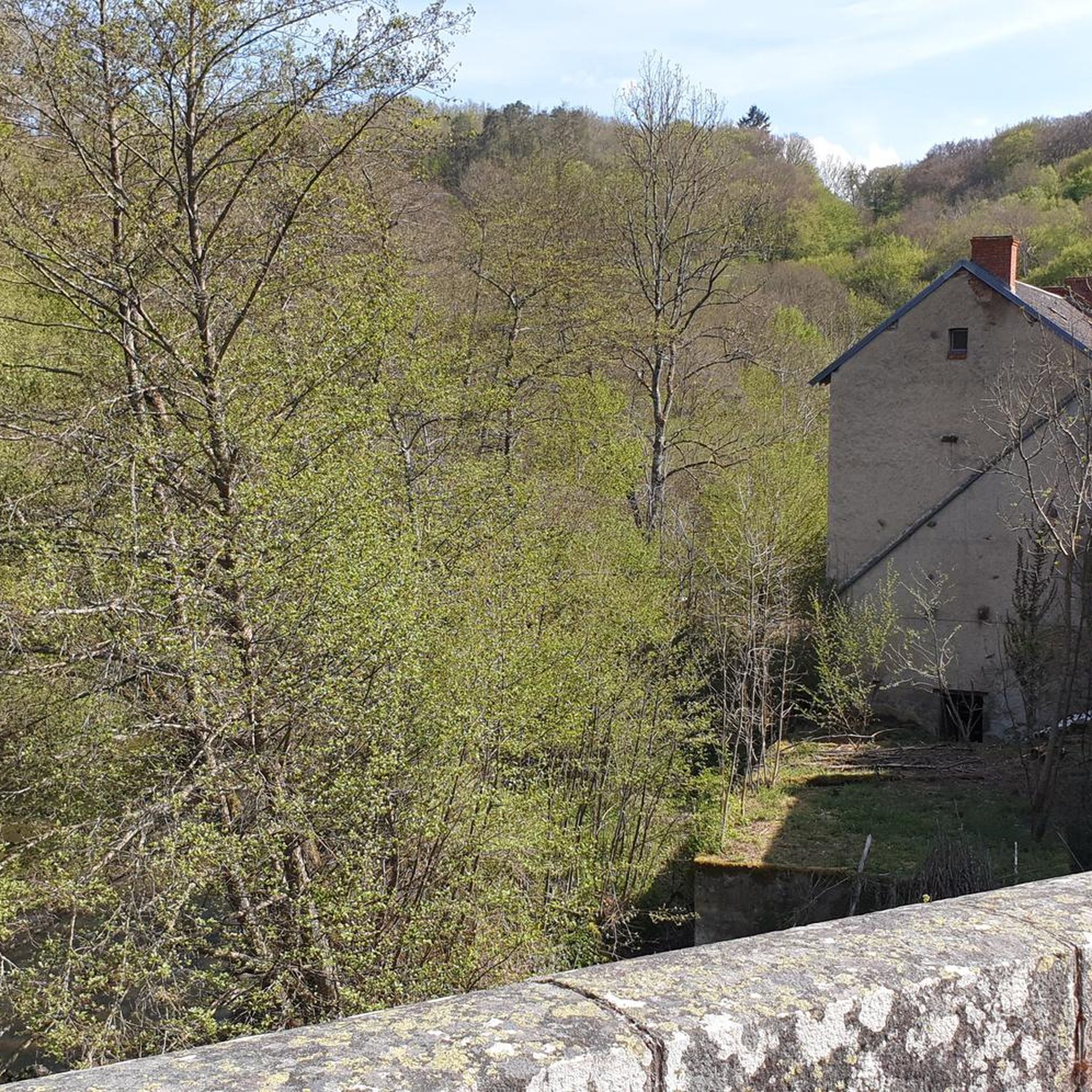
Hiking around Saint-Marcel-En-Marcillat offers access to the diverse natural landscapes of the Auvergne-Rhône-Alpes region. The terrain features a blend of bocage, ponds, rivers, and forests, particularly within the Espace Naturel Sensible de la Haute Vallée du Cher. Hikers can explore areas around the Rochebut Dam, the Cher gorges, and the Forêt des Colettes, with the broader region characterized by mountains, valleys, and dormant volcanoes.
Best hiking trails around Saint-Marcel-En-Marcillat
- The most popular hiking route is Marcillat-en-Combraille loop from Marcillat-en-Combraille,…
Last updated: June 27, 2026
5.0
(1)
17
hikers
21.4km
06:15
570m
570m
Hard hike. Very good fitness required. Easily-accessible paths. Suitable for all skill levels.
5.0
(1)
6
hikers
10.7km
03:09
300m
300m
Moderate hike. Good fitness required. Easily-accessible paths. Suitable for all skill levels.

Sign up for free
7
hikers
12.1km
03:12
110m
110m
Moderate hike. Good fitness required. Easily-accessible paths. Suitable for all skill levels.
4.5
(2)
5
hikers
7.45km
02:02
110m
120m
Moderate hike. Good fitness required. Easily-accessible paths. Suitable for all skill levels.
3
hikers
10.7km
02:51
110m
100m
Moderate hike. Good fitness required. Easily-accessible paths. Suitable for all skill levels.
Get access to more routes and recommendations from other explorers.
Sign up for free
Already have an account?
Our route recommendations are based on thousands of hikes, rides, and runs completed by other people on komoot.
Start today with a free account
Your next adventure awaits.
Login or Signup


Tips from the Community

Don't miss the Maison de la Combraille, a fun and interactive space dedicated to the territory of the same name. Beautiful abbey and imposing keep in the heart of the village.
2
0
Frequently Asked Questions
How many hiking trails are available around Saint-Marcel-En-Marcillat?
There are over 35 hiking trails around Saint-Marcel-En-Marcillat, offering a diverse range of experiences. These include routes through bocage landscapes, along rivers, and into forests, suitable for various skill levels.
What types of landscapes can I expect to see while hiking in this region?
The region around Saint-Marcel-En-Marcillat features a scenic blend of natural environments characteristic of the Auvergne-Rhône-Alpes. You'll encounter preserved natural settings including bocage (mixed woodland and pasture), ponds, rivers, and forests, particularly within the Espace Naturel Sensible de la Haute Vallée du Cher. The broader Auvergne region is known for its mountains, valleys, and rivers, with dormant volcanoes and verdant forests.
Are there any easy or family-friendly hiking options in Saint-Marcel-En-Marcillat?
Yes, the area offers a good selection of easy and moderate trails suitable for families or those seeking a relaxed walk. Out of the 38 available routes, 12 are classified as easy and 25 as moderate. For example, the Hiking loop from Saint-Hilaire is a moderate 7.5 km trail that can be completed in under 2 hours, making it a good option for a shorter outing.
What are some notable landmarks or natural features to look out for on the trails?
Hikers can explore the impressive Rochebut Dam, which creates a 178-hectare lake, and the striking Cher gorges. A historic suspension bridge from 1921 adds a unique element to the natural scenery. You might also spot the medieval Bear Castle, perched on a rocky promontory overlooking the River Cher, offering panoramic views.
Are there any circular hiking routes available?
Yes, many of the trails in the Saint-Marcel-En-Marcillat area are circular, allowing you to start and end at the same point. An example is the View of Sancy loop from Ribière, a moderate 10.7 km route that offers varied scenery.
What do other hikers enjoy most about hiking in Saint-Marcel-En-Marcillat?
The area is highly rated by the komoot community, with an average score of 4.5 stars from over 40 reviews. Hikers often praise the diverse landscapes, from tranquil bocage to river valleys, and the well-maintained trails that offer options for all ability levels. Nearly 300 hikers have used komoot to explore the varied terrain here.
Is Saint-Marcel-En-Marcillat a good destination for dog-friendly hikes?
While specific dog-friendly regulations can vary, the natural and varied terrain of Saint-Marcel-En-Marcillat generally makes it a welcoming area for hiking with dogs. Many trails pass through forests and open countryside, providing ample space. Always ensure your dog is under control and check for any local signage regarding leash requirements or restricted areas, especially in protected natural zones.
What is the best time of year to go hiking in Saint-Marcel-En-Marcillat?
The Auvergne-Rhône-Alpes region, including Saint-Marcel-En-Marcillat, is generally pleasant for hiking from spring through autumn. Spring brings blooming wildflowers and mild temperatures, while autumn offers beautiful fall foliage. Summer can be warm but is ideal for longer days on the trails. Winter hiking is possible, but some trails might be muddy or require appropriate gear, especially at higher elevations in the broader Auvergne region.
Are there any places to eat or stay near the hiking trails?
Saint-Marcel-En-Marcillat and its surrounding communes offer various amenities. The spa village of Evaux-les-Bains, for instance, is nearby and provides opportunities for relaxation and cultural exploration, likely including dining and accommodation options. For more specific information on local cafes, pubs, or accommodation, it's best to check local tourism resources or online travel guides for the immediate area.
Where can I find parking for hiking trails in Saint-Marcel-En-Marcillat?
Parking availability varies by trailhead. Many routes, especially those starting from villages like Marcillat-en-Combraille or Château-sur-Cher, will have designated parking areas or roadside spots. It's advisable to check the specific route details on komoot or local tourism websites for recommended parking locations before you set out. For example, the Vallée coeur de France Tourist Office may offer resources on trail access.
Are there any challenging hikes for experienced trekkers?
Yes, for experienced trekkers seeking a challenge, there are more demanding routes. The Marcillat-en-Combraille loop from Marcillat-en-Combraille is classified as difficult, covering 21.9 km with significant elevation gain, and typically takes over 6 hours to complete. This trail traverses diverse landscapes of the Combraille region, offering a rewarding experience.
Can I reach the hiking areas by public transport?
Public transport options directly to all trailheads in a rural area like Saint-Marcel-En-Marcillat may be limited. However, larger towns in the region, such as Montluçon, often serve as hubs with bus or train connections. From these towns, local bus services or taxis might be available to reach smaller villages closer to the trails. It's recommended to research specific routes and local transport schedules in advance.
Most popular routes around Saint-Marcel-En-Marcillat
Most popular attractions around Saint-Marcel-En-Marcillat

Get inspired with the komoot mobile app


Explore more
Browse the best Hikes in other regions.
