The best road cycling routes around Bruyères
4.5
(88)
2,270
riders
31
rides
Road cycling routes around Bruyères are set within the diverse landscapes of the Vosges Valleys. The region features extensive forests, lakes, and rivers, providing varied terrain for cyclists. Routes often include significant elevation gains, with well-paved surfaces ensuring a smooth riding experience. This area offers a mix of moderate rides and demanding circuits, characterized by its natural features.
Best road cycling routes around Bruyères
- The most popular road cycling route is Col du Wettstein – Wettstein Pass loop from Bruyères…
Last updated: July 13, 2026
127
riders
105km
05:25
1,810m
1,810m
Hard road ride. Very good fitness required. Mostly well-paved surfaces and easy to ride.
4.0
(2)
48
riders
177km
09:16
3,180m
3,180m
Hard road ride. Very good fitness required. Mostly well-paved surfaces and easy to ride.

Sign up for free
4.5
(4)
81
riders
54.2km
02:33
690m
690m
Moderate road ride. Good fitness required. Mostly well-paved surfaces and easy to ride.
5.0
(2)
66
riders
133km
07:14
2,530m
2,530m
Hard road ride. Very good fitness required. Mostly well-paved surfaces and easy to ride.
5.0
(1)
53
riders
49.6km
02:26
670m
670m
Moderate road ride. Good fitness required. Some segments of this route may be unpaved and difficult to ride.
Get access to more routes and recommendations from other explorers.
Sign up for free
Already have an account?
Our route recommendations are based on thousands of hikes, rides, and runs completed by other people on komoot.
Start today with a free account
Your next adventure awaits.
Login or Signup
Other adventures around Bruyères

Tips from the Community

A small pass after the Ballon de Severance. Refreshment stand with a view.
0
0
It starts gently... but that's just the beginning.
0
0
Long hesitated to do it. Short but very hard, with the Pinot turn and the last ramp of the super board to tell yourself that it's really hard.
0
0

Beautiful lake. The cycle path on the eastern side is more like a cycle street that is great to ride on.
1
0

Very pleasant ascent, steady with a quality surface, be careful, keep a second ramp under your pedal, it hides behind before reaching the lake of Gérardmer!
0
0

Beautiful climb that winds up in several switchbacks with a very moderate gradient. Train a little for everyone, easy to do!👍
0
0


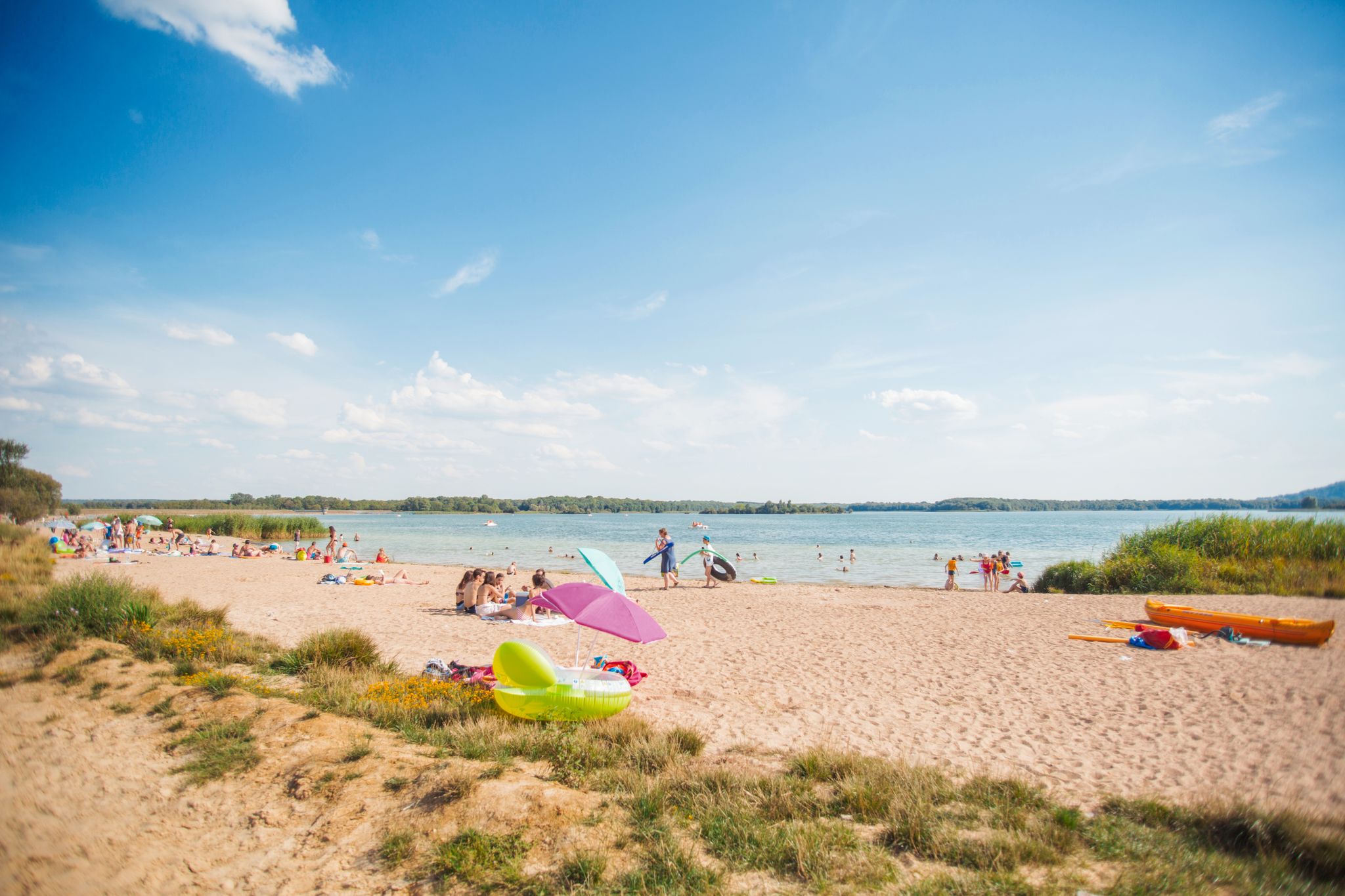
The beautiful mirror-like lake, surrounded by beautiful vegetation, is also explained on the information board. The insect-eating sundew is common there.
1
0
Frequently Asked Questions
How many road cycling routes are available around Bruyères?
There are over 30 road cycling routes available around Bruyères, offering a wide range of options for different skill levels and preferences. These routes explore the diverse landscapes of the Vosges Valleys.
What kind of terrain can I expect on road cycling routes in the Vosges Valleys around Bruyères?
The terrain around Bruyères is characterized by diverse landscapes, including extensive forests, lakes, and rivers. You can expect well-paved surfaces on most routes, with significant elevation gains, some reaching over 900 meters (3,000 feet) and even up to 2,530 meters on longer loops. The region offers a mix of moderate climbs and demanding circuits.
Are there any challenging road cycling routes for experienced riders near Bruyères?
Yes, the region offers several challenging routes with substantial elevation gains. For instance, the Col du Wettstein – Wettstein Pass loop from Bruyères is a difficult 104.7 km (65.1 miles) route with over 1,800 meters of elevation gain. Another demanding option is the View of Lake Lispach – Col du Wettstein loop from Bruyères, which covers 132.6 km (82.4 miles) and features over 2,500 meters of climbing.
What are some moderate road cycling routes suitable for intermediate cyclists?
For intermediate cyclists, the Moulin Lake – Arrentes Pass loop from Bruyères is a popular choice. This 54.2 km (33.7 miles) route offers a rewarding experience with around 690 meters of elevation, often winding through scenic forests. Another moderate option is the Moulin Lake – I See Life in Vosges loop from Bruyères, covering 49.6 km (30.8 miles) with similar elevation.
What scenic viewpoints or landmarks can I see along the road cycling routes?
The routes around Bruyères are known for their breathtaking views and natural beauty. You can cycle past features like Moulin Lake and Lake Lispach, and through enchanting forests. Notable landmarks include the Arrentes Pass and the unique geological formations of Pointhaie Rocks. The forest road between Brouvelieures and Autrey also offers a particularly picturesque journey alongside the La Mortagne river.
Are there any loop road cycling routes starting from Bruyères?
Yes, many of the road cycling routes around Bruyères are designed as loops, allowing you to start and finish in the same location. Examples include the challenging Col du Wettstein – Wettstein Pass loop from Bruyères and the moderate Moulin Lake – Arrentes Pass loop from Bruyères. These circular routes make planning your ride convenient.
What do other cyclists say about road cycling in Bruyères?
The road cycling routes in Bruyères are highly rated by the komoot community, with an average score of 4.65 stars from over 20 reviews. Cyclists often praise the varied terrain, the extensive forests providing shaded routes, and the well-paved surfaces that ensure a smooth riding experience. Many appreciate the mix of challenging climbs and rewarding scenic views.
Is it possible to find cafes or accommodation near the road cycling routes?
Bruyères and the surrounding villages offer various amenities, including cafes and accommodation options. While specific locations along every route are not detailed here, the region is well-equipped to support visitors. It's advisable to plan your stops in advance, especially on longer routes, to ensure you have access to refreshments and rest points.
What is the best time of year for road cycling in Bruyères?
The Vosges Valleys are generally pleasant for cycling from spring through autumn. During these seasons, the weather is typically mild, and the natural beauty of the forests and lakes is at its peak. While specific weather conditions can vary, avoiding the colder winter months will ensure a more comfortable and enjoyable road cycling experience.
Are there options for family-friendly cycling that combine quiet roads with other paths?
While this guide focuses on road cycling, the broader area around Bruyères also features VTC (Vélo Tout Chemin, or hybrid bike) routes. These routes blend quiet roads with forest paths, offering a more relaxed and varied experience that can be suitable for families or those looking for a less intense ride. For more information on VTC routes, you can check resources like tourisme-bruyeres.com.
Where can I find information about parking for road cycling routes in Bruyères?
Parking is generally available in and around Bruyères, particularly in the town center or near popular starting points for outdoor activities. While specific parking locations for each route are not detailed here, local tourist information or signage in the area can guide you to convenient spots to begin your cycling adventure.
Can I access road cycling routes in Bruyères using public transport?
Bruyères is accessible by public transport, which can help you reach the starting points of various routes. While direct public transport links to every specific trail might be limited, regional bus services or train connections to Bruyères itself can facilitate your journey. It's recommended to check local transport schedules for the most up-to-date information.
Most popular attractions around Bruyères

Get inspired with the komoot mobile app


Explore more
Browse the best Road cycling routes in other regions.
