The best road cycling routes around Bieberehren
4.6
(206)
2,593
riders
163
rides
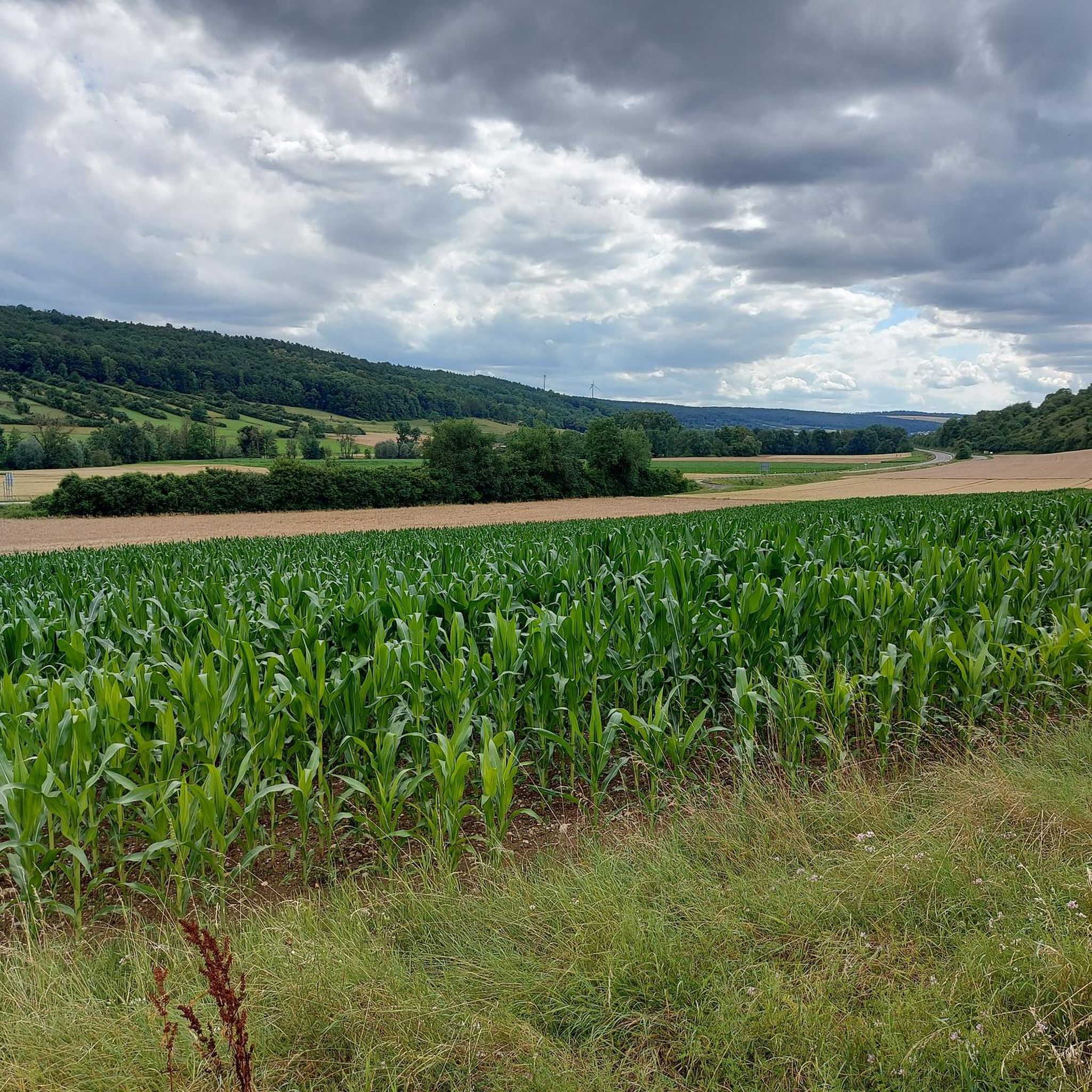
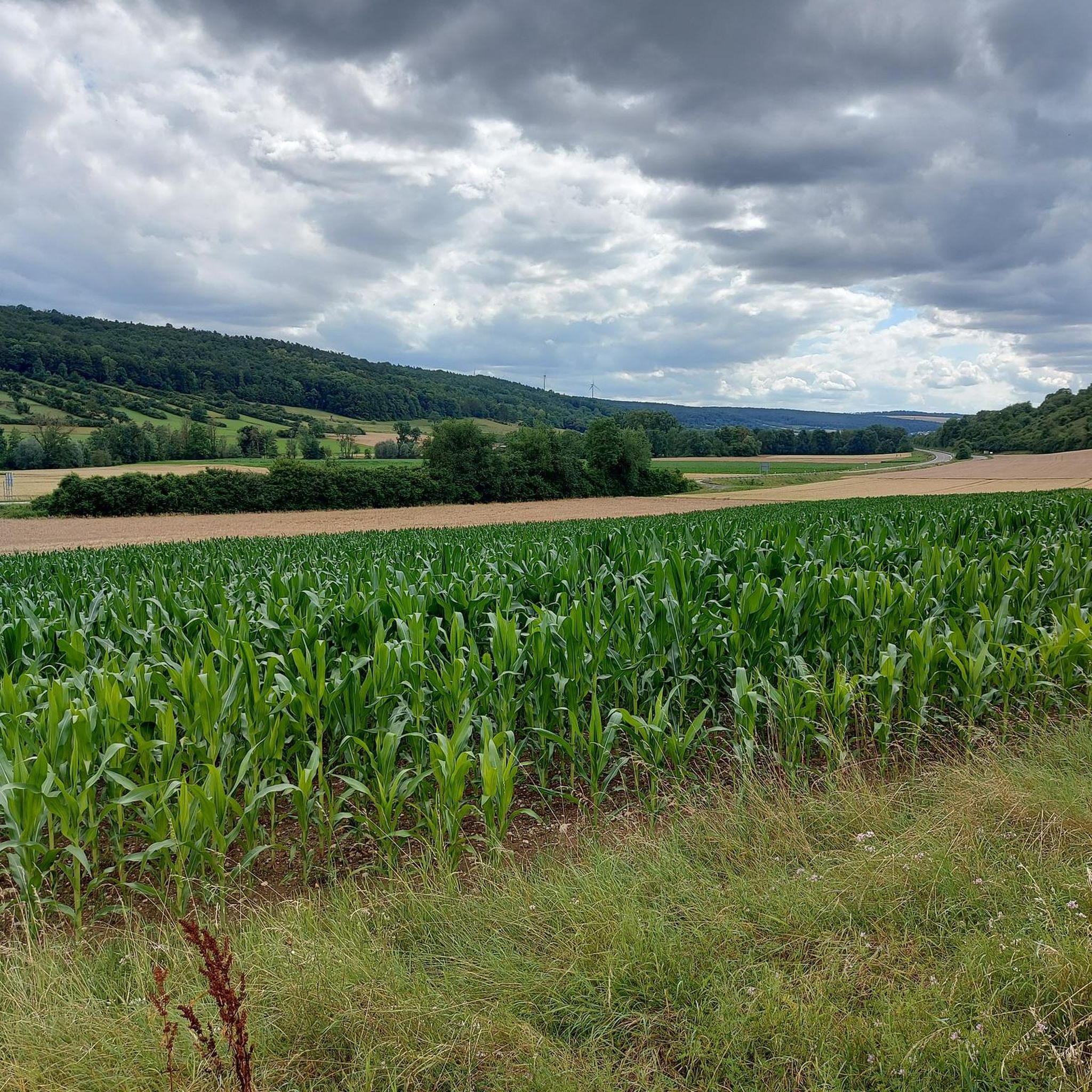
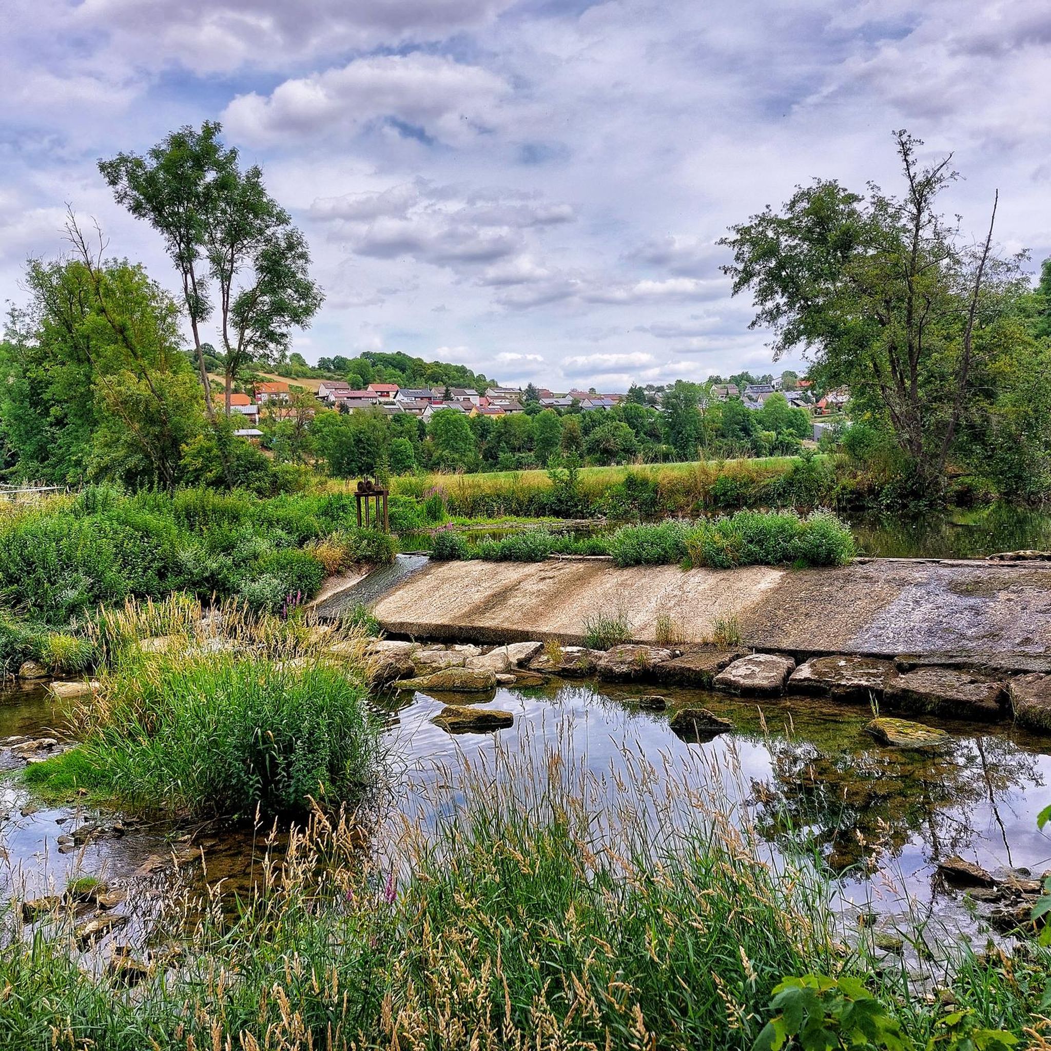
Road cycling around Bieberehren offers routes through the scenic Tauber Valley and the vineyards of Lower Franconia. The region is characterized by rolling hills, river plains, and historic towns, providing varied terrain for cyclists. Road cyclists can expect a network of routes suitable for different skill levels, from gentle riverside paths to more challenging ascents through agricultural landscapes.
Best road cycling routes around Bieberehren
- The most popular road cycling route is Marketplace Weikersheim – Röttingen Market Square loop from Creglingen…
Last updated: July 5, 2026
4.8
(18)
88
riders
36.1km
01:35
200m
200m
Easy road ride. Great for any fitness level. Mostly well-paved surfaces and easy to ride.
13
riders
Moderate road ride. Good fitness required. Some segments of this route may be unpaved and difficult to ride.

Sign up for free
16
riders
60.1km
02:49
450m
450m
Moderate road ride. Good fitness required. Mostly well-paved surfaces and easy to ride.
20
riders
25.7km
01:21
200m
200m
Easy road ride. Great for any fitness level. Mostly well-paved surfaces and easy to ride.
5.0
(1)
21
riders
30.5km
01:24
230m
230m
Easy road ride. Great for any fitness level. Mostly well-paved surfaces and easy to ride.
Get access to more routes and recommendations from other explorers.
Sign up for free
Already have an account?
Our route recommendations are based on thousands of hikes, rides, and runs completed by other people on komoot.
Start today with a free account
Your next adventure awaits.
Login or Signup
Popular around Bieberehren
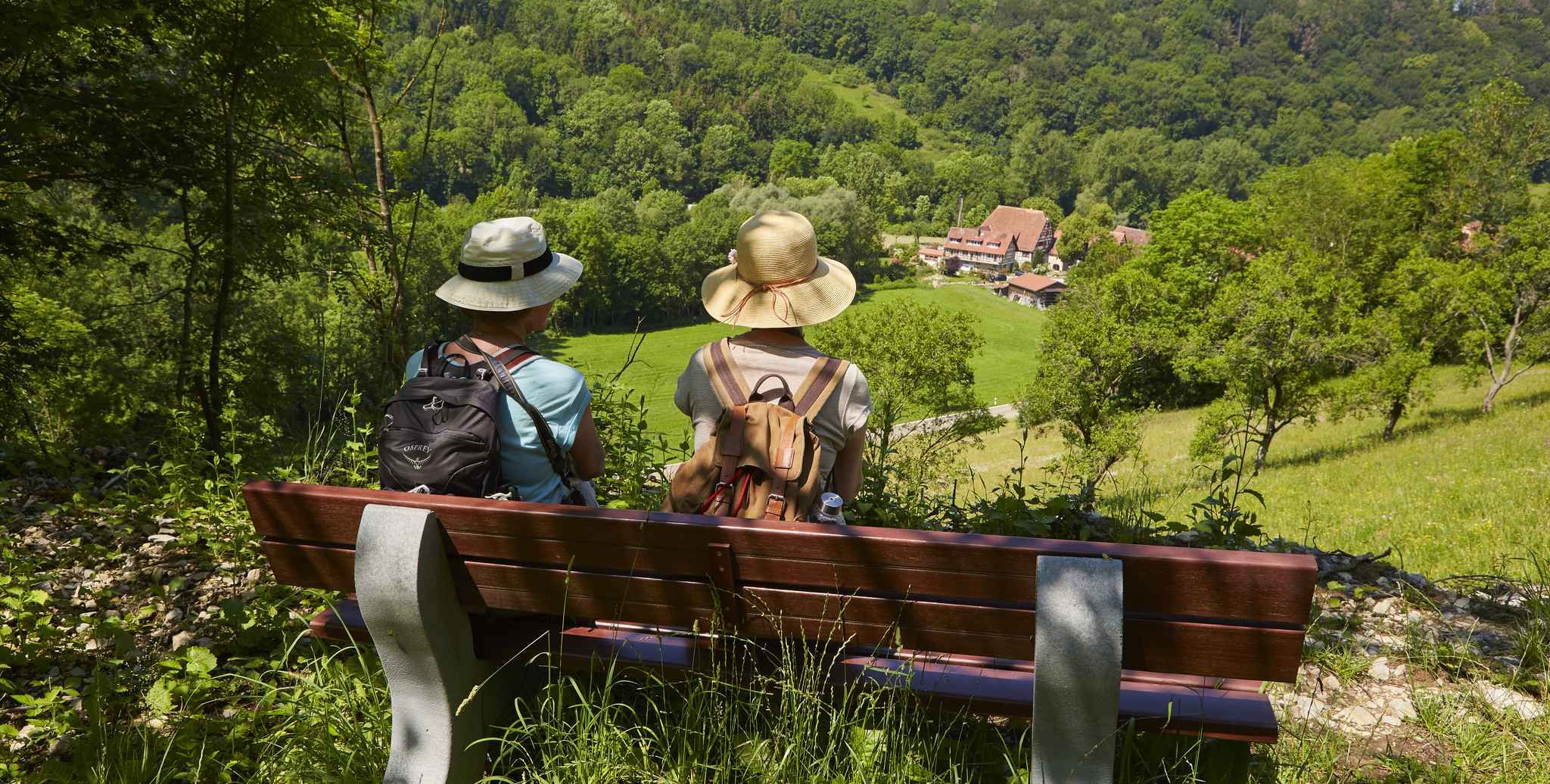
Gentle hills & wide forests – day Tours in the Lovely Tauber Valley
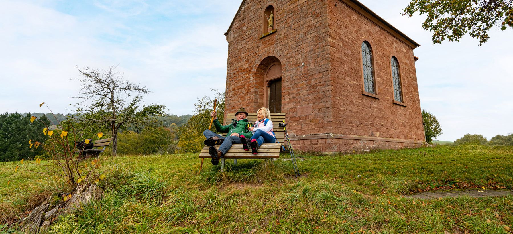
Besinnlichkeit und Ruhe finden – Meditationswege im Lieblichen Taubertal
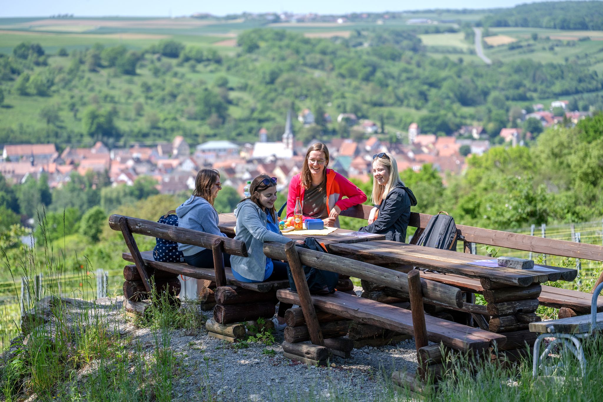
29 Rundwanderwege durch die Ferienlandschaft „Liebliches Taubertal“
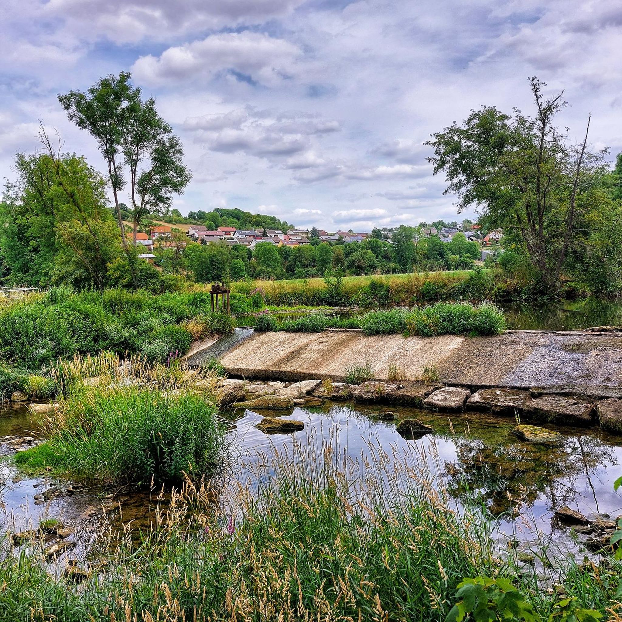
Hiking around Bieberehren
Cycling around Bieberehren
MTB Trails around Bieberehren
Running Trails around Bieberehren
Other adventures around Bieberehren

Tips from the Community

https://en.wikipedia.org/wiki/Waldmannshofen_Castle
0
0
The former moated castle of Waldmannshofen
0
0

simply beautiful bridge in a beautiful valley
0
0

That's a wonderful bridge. Not some concrete monstrosity.
0
0

Relics from ancient times
1
0

Weikersheim is a beautiful little town with a lovely market square.
1
0
Located on the cycle path and beautiful to look at
0
0
Frequently Asked Questions
How many road cycling routes are available around Bieberehren?
There are over 160 road cycling routes around Bieberehren, offering a wide variety of options for different skill levels. You'll find everything from easy rides to more challenging ascents through the region's diverse landscapes.
Are there easy road cycling routes suitable for beginners or families?
Yes, Bieberehren offers several easy road cycling routes. For a pleasant ride through charming towns, consider the Marketplace Weikersheim – Röttingen Market Square loop from Creglingen, an easy 21.5-mile path connecting historic marketplaces. Another accessible option is the Oberhausen Chapel – Mountain Stage loop from Röttingen, which is 25.9 miles long.
What are the more challenging road cycling routes in the area?
For those seeking a challenge, the region features routes with more significant climbs. The Stone Bridge Creglingen loop from Creglingen is a moderate 37.5-mile route with over 1,400 feet of elevation gain. The area's rolling hills and agricultural landscapes provide ample opportunities for more demanding rides.
Are there any circular road cycling routes around Bieberehren?
Many of the road cycling routes around Bieberehren are designed as loops, allowing you to start and finish in the same location. A popular circular route is the Vineyards of Lower Franconia – View of Marienberg Fortress loop from Bieberehren, a 53.6-mile moderate trail offering scenic views. Another option is the Toppler's Little Castle – Tauber Valley Cycle Path loop from Creglingen, which is 26.5 miles long.
What kind of scenery can I expect on road cycling routes in Bieberehren?
Road cycling around Bieberehren is characterized by diverse scenery, including the picturesque Tauber Valley, expansive vineyards of Lower Franconia, and rolling hills. You'll also pass through historic towns and agricultural landscapes, offering varied views throughout your ride.
What are some notable attractions or landmarks to see along the routes?
The region offers several interesting sights. You can encounter natural monuments like the Kunigundenstein or the Ottilien Spring in Pfahlenheim. Historic sites such as the Celtic rectangular enclosure of Wermutshausen are also nearby. Some routes offer views of significant landmarks like the Marienberg Fortress.
What is the best time of year for road cycling in Bieberehren?
The best time for road cycling in Bieberehren is typically from spring through autumn. During these seasons, the weather is generally mild, and the landscapes, especially the vineyards, are at their most vibrant. Autumn offers particularly beautiful colors.
What do other road cyclists enjoy most about the routes in Bieberehren?
The road cycling routes in Bieberehren are highly rated by the komoot community, with an average score of 4.5 stars. Reviewers often praise the varied terrain, which includes river valleys, vineyards, and rolling hills, as well as the well-maintained paths that cater to different ability levels.
Are there options for longer road cycling tours, perhaps around 50km?
Yes, there are several routes around 50km (approximately 31 miles) or longer. The Vineyards of Lower Franconia – View of Marienberg Fortress loop from Bieberehren is a moderate 53.6-mile route, perfect for a longer day out. Another option is the Stone Bridge Creglingen loop from Creglingen, which covers 37.5 miles.
Where can I find parking for road cycling routes in Bieberehren?
While specific parking locations vary by starting point, many routes around Bieberehren begin near towns like Creglingen or Röttingen, where public parking is generally available. It's advisable to check the specific route details on komoot for recommended starting points and parking information.
Are there any cafes or refreshment stops along the road cycling routes?
The routes often pass through or near charming towns and villages in the Tauber Valley and Lower Franconia. These towns typically offer opportunities for refreshment, including cafes, bakeries, and restaurants where you can take a break and refuel during your ride.
Most popular routes around Bieberehren
Most popular attractions around Bieberehren

Get inspired with the komoot mobile app


Explore more
Browse the best Road cycling routes in other regions.
