The best road cycling routes around Balanzac
4.8
(23)
480
riders
117
rides
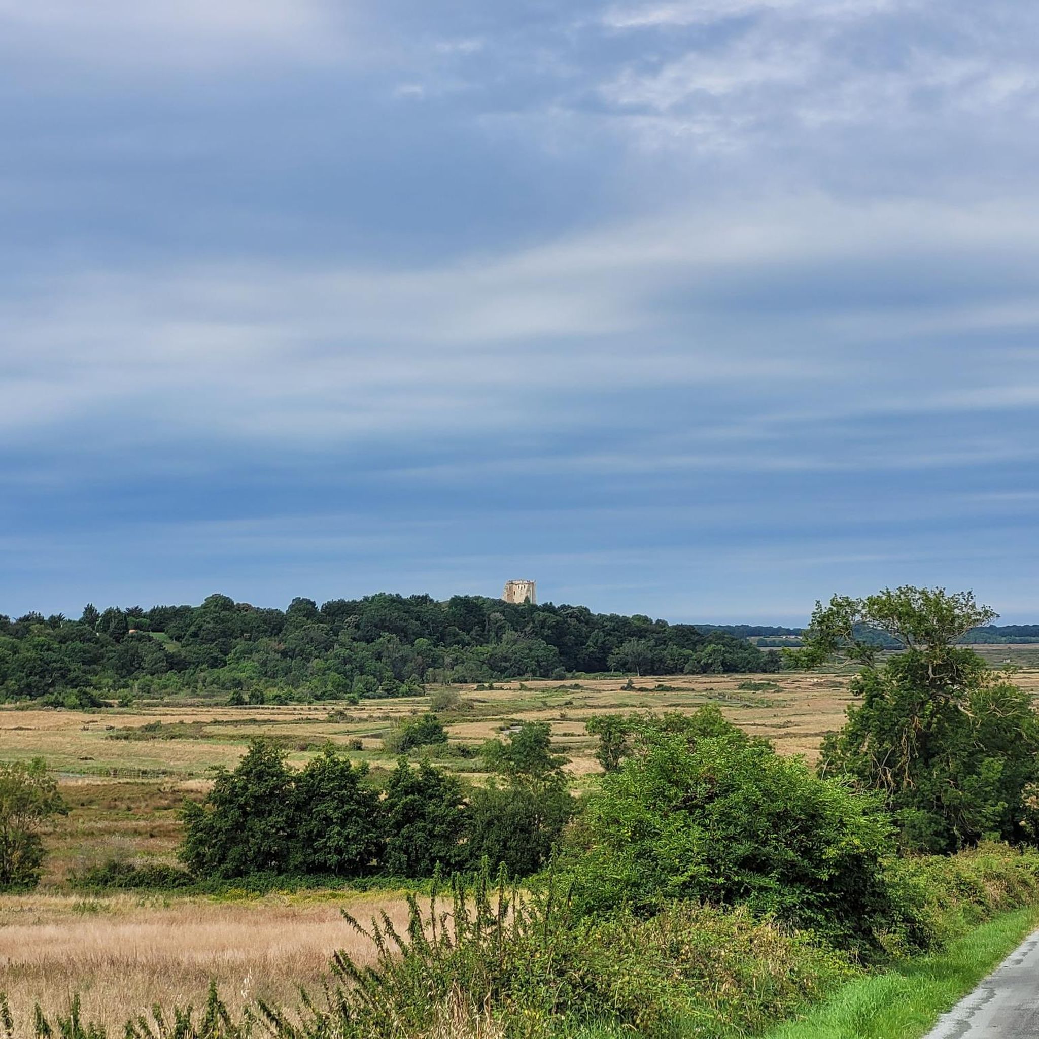
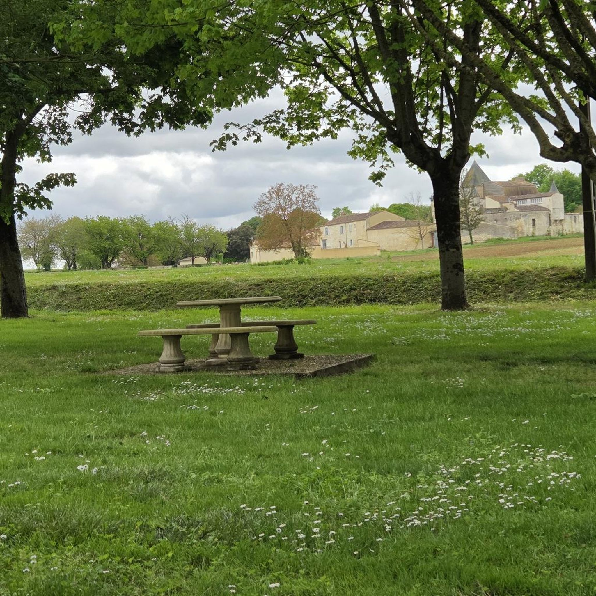
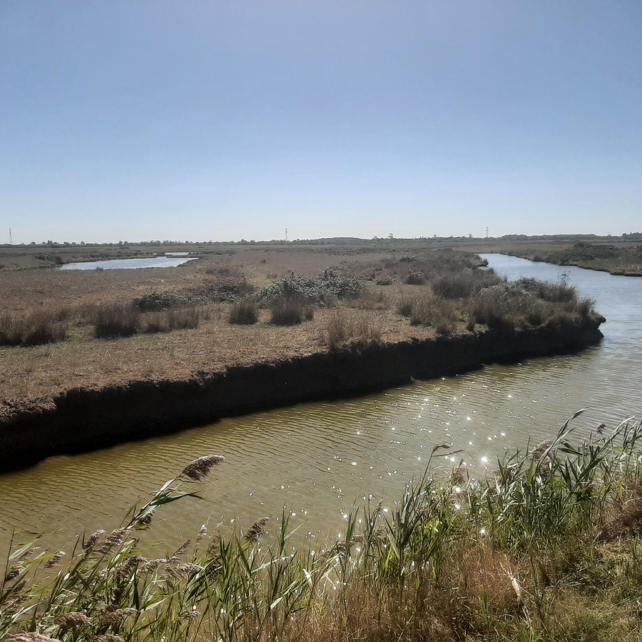
Road cycling around Balanzac, located in the Charente-Maritime department of southwestern France, offers diverse landscapes for cyclists. The region features a bucolic countryside with woods, marshes, and small hamlets, alongside the Charente and Arnoult rivers. Cyclists can expect mostly well-paved surfaces and rolling hills, characteristic of the wider Charente area, including vineyards.
Best road cycling routes around Balanzac
- The most popular road cycling route is Saint Saturnin of Séchaud – Cathedral of Saintes loop from Corme-Royal, a 33.6 miles (54.1 km) trail that takes 2 hours 22 minutes to complete. This moderate route passes through rural scenery and offers views of the Charente river valley.
- Another top favourite among local road cyclists is Porche de Pont l'Abbé – Saint-Savinien-sur-Charente loop from Corme-Royal, a moderate 38.5 miles (62.0 km) path. This path explores the diverse landscapes of the Charente-Maritime department, including well-paved surfaces.
- Local road cyclists also love the Porche de Pont l'Abbé – Saint-Vivien Church of Geay loop from Corme-Royal, a 37.8 miles (60.8 km) trail leading through rolling hills and past historical sites, often completed in about 2 hours 29 minutes.
- Road cycling around Balanzac is defined by rural scenery, river valleys, and rolling hills. The network offers options for different ability levels, from easy loops to more challenging rides.
- The routes in Balanzac are highly rated by the komoot community with an average score of 4.7 stars from over 16 reviews. More than 400 road cyclists have used komoot to explore Balanzac's varied terrain.
Last updated: October 20, 2026
15
riders
Moderate road ride. Good fitness required. Mostly well-paved surfaces and easy to ride.
18
riders
9.59km
00:28
30m
30m
Easy road ride. Great for any fitness level. Mostly well-paved surfaces and easy to ride.

5.0
(1)
8
riders
51.1km
02:01
210m
210m
Moderate road ride. Good fitness required. Mostly well-paved surfaces and easy to ride.
9
riders
11.4km
00:26
40m
40m
Easy road ride. Great for any fitness level. Mostly well-paved surfaces and easy to ride.
4
riders
62.4km
02:33
340m
340m
Moderate road ride. Good fitness required. Mostly well-paved surfaces and easy to ride.
Get access to more routes and recommendations from other explorers.
Already have an account?
Our route recommendations are based on thousands of hikes, rides, and runs completed by other people on komoot.
Start today with a free account
Your next adventure awaits.


Tips from the Community

🏛️ Construction: 18-19 AD The arch was built around 18-19 AD, during the reign of Emperor Tiberius. It stood at the entrance to the Roman bridge crossing the Charente, at the outlet of the Via Agrippa, which connected Lyon to Saintes. It is therefore not truly a "triumphal arch": it was both a road monument and a monumental gate marking the entrance to Mediolanum Santonum, the capital of Roman Aquitaine. 👤 Who had it built? The arch was financed by Caius Julius Rufus, a Romanized notable from Saintonge. He dedicated it to Tiberius as well as his nephew Germanicus. The inscriptions engraved on the entablature still allow us today to know the figures to whom it was dedicated. The name "Arch of Germanicus" therefore comes from this dedication, and not from the fact that Germanicus personally had the arch built or crossed it. 🏗️ A rather exceptional monument The arch has two bays, likely allowing for the differentiation of traffic flows. It measures approximately 15 m high by 16 m wide. Its Corinthian and composite capitals bear witness to particularly meticulous Roman architecture. It constituted a true demonstration of the power and Romanization of Saintes. ⚠️ The moment the arch almost disappeared This is probably the most interesting episode in its history. For centuries, the arch was always located at the level of the Roman bridge and then the medieval bridge, on the right bank of the Charente. In the 19th century, the old bridge had become dilapidated. When it was decided to demolish it, around 1843, the arch was also threatened with destruction. It was then that Prosper Mérimée, Inspector General of Historical Monuments, intervened. He advocated for its preservation and arranged for its dismantling, relocation, and reassembly on the new bank. Another figure is also associated with this preservation: Victor Hugo, who stayed in Saintes in September 1843 and intervened in favor of the monument's conservation with Mérimée. 📍 Why is the arch no longer exactly in its ancient location? The arch we see today, on Place Bassompierre, is therefore no longer in its original location. It was moved a few dozen meters during the transformation of the quays and the disappearance of the old bridge. It was dismantled stone by stone and then reassembled in order to preserve it. It is now located in the immediate vicinity of the ancient Roman bridge crossing. 🏛️ Protection The Arch of Germanicus was finally classified as a historical monument in July 1905. An interesting detail The Crazannes quarries, located near Saintes, supplied a limestone widely used in the region's ancient constructions. Crazannes stone was notably used for monuments such as the Arch of Germanicus. In summary: 18-19 → construction of the arch at the entrance to the Roman bridge ↓ Antiquity → Middle Ages → the arch remains associated with the crossing of the Charente ↓ 1843 → demolition of the old bridge and threat to the arch ↓ 1843-1844 → Mérimée's intervention and relocation of the arch ↓ 1905 → classified as a Historical Monument
0
0

It is an absolutely beautiful village.
0
0


Small town with a special charm along the Charente.
0
0

The Abbaye-aux-Dames is built around the church of Sainte-Marie, built in the twelfth century. Famous for its facade and its characteristic "pinecone" bell tower, it is one of the emblematic monuments of Saintonge's Romanesque art. After several wars and fires, the place was restored in the 1970s and 1980s and is now a hotel. When you walk through the long corridors you feel like you have been transported back to the time when the abbey was still alive.
4
0
Like many amphitheaters in the Roman Empire, that of Saintes was built on the outskirts of the city in a place now called "Vallon des Arènes" (Little Valley of the Amphitheater). The LTS builders took advantage of the local topography to build part of the amphitheater. Today, despite the disappearance of its superstructure, the remains give a very good idea of what this amphitheater looked like in its heyday. The site is now open to visitors all year round.
6
0

A former Benedictine abbey created in 1047, Abbaye-aux-Dames was the first women's monastery in Saintonge. These powerful women were nuns, that is to say, nuns living cloistered and having taken a vow of piety, occupying their lives in contemplation. They carried the crosier, in other words the pastoral staff of a bishop, and minted coins. Richly endowed, the abbey carried its influence well beyond the borders of the county and over time it became one of the most powerful women's monasteries in all of South-West France. With up to a hundred nuns at its peak, it was entrusted with the mission of instructing young girls, often from the French nobility, and counted among its most illustrious residents the future Marquise de Montespan, favorite of Louis XIV. The Abbaye-aux-Dames is structured around the Sainte-Marie church, built in the 12th century, famous for its facade and its characteristic “pine cone” bell tower. The premises were restored during the 1970s and 1980s and now house a Cité de la musique in which the Saintes Festival dedicated to classical music takes place each year. You can also stay in a wing of the building, the cells having been converted into hotel rooms, and leave your bike in a secure room.
0
0
The Santons people occupied Saintonge during the Gallic era. The Romans conquered the region and settled on the banks of the Charente. The town of Saintes (then designated Mediolanum), located at the western end of the Via Agrippa which linked Lyon (capital of the Three Gauls) to the Atlantic coast, quickly became monumental. At the time of Augustus (27 BC – 14 AD), the city probably became the capital of the province of Greater Aquitaine (Aquitania). This then extended from the Loire to the Pyrenees. Mediolanum is endowed with important public monuments: the amphitheater, the arch of Germanicus, the thermal baths and the aqueduct are still partially visible today. At the time of its peak (end of the 1st century – beginning of the 2nd century), the city must have had several thousand inhabitants. The amphitheater of Mediolanum is one of the earliest in Gaul. It is estimated that its construction began during the reign of Tiberius (14 – 37 AD), and was completed during the reign of Claudius (41 – 54 AD). Like many amphitheaters of the Roman Empire, that of Saintes was located on the outskirts of the ancient city in a chosen and developed site: the “vallon des Arènes”. Thanks to a favorable topography, the builders were relieved of part of their work, the amphitheater resting on the slope of the valley. This elliptical monument, with imposing dimensions (126 meters long and 102 meters wide), made it possible to accommodate several thousand spectators around bloody and violent representations such as gladiator fights (munera) or animal hunts (venationes ). In the 3rd century, the city declined and was entrenched within an impressive rampart, built from the remains of public and funerary monuments from previous decades. The amphitheater is then no longer used. Since the Middle Ages, it has been used, among other things, as a stone quarry. It was classified as a Historic Monument in 1840. It was from this moment that it was gradually restored. Today, despite the disappearance of the superstructures, the remains provide a faithful image of what this monument could have been at the time of its splendor. The site welcomes visitors all year round. Certain objects found during various excavations in the amphitheater district are visible at the archaeological museum.
1
0
Frequently Asked Questions
How many road cycling routes are available around Balanzac?
There are over 115 road cycling routes around Balanzac, offering a wide variety of options for different skill levels. You'll find a mix of easy, moderate, and challenging rides to explore the region's diverse landscapes.
What kind of terrain can I expect on road cycling routes in Balanzac?
Road cycling routes in Balanzac feature a varied terrain, primarily characterized by well-paved surfaces, rolling hills, and picturesque river valleys. You'll cycle through bucolic countryside, past woods, marshes, and small hamlets, with some routes offering views of the Charente and Arnoult rivers. The wider Charente region also includes scenic vineyards.
Are there easy road cycling routes suitable for beginners in Balanzac?
Yes, Balanzac offers numerous easy road cycling routes perfect for beginners or those seeking a relaxed ride. For instance, the Saint-Nazaire Church – Saint Saturnin of Séchaud loop from Corme-Royal is an easy 38.2 km (23.7 miles) trail that takes approximately 1 hour 33 minutes to complete, offering gentle gradients and pleasant scenery.
What are some popular moderate road cycling routes in the Balanzac area?
For those looking for a moderate challenge, routes like the Saint Saturnin of Séchaud – Cathedral of Saintes loop from Corme-Royal (54.1 km / 33.6 miles) or the Porche de Pont l'Abbé – Saint-Savinien-sur-Charente loop from Corme-Royal (62.0 km / 38.5 miles) are highly rated. These routes typically involve moderate elevation gains and explore diverse landscapes of the Charente-Maritime department.
Are there any challenging road cycling routes for experienced riders?
While most routes are easy to moderate, the region does offer options for more experienced riders. Some longer routes can extend over 5 hours or involve up to 3,000 feet of elevation gain, though some segments on these longer rides might be unpaved. You can filter for 'difficult' routes on komoot to find the most challenging options available.
What historical sites or landmarks can I see along the road cycling routes?
The Balanzac region is rich in historical and architectural heritage. Many routes pass by typical Saintonge Romane patrimony, including churches dating back to the 12th and 16th centuries. Notable highlights include the Saint-Romain Church of Saint-Romain-de-Benet, Saint Sulpice Church, Saint-Sulpice-d'Arnoult, and Saint-Nazaire Church. The nearby city of Saintes is also famous for its ancient monuments.
Are there scenic viewpoints or natural features to enjoy while cycling?
Absolutely. The routes offer plenty of scenic beauty, including the bucolic countryside, woods, marshes, and the 'Bocage et marais de l'ancien Golfe des Santons'. You'll also find picturesque views along the Charente and Arnoult river valleys. The rolling hills and vineyards of Cognac in the broader Charente region add to the visual appeal of longer rides.
What do other road cyclists say about the routes around Balanzac?
The road cycling routes around Balanzac are highly rated by the komoot community, with an average score of 4.7 stars from over 16 reviews. More than 400 road cyclists have used komoot to explore the varied terrain, often praising the well-paved surfaces, quiet country roads, and the charming rural scenery.
Are there circular road cycling routes available in Balanzac?
Yes, many of the road cycling routes around Balanzac are designed as loops, allowing you to start and end your ride in the same location. Examples include the Porche de Pont l'Abbé – Saint-Vivien Church of Geay loop from Corme-Royal, which is a popular 60.8 km (37.8 miles) circular trail.
What is the best time of year for road cycling in Balanzac?
The Charente-Maritime department generally offers pleasant conditions for cycling for much of the year. Spring and autumn typically provide mild temperatures and beautiful scenery, making them ideal. Summer can be warm, but early mornings or late afternoons are still great for rides. Winter rides are possible, though cooler temperatures and occasional rain should be expected.
Is Balanzac well-connected to larger cycling networks?
Yes, the wider Charente department boasts an excellent network of national and European cycle routes. These include La Scandibérique (part of EuroVelo 3) and The Flow Vélo, which combine dedicated greenways with quiet country roads. These networks allow cyclists to extend their rides and explore beyond the immediate Balanzac area.
Are there any specific routes that pass by the Charente River?
Many routes in the region offer views of or run alongside the Charente River and its valley, providing picturesque scenery. For example, the Saint Saturnin of Séchaud – Cathedral of Saintes loop from Corme-Royal offers views of the Charente river valley as you cycle through the rural landscape.
Most popular attractions around Balanzac

Get inspired with the komoot mobile app


Explore more
Browse the best Road cycling routes in other regions.
