The best running trails around Saint-Sauves-D'Auvergne
4.7
(57)
5,369
runners
20
runs
Jogging routes around Saint-Sauves-d'Auvergne traverse a diverse landscape within the Auvergne Volcanoes Regional Natural Park. The region features remnants of ancient volcanoes, including the prominent La Banne d'Ordanche, and is situated near the Massif du Sancy, offering varied elevation changes. Runners can explore the Haute-Dordogne valley, the Artense plateau, and extensive forested and pastoral areas. This preserved environment provides a mix of terrains, from riverbanks to open, elevated expanses.
Best jogging routes around Saint-Sauves-d'Auvergne
- The most popular jogging route is…
Last updated: July 13, 2026
5.0
(1)
66
runners
Hard run. Very good fitness required. Sure-footedness, sturdy shoes and alpine experience required.
4.0
(1)
10
runners
Moderate run. Good fitness required. Mostly paved surfaces. Suitable for all skill levels.

Sign up for free
3.0
(1)
9
runners
9.97km
01:08
220m
220m
Moderate run. Good fitness required. Mostly paved surfaces. Suitable for all skill levels.
7
runners
7.70km
00:54
140m
140m
Moderate run. Good fitness required. Mostly paved surfaces. Suitable for all skill levels.
7
runners
18.7km
02:16
510m
510m
Hard run. Very good fitness required. Mostly paved surfaces. Suitable for all skill levels.
Get access to more routes and recommendations from other explorers.
Sign up for free
Already have an account?
Our route recommendations are based on thousands of hikes, rides, and runs completed by other people on komoot.
Start today with a free account
Your next adventure awaits.
Login or Signup


Tips from the Community

Nice option, unfortunately nothing was open when I drove past.
0
0

Heated picnic room with microwave Cross-country ski rental Restaurant opening in February 2025
0
0


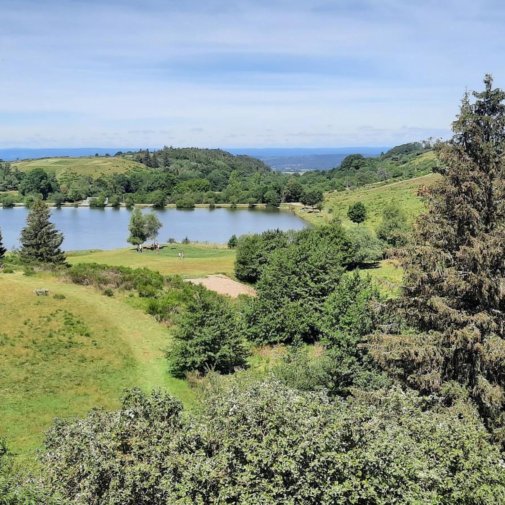
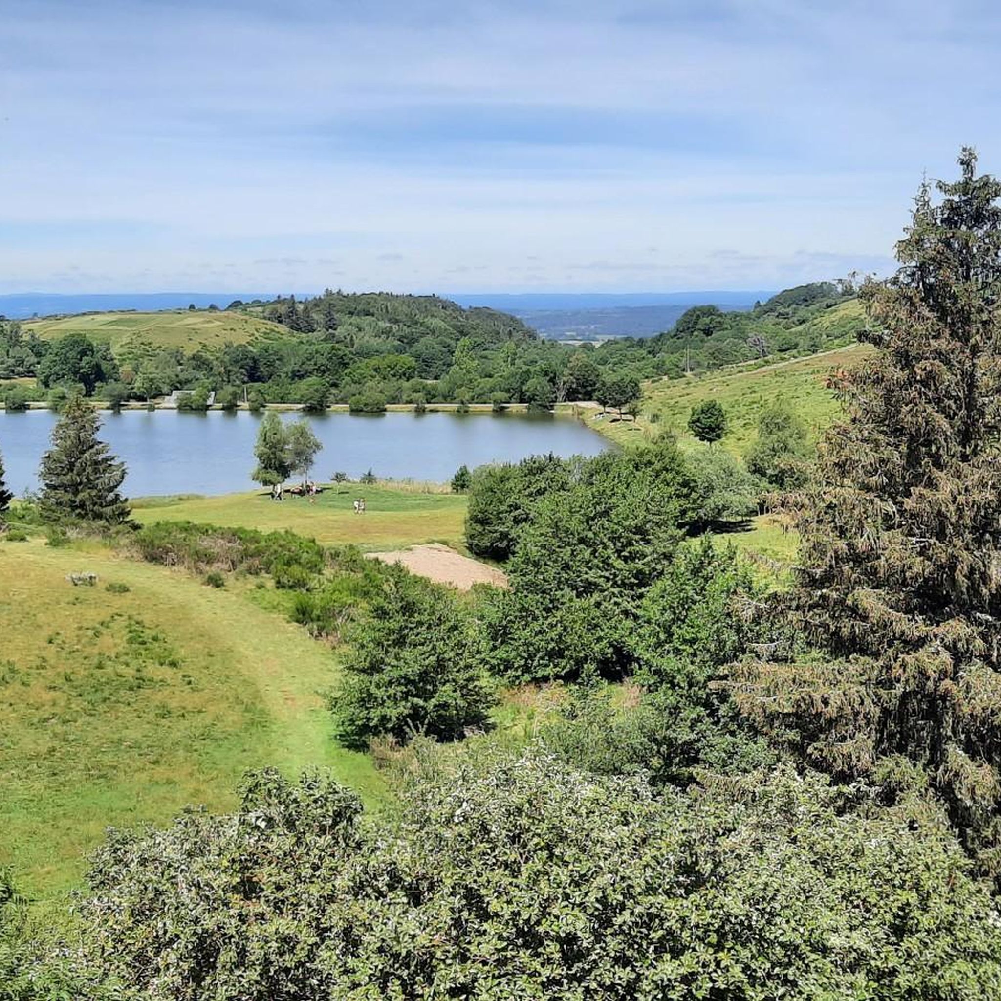
The Col de Guéry, located in the heart of the Auvergne region, offers a picturesque mountain pass experience amidst the volcanic landscapes of the Massif Central. At an altitude of approximately 1,267 metres, the pass offers stunning views of Lake Guéry below, the highest lake in Auvergne. The region is known for its tranquil beauty, with rolling meadows, dramatic volcanic peaks and forests that change colour with the seasons. Nearby Roche Sanadoire and Roche Tuilière add to the spectacular scenery, making it a perfect stop on your hike.
1
0

Site for outdoor activities (cross-country skiing, snowshoeing, hiking, mountain biking), halfway between the Tour d'Auvergne and the towns of Mont-Dore and La Bourboule.
1
0

The Banne d'Ordanche is a 1515 m high volcanic peak in the shape of a neck-shaped crater head. It solidified about 2 million years ago before being planed down by glaciers (https://www.sancy.com/) The views in all directions are phenomenal and the summit is easy to reach - the last part is comfortably via wooden stairs. Due to several nearby car parks, you are rarely alone here in good weather.
3
1
At just over 1480m, the Puy Loup offers a great view in all directions. The small refuge on the summit used to be a tower that belonged to a gliding base that was located on the ridge at the beginning of the 20th century: 'Centre national de vol sans moteur de LA BANNE D'ORDANCHE', https://www.anciens-aerodromes.com/
2
1
There is a viewing platform from which you can have a beautiful view of the waterfall. The 'Ruisseau des Morts du Guéry' drains a large part of the plateau du Guéry. This waterfall can be impressive. It is also the main tributary of the Lac du Guéry.
2
1
Frequently Asked Questions
How many running routes are available in Saint-Sauves-D'Auvergne?
There are over 15 dedicated running routes around Saint-Sauves-D'Auvergne, offering a variety of experiences for different fitness levels. These include moderate paths and more challenging trails through the region's diverse landscapes.
What kind of terrain can I expect on the running trails in Saint-Sauves-D'Auvergne?
The running trails in Saint-Sauves-D'Auvergne offer a diverse range of terrain. You'll encounter volcanic landscapes, including remnants of ancient volcanoes, and routes near the mountainous Massif du Sancy. The region also features the Haute-Dordogne valley, the Artense plateau, extensive forests, and tranquil meadows, providing a mix of riverbanks, open expanses, and varied elevation changes.
Are there any easy jogging routes suitable for beginners or a relaxed run?
While many routes are moderate to difficult, the region offers options for various abilities. For a more relaxed experience, you might consider exploring parts of the Running loop from Saint-Sauves-d'Auvergne, which is rated moderate and covers 10 km through varied terrain. The region also has well-maintained pedestrian routes like the 'Circuit Le Pré de l'Eau' (11km) which winds along the Dordogne.
What are some scenic highlights or natural features I can see while running?
Many routes offer breathtaking views of the Sancy Massif and the Dordogne. You can also encounter natural monuments like waterfalls and scenic lakes such as Lac de Guéry. Specific highlights include the volcanic peaks of La Banne d'Ordanche and Puy des Crebasses, and the impressive The Grande Cascade of Mont-Dore.
Are there any running routes that pass by lakes or waterfalls?
Yes, the region is known for its natural beauty, including lakes and waterfalls. The Puy Loup – Lake Guéry loop is a notable route that offers views of volcanic landscapes and the serene Lac de Guéry. You can also find routes near The Grande Cascade of Mont-Dore.
What do other runners enjoy most about jogging in Saint-Sauves-D'Auvergne?
The running routes in Saint-Sauves-D'Auvergne are highly rated by the komoot community, with an average score of 4.5 stars from over 40 reviews. Runners frequently praise the diverse terrain, the stunning volcanic landscapes, and the preserved natural environment within the Auvergne Volcanoes Regional Natural Park, which provides clean air and tranquil scenery.
Are there any circular running routes in the area?
Yes, many of the running paths around Saint-Sauves-D'Auvergne are circular, allowing you to start and end at the same point. Examples include the Saint-Laurent Pass – La Banne d'Ordanche loop and the Pré Cohadon Pond loop, offering convenient options for your run.
What is the best time of year for running in Saint-Sauves-D'Auvergne?
Saint-Sauves-D'Auvergne is an excellent destination for outdoor activities throughout much of the year. Spring and autumn offer pleasant temperatures and beautiful scenery with changing foliage. Summer provides longer daylight hours, though some higher elevation trails might be more exposed. The preserved environment ensures clean air, making it enjoyable in most seasons.
Are there any running routes with significant elevation changes for a challenging workout?
Absolutely. The region, being near the Massif du Sancy and featuring volcanic landscapes like La Banne d'Ordanche and Puy des Crebasses, offers significant elevation changes. Routes like the Puy Loup – Lake Guéry loop are rated difficult and provide challenging ascents and descents for experienced runners.
Can I find running routes that are suitable for families?
While specific 'family-friendly' designations aren't always available, many of the easier and moderate routes through forests and meadows can be enjoyable for families. Look for shorter, less steep sections of trails like the 'Circuit Le Pré de l'Eau' (11km, easy) which offers pleasant walks along the Dordogne, or consider the La Banne d'Ordanche (1,513 m) – Saint-Laurent Pass loop for a moderate, shorter option.
Are there amenities like parking or cafes near the running trails?
The municipality actively promotes outdoor activities, and trails are generally well-marked. Many routes start from or pass through hamlets, which may offer local amenities. For specific routes, it's advisable to check the komoot tour details for information on parking and nearby facilities. The region's focus on outdoor tourism means you'll often find services in nearby villages.
Most popular routes around Saint-Sauves-D'Auvergne
Most popular attractions around Saint-Sauves-D'Auvergne

Get inspired with the komoot mobile app


Explore more
Browse the best Running Trails & Routes in other regions.
