The best running trails around Le Cendre
4.5
(94)
3,216
runners
25
runs
Jogging routes around Le Cendre offer varied terrain, from riverside paths to green spaces. The commune is characterized by its commitment to preserving natural areas, with nearly 200 hectares maintained in their natural state. The Auzon river meanders through the territory, providing tranquil settings for running. Its location also provides access to the wider natural landscapes of the Auvergne region.
Best jogging routes around Le Cendre
- The most popular jogging route is Pathway by the Allier River – Exceptional view…
Last updated: June 29, 2026
5.0
(1)
32
runners
Hard run. Very good fitness required. Mostly paved surfaces. Suitable for all skill levels.
35
runners
Hard run. Very good fitness required. Mostly paved surfaces. Suitable for all skill levels.

Sign up for free
4.5
(4)
44
runners
13.8km
01:28
90m
90m
Moderate run. Good fitness required. Mostly paved surfaces. Suitable for all skill levels.
12
runners
5.46km
00:37
20m
20m
Moderate run. Good fitness required. Mostly paved surfaces. Suitable for all skill levels.
7
runners
6.50km
00:43
30m
30m
Moderate run. Good fitness required. Mostly paved surfaces. Suitable for all skill levels.
Get access to more routes and recommendations from other explorers.
Sign up for free
Already have an account?
Our route recommendations are based on thousands of hikes, rides, and runs completed by other people on komoot.
Start today with a free account
Your next adventure awaits.
Login or Signup

Tips from the Community

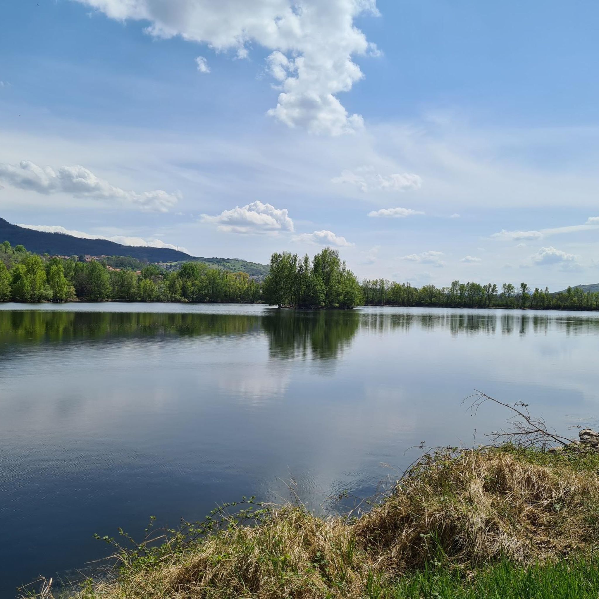
Near the Allier, this passage offers a bit of flatness in the middle of a hilly landscape. A pleasant place mixing woods and bodies of water.
0
0


Lots of development on the edge of Allier, tarmac path or wide stabilized track. But some playful and very nice singles survive!!!
0
0

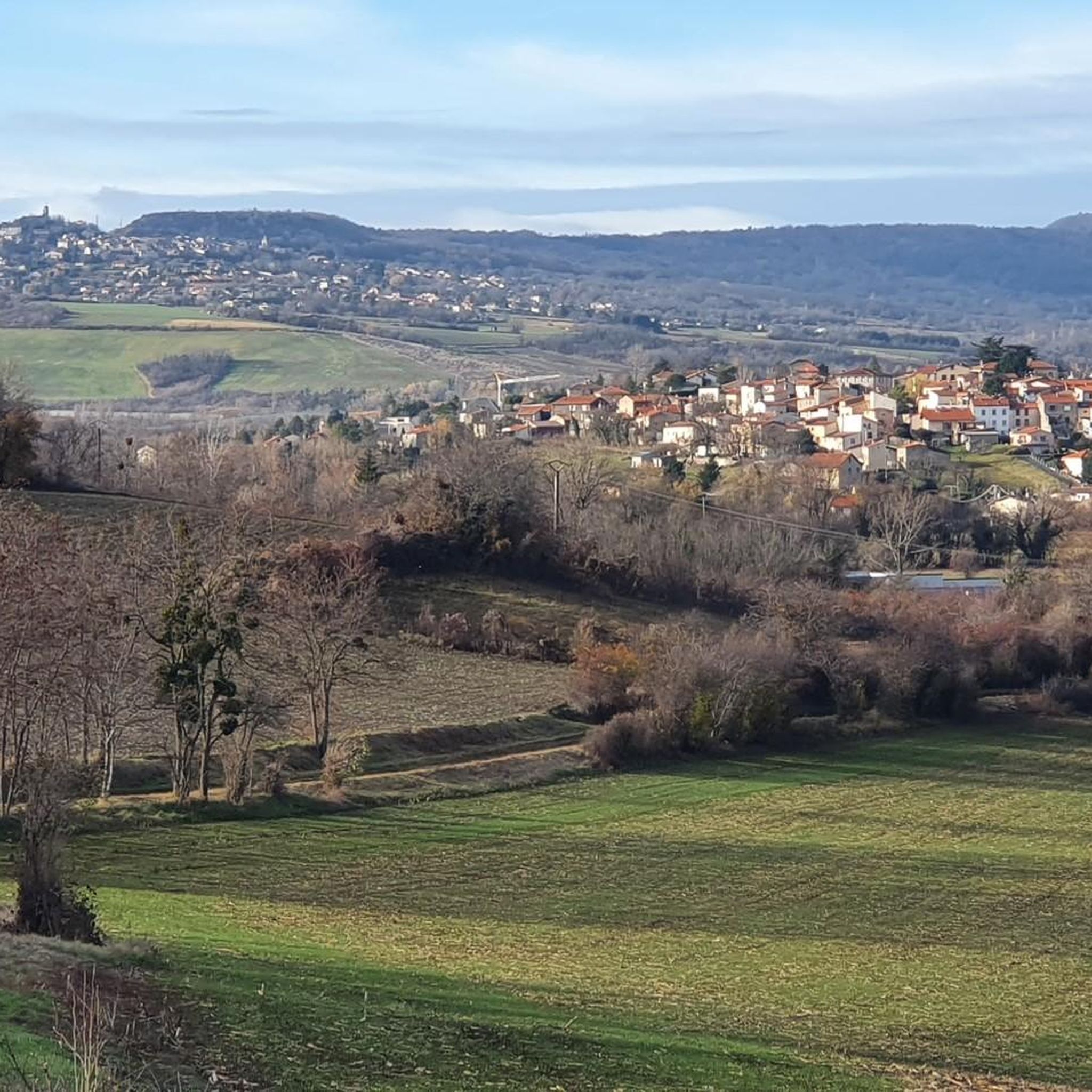
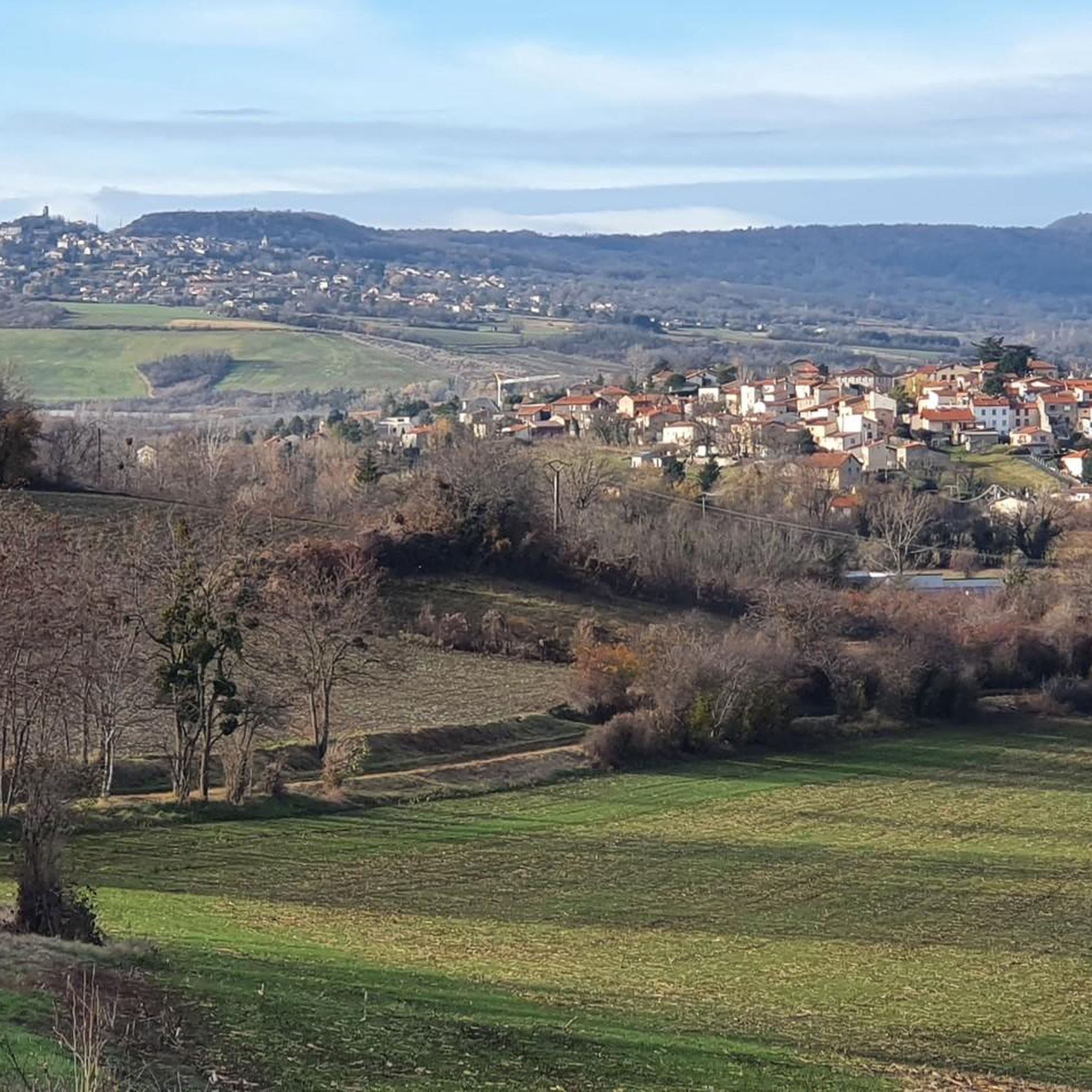
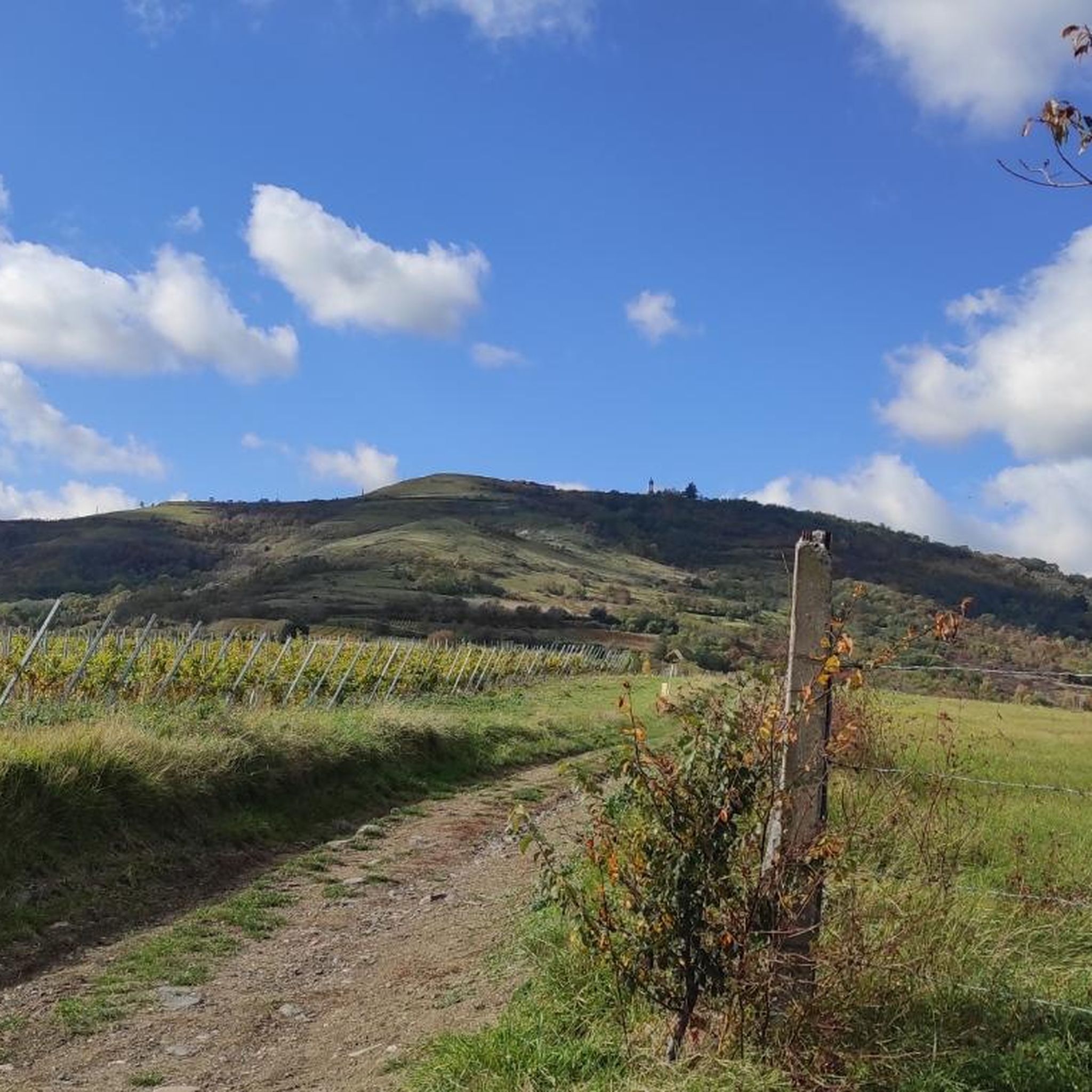
Rolling path with a view, at the back, of the Puy chain
0
0

The green corridor on the south bank of the Auzon between Cendre and Cournon allows you to escape from the city.
0
0
The Via Allier greenway and the landscaped lake of Cournon allow you to cut off from the nearby town.
0
0

Path and single track along the Allier, pleasant and very rolling.
0
0

single-track winding along the water's edge. Attention hikers, there is not much space
0
0
Frequently Asked Questions
How many running routes are available in Le Cendre?
Le Cendre offers a diverse selection of nearly 20 running routes, catering to various fitness levels. You'll find everything from easy loops to more challenging trails.
Are there any easy jogging routes suitable for beginners in Le Cendre?
Yes, Le Cendre has several easy running routes perfect for beginners or those looking for a relaxed pace. There are at least two designated easy routes, and many of the moderate trails also offer gentle terrain, particularly along the river paths.
What kind of terrain can I expect on the running trails around Le Cendre?
The running trails in Le Cendre feature varied terrain, from tranquil riverside paths along the Auzon and Allier rivers to dedicated green corridors like La Coulée Verte. You'll also find routes that traverse local green spaces and offer views of the surrounding natural landscapes, including some with moderate elevation changes.
Are there any family-friendly running routes in Le Cendre?
Absolutely! La Coulée Verte, a green corridor stretching approximately 6 kilometers along the Auzon river, is particularly family-friendly. It's a tranquil path with greenery and play areas, making it suitable for runners with children or those looking for a leisurely stroll.
Can I find circular jogging routes in Le Cendre?
Yes, many of the running routes in Le Cendre are designed as loops, offering convenient circular options. For example, the Running loop from Le Cendre - Orcet is a popular moderate 5.5 km circuit, and the Running loop from Le Cendre offers a 6.5 km option through local green spaces.
What do other runners say about the trails in Le Cendre?
The running routes in Le Cendre are highly regarded by the komoot community, boasting an average rating of 4.5 stars from over 80 reviews. Runners often praise the area's commitment to preserving natural spaces, the tranquil riverside paths, and the variety of options available for different skill levels.
Are there any scenic viewpoints or natural attractions along the running routes?
Yes, Le Cendre's natural setting provides several scenic spots. You can enjoy expansive views along the Allier River on routes like Pathway by the Allier River – Exceptional view loop from Le Cendre - Orcet. Nearby natural highlights include the Artière Gorges and the Gergovie Plateau, offering beautiful landscapes to explore.
Are there any historical landmarks or points of interest near the running trails?
While running, you might encounter views of historical sites. For instance, the View of Busseol castle is a notable landmark in the vicinity. Additionally, the Chapel in the courtyard of Busséol Castle offers a glimpse into the region's heritage.
What is the longest running route available in Le Cendre?
For those seeking a longer challenge, the Pathway by the Allier River – Exceptional view loop from Le Cendre - Orcet is the longest route, covering approximately 18.9 kilometers (11.7 miles) and typically taking over two hours to complete.
Are there any running routes that offer a cross-country experience?
Yes, if you're looking for a more rugged, cross-country style run, consider the Orcet Cross-Country Circuit – Puy de Tobize loop from Le Cendre. This route covers about 11.2 kilometers and includes more significant elevation changes, providing a good workout.
Is Le Cendre a good base for exploring wider natural areas while running?
Absolutely. Le Cendre's location on the outskirts of Clermont-Ferrand and its proximity (about 30 km) to the Volcanoes of Auvergne nature park make it an excellent starting point for exploring more extensive and diverse natural landscapes beyond the immediate commune.
What makes Le Cendre a unique place for jogging?
Le Cendre is known as a 'city of nature,' with a significant portion of its land maintained in its natural state. This commitment to green spaces, particularly the tranquil Auzon river and La Coulée Verte, provides a privileged and serene environment for runners, allowing them to experience rich local natural heritage.
Most popular attractions around Le Cendre

Get inspired with the komoot mobile app


Explore more
Browse the best Running Trails & Routes in other regions.
