The best running trails around Pérignat-Lès-Sarliève
4.4
(286)
10,477
runners
18
runs
Jogging routes around Pérignat-Lès-Sarliève are set within the diverse natural landscapes of the Puy-de-Dôme department in central France. The region features unique volcanic terrain, including proximity to the Plateau de Gergovie and rolling hills. Extensive trail networks traverse vineyards, forests, and protected natural zones, offering varied running experiences.
Best jogging routes around Pérignat-Lès-Sarliève
- The most popular jogging route is Seul Pérignat gadoue – Le Haras de Prat loop from Pérignat-lès-Sarliève, a 5.3 miles (8.6 km) moderate trail that takes…
Last updated: July 5, 2026
5.0
(3)
31
runners
10.5km
01:06
40m
40m
Moderate run. Good fitness required. Mostly paved surfaces. Suitable for all skill levels.
36
runners
12.2km
01:37
360m
360m
Hard run. Very good fitness required. Mostly accessible paths. Some sure footedness required.

Sign up for free
34
runners
9.47km
01:15
280m
280m
Moderate run. Good fitness required. Mostly accessible paths. Some sure footedness required.
13
runners
7.19km
00:53
170m
160m
Moderate run. Good fitness required. Mostly paved surfaces. Suitable for all skill levels.
7
runners
7.42km
00:53
100m
100m
Moderate run. Good fitness required. Mostly paved surfaces. Suitable for all skill levels.
Get access to more routes and recommendations from other explorers.
Sign up for free
Already have an account?
Our route recommendations are based on thousands of hikes, rides, and runs completed by other people on komoot.
Start today with a free account
Your next adventure awaits.
Login or Signup

Tips from the Community

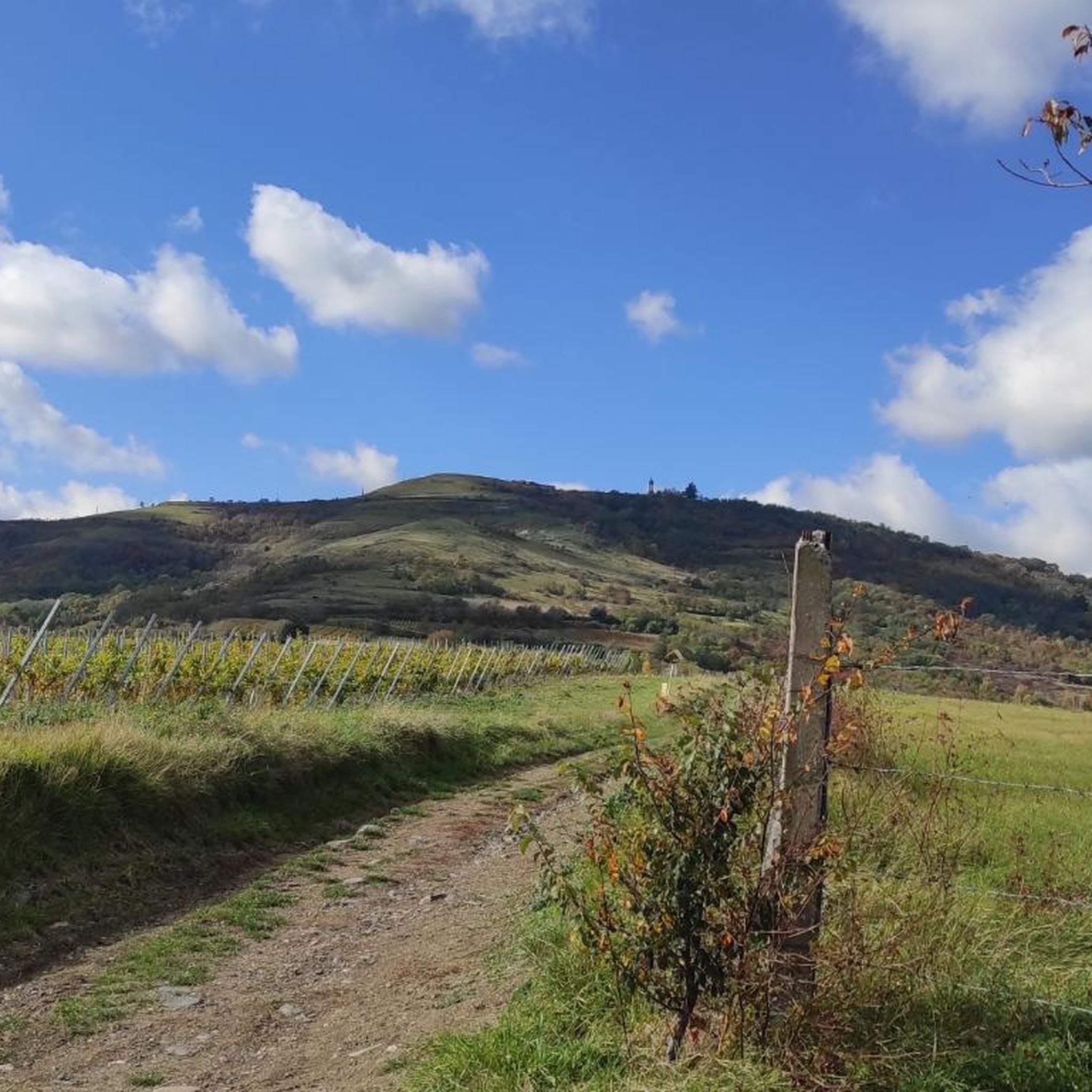
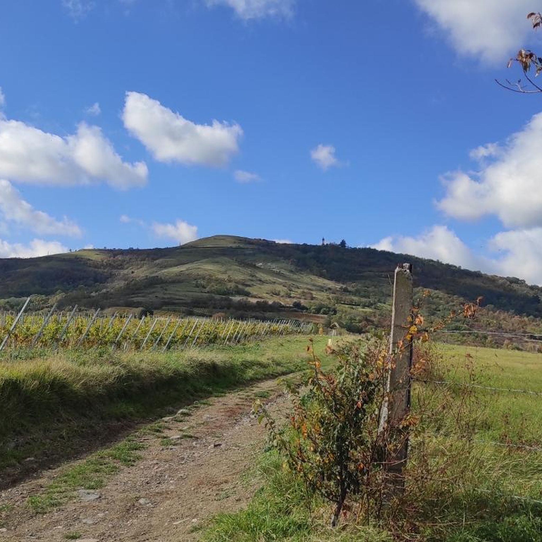
This Volvic stone monument, 26 meters high, celebrates Vercingetorix's victory over Julius Caesar in 52 BC. J.-C on this plateau then Gallic oppidum.
0
0
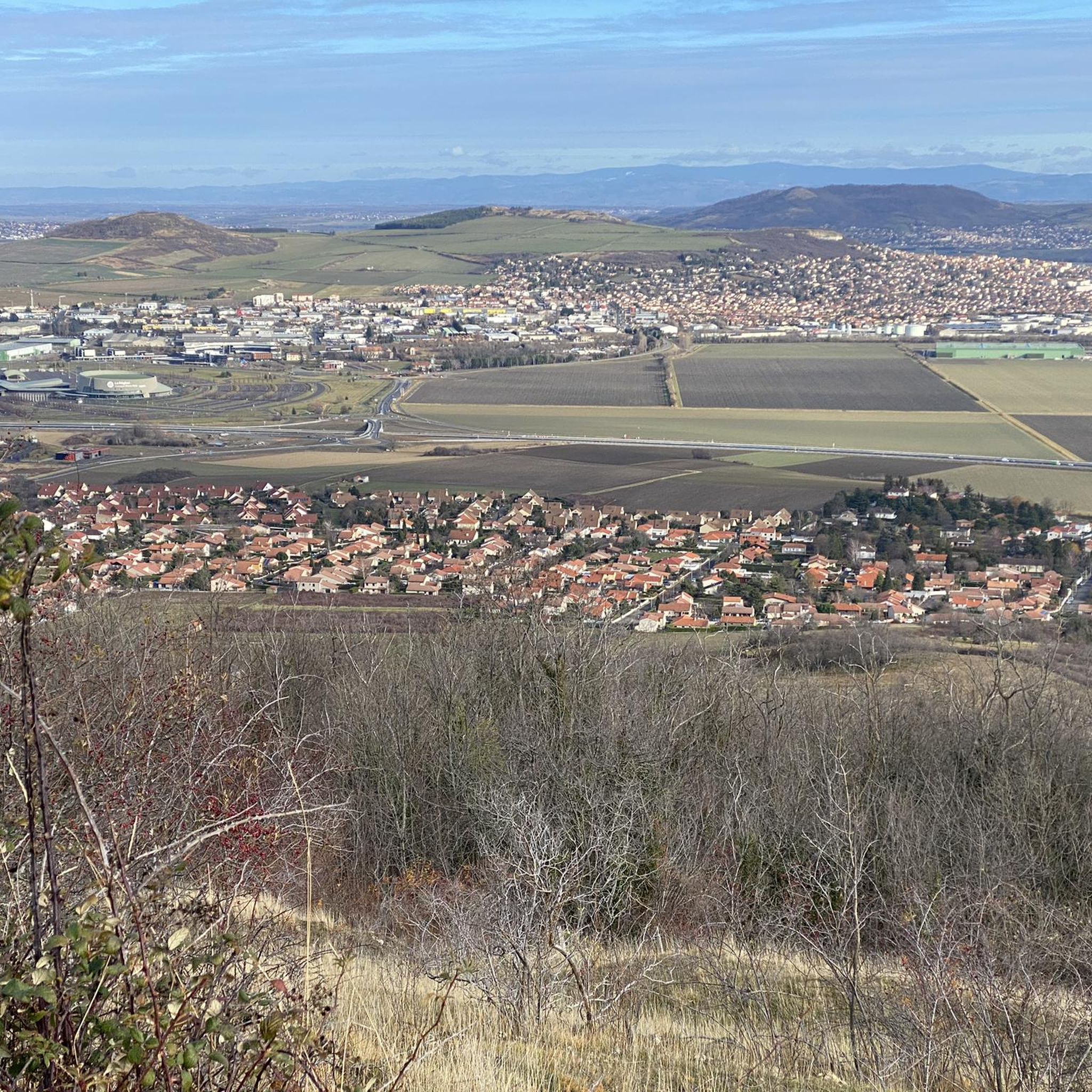
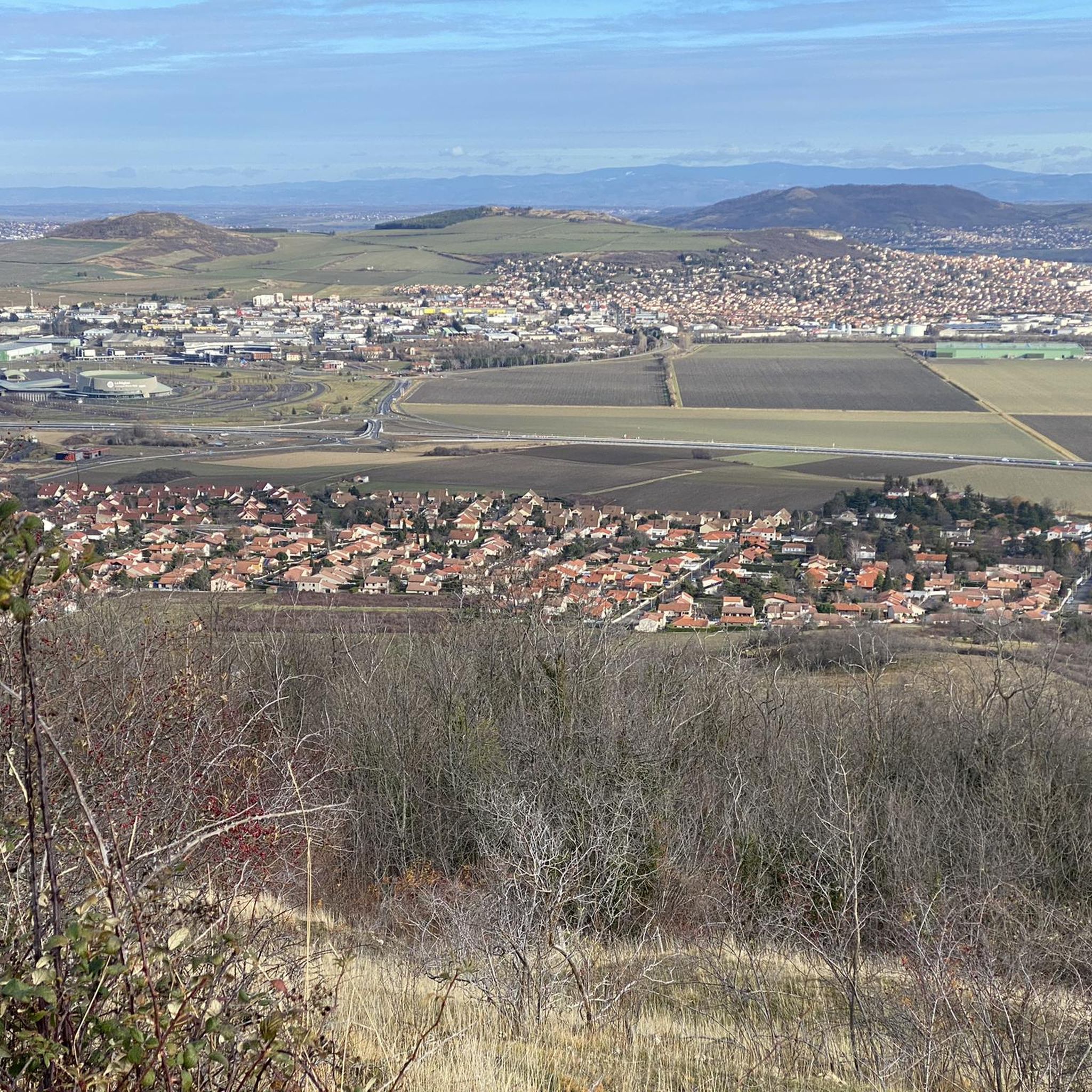
The northern end of the plateau offers magnificent views of the Chaîne des Puys and the Clermont area.
0
0
The east of the plateau offers beautiful views of the Limagne plain and the Forez mountains.
0
0
The northern end of the plateau offers magnificent views of the Chaîne des Puys and the Clermont area
1
0

The Gergovie Monument, or Memorial to Vercingetorix, erected in 1900 on the eastern edge of the Gergovie Plateau, to celebrate Vercingetorix's victory over Caesar at this site in 52 BC. J.-C.
1
0

Frequently Asked Questions
What kind of terrain can I expect on the running routes around Pérignat-Lès-Sarliève?
The region offers a diverse mix of terrains, reflecting its unique volcanic landscape. You'll find paths traversing the historic Plateau de Gergovie, winding through vineyards and forests, and sometimes featuring rolling hills. This variety ensures an engaging experience for runners.
Are there running routes suitable for beginners or those looking for an easier run?
While the guide highlights moderate to difficult routes, the broader network around Pérignat-Lès-Sarliève includes options with gentler elevation changes. For example, the Running loop from Pérignat-lès-Sarliève is a moderate 10.5 km path with relatively gentle elevation, making it a good choice for those seeking a less strenuous run.
How many running routes are available in the Pérignat-Lès-Sarliève area?
Komoot offers a selection of 16 running routes around Pérignat-Lès-Sarliève. These routes cater to various preferences, with 14 classified as moderate and 2 as difficult, ensuring options for different fitness levels.
What do other runners say about the trails in Pérignat-Lès-Sarliève?
The running routes in Pérignat-Lès-Sarliève are highly regarded by the komoot community, boasting an average rating of 4.4 stars from over 260 reviews. Runners often praise the varied terrain, scenic views, and the well-maintained nature of the paths.
Are there any circular running routes available?
Yes, many of the routes in the area are designed as loops, offering convenient circular runs. Examples include the popular Seul Pérignat gadoue – Le Haras de Prat loop from Pérignat-lès-Sarliève and the challenging Gergovie Monument loop from Pérignat-lès-Sarliève.
Can I find running routes with historical or natural landmarks?
Absolutely. The region is rich in both. The Gergovie Monument loop from Pérignat-lès-Sarliève takes you through the historic Plateau de Gergovie. Additionally, you can find routes offering views of significant natural features like the Puy de Dôme or the Chaîne des Puys.
Are there any running trails that pass by interesting viewpoints?
Yes, the volcanic landscapes and rolling hills provide numerous scenic vistas. Routes around the Plateau de Gergovie often offer expansive views. You can also find specific viewpoints like the Viewpoint over the Chaîne des Puys or the View from Puy Saint-Romain, which are accessible from various trails.
What is the typical length and duration of running routes in this area?
The routes vary in length and duration. For instance, the Seul Pérignat gadoue – Le Haras de Prat loop is about 8.6 km (5.3 miles) and takes approximately 1 hour. Longer options like the Running loop from Pérignat-lès-Sarliève cover about 10.5 km (6.5 miles) in roughly 1 hour and 6 minutes.
Are there any protected natural areas that the running routes traverse?
Yes, the southwestern part of Pérignat-Lès-Sarliève includes protected natural areas, such as a Natura 2000 zone and a Z.N.I.E.F.F. (Natural Zone of Ecological, Faunistic, and Floristic Interest). Some running paths may pass through or near these zones, offering a chance to experience unique flora and fauna.
Can I find running routes that are suitable for families?
While specific 'family-friendly' routes aren't explicitly detailed, the extensive network offers varied options. Shorter, moderate routes with less elevation, such as the Mini trail loop from Pérignat-lès-Sarliève (7.4 km), could be suitable for families looking for a pleasant outdoor activity.
What are some notable attractions near the running trails?
Beyond the trails, you can explore local charm like the Château-Mairie in Pérignat-Lès-Sarliève. Nearby, you'll find cultural sites such as the Cathedral of Our Lady of the Assumption in Clermont-Ferrand, or natural wonders like the Puy de Dôme, a well-known volcanic cone offering panoramic views.
Are there any running routes that offer views of vineyards?
Yes, the eastern slopes of the Gergovie plateau are home to vineyards. Many paths in the area crisscross these ancient vine parcels, providing picturesque views as you run through the agricultural landscape.
Most popular routes around Pérignat-Lès-Sarliève
Most popular attractions around Pérignat-Lès-Sarliève

Get inspired with the komoot mobile app


Explore more
Browse the best Running Trails & Routes in other regions.
