The best walks and hikes around Meursac
4.6
(44)
297
hikers
45
hikes
Hiking around Meursac offers access to diverse landscapes within the Charente-Maritime department of southwestern France. The area is characterized by its proximity to the Gironde estuary, providing coastal paths and views. Inland, hikers can explore forests such as the Forêt de Suzac, along with marshlands. The terrain generally features low elevation changes, making many routes accessible.
Best hiking trails around Meursac
- The most popular hiking route is Hunting lock – Saujon Water Park loop from Saujon, a 3.5 miles…
Last updated: October 18, 2026
4.5
(2)
30
hikers
5.60km
01:25
10m
10m
Easy hike. Great for any fitness level. Easily-accessible paths. Suitable for all skill levels.
5.0
(3)
24
hikers
6.69km
01:42
10m
10m
Easy hike. Great for any fitness level. Easily-accessible paths. Suitable for all skill levels.

4.5
(2)
13
hikers
9.94km
02:31
20m
20m
Moderate hike. Good fitness required. Easily-accessible paths. Suitable for all skill levels.
6
hikers
3.92km
01:00
10m
10m
Easy hike. Great for any fitness level. Easily-accessible paths. Suitable for all skill levels.
11
hikers
2.40km
00:37
10m
10m
Easy hike. Great for any fitness level. Easily-accessible paths. Suitable for all skill levels.
Get access to more routes and recommendations from other explorers.
Already have an account?
Our route recommendations are based on thousands of hikes, rides, and runs completed by other people on komoot.
Start today with a free account
Your next adventure awaits.

Tips from the Community

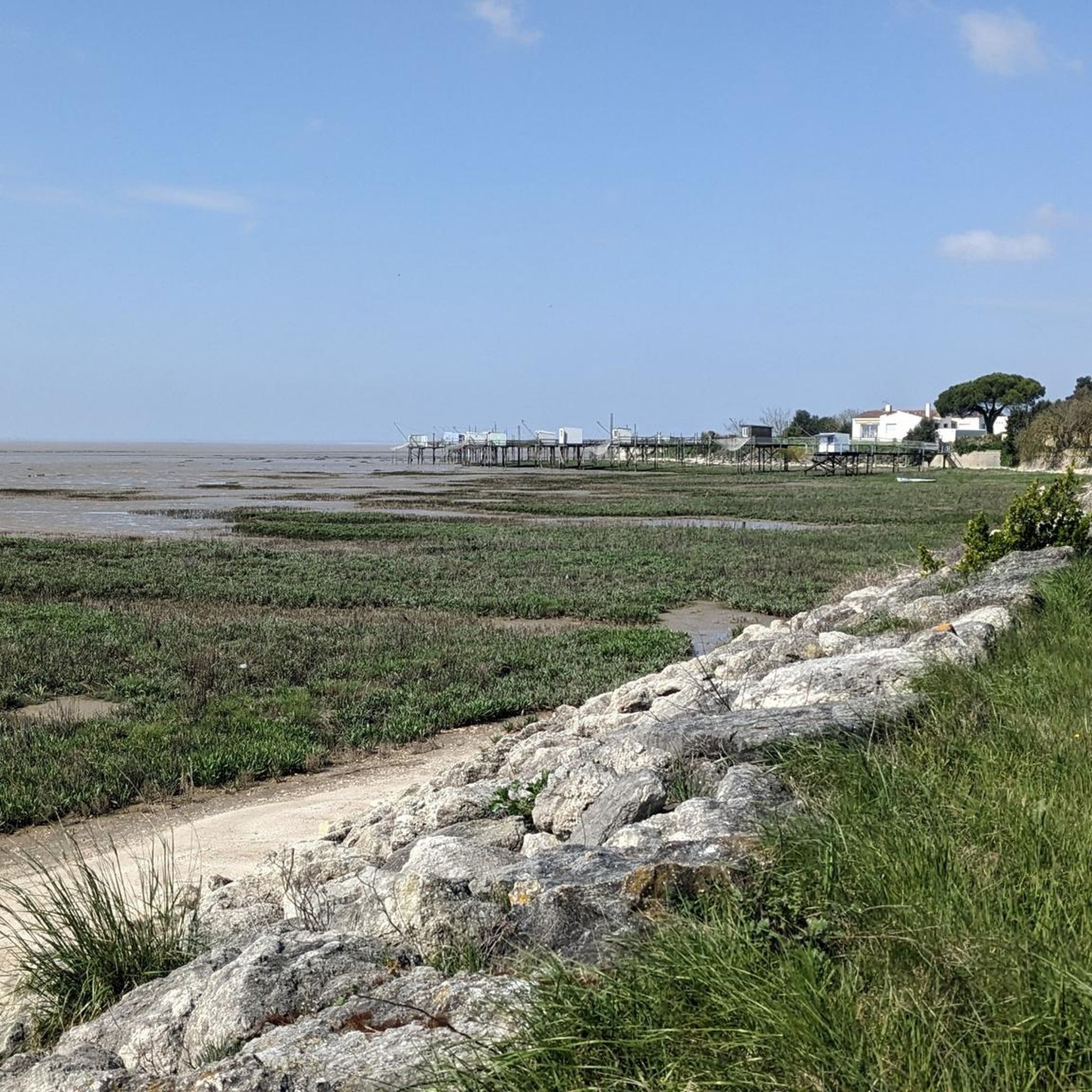
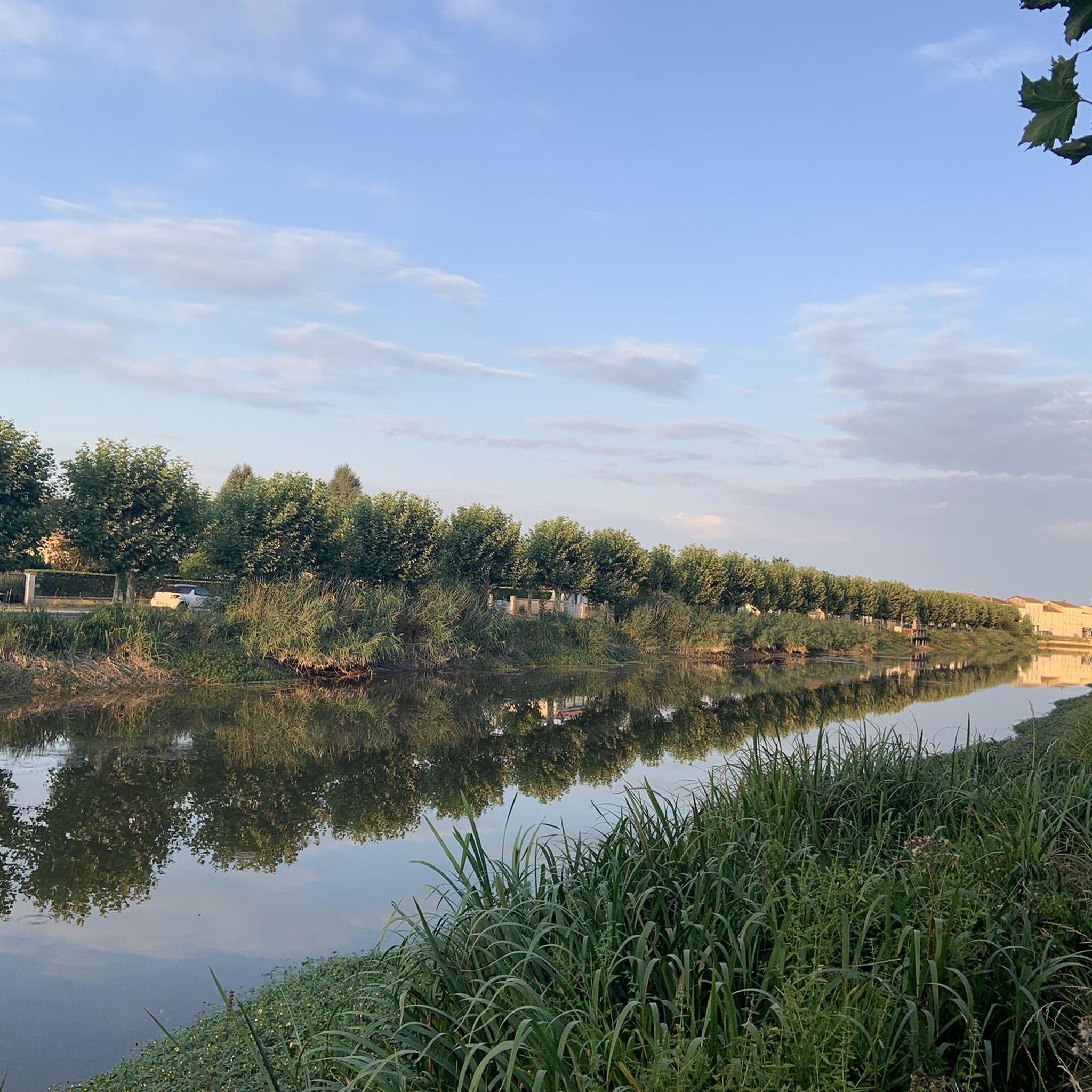
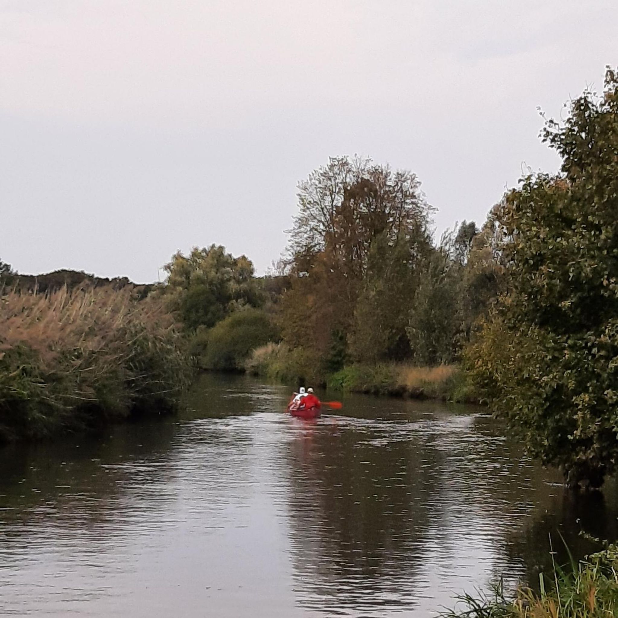
The port of Ribérou is a major heritage site in Saujon, bearing witness to a prosperous maritime past linked to the salt and wine trade. Transformed in the 19th century by ambitious works, it has now been reinvented as a place for living, relaxation, and preserving local history. 🛶 Origins and the Middle Ages The port of Ribérou takes its name from the Latin word ripa ("riverbank") or the Occitan word ribèira ("river"). It is located at the head of the Seudre estuary. It existed as early as the 11th century and became an important river and sea port thanks to its strategic position at the head of the estuary, used particularly for the salt trade—then called "white gold"—a highly sought-after product for preserving food. 🚢 Medieval Period and International Trade With the opening of British markets during the reigns of Eleanor of Aquitaine and Henry II Plantagenet, ships laden with wool, salt, wine, and other goods flocked to Ribérou. In the 16th century, the port exported local wines (such as cognac and pineau) throughout Europe. In 1577, during the Wars of Religion, the port was a strategic site: troops were stationed there, and battles took place. 🏗️ Decline, Reconstruction, and the 19th Century The estuary gradually silted up, making navigation difficult. By 1691, only smaller vessels could dock there. During the French Revolution, the sale of the tidal mill, which helped remove sediment, worsened the silting, leading to the port's decline. A modernization project began in 1822, but it wasn't until 1839 that an ambitious program was launched under the impetus of Jules Dufaure—a native of Saujon and Minister of Public Works—with the construction of sturdy quays, slipways, a lock bridge (marking the boundary between fresh and salt water), and reception facilities. In 1842, the work was completed, and the main quay was named Quai Dufaure in honor of this political support. 📉 Gradual Decline and Modernization The arrival of the railway in 1876 and the persistent problems of silting led to a decline in the port's traditional commercial activity, already facing competition from other transport networks. In the 20th century, the port gradually lost its economic importance but remained active for traditional fishing and became a place for pleasure boating, leisure, and local culture. Urban and tourism development projects (particularly in 2011–2012) modernized the port while preserving its historical charm. 🌊 Today The port of Ribérou is now a small fishing and pleasure port, much appreciated for its walks along the Seudre River, water sports (canoeing, kayaking, paddleboarding, etc.), and seasonal events.
0
0
🪩 The Louis Mérit and Roger Mauret Pétanque Court The Saujon pétanque court, officially named the Louis Mérit and Roger Mauret Pétanque Court, is a municipal facility located on the Voie de la Taillée in Saujon. It consists primarily of a pétanque court with a stabilized/cinder surface, suitable for both pétanque and jeu provençal. 📅 Origins and Development There is no precise official date published by the town hall or readily accessible online local archives, but sports directories indicate that this facility could date from 1965–1974 (estimate based on local data for referenced sports facilities). → This suggests that the courts were already in place in the second half of the 20th century, corresponding to a period when pétanque clubs were becoming more structured in France and dedicated municipal facilities were often created. 🏆 Activity and Functions Over Time The pétanque court hosts local pétanque competitions and events, including competitions open to the public such as those organized as part of community events (for example, a "Pink October" competition in October 2025). It is used by individual players, recreational groups, and the local pétanque club (Pétanque Saujon-Vaux), which organizes official FFPJP competitions—including departmental qualifiers and championships—at its facilities in Saujon and Vaux-sur-Mer. 🏅 Name and Local Recognition The naming of the court after Louis Mérit and Roger Mauret suggests that these two individuals likely made a significant contribution to pétanque or community life in Saujon (such names often honor active members of the local sports community), but online sources do not provide detailed biographies of these individuals. → More detailed information can be obtained by consulting the municipal archives, local association newsletters, or by contacting the Saujon town hall. 🏡 Position in local life The pétanque court is part of the traditional outdoor sports landscape in Saujon, alongside other municipal facilities (stadium, swimming pool, tennis courts, etc.), and testifies to the deep roots of pétanque in local culture for several decades.
0
0
🏊♂️ Origins and Opening The Saujon swimming pool, now known as Espace Aquatique de la Lande, opened on June 22, 1995. It will therefore celebrate its 30th anniversary in 2025, with festive events planned to mark the occasion. ⚙️ Community Management For approximately 30 years, the facility was managed by a Single-Purpose Intermunicipal Syndicate (SIVU), bringing together several municipalities in the local area (including Saujon, Balanzac, Corme-Écluse, L’Éguille-sur-Seudre, etc.). This structure facilitated access to swimming, aquatic activities, and swimming lessons for local residents. 📉 End of the Syndicate and Transfer In 2025, the SIVU was dissolved, marking a new chapter in the swimming pool's history. The financial review and preparations for the transfer were completed at the last delegates' meeting. As of July 1, 2025, the management and responsibility for the swimming pool have been transferred to the Royan Atlantique Agglomeration Community (CARA) as part of a community swimming pool plan aimed at pooling resources, harmonizing services, and preparing for the facility's renovation. 🧠 Role and Local Impact The facility is considered a key leisure and aquatic sports venue for Saujon and the surrounding towns, attracting more than 80,000 visitors annually and offering a variety of activities such as swimming, aquagym, aquabiking, and sessions adapted for people with disabilities. 🛠️ Future Prospects As part of the CARA swimming pool plan, the Saujon swimming pool is slated for future renovation and is expected to be integrated into a larger network of aquatic facilities including other towns (such as Royan, Étaules, and Cozes). 📍 Current Features The aquatic center currently includes: A 25-meter indoor pool with a gradual depth, A paddling pool and outdoor pools with water slides (seasonal), Indoor and outdoor swimming slots depending on the time of year.
0
0

The flushing lock is located at the head of the port, between the north bank's embankment and the south bank's quay. A retention basin, occupying the non-navigable Seudre riverbed as far as Saujon, follows the flushing lock. Within the retention basin, rubble stone embankments extend the lock's return walls for a few meters. The lock itself forms a bridge carrying a road. The lock bridge consists of two piers, forming three arches, each housing two gates. On the upstream side of the lock, the piers have semicircular cutwaters. The three bands are stacked and terminate in clamps. The lock ends with a cornice resting on modillions. The cornice follows the shape of the cutwaters. A metal balustrade, also semicircular in shape, is fixed to the top of the lock. This balustrade is framed by two stone moldings. The sluice gate and its upstream and downstream return walls are constructed of dressed stone. The masonry is of medium and regular quality, except for the coping of the return walls, which features large and regular masonry. The upstream north return wall is lower than the one on the south bank. A small parapet of recently constructed white rubble masonry surmounts it. The sluice gate is equipped with metal gates, the modern racks of which are visible. The first sluice gate was built around 1825 on the site of a former tidal mill. During the works carried out between 1839 and 1842, the sluice gate's embankment was modified to allow the passage of vehicles. Between 1847 and 1853, the lock was enlarged to allow for larger flushes, and the reservoir was excavated. Return walls were also built to connect the flushing lock to the riprap. It was then restored in 1865 and completely rebuilt between 1868 and 1869. The lock is 10.50 m wide, and its gates are each 1.50 m wide. The reservoir is 700 m long and has an average width of 30 m.
0
0

The Lalande lake hosts a watersports center with various games for children and adults, from beginners to experienced paddlers. The joys of sliding on different surfaces. Adult beginners can come and try it without reservation. All the advice they need to get started and progress is available. The modules await even the most experienced. WATER SKIING This is the historic discipline; it needs no introduction! Very easy to access, water skiing provides a quick transition to wakeboarding. KNEEBOARDING Kneeling on a board allows children and beginners to familiarize themselves with the ski lift, easily mastering the start and turning lines. WAKEBOARDING This is the premier discipline of water skiing. Wakeboarding allows for numerous tricks on the water, in the air, and on the modules. WAKESKATING A real skateboard on the water: the feet are not attached to the board. Watersports guaranteed! AQUA GAMES A water-based inflatables course for children and adults. Accessible from age 4, accompanied by an adult. And if you're feeling peckish, the snack bar awaits. You can also enjoy a meal on-site, overlooking the lake. Burgers, paninis, salads, tapas, ice cream... A comprehensive menu to delight the whole family between sessions above, in, or on the water ;)
0
0
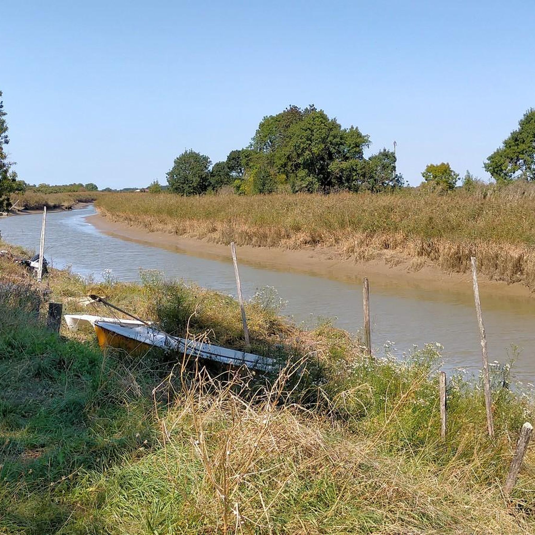
This path starts at the Ribérou port in Saujon (on the right bank, following the current) and continues for a few kilometers, stopping in front of some marshes. It runs alongside the Saujon lake and its aquatic activities, and can even be reached by taking a small bridge on the right. All along the way, you'll find benches (often in the shade) where you can rest if necessary.
0
0
Frequently Asked Questions
How many hiking trails are available around Meursac?
There are over 40 hiking trails around Meursac, offering a variety of experiences. The region provides options for different ability levels, with more than 20 easy routes and 18 moderate excursions to explore.
What kind of landscapes can I expect to see on hikes near Meursac?
Hiking around Meursac offers diverse landscapes. You can explore coastal paths with stunning views near the Gironde estuary, such as those around Talmont-sur-Gironde and Meschers-sur-Gironde. Inland, you'll find charming forest paths, including the coastal Forêt de Suzac, and tranquil marshlands like those near Mornac-sur-Seudre.
Are there any easy or beginner-friendly hiking routes in the area?
Yes, Meursac is well-suited for easy and beginner-friendly hikes. More than half of the routes, specifically 22 of them, are rated as easy. A good option for a gentle stroll is the Hunting lock loop from Saujon, which is just under 2.4 km long.
Are there any circular walks around Meursac?
Many of the trails around Meursac are designed as circular routes, perfect for returning to your starting point. For example, the Hunting lock – Saujon Water Park loop from Saujon is a popular 5.6 km circular trail that takes about 1 hour 25 minutes to complete.
What are the best times of year to go hiking in Meursac?
The mild oceanic climate of the Charente-Maritime region ensures pleasant hiking conditions throughout the year. Spring and autumn offer comfortable temperatures and beautiful scenery, while summer provides warm weather for coastal walks. Even winter can be suitable for hiking, though some coastal paths might be windier.
Are there any family-friendly hiking options near Meursac?
Many of the easy routes around Meursac are suitable for families. The generally low elevation changes make them accessible for all ages. Consider the Hiking loop from Saujon, an easy 6.7 km path that explores the surroundings and is popular with local hikers.
What interesting landmarks or attractions can I see while hiking near Meursac?
While hiking near Meursac, you can discover several interesting points. The area features historical sites like vestiges of the Atlantic Wall in the Forêt de Suzac. You can also explore unique geological features such as the impressive limestone cliffs and troglodyte caves like the Grottes de Régulus and Matata near Meschers-sur-Gironde. For specific points of interest, consider visiting Riberou Port or the historic Saint-Romain Church of Saint-Romain-de-Benet.
What do other hikers enjoy most about hiking in Meursac?
The hiking trails around Meursac are highly rated by the komoot community, with an average score of 4.5 stars from over 30 reviews. Hikers often praise the diverse terrain, from coastal paths to forested areas, and the blend of natural beauty with historical points of interest. The accessibility of many routes for different ability levels is also frequently appreciated.
Are there any longer or more challenging routes for experienced hikers?
While most routes are easy to moderate, there are options for longer excursions. The Hunting lock – Boulodrome of the pétanque club loop from Saujon is a moderate 11 km trail, offering a more extended experience through varied local scenery.
Is there parking available at the trailheads around Meursac?
While specific parking details for every trailhead are not provided, Meursac and its surrounding towns like Saujon are generally accessible by car. It is advisable to check local signage or use navigation apps for parking information near your chosen starting point, especially in smaller villages or popular coastal areas.
Can I reach hiking trails near Meursac using public transport?
Meursac is a smaller commune, and public transport options directly to all trailheads might be limited. However, regional bus services connect larger towns in Charente-Maritime. For specific routes, it's recommended to check local transport schedules for connections to towns like Saujon, Talmont-sur-Gironde, or Meschers-sur-Gironde, which serve as common starting points for hikes.
Are dogs allowed on the hiking trails around Meursac?
Generally, dogs are welcome on many hiking trails in the Charente-Maritime region, especially in natural areas and forests. However, it's always best to keep them on a leash, especially in protected areas, near livestock, or during bird nesting seasons in marshlands. Always check for specific local regulations or signage at the trailhead.
Most popular attractions around Meursac

Get inspired with the komoot mobile app


Explore more
Browse the best Hikes in other regions.
