The best walks and hikes around Charbonnier-Les-Mines
4.6
(414)
2,630
hikers
95
hikes
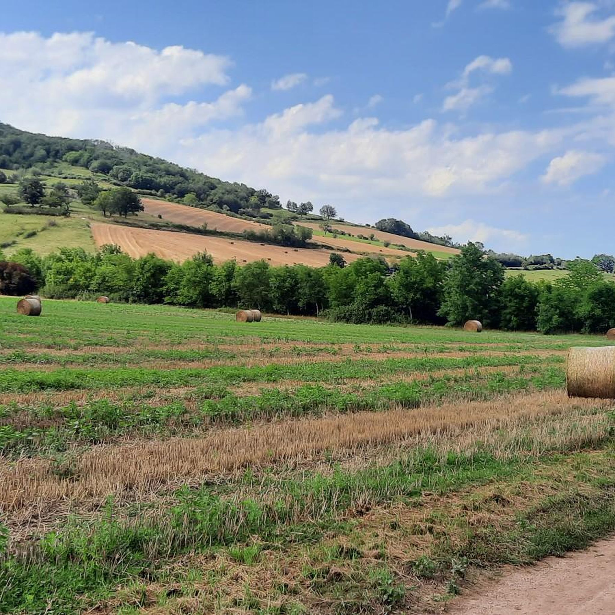
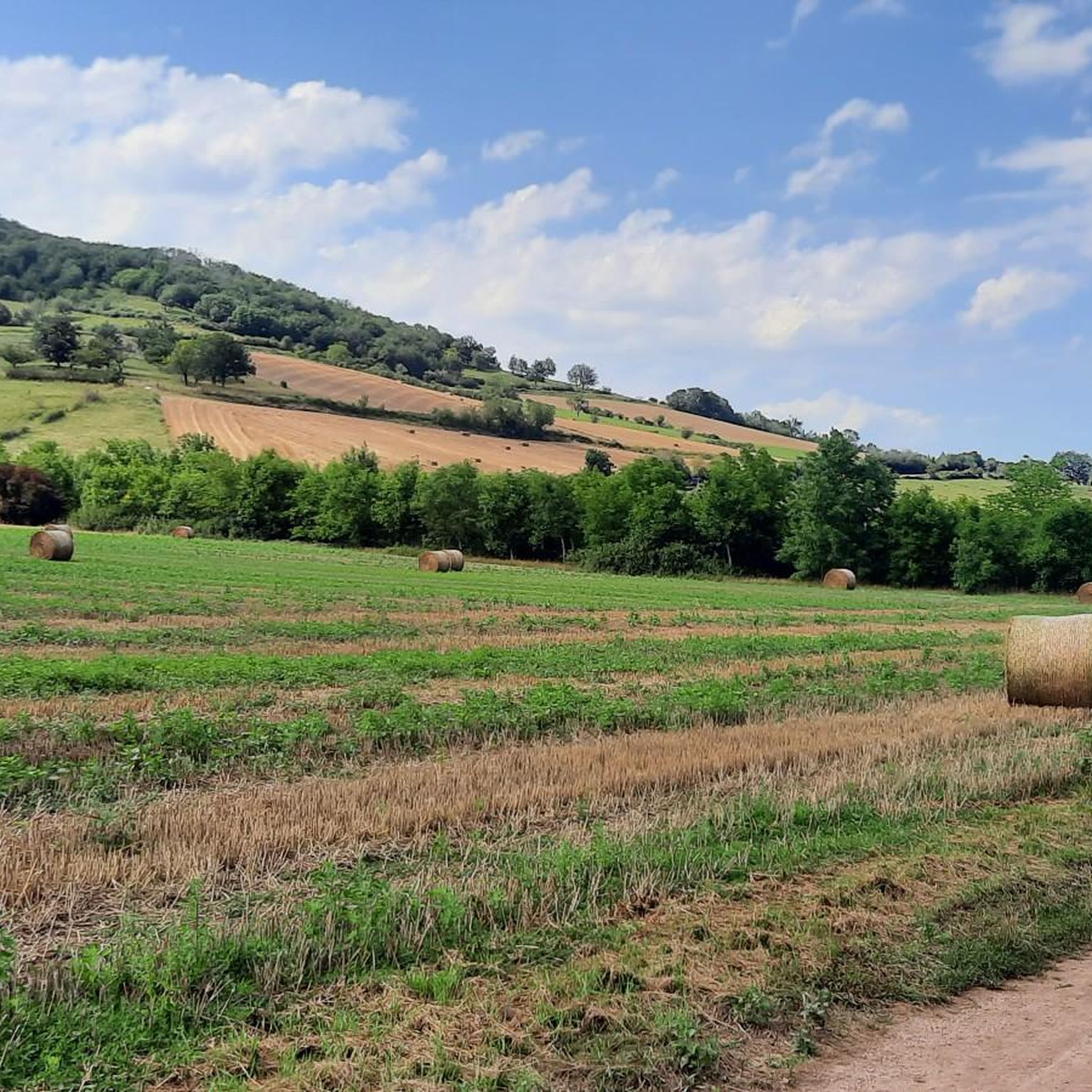
Hiking around Charbonnier-Les-Mines offers diverse landscapes in the Puy-de-Dôme department of the Auvergne-Rhône-Alpes region. The area features the Allagnon River Valley, known for its scenic riverside paths, and a volcanic terrain with numerous "puys" providing panoramic views. Geological formations such as the Falaise des Mottes limestone cliffs and the "fairy chimneys" of the Vallon des Fosses characterize the region's unique natural environment. Trails often pass through historical sites, including remnants of a Gallo-Roman settlement and the region's mining past.
Best…
Last updated: June 29, 2026
4.8
(11)
44
hikers
9.49km
02:38
180m
180m
Moderate hike. Good fitness required. Easily-accessible paths. Suitable for all skill levels.
4.2
(5)
27
hikers
4.55km
01:23
150m
150m
Easy hike. Great for any fitness level. Easily-accessible paths. Suitable for all skill levels.

Sign up for free
11
hikers
7.32km
02:01
130m
130m
Moderate hike. Good fitness required. Easily-accessible paths. Suitable for all skill levels.
9
hikers
14.9km
04:18
380m
380m
Moderate hike. Good fitness required. Easily-accessible paths. Suitable for all skill levels.
5.0
(2)
9
hikers
7.52km
02:09
170m
180m
Moderate hike. Good fitness required. Easily-accessible paths. Suitable for all skill levels.
Get access to more routes and recommendations from other explorers.
Sign up for free
Already have an account?
Our route recommendations are based on thousands of hikes, rides, and runs completed by other people on komoot.
Start today with a free account
Your next adventure awaits.
Login or Signup



Tips from the Community


With a headframe 39 metres high, the shaft was put into service in 1924 with a depth of 680 m and a diameter of 5 m. Its operation ended in 1978.
0
0

In the northwest of Haute-Loire, Lempdes-sur-Allagnon is a welcoming stopover on the edge of the waters of Alagnon. The center of the town reveals two historic monuments with the Hall and the Saint-Giraud church.
0
0

Fantastic view over the Alagnon valley with the magnificent Château de Léotoing perched on its rocky peak on the other side.
0
0
Frequently Asked Questions
How many hiking trails are available around Charbonnier-Les-Mines?
The region offers a wide variety of hiking options, with nearly 100 marked trails. These routes cater to different preferences, including easy strolls, moderate excursions, and a few more challenging paths for experienced hikers.
Are there easy or family-friendly hiking routes in Charbonnier-Les-Mines?
Yes, Charbonnier-Les-Mines has over 30 easy trails perfect for families or those seeking a relaxed walk. An example is the Montcelet loop from Vichel, an easy 2.8-mile path offering views over the volcanic landscape.
What kind of natural landscapes can I expect to see while hiking here?
Hikers in Charbonnier-Les-Mines will encounter diverse natural beauty, from the tranquil banks of the Allagnon River Valley to the dramatic volcanic terrain with its panoramic views. Unique geological formations like the imposing Falaise des Mottes limestone cliffs and the stunning Fairy Chimneys of the Vallon des Fosses are prominent features.
Are there any circular hiking routes available?
Yes, many routes in the area are designed as loops. For instance, the Hiking loop from Charbonnier-les-Mines is a 4.5-mile trail that takes you through the local village and its historical sites. Another option is the Lempdes-sur-Allagnon – Arrival loop from Lempdes-sur-Allagnon, which offers scenic views of the Allagnon River Valley.
Can I explore historical sites or cultural heritage on the trails?
Absolutely. The region is rich in history. Trails often pass by remnants of a Gallo-Roman settlement and vestiges of the area's mining past. You can also see the remains of Charbonnier Castle and explore nearby villages like Nonette, which is home to Château Nonette and offers expansive views over the Lembron and Allier valley.
What do other hikers say about the trails in Charbonnier-Les-Mines?
The hiking routes in Charbonnier-Les-Mines are highly regarded by the komoot community, with an average rating of 4.6 stars from over 370 reviews. Hikers often praise the varied terrain, the well-maintained paths, and the unique natural and historical points of interest along the way.
Are there any specific trails that highlight the unique geological formations?
Yes, the region is famous for its geological wonders. The Cheminées des fées trail is specifically designed to showcase the unique 'fairy chimneys' – rock formations shaped by erosion in the Vallon des Fosses. You can also visit the Mottes Cliffs in Boudes, which are impressive limestone formations.
What is the best time of year to go hiking in Charbonnier-Les-Mines?
The region is generally pleasant for hiking from spring through autumn, when the weather is mild and the landscapes are vibrant. Spring brings blooming flora, while autumn offers beautiful fall colors. Summer is also popular, but it's advisable to start early to avoid the midday heat.
Are there any longer or more challenging routes for experienced hikers?
While many trails are easy to moderate, there are a few more challenging options. For example, the Hiking loop from Moriat is a longer, moderate route covering nearly 9.2 miles (14.8 km) with significant elevation gain, offering a more strenuous experience.
What kind of views can I expect on the trails?
The volcanic landscape of Puy-de-Dôme ensures many trails offer stunning 360-degree views, including numerous 'puys' (volcanic peaks). You'll also find picturesque riverside views along the Allagnon River and expansive vistas over the Lembron and Allier valley, particularly from elevated points like the village of Nonette.
Are there any trails that offer views of the Couze Valley?
Yes, the View of the Couze Valley – Montcelet loop from Vichel is a moderate 4.7-mile (7.5 km) hike specifically designed to provide scenic overlooks of the beautiful Couze Valley.
Most popular routes around Charbonnier-Les-Mines
Most popular attractions around Charbonnier-Les-Mines

Get inspired with the komoot mobile app


Explore more
Browse the best Hikes in other regions.
