The best cycling routes around Genilac
4.3
(334)
2,998
riders
13
rides
Touring cycling routes around Genilac are situated in the Loire region of France, near Rive-de-Gier and within the Saint-Étienne Métropole area. The landscape is characterized by varied terrain, including significant elevation changes, suggesting a hilly environment. Routes often traverse rural roads and connect small towns, offering a mix of natural and semi-urban scenery. The area provides a network of routes primarily suited for experienced cyclists due to the challenging ascents.
Best touring cycling routes around Genilac
- The most popular touring…
Last updated: October 18, 2026
4.0
(3)
48
riders
48.5km
04:17
1,000m
1,000m
Hard bike ride. Very good fitness required. Mostly paved surfaces. Suitable for all skill levels.
17
riders
16.1km
01:21
200m
200m
Moderate bike ride. Good fitness required. Mostly paved surfaces. Suitable for all skill levels.

5.0
(1)
14
riders
40.3km
03:05
690m
690m
Hard bike ride. Very good fitness required. Mostly paved surfaces. Suitable for all skill levels.
9
riders
25.0km
01:42
440m
440m
Moderate bike ride. Good fitness required. Mostly paved surfaces. Suitable for all skill levels.
16
riders
36.2km
02:34
720m
720m
Hard bike ride. Very good fitness required. Mostly paved surfaces. Suitable for all skill levels.
Get access to more routes and recommendations from other explorers.
Already have an account?
Our route recommendations are based on thousands of hikes, rides, and runs completed by other people on komoot.
Start today with a free account
Your next adventure awaits.

Tips from the Community

on the watershed between the ocean and the Mediterranean
0
0

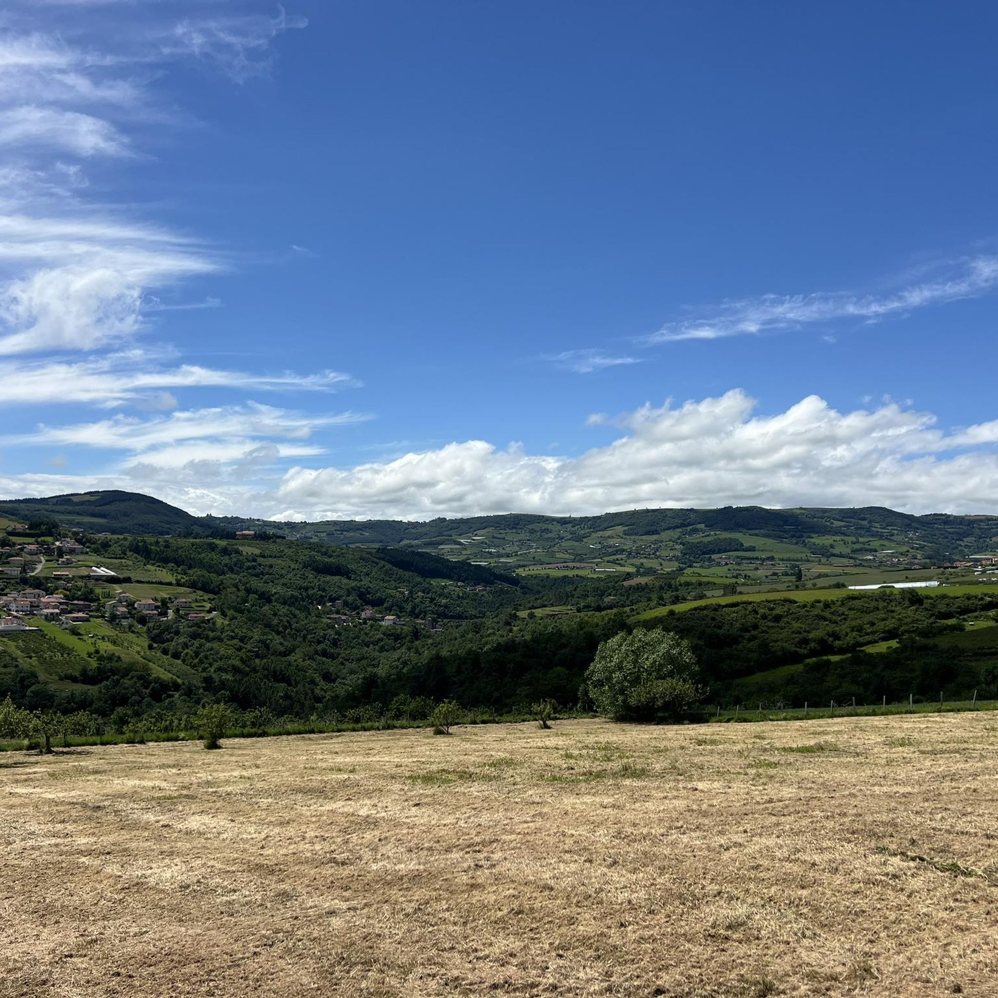
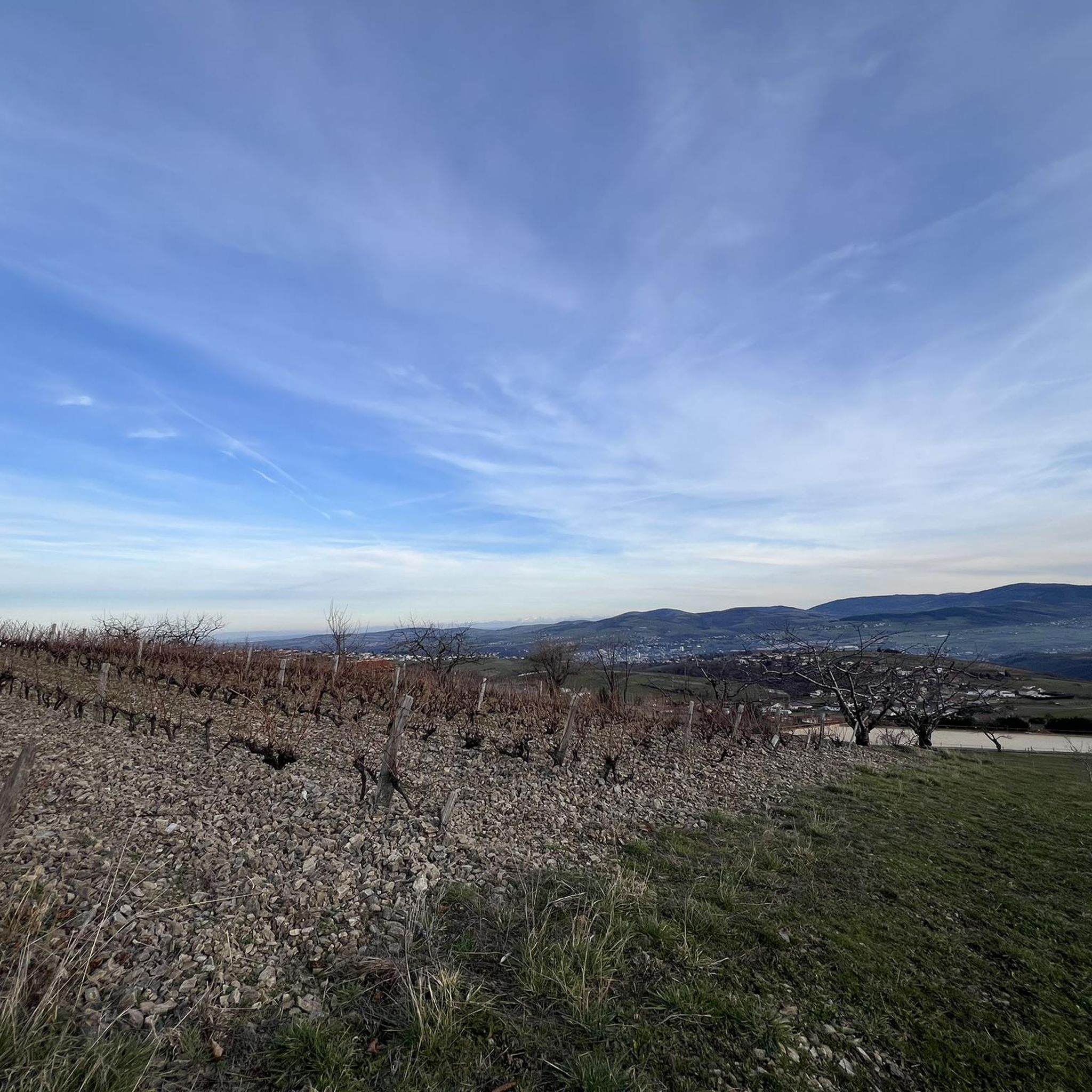
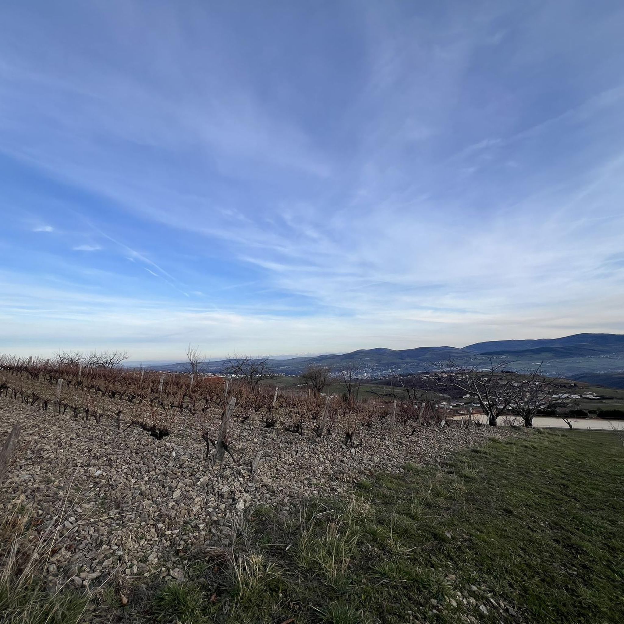
magnificent view of the valley and its orchards
0
0

Pilat and Alps viewpoint
0
0

Small square in front of the church offering a bar and public toilets.
0
0

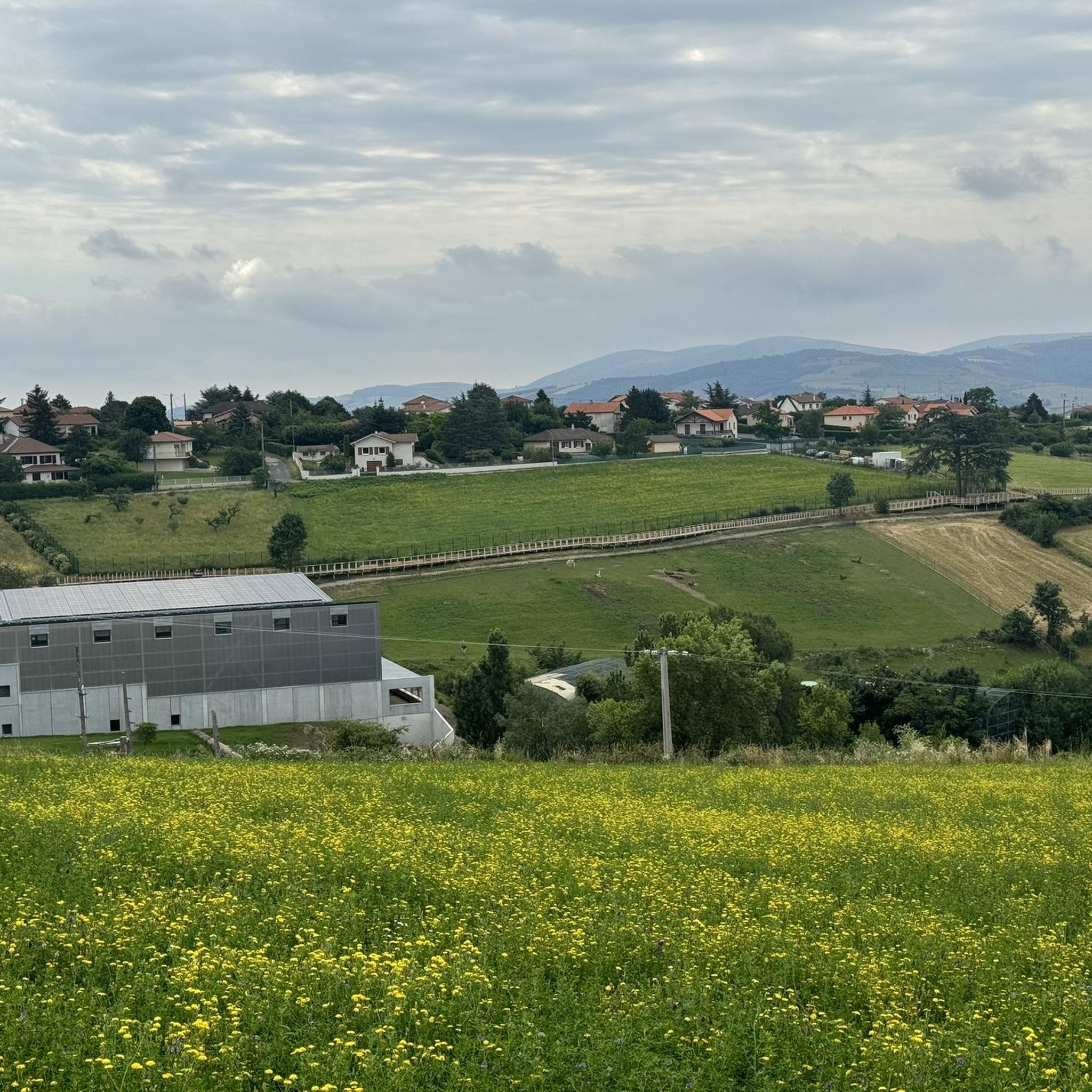
As you pass near the zoo, you will be able to hear and even see certain animals
0
0

The Col de la Gachet from Lorette is 11.04 km long with a total drop of 463 m. The average gradient is 4.19% with maximum gradients of 7.6%.
1
0

Climbing up is a bit of a hassle!!🥵
0
1

Very nice view from the walkway of the medieval village of Riverie. On a clear day, you can see the Monts du Diois, the Pilat massif and the Rhône Valley.
1
0
Frequently Asked Questions
How many touring cycling routes are available around Genilac?
There are over 200 touring cycling routes around Genilac. The majority of these, about 165, are classified as difficult, with 52 moderate and a few easier options.
What is the typical terrain like for touring cycling in Genilac?
The terrain around Genilac is varied and characterized by significant elevation changes, making it quite hilly. Routes often follow rural roads, connecting small towns and offering a mix of natural landscapes and semi-urban scenery.
Are there touring cycling routes suitable for beginners in Genilac?
The Genilac area is primarily suited for experienced cyclists due to its challenging ascents and significant elevation gains. While most routes are difficult, there are a few easier options available for those looking for a less strenuous ride.
What natural features or viewpoints can I expect to see on touring cycling routes near Genilac?
Cycling routes in the region offer access to several natural highlights and viewpoints. You might encounter Le Signal de Saint André, the unique rock formations of Les Roches de Marlin, or the panoramic views from Crêt Malherbe – Highest point of the Monts du Lyonnais.
Are there any historical sites or interesting places to explore along the cycling routes?
Yes, several routes pass by notable historical sites and settlements. You could cycle through the charming village of Sainte-Croix-en-Jarez, visit the Gold Mine of Saint-Joseph, or see the impressive Couzon Dam. The Châtelus Castle and Virgin's Fountain are also points of interest in the area.
Are there circular touring cycling routes available around Genilac?
Yes, many of the touring cycling routes around Genilac are designed as loops, allowing you to start and finish in the same location. An example is the challenging Faucharat Viewpoint – View from Col du Gratteau loop from Rive-de-Gier, which offers panoramic views.
What do other touring cyclists enjoy the most about cycling in Genilac?
The touring cycling routes in Genilac are highly rated by the komoot community, with an average score of 4.2 stars from over 260 reviews. Cyclists often praise the challenging ascents, varied landscapes, and the sense of accomplishment from tackling the significant elevation changes.
Is it possible to find routes that connect different local communities?
Yes, the network of routes around Genilac often connects local communities and villages. For instance, the Sainte-Croix-en-Jarez – Sainte-Croix-en-Jarez loop from Rive-de-Gier explores the local area, passing through varied landscapes and settlements.
Are there any routes that feature a significant descent?
Yes, some routes are known for their descents after challenging climbs. The Saint Didier – Rocky descent loop from Chagnon is an example of a route that includes a notable descent through hilly terrain.
Can I find routes that pass by dams or other man-made structures?
Certainly. The Couzon Dam – Couzon Dam loop from Rive-de-Gier is a route that specifically features the Couzon Dam, offering views of this man-made monument amidst the natural landscape.
Are there routes with specific viewpoints or passes?
Yes, the region offers routes that lead to distinct viewpoints and passes. For example, the White cross – Col de la Gachet loop from Rive-de-Gier includes the Col de la Gachet, providing scenic vistas during your ride.
Most popular attractions around Genilac

Get inspired with the komoot mobile app


Explore more
Browse the best Cycling routes in other regions.
