The best walks and hikes around Tours-En-Savoie
4.5
(885)
11,954
hikers
282
hikes
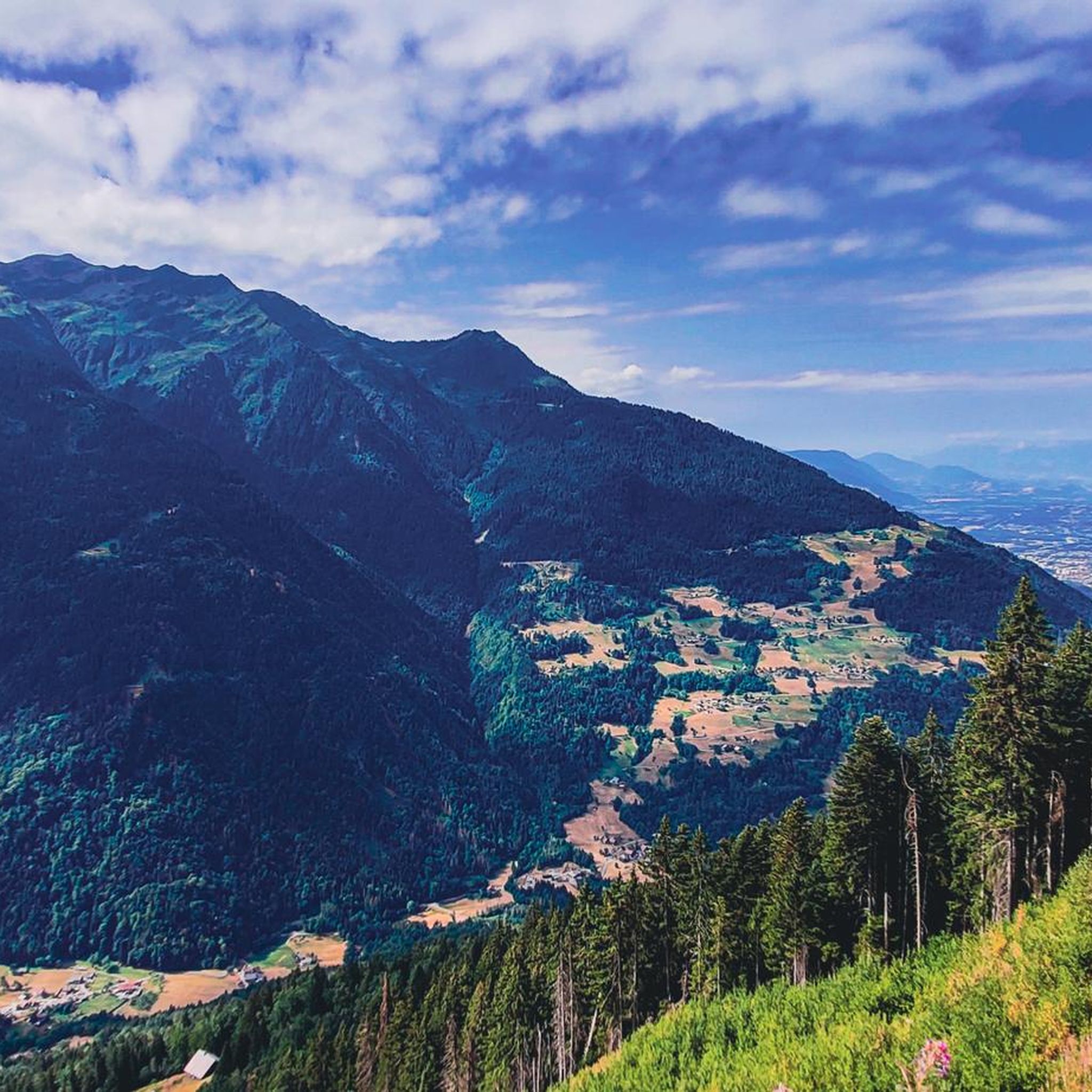
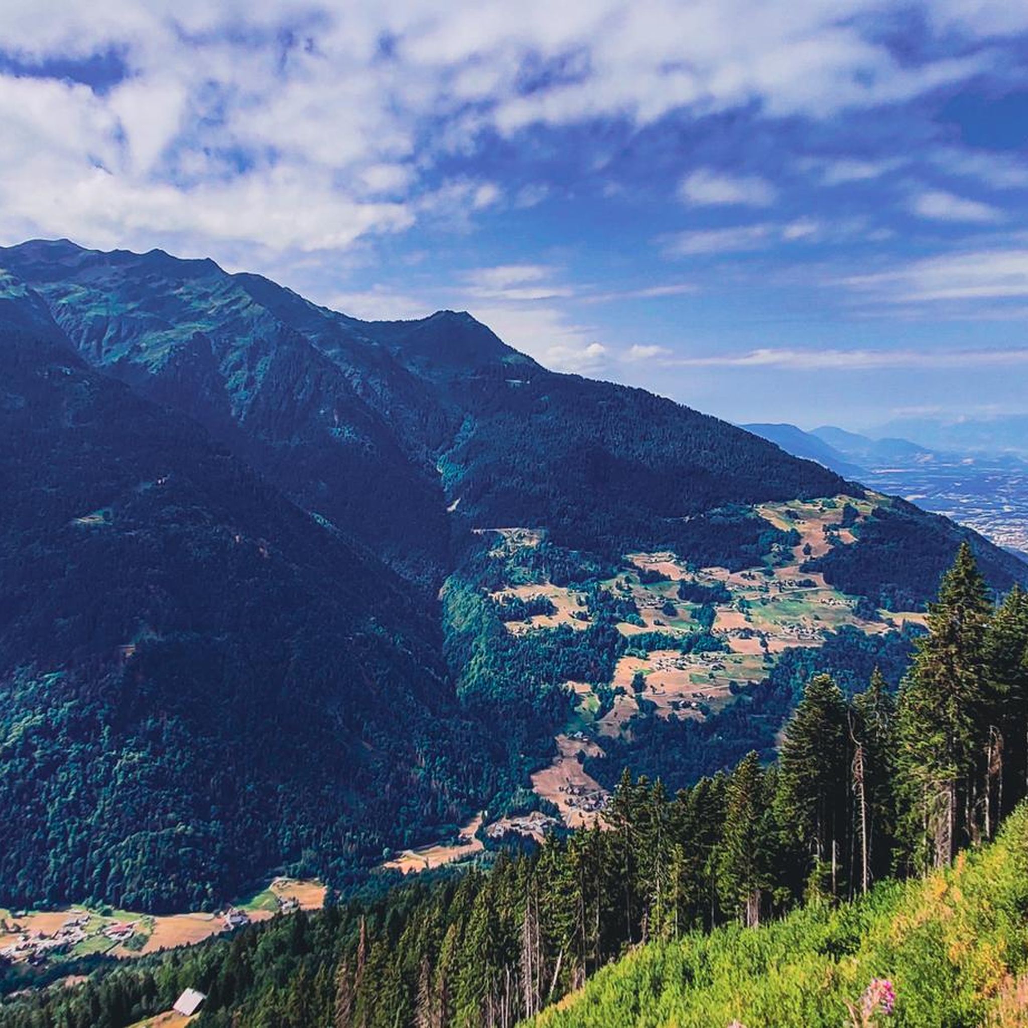
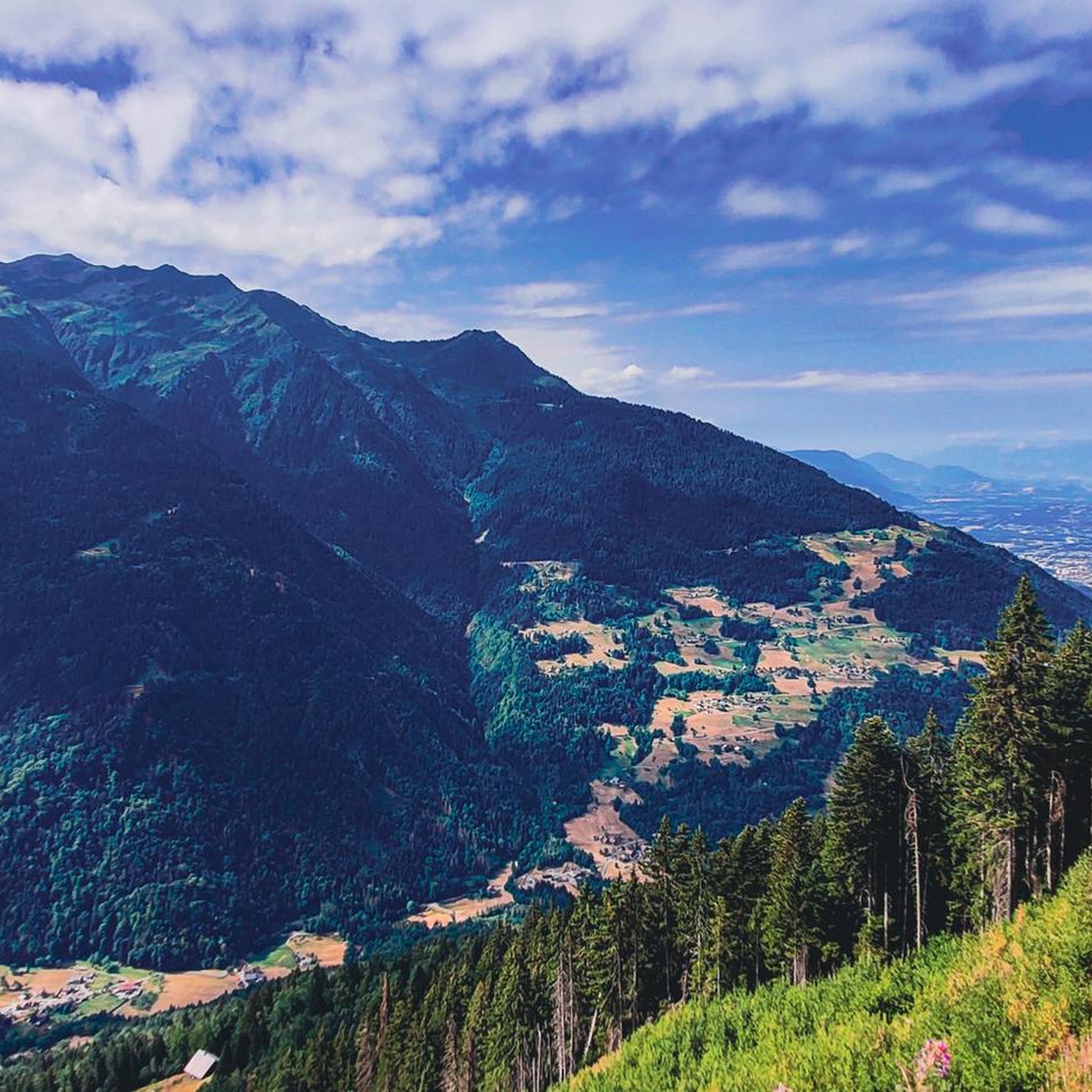
Hiking around Tours-En-Savoie offers access to diverse landscapes within the Savoie department of the Auvergne-Rhône-Alpes region. The area is characterized by mountainous terrain, pristine lakes, and extensive natural parks, situated amidst the foothills of the Bauges, Chartreuse, and Belledonne massifs. Hikers can explore environments ranging from alpine meadows to deep-blue lakes and forests, with elevations varying from gentle ascents to significant climbs. This region provides a network of trails suitable for various fitness levels.
Best hiking trails around Tours-En-Savoie
- The…
Last updated: October 14, 2026
4.8
(17)
149
hikers
5.69km
01:55
280m
290m
Easy hike. Great for any fitness level. Easily-accessible paths. Suitable for all skill levels.
4.8
(17)
142
hikers
5.29km
01:49
270m
280m
Easy hike. Great for any fitness level. Easily-accessible paths. Suitable for all skill levels.

4.8
(9)
65
hikers
3.94km
01:46
290m
290m
Moderate hike. Great for any fitness level. Mostly accessible paths. Sure-footedness required.
3.0
(1)
10
hikers
7.36km
02:46
450m
450m
Moderate hike. Good fitness required. Mostly accessible paths. Sure-footedness required.
27
hikers
13.9km
06:55
1,110m
1,110m
Hard hike. Very good fitness required. Sure-footedness, sturdy shoes and alpine experience required.
Get access to more routes and recommendations from other explorers.
Already have an account?
Our route recommendations are based on thousands of hikes, rides, and runs completed by other people on komoot.
Start today with a free account
Your next adventure awaits.

Tips from the Community

Path offering a beautiful view of the ridge, to be preferred to the stony passable path.
0
0
Splendid view, on an easy route, especially if you go up by the Piapolay chairlift.
0
0

As its name suggests, the Col des Lacs is surrounded by delightful small bodies of water, at an altitude of 2,234 meters. It is located at the foot of the Pointe de la Grande Journe.
0
0
Between Roche Pourrie and Pointe Saint-Jean, this single track announces the arrival on the heights of Beaufortain, with its typically mountain landscapes.
0
0

The Pas de l’Ane is the col between La Pointe de la Grande Journée and Mount Mirantin. It's a rocky saddle at an altitude of 2,352 metres (7,717 ft) offering grand views out across the Beaufortain, to Albertville and the Massif des Bauges beyond. One of the Tour du Beaufortain variations crosses here.
1
0
Refuge les Arolles stands in an elevated position with views down into the valley and up towards La Légette du Grand Mont. Open in July and August serving drinks, snacks and meals, you can also stay here if you book in advance. The Piapolay chairlift links the village of Le Planay to a platform just below the refuge. If you take this rather than running, you'll save 1.8 kilometres (1.1 mi) of distance and 675 metres (2,215 ft) of ascent.
0
0

It is a tricky short walk that takes longer than stated. We needed to scramble on parts of the ascent along a mountain ridge on the very thin trail, and the path was not always obvious on some of the ridge sections. The descent is also very steep towards the end, though thankfully this very steep section is fairly short. The lake was more of a quagmire when we walked it in early September. Not your usual crystal clear mountain lake and not particularly photogenic! Enjoyable, but for the length of the walk I would say it’s a harder intermediate.
0
0
View from the climb to the Grande Combe.
0
0
Frequently Asked Questions
How many hiking trails are available around Tours-en-Savoie?
There are over 280 hiking routes around Tours-en-Savoie, catering to various fitness levels. These include easy paths, moderate trails, and challenging treks through the mountainous terrain of the Savoie department.
Are there easy hiking trails suitable for families in Tours-en-Savoie?
Yes, Tours-en-Savoie offers several easy hiking trails perfect for families. For instance, the Too good – Didactic Trail loop from Césarches is an easy 3.5 miles (5.6 km) path that takes about 1 hour 55 minutes, leading through varied terrain including forested sections. The wider Bornes Massif is also known for its family-friendly hikes.
Can I find circular hiking routes with scenic views near Tours-en-Savoie?
Absolutely. Many routes in the region are circular and offer stunning views of the Alpine ranges and pristine lakes. A popular option is the Lakes Pass – Lac de Lavouet loop from Challets de Bellachat, a moderate 4.6 miles (7.4 km) trail that provides beautiful vistas of the local lake and surrounding natural features.
What kind of wildlife can I expect to see while hiking in the Savoie region?
The protected natural areas of Savoie, including the Vanoise National Park and the Massif des Bauges and Chartreuse regional nature parks, are rich in biodiversity. Hikers often spot wildlife such as ibex, chamois, marmots, and various bird species like bearded vultures.
Are there any notable natural attractions or landmarks to explore on hikes?
Yes, the region is dotted with impressive natural attractions. You can hike to the Roselend Dam in the Beaufortain massif, or explore beautiful lakes like Fairy Lake and Lac de Saint-Guérin. The area also features the majestic Lac du Bourget, France's largest natural lake, offering scenic walks along its shores.
What is the best time of year to go hiking around Tours-en-Savoie?
The best time for hiking around Tours-en-Savoie is generally from late spring to early autumn (May to October), when the weather is mild, and the alpine meadows are in full bloom. Summer offers the warmest temperatures, while spring and autumn provide vibrant colors and fewer crowds. Some higher altitude trails may still have snow early in the season.
Are there dog-friendly hiking trails in Tours-en-Savoie?
Many trails in the Savoie region are dog-friendly, especially those outside of strict national park regulations where dogs may need to be on a leash. It's always recommended to check specific trail rules and local signage, and ensure your dog is well-behaved and under control to protect local wildlife.
How can I access hiking trails around Tours-en-Savoie using public transport?
While some trailheads might be accessible by local bus services, public transport options can be limited for reaching all hiking starting points in the more remote mountainous areas. It's advisable to check local bus schedules in advance or consider carpooling or taxis for greater flexibility to access specific trailheads.
Are there options for more challenging, multi-day hikes in the wider Savoie area?
Yes, the broader Savoie department is a hiker's paradise with options for multi-day excursions. Iconic routes like the Tour des Glaciers de la Vanoise in the Vanoise National Park offer challenging treks with significant elevation gains, often involving stays in mountain refuges. The Donkey Pass – Mount Mirantin loop from Lac des Chappes is a difficult 8.2 miles (13.2 km) trail that takes about 6 hours 40 minutes, providing a taste of the more strenuous routes.
What do other hikers say about the trails in Tours-en-Savoie?
The hiking trails around Tours-en-Savoie are highly rated by the komoot community, with an average score of 4.6 stars from over 750 reviews. Hikers often praise the diverse landscapes, from alpine meadows to deep-blue lakes, and the well-maintained network of paths suitable for various abilities.
Are there any huts or refuges along the hiking routes for overnight stays?
Yes, especially on longer or multi-day treks in the wider Savoie region, you will find mountain refuges. Near Tours-en-Savoie, you can find places like Refuge Les Arolles or Varzeron Refuge, which provide shelter and sometimes food for hikers. It's always recommended to book in advance, especially during peak season.
Are there any hiking routes suitable for winter in Tours-en-Savoie?
While many high-altitude trails become challenging or inaccessible due to snow in winter, the region transforms into a destination for snowshoeing and winter hiking. Lower elevation paths might still be accessible, but proper winter gear, including snowshoes and appropriate clothing, is essential. Always check local conditions and avalanche warnings before heading out.
Are there any less-known or 'hidden gem' trails worth exploring?
Beyond the most popular routes, the extensive network of trails in the Massif des Bauges and Chartreuse regional nature parks offers many quieter paths. Exploring the smaller villages and their surrounding forests can often lead to serene and less-trafficked routes, providing a more intimate experience of the Savoie landscape.
Most popular routes around Tours-En-Savoie
Most popular attractions around Tours-En-Savoie

Get inspired with the komoot mobile app


Explore more
Browse the best Hikes in other regions.
