The best road cycling routes around Hautecour
4.4
(313)
18,587
riders
94
rides
Road cycling routes around Hautecour are situated in the Savoie department of France's Auvergne-Rhône-Alpes region, characterized by challenging mountainous terrain. The area features numerous ascents, including the Côte de Montgirod-Hautecour, with quiet, winding roads passing through villages and forests. This Alpine setting offers varied gradients and elevation gains, providing a demanding environment for road cyclists.
Best road cycling routes around Hautecour
- The most popular road cycling route is From Moûtiers to the Col de la Loze (Courchevel), a difficult…
Last updated: July 1, 2026
4.3
(6)
414
riders
32.9km
03:19
1,870m
50m
Hard road ride. Very good fitness required. Mostly well-paved surfaces and easy to ride.
4.1
(7)
316
riders
52.8km
03:35
1,740m
1,740m
Hard road ride. Very good fitness required. Mostly well-paved surfaces and easy to ride.

Sign up for free
4.8
(19)
1,230
riders
79.2km
05:01
2,250m
2,250m
Hard road ride. Very good fitness required. Mostly well-paved surfaces and easy to ride.
4.1
(8)
357
riders
Hard road ride. Very good fitness required. Mostly well-paved surfaces and easy to ride.
173
riders
77.9km
04:46
2,110m
2,110m
Hard road ride. Very good fitness required. Mostly well-paved surfaces and easy to ride.
Get access to more routes and recommendations from other explorers.
Sign up for free
Already have an account?
Our route recommendations are based on thousands of hikes, rides, and runs completed by other people on komoot.
Start today with a free account
Your next adventure awaits.
Login or Signup


Tips from the Community

Part of the cycle path with uneven climbs, beautiful views.
2
0
Place on the D915, already suffering from through traffic. Some nice corners and a water source at the town hall.
2
0
Path with cycle path and great views. Ascent partly uneven. More info: https://de.wikipedia.org/wiki/Col_de_la_Loze?wprov=sfla1
2
0
Great views and great cycle path. More info: https://de.wikipedia.org/wiki/Col_de_la_Loze?wprov=sfla1
2
0
Sometimes a cycle path, sometimes a small road, wonderfully laid out, beautiful views.
2
0
Nice little resort town, many possibilities.
3
0

One of the most mythical Tour de France climbs.
0
0
The ascent from Notre Dame du Pre has hardly any traffic and features a few hairpin bends that allow you to enjoy the surroundings and the views.
0
0
Frequently Asked Questions
How many road cycling routes are available in Hautecour?
There are over 80 road cycling routes around Hautecour, offering a wide range of options for different skill levels. The komoot community has explored more than 88 routes in the area.
What are the difficulty levels of road cycling routes in Hautecour?
Hautecour's terrain is predominantly mountainous and challenging. You'll find 6 easy routes, 44 moderate routes, and 38 difficult routes, ensuring options for various experience levels, though the region is known for its demanding climbs.
What is the best time of year for road cycling in Hautecour?
The region is best enjoyed for road cycling during the warmer months, typically from spring through autumn. The mountainous terrain means that winter conditions can be challenging, with snow and ice affecting higher altitude routes. Always check local weather and road conditions before heading out.
Are there any circular road cycling routes around Hautecour?
Yes, many routes in Hautecour are designed as loops, allowing you to start and finish in the same location. For example, the Col du Tra — loop from Moûtiers offers a challenging circular ride through mountainous landscapes.
What scenic viewpoints can I find along road cycling routes in Hautecour?
The region offers numerous breathtaking viewpoints. You can find stunning vistas such as the Croix de Feissons Viewpoint, which provides expansive views of the Tarentaise valley. Other natural highlights include the View of the Cascade du Morel and various high-altitude summits like Longecha Summit.
Are there any unique cultural or natural attractions to explore near the cycling routes?
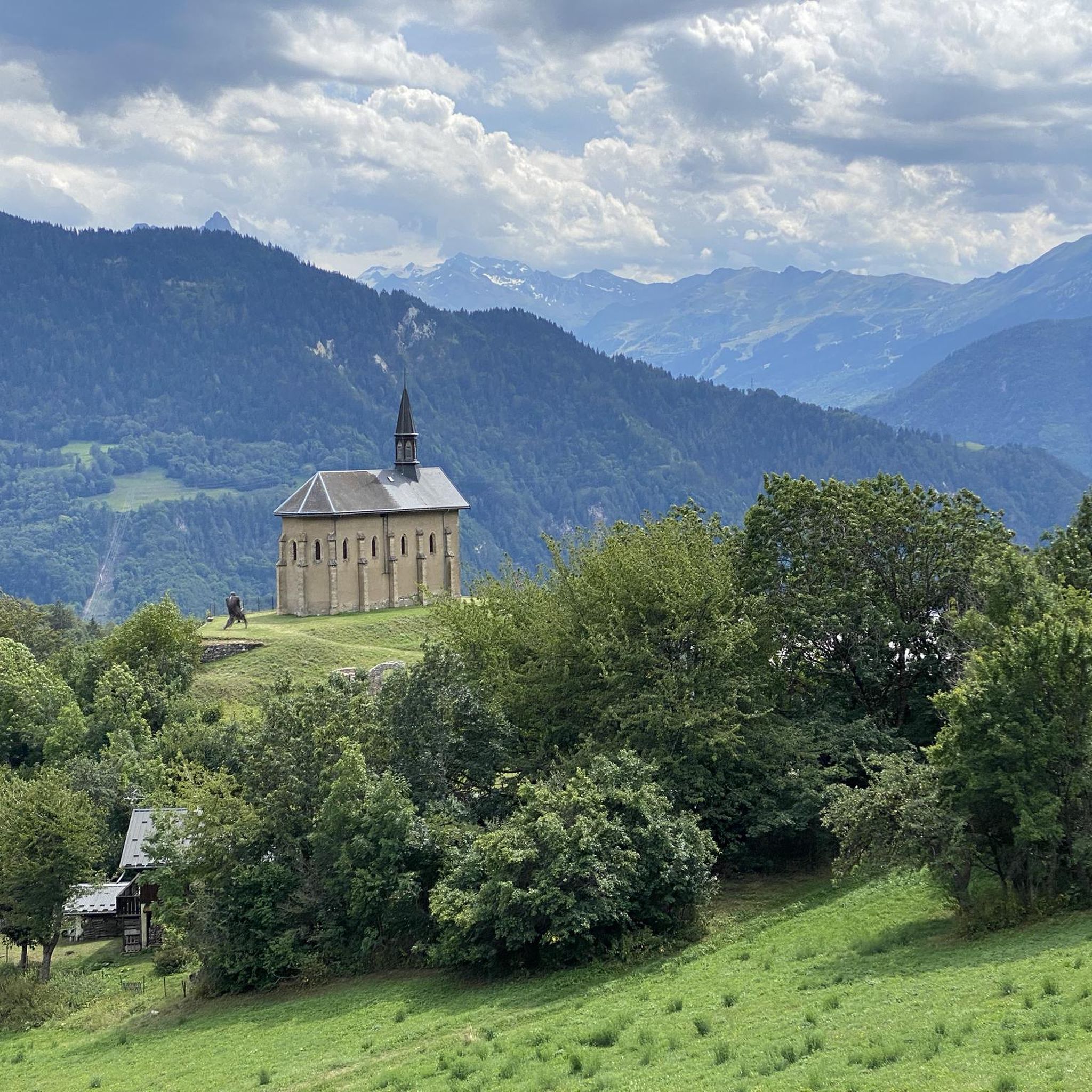
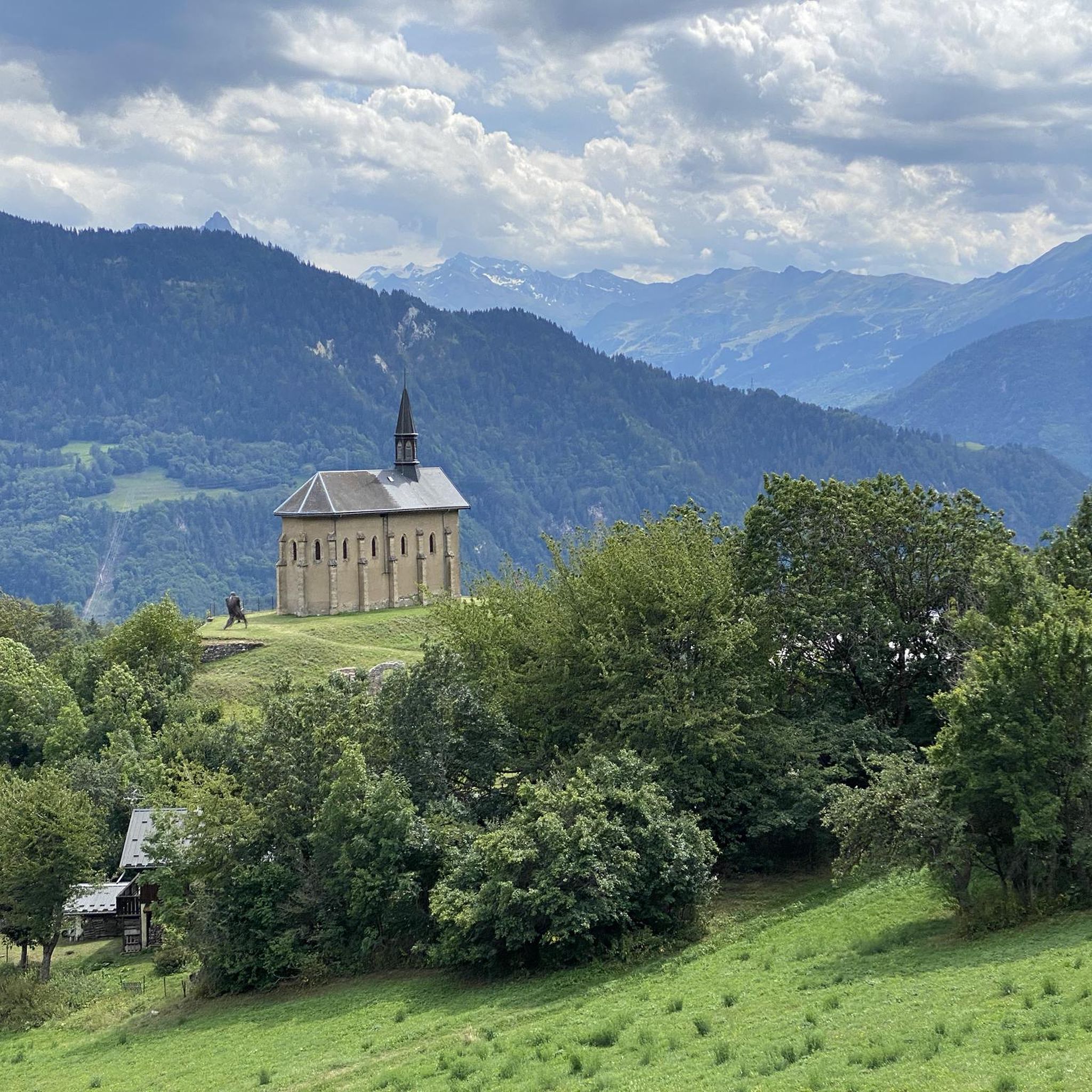
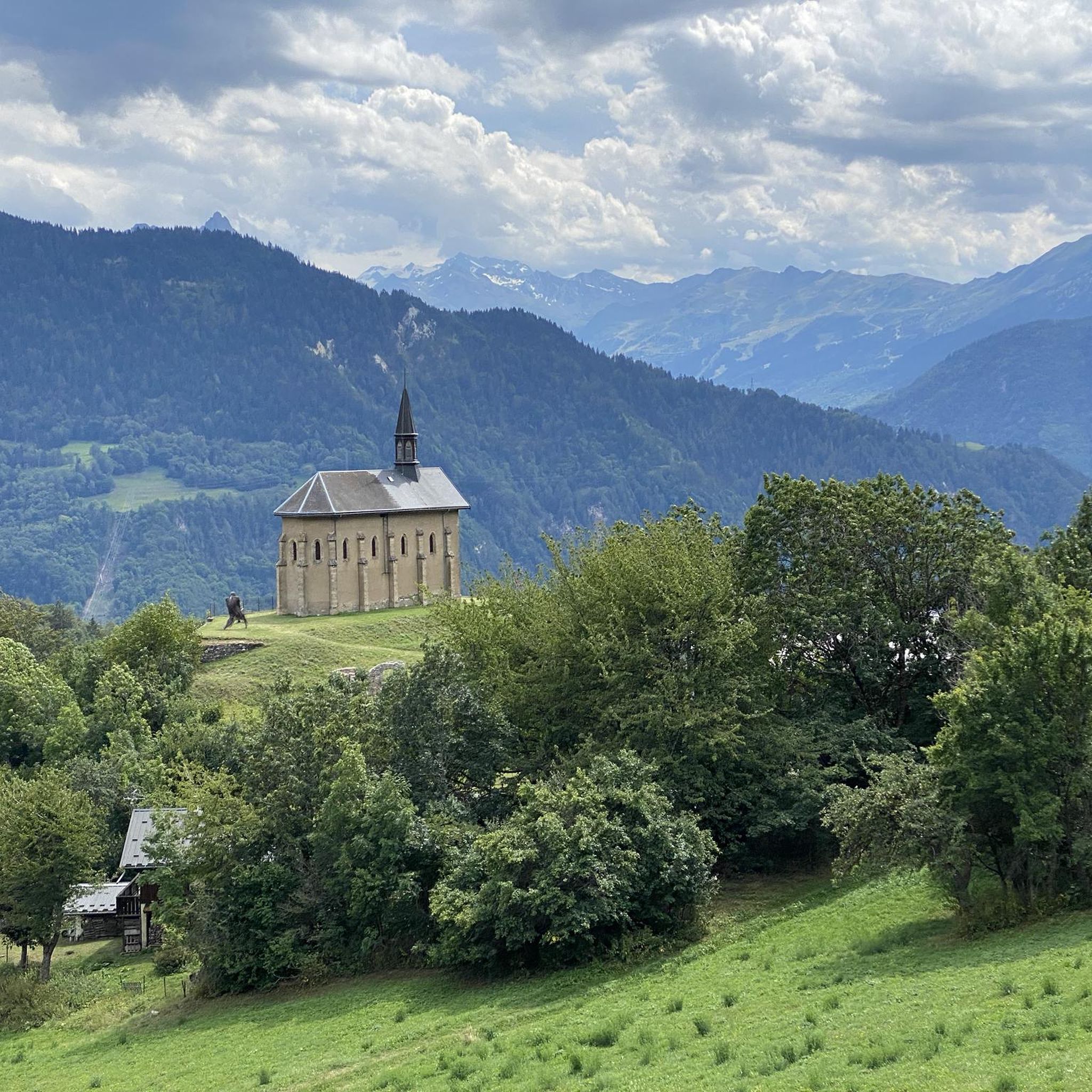
Absolutely. Hautecour is home to the unique Lez'arts open-air art trail, featuring over 70 works integrated into the natural landscape. You can also visit the peaceful Fairy Lake or the artificial lake at La Trappe, which offers a relaxing setting. The area is also close to the Vanoise National Park, known for its stunning mountain scenery.
Can I find routes that pass by lakes or natural monuments?
Yes, several routes will take you near beautiful natural features. You can find routes that offer views of lakes such as Lac de Saint-Guérin or Lac Brassa. The region also features natural monuments like the Mont Bellacha.
What are the most challenging climbs for experienced road cyclists in Hautecour?
Hautecour is renowned for its demanding ascents. The Côte de Montgirod-Hautecour is a significant challenge, climbing 773 meters over 11.2 km with an average slope of 6.9%. Another rigorous climb is the Montée d'Hautecour, which gains 2,500 feet over 6.9 miles, culminating at 4,135 feet. These climbs feature quiet, winding roads and consistent steep gradients.
Are there family-friendly road cycling options in Hautecour?
While many routes in Hautecour are challenging, there are a few easier options available. With 6 easy routes, families might find suitable paths, especially those with less elevation gain or on quieter roads. It's advisable to check the route details for specific difficulty and terrain before planning a family ride.
What kind of facilities are available for cyclists in Hautecour, such as cafes or accommodation?
Hautecour and its surrounding villages offer various amenities. You'll find local cafes and restaurants, particularly in the hamlets and nearby towns like Moûtiers. The area also provides accommodation options, ranging from guesthouses to hotels, catering to visitors exploring the region's outdoor activities.
Is public transport or parking available near the road cycling routes in Hautecour?
Parking is generally available in the villages and starting points of many routes. For public transport, Moûtiers serves as a key hub with train connections, and local bus services might connect to some areas. It's recommended to check specific transport schedules and parking availability for your chosen starting point.
What do other road cyclists say about the routes in Hautecour?
The road cycling routes around Hautecour are highly rated by the komoot community, with an average score of 4.3 stars from over 290 reviews. Cyclists often praise the challenging mountainous terrain, the quiet winding roads through picturesque villages, and the stunning Alpine scenery that makes every ride a memorable experience.
Are there options for less crowded road cycling routes in Hautecour?
The region is known for offering alternatives to busier roads, with many quiet routes that wind through villages and forests. While popular climbs can attract more cyclists, exploring some of the less-traveled paths or riding during off-peak hours can provide a more serene experience. Routes like the Scenic Cycling Path loop from Moûtiers-Salins-Brides-les-Bains might offer a good balance of scenery and tranquility.
Most popular routes around Hautecour
Most popular attractions around Hautecour

Get inspired with the komoot mobile app


Explore more
Browse the best Road cycling routes in other regions.
