Top 20 Mountain Passes around Albiez-Montrond
Best mountain passes around Albiez-Montrond are found in the Maurienne region of the French Alps. This mountain village provides access to several notable mountain passes. The area is known for its challenging cycling routes, attracting riders. Visitors can experience alpine landscapes and demanding climbs.
Best mountain passes around Albiez-Montrond
- The most popular mountain passes is Col du Galibier, a mountain_pass that reaches an altitude of 2,642 meters. This pass connects Saint-Michel-de-Maurienne to Briançon and has been featured in the…
Last updated: October 13, 2026
Col du Galibier
Highlight • Mountain Pass
Translated by Google •
Tip by

Col du Télégraphe
Highlight • Mountain Pass
Translated by Google •
Tip by
Sign up now to discover places like this
Get recommendations on the best single tracks, peaks, & plenty of other exciting outdoor places.
Ascent to the Col du Télégraphe from Saint-Michel-de-Maurienne
Highlight (Segment) • Climb
Translated by Google •
Tip by

Mollard Pass
Highlight • Mountain Pass
Translated by Google •
Tip by

Col de la Croix de Fer
Highlight • Mountain Pass
Translated by Google •
Tip by

Sign up for free to discover even more mountain passes around Albiez-Montrond.
Already have an account?
Start today with a free account
Your next adventure awaits.
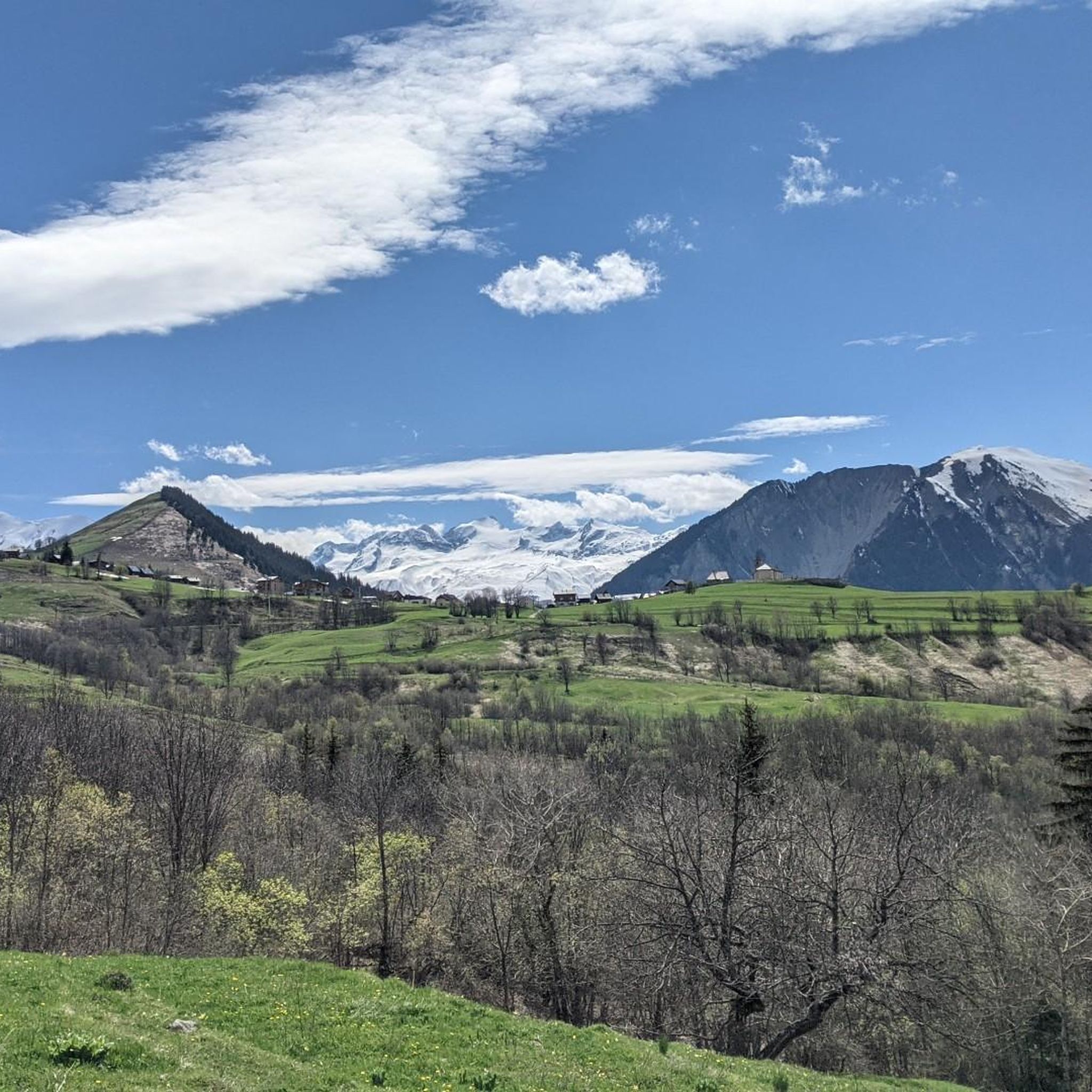
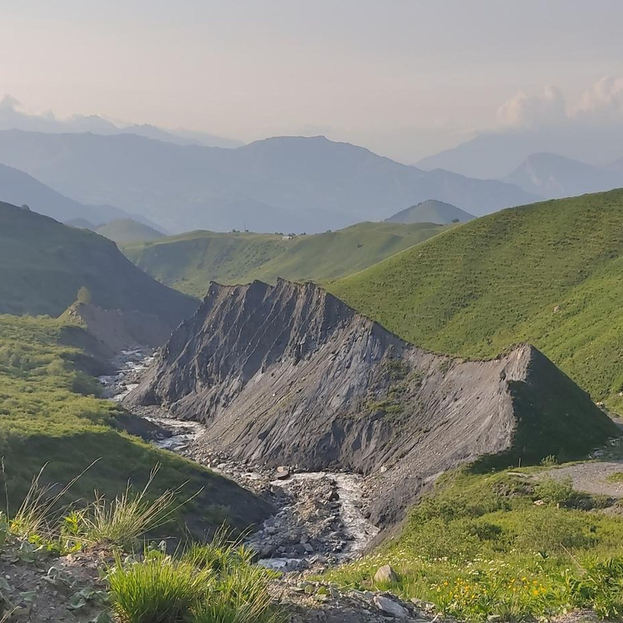
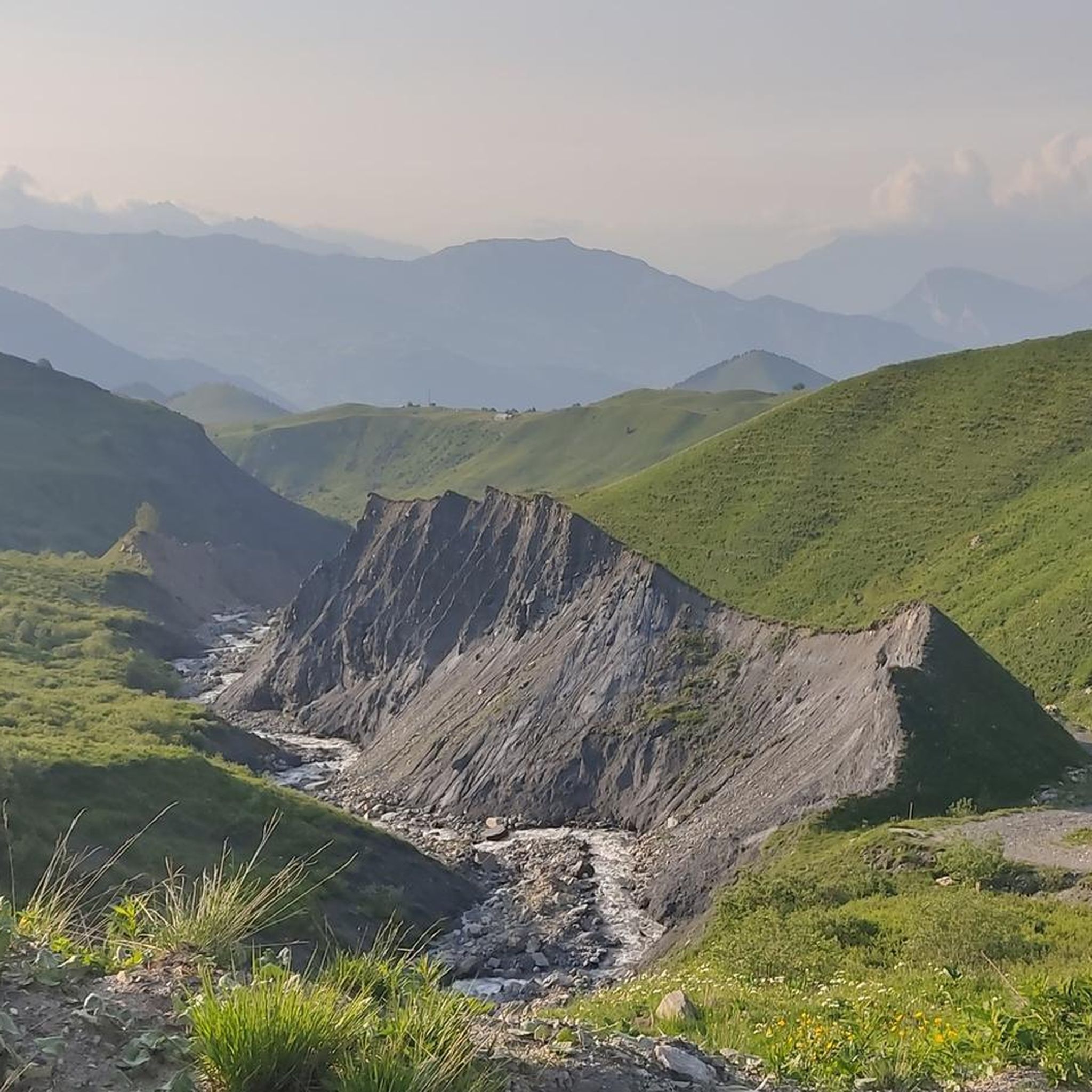
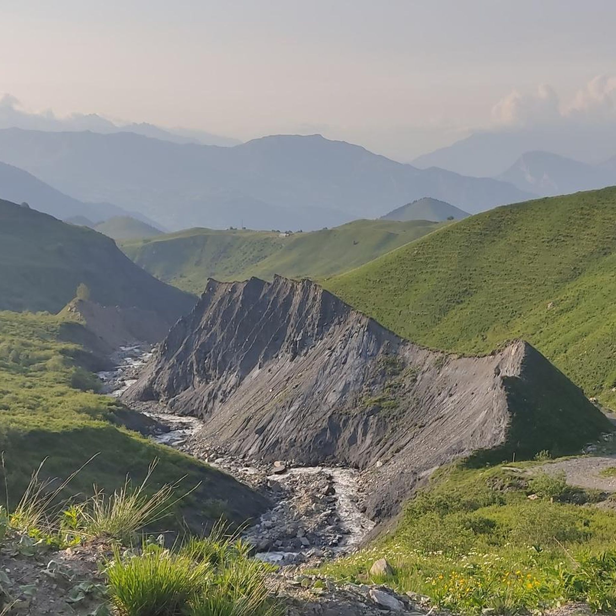
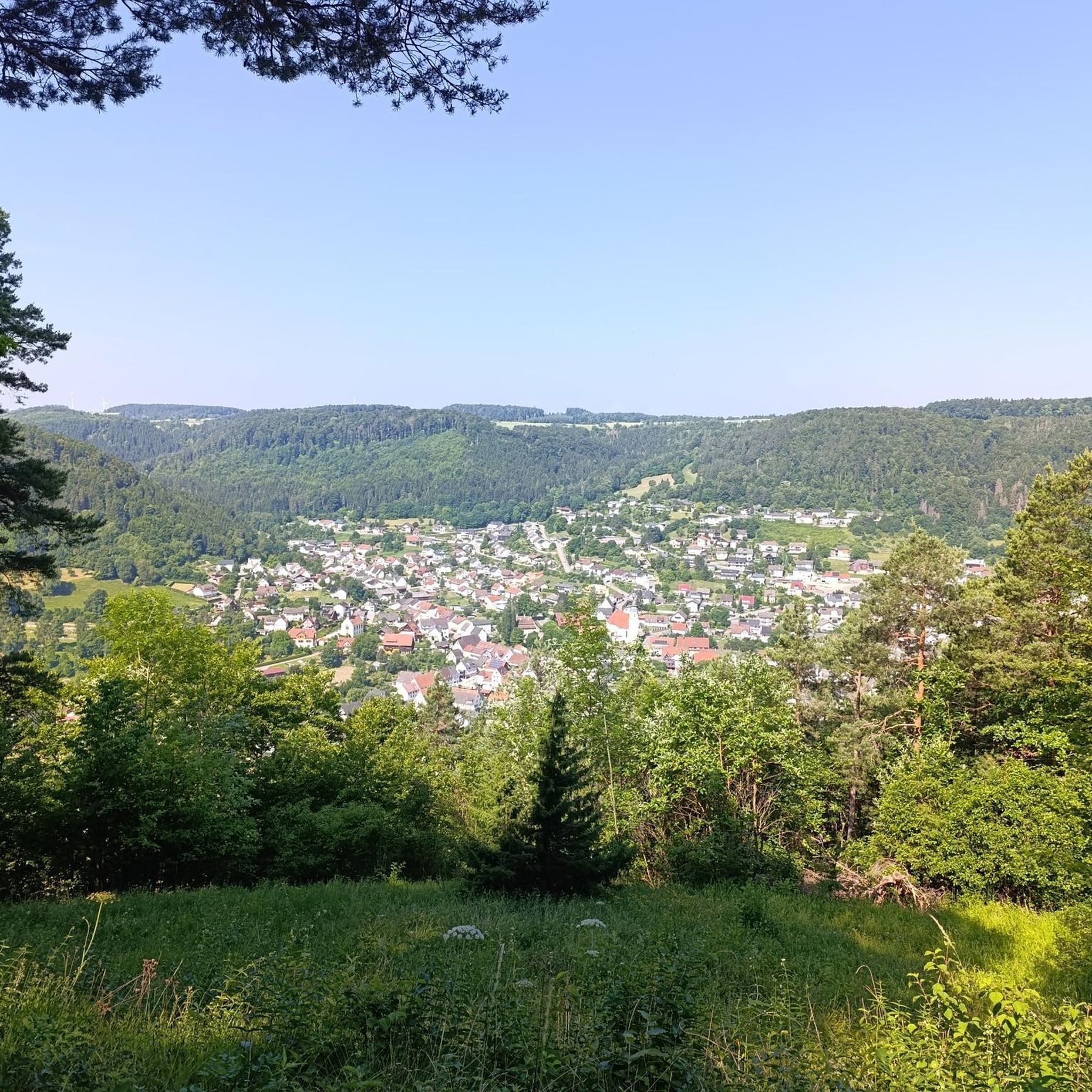
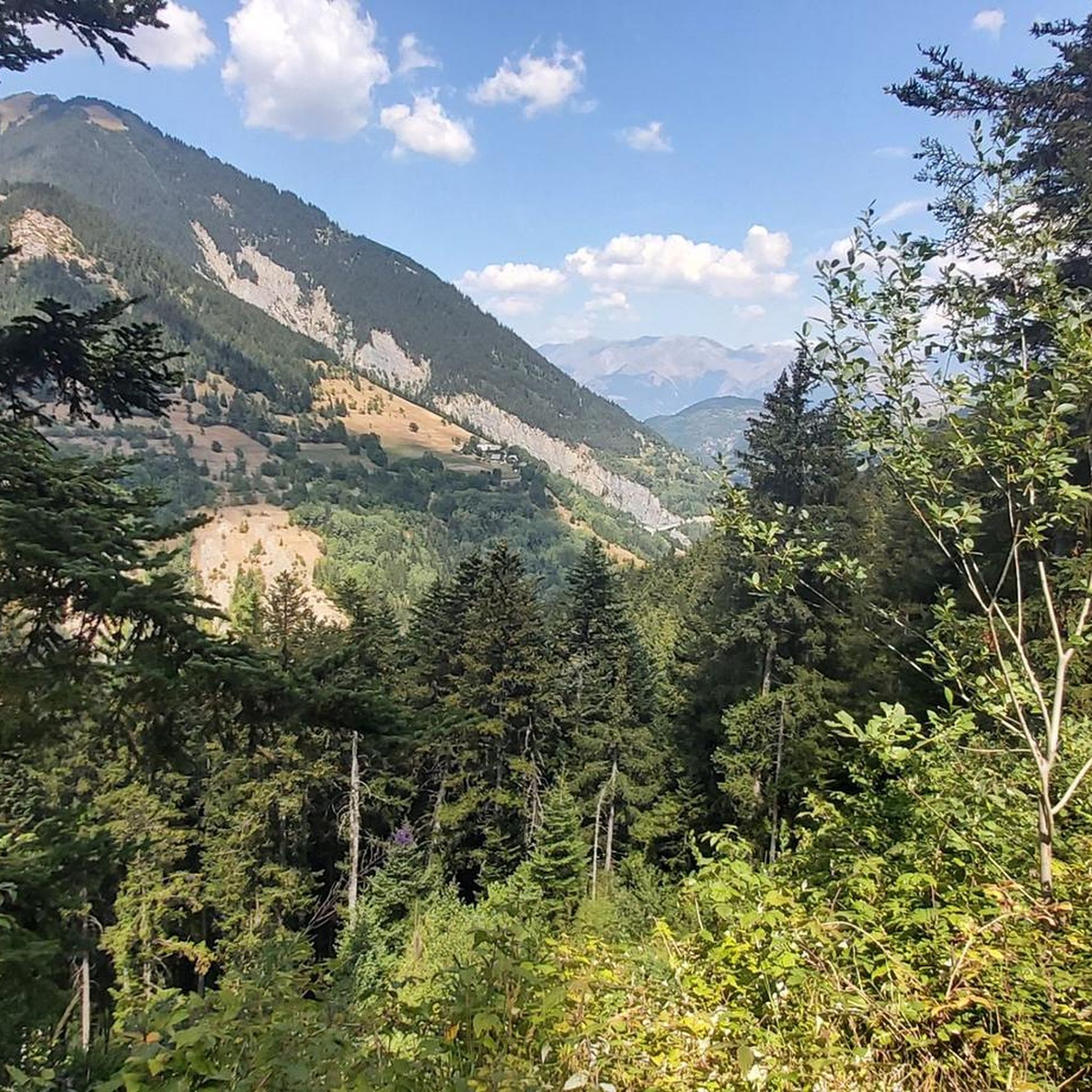
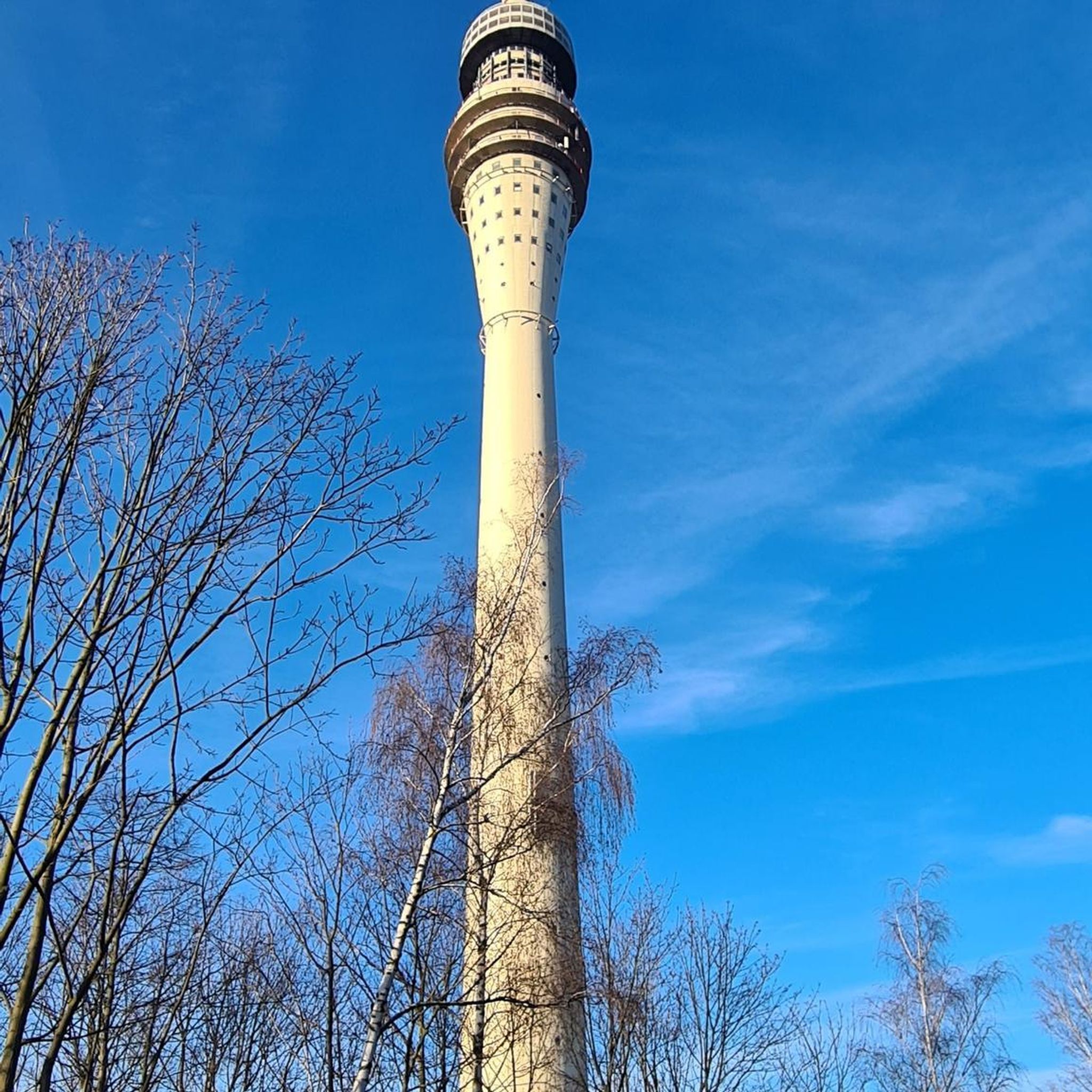
Tips from the Community

Grandiose ascent on the D110, great view at the pass.
2
0

Even more beautiful downhill
3
0


The Galibier offers breathtaking views.
14
1
A fantastic mountain, making this climb was very challenging, the asphalt is in excellent condition and the gradients are regular.
14
0
I must say that this climb is no joke with its gradients, very beautiful.
20
0
After the Galibier, if that's not enough for you, you can also get the Tèlègraphe.
21
1
A majestic mountain that must be approached with respect.
12
0
Frequently Asked Questions
Which mountain passes around Albiez-Montrond are particularly popular for cyclists?
The region around Albiez-Montrond is renowned for its challenging cycling routes. Among the most popular passes for cyclists are the Col du Galibier, a legendary pass frequently featured in the Tour de France, and the Col du Télégraphe, which often serves as an approach to the Galibier. The Mollard Pass is also highly regarded for its quiet roads and captivating scenery.
What are some of the most challenging cycling routes involving mountain passes near Albiez-Montrond?
For a significant challenge, cyclists often link the iconic Col de la Croix de Fer and Col du Glandon. A route including both spans approximately 73 km with a substantial 2120 meters of elevation gain, typically requiring around 5 hours to complete. The ascent to the Col de la Croix de Fer from Saint-Jean-de-Maurienne alone is 28.2 kilometers with 1475 meters of elevation gain.
What kind of views can I expect from the mountain passes in this region?
Visitors to the mountain passes around Albiez-Montrond can expect spectacular panoramic views of the surrounding alpine landscape. From the Mollard Pass, you can see the jagged peaks of the Aiguilles d'Arves. The Col de la Croix de Fer also offers magnificent views, including the Aiguilles d'Arves and the Etendard peak.
Are there any historical landmarks associated with these mountain passes?
Yes, the Col du Télégraphe is named after a fort that was built there between 1885 and 1893, though the fort no longer exists today. The Col du Galibier is legendary in cycling history, first crossed by the Tour de France in 1911.
What outdoor activities can I do near the mountain passes around Albiez-Montrond?
Beyond cycling, the area offers a variety of outdoor activities. You can explore numerous hiking trails, with options ranging from easy to difficult. For more details on routes, check out the Hiking around Albiez-Montrond guide or the Mountain Hikes around Albiez-Montrond guide. Road cycling routes are also abundant; find more information in the Road Cycling Routes around Albiez-Montrond guide.
What is the best time to visit the mountain passes around Albiez-Montrond?
The best time to visit is typically during the warmer months when the passes are clear of snow and open for cycling and hiking. This allows you to fully enjoy the fresh mountain air and stunning natural beauty. Major cycling events often take place in summer, drawing enthusiasts from around the world.
Are there any amenities available at the summits of these passes?
At the top of the Col de la Croix de Fer, there is a welcoming hostel where you can rehydrate and regain strength with regional food. The Relais du Télégraphe near the Col du Télégraphe also offers refreshments, supplies, and meals.
What do visitors appreciate most about the mountain passes near Albiez-Montrond?
Visitors frequently praise the challenging yet rewarding experience of conquering these passes, especially for cyclists. The captivating scenery, quiet roads, and spectacular panoramic views of the French Alps are consistently highlighted. Many also enjoy the sense of accomplishment upon reaching the summits and the immersive experience in the heart of the Alps.
Can I find beginner-friendly hiking routes near the mountain passes?
While many passes are known for challenging climbs, there are easier hiking options in the broader Albiez-Montrond area. For example, the 'Mollard Pass – Arves loop from Albiez-le-Vieux' is an easy 5.6 km hike. You can find more varied hiking routes, including beginner-friendly ones, in the Hiking around Albiez-Montrond guide.
Are there any specific tips for cycling the Col du Galibier?
The Col du Galibier is a formidable challenge, reaching an altitude of 2,642 meters. The road is generally smooth, but the climb is long and demanding. It connects Saint-Michel-de-Maurienne to Briançon via the Télégraphe and Lautaret Passes. Be prepared for a significant elevation gain and ensure your bike is equipped with a good derailleur for the gradients.
What makes the Mollard Pass a unique cycling experience?
The Mollard Pass, at 1,638 meters, is often considered a hidden gem off the main routes. Especially from Villargondran, it offers a particularly beautiful climb with countless hairpin bends winding through the forest. It's known for its very quiet roads, making it a peaceful and enjoyable ride with awesome views of the Aiguilles d'Arves.
Most popular routes around Albiez-Montrond
Most popular attractions around Albiez-Montrond

Get inspired with the komoot mobile app


Explore more
See even more epic mountain passes by checking out these guides around Albiez-Montrond:
