The best walks and hikes around Saint-Avre
4.6
(468)
4,352
hikers
209
hikes
Hiking around Saint-Avre offers diverse landscapes within the Savoie department of the French Alps, with altitudes ranging from 440m to 900m. The region features an alpine environment characterized by local forests of oak, beech, and birch, providing varied terrain for exploration. Hikers can experience panoramic views of surrounding mountains like the Col du Glandon and the Aiguilles d'Arves, and access trails near the Vanoise National Park. The area includes alpine pastures and elevated vantage points offering expansive vistas of peaks…
Last updated: July 1, 2026
5.0
(1)
12
hikers
17.8km
06:42
1,170m
1,170m
Hard hike. Very good fitness required. Mostly accessible paths. Sure-footedness required.
5.0
(1)
8
hikers
17.0km
06:39
1,210m
1,210m
Hard hike. Very good fitness required. Easily-accessible paths. Suitable for all skill levels.

Sign up for free
4.0
(1)
10
hikers
5.57km
01:38
160m
160m
Easy hike. Great for any fitness level. Easily-accessible paths. Suitable for all skill levels.
5
hikers
4.10km
01:12
110m
110m
Easy hike. Great for any fitness level. Easily-accessible paths. Suitable for all skill levels.
8
hikers
6.35km
01:53
190m
190m
Easy hike. Great for any fitness level. Easily-accessible paths. Suitable for all skill levels.
Get access to more routes and recommendations from other explorers.
Sign up for free
Already have an account?
Our route recommendations are based on thousands of hikes, rides, and runs completed by other people on komoot.
Start today with a free account
Your next adventure awaits.
Login or Signup

Other adventures around Saint-Avre

Tips from the Community

Church worth seeing.
2
0

No information...
0
0
I don't know if the route from the bottom is free again but access, by road, is easy.
0
0

Very beautiful chapel with the largest coat of arms in Savoy
0
0
Small pump track good for children
1
0
Frequently Asked Questions
How many hiking trails are available around Saint-Avre?
Saint-Avre offers a wide variety of hiking opportunities, with over 180 trails to explore. These routes cater to all levels, including 57 easy, 79 moderate, and 45 difficult options, ensuring there's a path for every hiker.
What kind of landscapes can I expect to see while hiking near Saint-Avre?
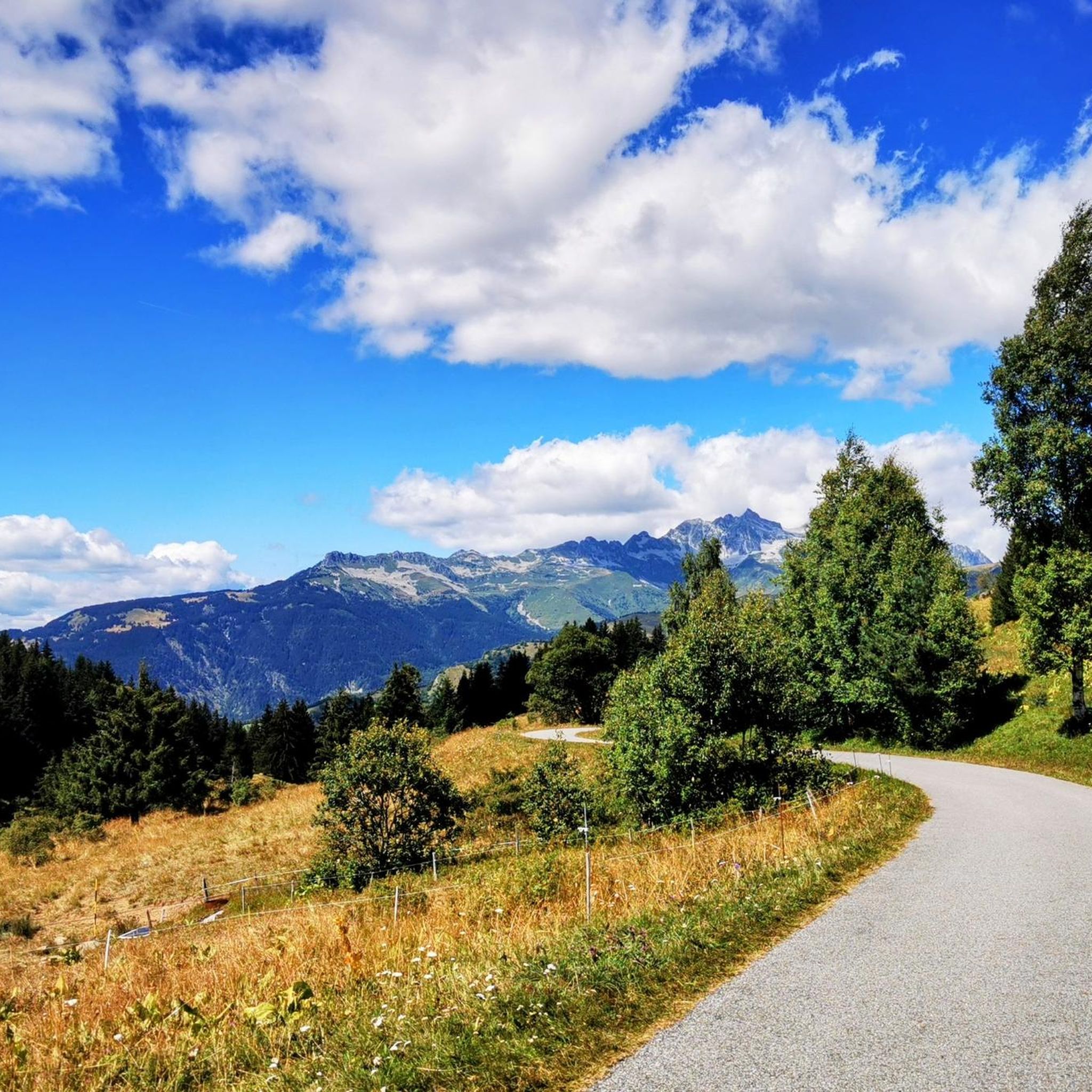
The region around Saint-Avre is characterized by stunning alpine environments. You'll hike through local forests of oak, beech, and birch, and enjoy panoramic views of surrounding mountains like the Col du Glandon and the majestic Aiguilles d'Arves. The area also features alpine pastures and elevated vantage points offering expansive vistas of peaks such as Belledonne and Cheval Noir.
Are there any easy, family-friendly hikes in Saint-Avre?
Yes, Saint-Avre has several easy trails suitable for families. For instance, the Col de Chaussy – L'Armélaz loop from Montpascal is an easy 3.0-mile (4.8 km) path that winds through varied terrain and is suitable for all fitness levels. The municipality has developed various circuits with the National Forestry Office, many of which are ideal for families.
What are some notable natural features or landmarks to look out for on hikes?
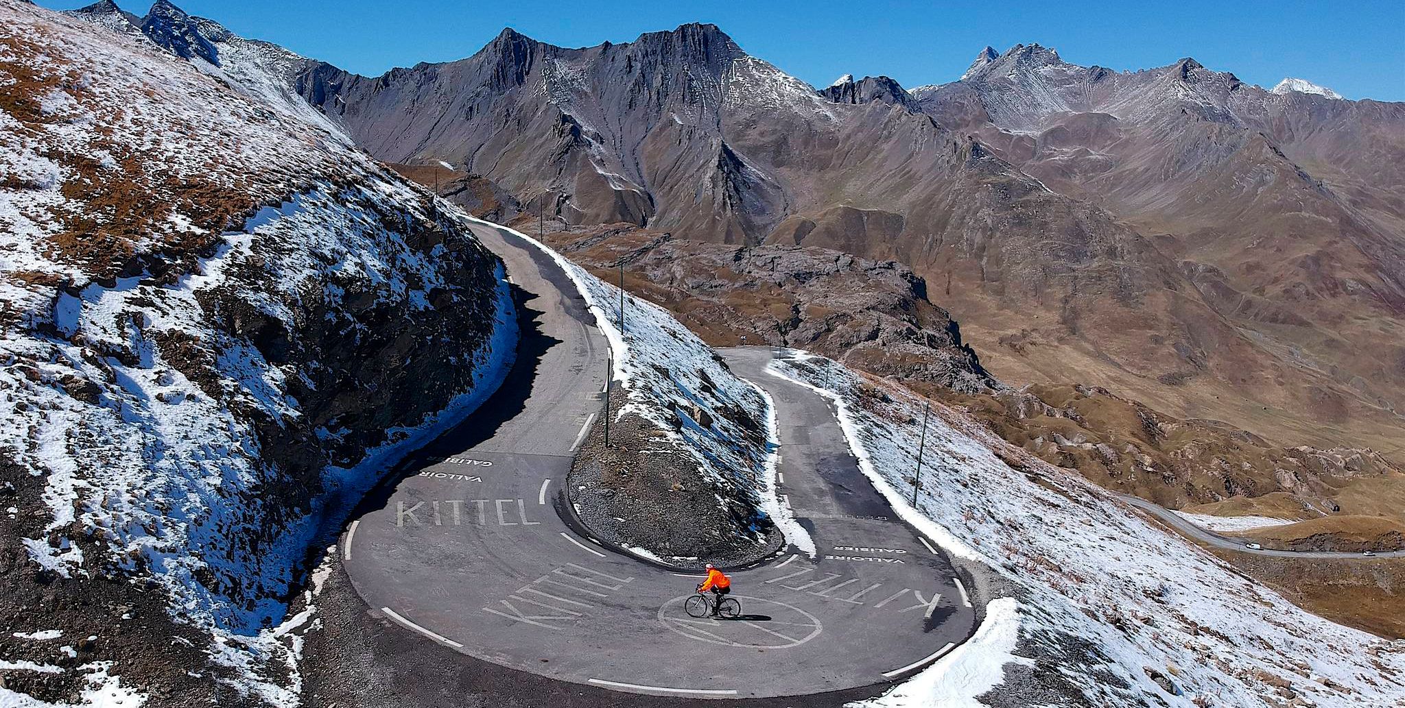
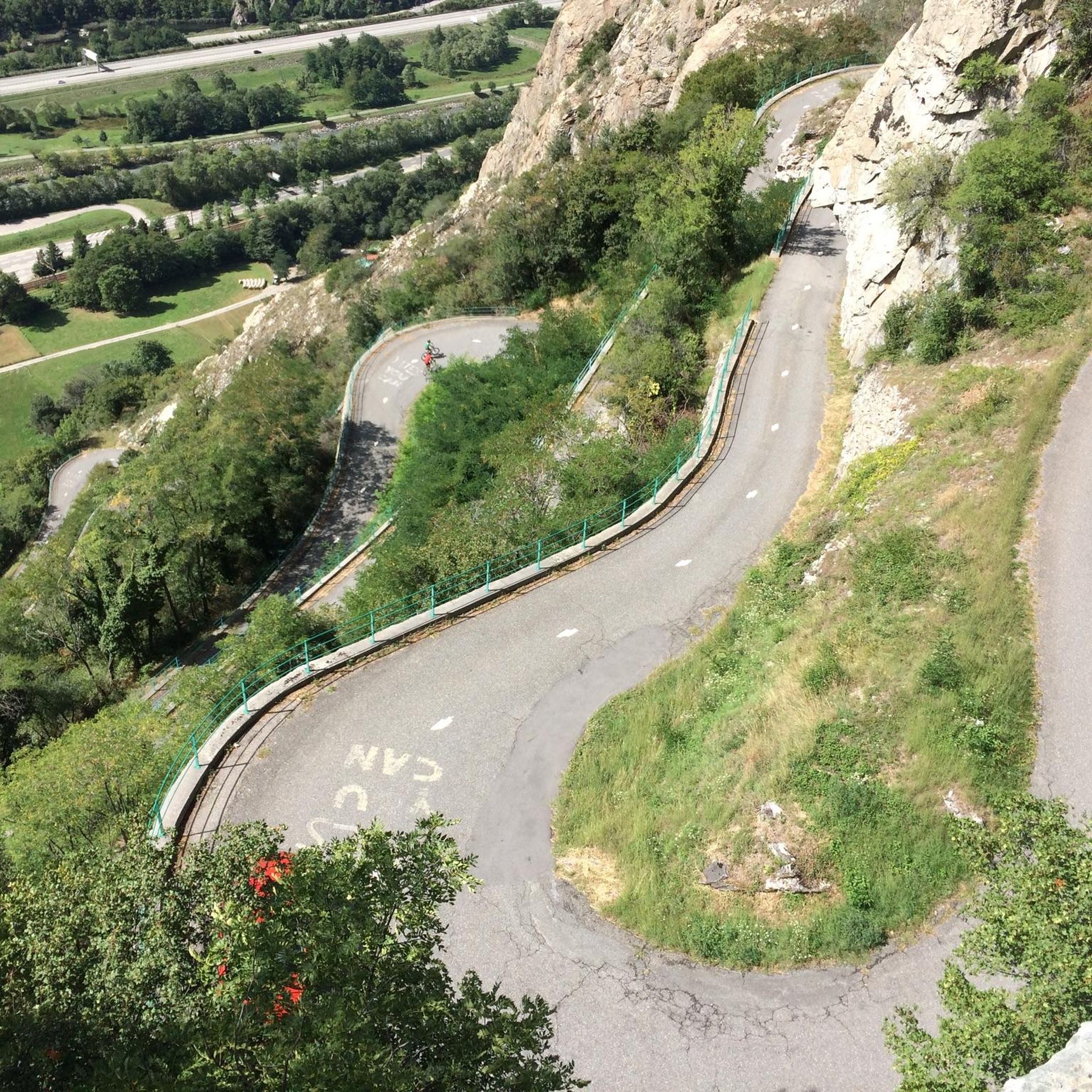
Hikers can discover several interesting natural features and landmarks. The Montvernier Hairpins offer impressive views, and you can also find the Col du Chaussy and Col de la Madeleine. Don't miss the opportunity to experience the Great view over the needles of arves, providing breathtaking vistas of the iconic peaks.
Are there any circular hiking routes available?
Yes, many of the trails around Saint-Avre are circular, offering convenient starting and ending points. A popular moderate option is the Col de Chaussy loop from Col du Chaussy, which is 9.4 km long. For a more challenging circular route, consider the Grand Coin – Col de Chaussy loop from Col du Chaussy, an 8.4-mile (13.5 km) trail.
What is the best time of year to go hiking in Saint-Avre?
Saint-Avre is a great destination for hiking year-round. While the warmer months are ideal for exploring alpine pastures and higher elevations, the local forests offer picturesque routes in spring and autumn. In winter, some trails transform into routes for cross-country skiing and snowshoeing, such as those around Le Lac du Loup and the Prairie de Montaimont, providing diverse outdoor potential throughout the seasons.
What do other hikers enjoy most about hiking in Saint-Avre?
The area is highly rated by the komoot community, with an average score of 4.6 stars from over 460 reviews. Hikers often praise the diverse landscapes, from serene forests to panoramic mountain views, and the well-maintained trails that cater to various ability levels. The opportunity to access trails near the Vanoise National Park is also a significant draw.
Are there any challenging routes for experienced hikers?
Absolutely. For experienced hikers seeking a challenge, Saint-Avre offers several difficult routes. The Col de Chaussy – Crêt Lognan loop from Montpascal is a demanding 10.3 km trail with significant elevation gain. Additionally, the region provides access to more strenuous hikes like the "Col de Chaussy – Grand Coin loop" and the multi-day "Tour du Grand Coin" for those with very good fitness.
Can I bring my dog on the hiking trails in Saint-Avre?
Many trails in the Saint-Avre region are dog-friendly, allowing you to enjoy the beautiful alpine scenery with your canine companion. However, it's always recommended to check specific trail regulations or local signage, especially when hiking near protected areas or agricultural lands, and to keep your dog on a leash where required.
Is there public transport available to reach hiking trailheads?
While Saint-Avre is well-connected by road, public transport options directly to specific remote trailheads can be limited. It's advisable to check local bus schedules or consider driving to starting points, especially for trails originating from areas like Montaimont, Pontamafrey, or the Col de Chaussy. Many trailheads are accessible by car, often with designated parking.
Where can I find parking for hiking trails near Saint-Avre?
Parking is generally available at common starting points for hikes around Saint-Avre. Areas like Montpascal, Col du Chaussy, Montaimont, and Pontamafrey serve as popular access points for various trails and typically offer parking facilities. It's always a good idea to arrive early during peak season to secure a spot.
Are there any specific areas known for good viewpoints?
Yes, the region is rich in viewpoints. The Les Lacets de Montvernier – Old tower loop from Pontamafrey-Montpascal offers impressive views of the Montvernier switchbacks and the Aiguilles d'Arves. Elevated vantage points throughout the area provide expansive vistas of peaks like Belledonne and Cheval Noir, and the Col du Glandon is also known for its scenic panoramas.
Most popular routes around Saint-Avre
Most popular attractions around Saint-Avre

Get inspired with the komoot mobile app


Explore more
Browse the best Hikes in other regions.
