The best walks and hikes around Sainte-Marie-De-Cuines
4.6
(916)
8,720
hikers
293
hikes
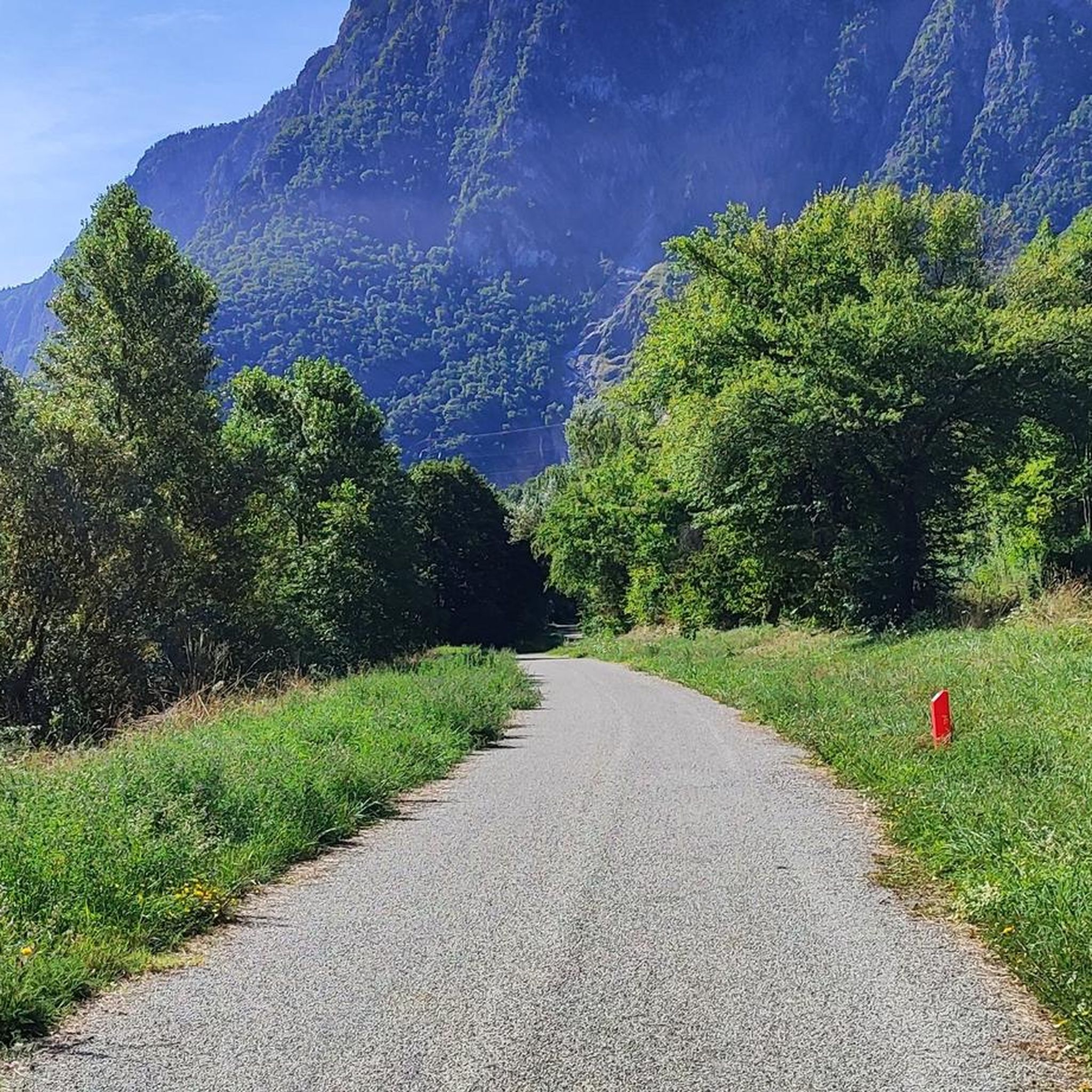
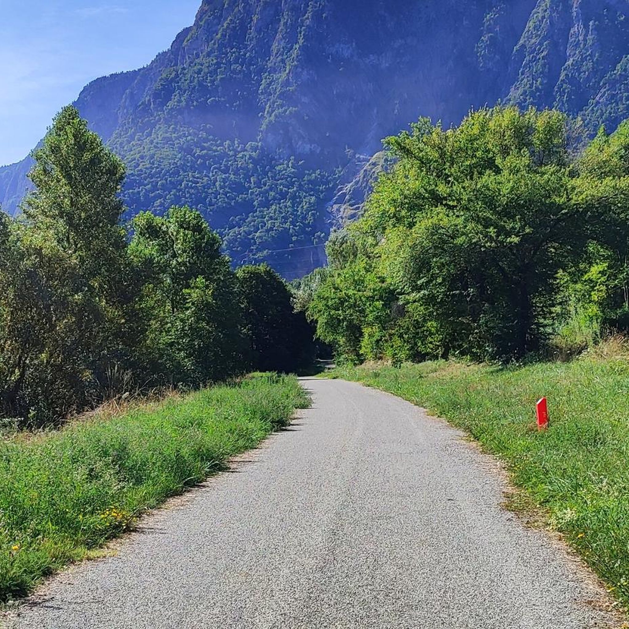
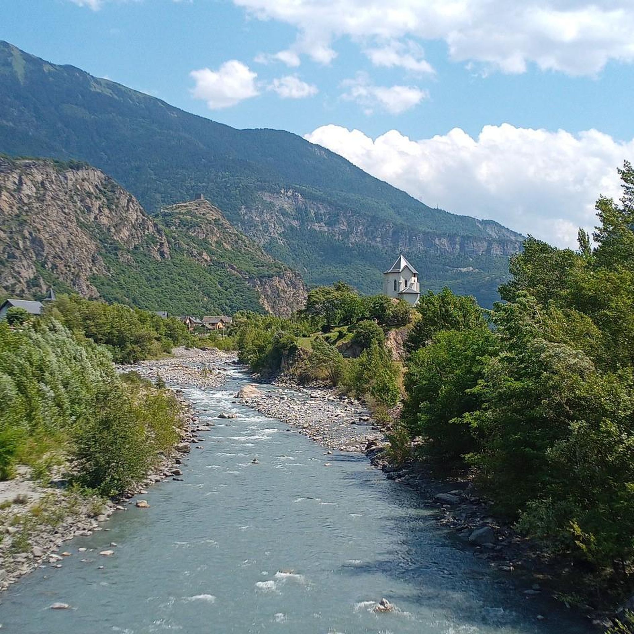
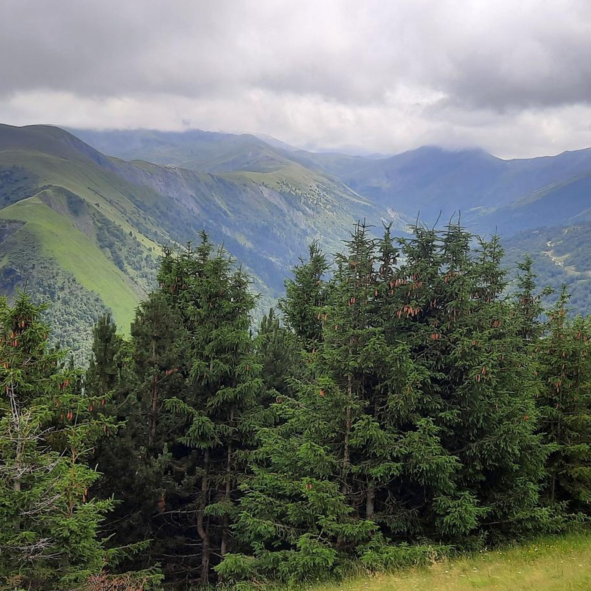
Hiking around Sainte-Marie-De-Cuines offers diverse landscapes in the Savoie department, situated on the left bank of the Arc River. The region is characterized by its position at the foot of the Glandon mountain pass, featuring forested slopes of the Grand Châtelard and panoramic views of the Aiguilles d'Arves, l'Étendard, Belledonne, Lauzière, and Cheval Noir mountains. Iconic mountain passes like Col de la Madeleine and Col du Glandon, along with the dramatic Lacets de Montvernier, define the area's varied terrain. Hikers can explore alpine lakes, dense forests, and routes within reasonable distance of the Vanoise National Park.
Best hiking trails around Sainte-Marie-De-Cuines
- The most popular hiking route is Les Lacets de Montvernier – Old tower loop from Pontamafrey-Montpascal, a 5.2 miles (8.3 km) trail that takes 2 hours 49 minutes to complete. This moderate route features the iconic hairpin bends of Les Lacets de Montvernier and views of historical structures.
- Another top favourite among local hikers is Pic Nord du Merlet loop from Saint-Alban-des-Villards, a difficult 9.2 miles (14.8 km) path. This challenging trail involves significant elevation gain, leading to expansive alpine vistas.
- Local hikers also love the Col de Chaussy – Saint-Bernard-de-Méno Chapel loop from Pontamafrey-Montpascal, a 7.4 miles (11.9 km) trail leading through the Col de Chaussy, offering views of the Maurienne valley and Arves massif, often completed in about 4 hours 33 minutes.
- Hiking around Sainte-Marie-De-Cuines is defined by high mountain passes, alpine lakes, and extensive forested slopes. The network offers options for different ability levels, from easy strolls to challenging ascents.
- The routes in Sainte-Marie-De-Cuines are highly rated by the komoot community with an average score of 4.6 stars from over 800 reviews. More than 7,900 hikers have used komoot to explore Sainte-Marie-De-Cuines's varied terrain.
Last updated: July 1, 2026
5.0
(1)
26
hikers
14.8km
06:11
1,090m
1,090m
Hard hike. Very good fitness required. Mostly accessible paths. Sure-footedness required.
5.0
(1)
8
hikers
17.0km
06:39
1,210m
1,210m
Hard hike. Very good fitness required. Easily-accessible paths. Suitable for all skill levels.

Sign up for free
8
hikers
6.35km
01:53
190m
190m
Easy hike. Great for any fitness level. Easily-accessible paths. Suitable for all skill levels.
4.5
(2)
6
hikers
Moderate hike. Good fitness required. Easily-accessible paths. Suitable for all skill levels.
5
hikers
8.41km
03:06
490m
490m
Hard hike. Good fitness required. Sure-footedness, sturdy shoes and alpine experience required.
Get access to more routes and recommendations from other explorers.
Sign up for free
Already have an account?
Our route recommendations are based on thousands of hikes, rides, and runs completed by other people on komoot.
Start today with a free account
Your next adventure awaits.
Login or Signup

Tips from the Community

Church worth seeing.
2
0

No information...
0
0
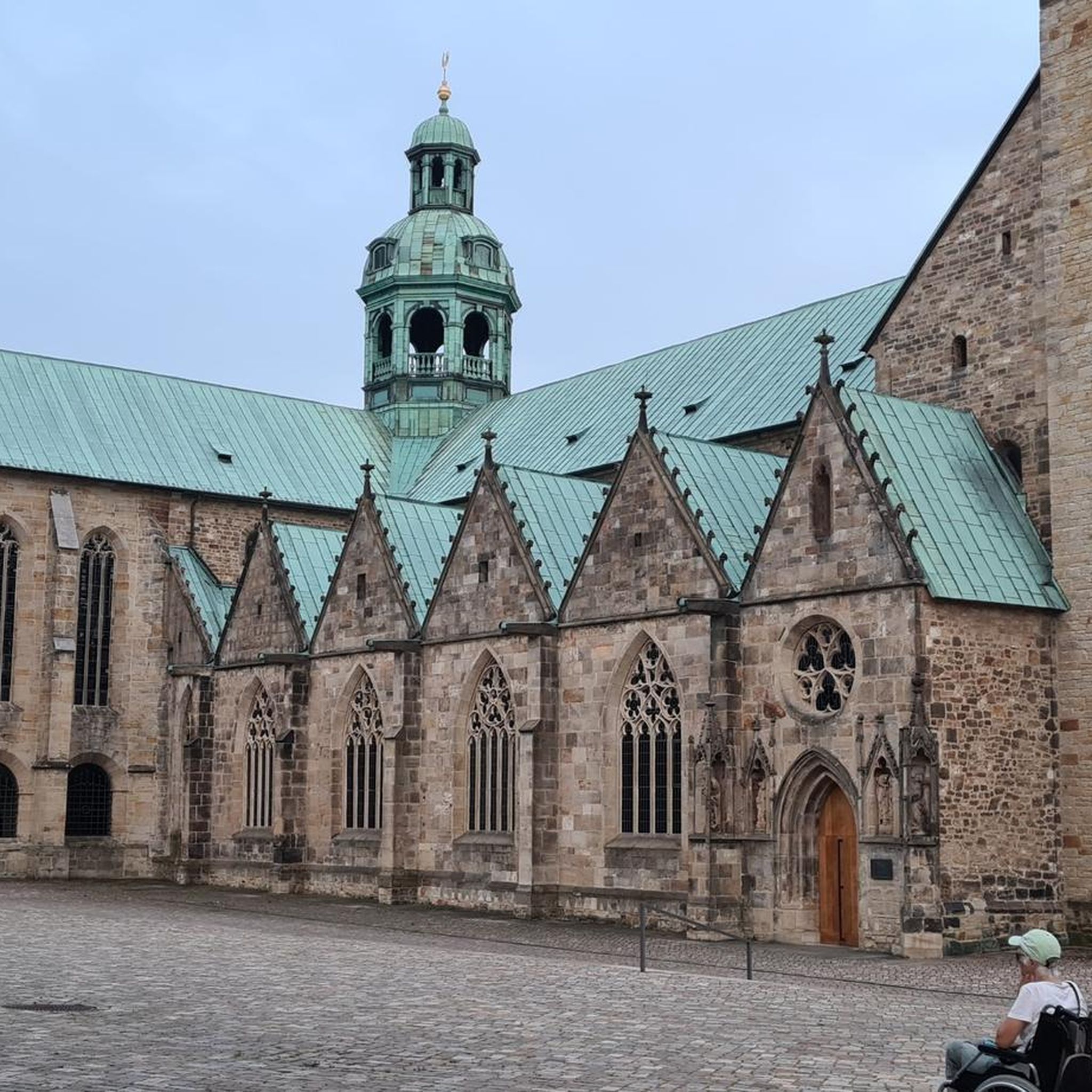
The church was built in the 13th century in the Romanesque style, of which the bell tower remains, though it was decapitated on the orders of Albitte during the French Revolution. In the 18th century, the church was rebuilt in the Baroque style, of which the current sacristy and some of the furnishings (two statues, a painting, the chancel cross, and the tabernacle) still remain. Having fallen into ruin, it was rebuilt in 1948 in a Sardinian style with Lombard bands. The exterior was restored between 1962 and 1964, and again in 2009. Finally, the chancel was repainted in 1991. (Source: Wikipedia)
0
0
I don't know if the route from the bottom is free again but access, by road, is easy.
0
0

Towards the end of this hike, an improbable place along the path... a break is necessary. Very nice place and welcome
0
0
Frequently Asked Questions
How many hiking trails are available around Sainte-Marie-De-Cuines?
There are over 270 hiking routes in the Sainte-Marie-De-Cuines area, catering to various skill levels. This includes approximately 98 easy, 116 moderate, and 57 difficult trails, ensuring options for everyone from casual walkers to experienced mountaineers.
What kind of landscapes can I expect to see while hiking in Sainte-Marie-De-Cuines?
The region offers diverse alpine scenery, situated at the foot of the Glandon mountain pass. You'll encounter forested slopes of the Grand Châtelard, picturesque valleys like Vallée Étroite, and stunning panoramic views of major peaks such as the Aiguilles d'Arves, l'Étendard, Belledonne, Lauzière, and Cheval Noir mountains. Many routes also feature beautiful alpine lakes.
Are there any family-friendly hiking options in Sainte-Marie-De-Cuines?
Yes, Sainte-Marie-De-Cuines offers several easy and moderate trails suitable for families. While specific family-focused routes aren't detailed, the presence of nearly 100 easy routes suggests many accessible paths. Look for trails with shorter distances and minimal elevation gain for a pleasant family outing.
Can I bring my dog on the hiking trails around Sainte-Marie-De-Cuines?
Many trails in the Sainte-Marie-De-Cuines area are generally dog-friendly, allowing you to enjoy the natural beauty with your canine companion. However, always keep your dog on a leash, especially in areas with livestock or wildlife, and be mindful of local regulations, particularly if venturing near or into protected areas like the Vanoise National Park.
What are some notable landmarks or attractions I can see on a hike?
Hikers can discover several iconic features. The dramatic Montvernier Hairpins are a unique sight, and routes often pass through or near famous mountain passes like Col du Chaussy or Col de la Croix de Fer. Some trails also offer glimpses of historical features like the old tower of Bérold or medieval remnants.
Are there any circular hiking routes available?
Yes, the region features several excellent loop hikes. For example, the Col de Chaussy – Saint-Bernard-de-Méno Chapel loop from Pontamafrey-Montpascal is a moderate 11.9 km route offering stunning views. Another challenging option is the Pic Nord du Merlet loop from Saint-Alban-des-Villards, which provides expansive alpine vistas.
What is the best time of year to go hiking in Sainte-Marie-De-Cuines?
Sainte-Marie-De-Cuines offers hiking opportunities year-round, thanks to its diverse terrain. Lower-altitude forest trails are suitable for walking even in colder months. For higher alpine routes and mountain passes, late spring through early autumn (May to October) generally provides the most favorable weather conditions and clear trails, avoiding snow and ice.
Are there any challenging hikes for experienced mountaineers?
Absolutely. The area is known for its challenging ascents and high mountain passes. The Lac de la Grande Léchère loop from La Chambre is a difficult 16.7 km hike with significant elevation gain, characteristic of the more demanding routes available for experienced hikers.
What do other hikers enjoy most about the trails in Sainte-Marie-De-Cuines?
The trails in Sainte-Marie-De-Cuines are highly rated by the komoot community, with an average score of 4.6 stars from over 860 reviews. Hikers frequently praise the stunning panoramic views of the surrounding French Alps, the variety of landscapes from dense forests to alpine lakes, and the well-maintained paths that cater to all abilities.
Is there public transport or parking available for hikers?
While specific public transport details for trailheads are limited, Sainte-Marie-De-Cuines is a village with amenities, implying parking options are generally available within the village or at popular starting points for trails. It's advisable to check local information for specific parking areas near your chosen trailhead. For broader regional information, you might find details on the local tourism website: tourisme-la-chambre.com.
Are there any easy, shorter walks suitable for beginners?
Yes, beginners can find numerous easy routes. For instance, the La Chambre Pumptrack loop from Saint-Avre - La Chambre is a moderate 7.6 km walk with relatively low elevation gain, offering a good introduction to hiking in the area without being overly strenuous.
Most popular routes around Sainte-Marie-De-Cuines
Most popular attractions around Sainte-Marie-De-Cuines

Get inspired with the komoot mobile app


Explore more
Browse the best Hikes in other regions.
