Top 8 Mountain Passes around Saint-Félicien
Best mountain passes around Saint-Félicien are found in a region characterized by forests, rivers, and Lac Saint-Jean in Quebec, Canada. While traditional high-altitude mountain passes are not prominent in the immediate vicinity, the broader area offers scenic drives and elevated natural sites. These routes provide opportunities to experience significant elevation changes and expansive natural views. The region offers varied terrain for outdoor activities, including cycling and hiking.
Best mountain passes around Saint-Félicien
- The most popular mountain passes is Buisson Pass…
Last updated: July 10, 2026
Buisson Pass
Highlight • Mountain Pass
Translated by Google •
Tip by

Rouvey Pass
Highlight • Mountain Pass
Translated by Google •
Tip by
Sign up now to discover places like this
Get recommendations on the best single tracks, peaks, & plenty of other exciting outdoor places.
Sign up for free
Col du Fau (1021 m)
Highlight • Mountain Pass
Translated by Google •
Tip by
Saint-Genest Pass
Highlight • Mountain Pass
Translated by Google •
Tip by
Rochepaule Pass
Highlight • Mountain Pass
Translated by Google •
Tip by
Sign up for free to discover even more mountain passes around Saint-Félicien.
Sign up for free
Already have an account?
Start today with a free account
Your next adventure awaits.
Login or Signup


Tips from the Community


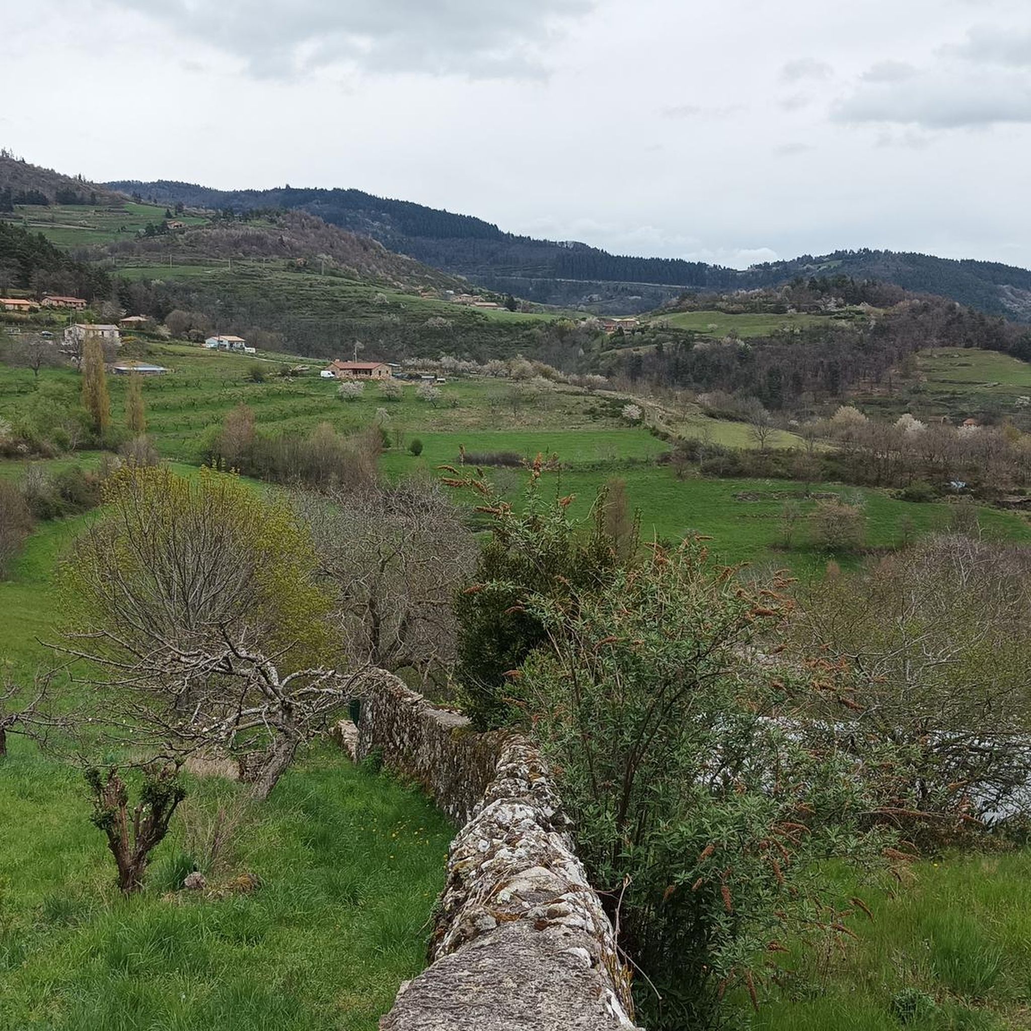
Beautiful downhill finish for the end of L'Ardéchoise. Be careful at the end of the descent with some very technical turns.
0
1

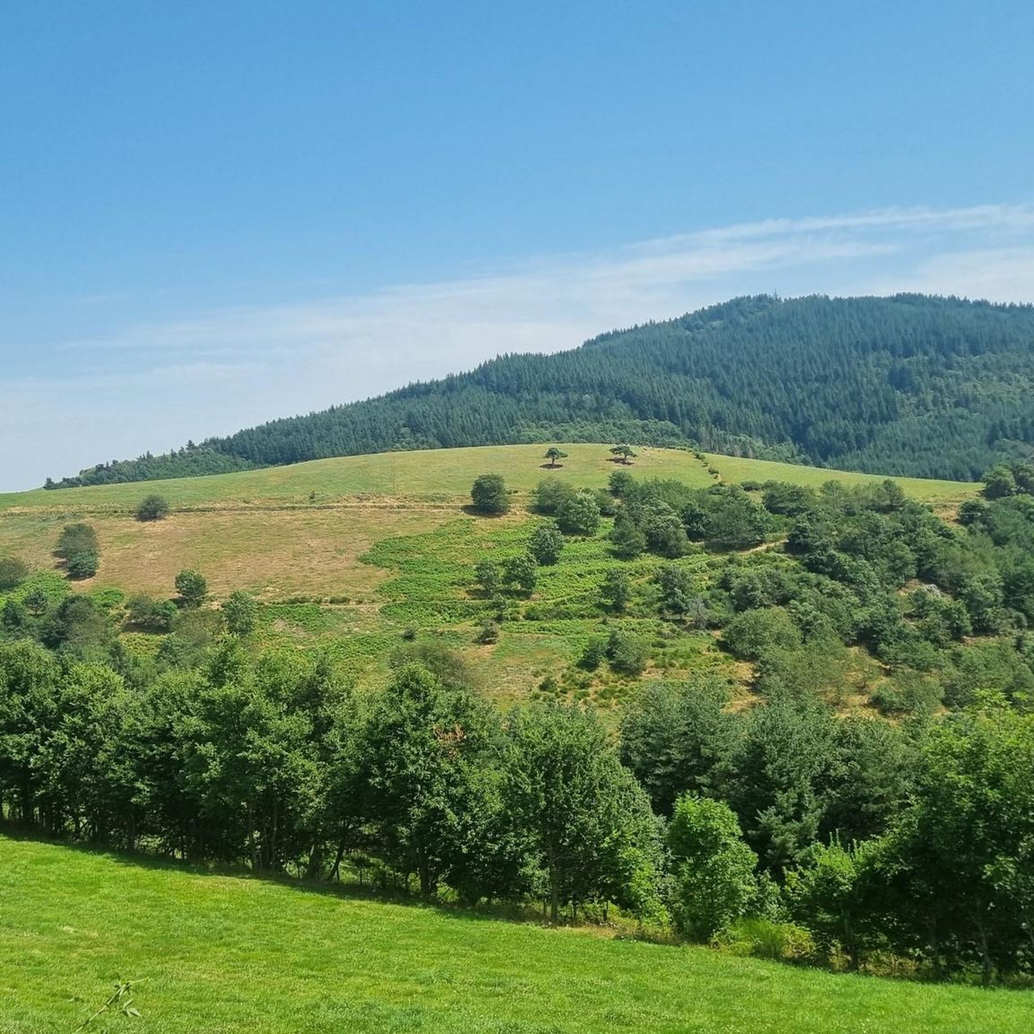
At the Col du Faux, you are at an altitude of more than 1000 meters and Mont Mézenc shows itself in all its grandeur while Mont Gerbier de Jonc makes its appearance.
0
0

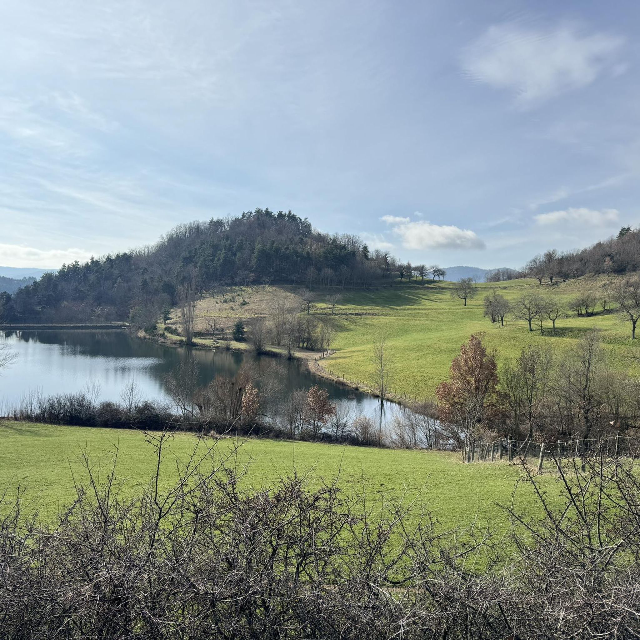
The Col de Saint Genest from Lamastre is 8 km long with a total drop of 336 m. The average gradient is 4.2% with maximum gradients of 6.2%.
1
0
The Col du Faux from Saint-Félicien is 10.4 km long with a total drop of 481 m. The average gradient is 4.6% with maximum gradients of 8.8%.
2
0
The Col du Rouvey from Satilleu is 15.5 km long with a total drop of 768 m. The average gradient is 4.95% with maximum gradients of 6.8%.
1
0
The Côte de Rochepaule from the Pont de l'Aygueneyre is 3.7 km long with a total drop of 177 m. The average gradient is 4.78% with maximum gradients of 6%.
1
0
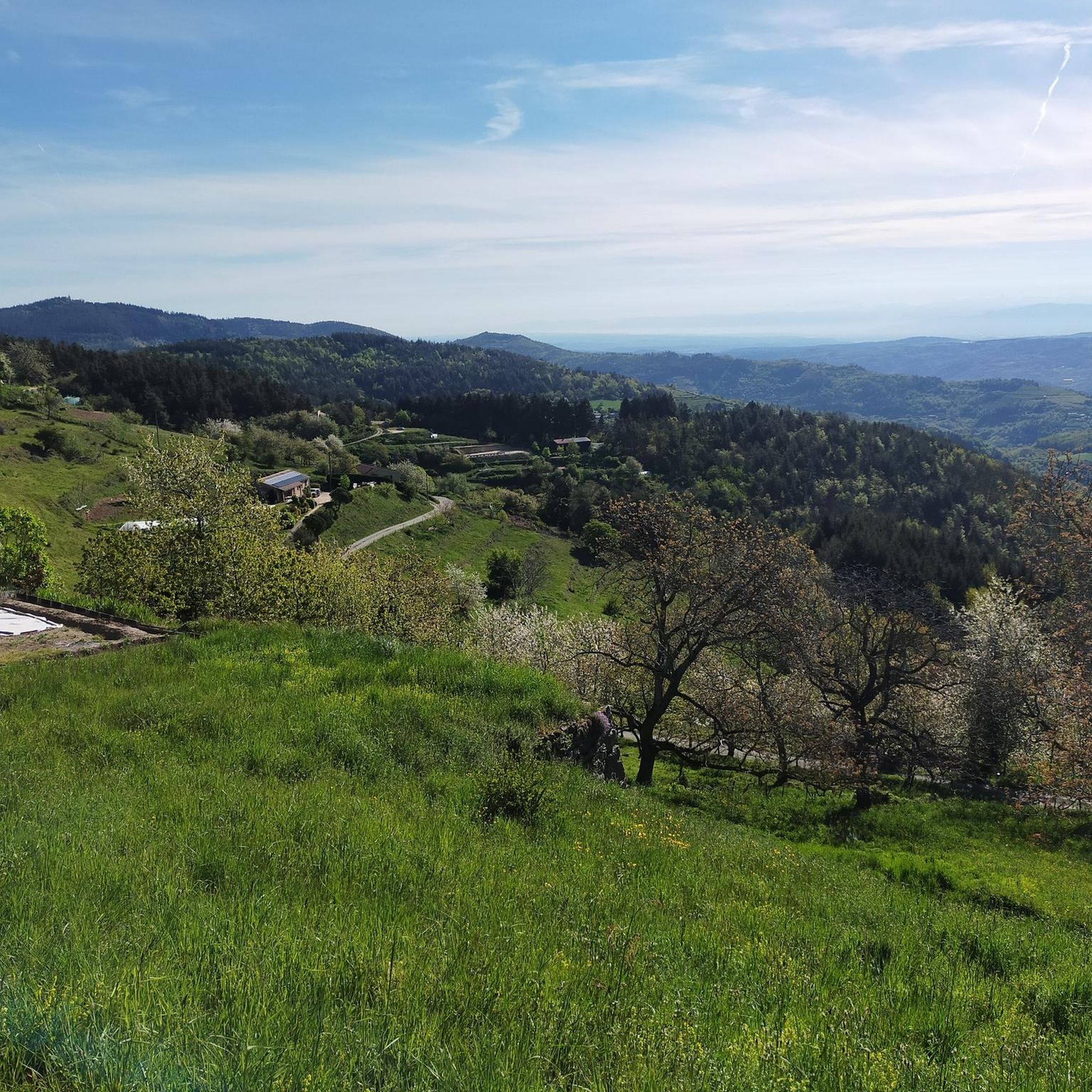
The Col du Buisson from Saint Félicien is 13km long with a total drop of 377m. The average gradient is 2.9% with maximum gradients of 7.7%.
2
1
Frequently Asked Questions
What kind of mountain passes can I expect to find around Saint-Félicien?
While Saint-Félicien itself, located in Quebec, Canada, is known more for its forests, rivers, and Lac Saint-Jean, the broader region offers scenic drives and elevated natural sites that provide experiences similar to traditional mountain passes. The komoot guide highlights several notable climbs, such as Buisson Pass and Rouvey Pass, which offer significant elevation changes and scenic views for cyclists and hikers.
What are some popular mountain passes mentioned in the guide?
The guide highlights several popular climbs. Buisson Pass is 13 km long with a total drop of 377 m. Another popular ascent is Rouvey Pass, a 15.5 km route with a total drop of 768 m. Visitors also enjoy Rochepaule Pass, which is 3.7 km long with a total drop of 177 m.
Are there any challenging climbs for experienced cyclists?
Yes, for experienced cyclists, Rouvey Pass is a popular and challenging ascent. It's 15.5 km long with an average gradient of 4.95% and maximum gradients of 6.8%, making it suitable for both recreational and professional cyclists. Another option is Col du Fau (1021 m), which from Saint-Félicien is 10.4 km long with an average gradient of 4.6% and maximum gradients of 8.8%.
What outdoor activities can I do near these mountain passes?
Beyond exploring the passes themselves, the region around Saint-Félicien offers diverse outdoor activities. You can find numerous routes for gravel biking, hiking, and road cycling. For example, there are moderate hiking routes like the 'View of Nouzieres – Buisson Pass loop' and challenging road cycling routes such as 'On the roads of l'Ardéchoise'.
Are there hiking trails near the mountain passes?
Yes, there are several hiking trails available. For instance, near Buisson Pass, you can find moderate hiking routes like the 'View of Nouzieres – Buisson Pass loop' (13.1 km) or the 'Buisson Pass – Col du Buisson loop' (12.8 km). You can explore more options in the Hiking around Saint-Félicien guide.
What are the best times to visit Saint-Félicien for outdoor activities?
The best time to visit Saint-Félicien for outdoor activities largely depends on your preferred activity. For mountain biking and hiking, the warmer months from late spring to early autumn (May to October) generally offer the most favorable conditions. During winter, areas like Tobo-Ski transform into hubs for skiing and snowboarding.
Are there any family-friendly options for exploring the elevated areas?
While specific 'family-friendly mountain passes' aren't explicitly detailed, the region offers various scenic drives and natural areas suitable for families. For example, the Fjord Route provides dramatic elevated views of the Saguenay Fjord, which can be enjoyed by car, and many hiking trails around Saint-Félicien offer varying difficulties, including easier options like the 'Montgauchy greenhouse loop' (4.9 km) for a more relaxed outing.
What kind of views can I expect from the mountain passes?
The mountain passes and elevated routes in the region offer diverse and stunning views. From Col du Fau (1021 m), you can enjoy views of Mont Mézenc and Mont Gerbier de Jonc. The Fjord Route, while not a traditional pass, provides dramatic vistas of the Saguenay Fjord and its surrounding mountainous terrain, offering a sense of expansive natural beauty.
What is the length and elevation gain of <a href="https://www.komoot.com/highlight/3377925" target="_blank" rel="noopener">Saint-Genest Pass</a>?
The Saint-Genest Pass, when approached from Lamastre, is 8 km long with a total elevation gain of 336 m. It features a steep start followed by a more rolling final section, with an average gradient of 4.2% and maximum gradients of 6.2%.
What are some notable scenic drives in the broader region?
Beyond the specific passes, the broader region offers renowned scenic drives. The Charlevoix region features a 'Scenic Mountain Drive' (121 km) that winds through mountains and national parks. The Fjord Route, tracing a 'U' shape around the Saguenay Fjord, also provides dramatic elevated views of the fjord and its mountainous surroundings.
Are there options for mountain biking in the Saint-Félicien area?
Yes, Saint-Félicien and its surroundings are well-suited for mountain biking. Areas like Tobo-Ski offer trails, and the Centre de vélo de montagne de St-Félicien provides various options. Trails like 'Les Crans' (6.1 km, black diamond) and 'Chemin du Lac Julien' cater to different skill levels, allowing riders to explore the hilly and forested landscapes.
Most popular routes around Saint-Félicien
Most popular attractions around Saint-Félicien

Get inspired with the komoot mobile app


Explore more
See even more epic mountain passes by checking out these guides around Saint-Félicien:
