The best road cycling routes around Marmanhac
4.2
(142)
4,305
riders
237
rides
Road cycling routes around Marmanhac are situated within the Cantal department, characterized by its dramatic volcanic terrain and the Cantal Mountains. This region offers a network of roads that traverse peaks, valleys, and high plateaus, providing varied topography for cyclists. The landscape includes demanding ascents and scenic routes through the Parc Naturel Régional des Volcans d'Auvergne.
Best road cycling routes around Marmanhac
- The most popular road cycling route is Mandailles – Col de la Croix de Cheules loop from Laroquevieille…
Last updated: July 1, 2026
4.2
(6)
70
riders
33.9km
01:50
650m
650m
Moderate road ride. Good fitness required. Some segments of this route may be unpaved and difficult to ride.
21
riders
109km
06:00
2,270m
2,270m
Hard road ride. Very good fitness required. Mostly well-paved surfaces and easy to ride.

Sign up for free
22
riders
81.8km
04:04
1,310m
1,310m
Hard road ride. Very good fitness required. Mostly well-paved surfaces and easy to ride.
15
riders
65.2km
03:20
1,130m
1,130m
Hard road ride. Very good fitness required. Mostly well-paved surfaces and easy to ride.
5.0
(1)
12
riders
32.1km
01:45
680m
680m
Moderate road ride. Good fitness required. Mostly well-paved surfaces and easy to ride.
Get access to more routes and recommendations from other explorers.
Sign up for free
Already have an account?
Our route recommendations are based on thousands of hikes, rides, and runs completed by other people on komoot.
Start today with a free account
Your next adventure awaits.
Login or Signup

Tips from the Community


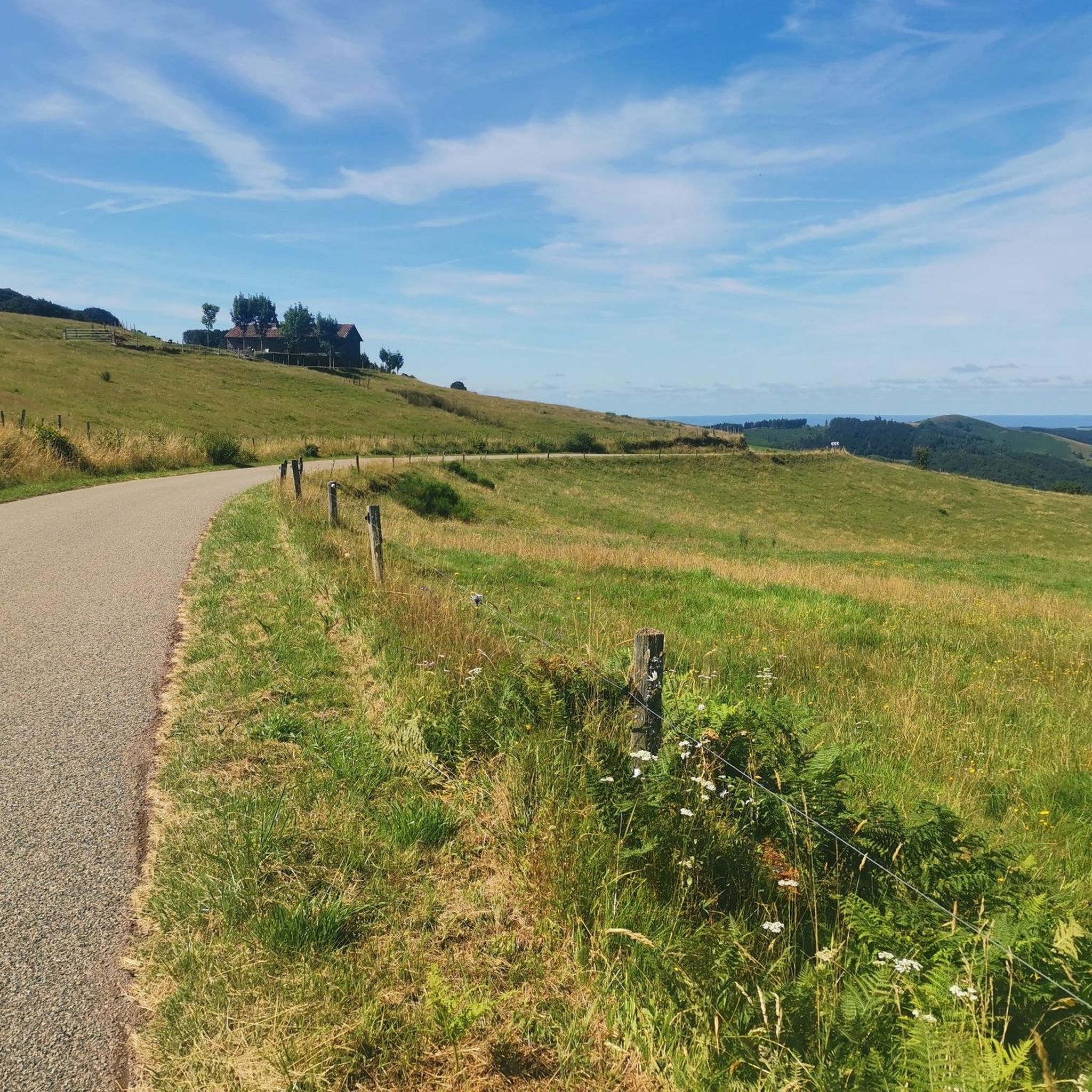
nice little climb on a road bike far from everything with two small walls
0
0

Rain, visibility 1m, but otherwise great
0
0

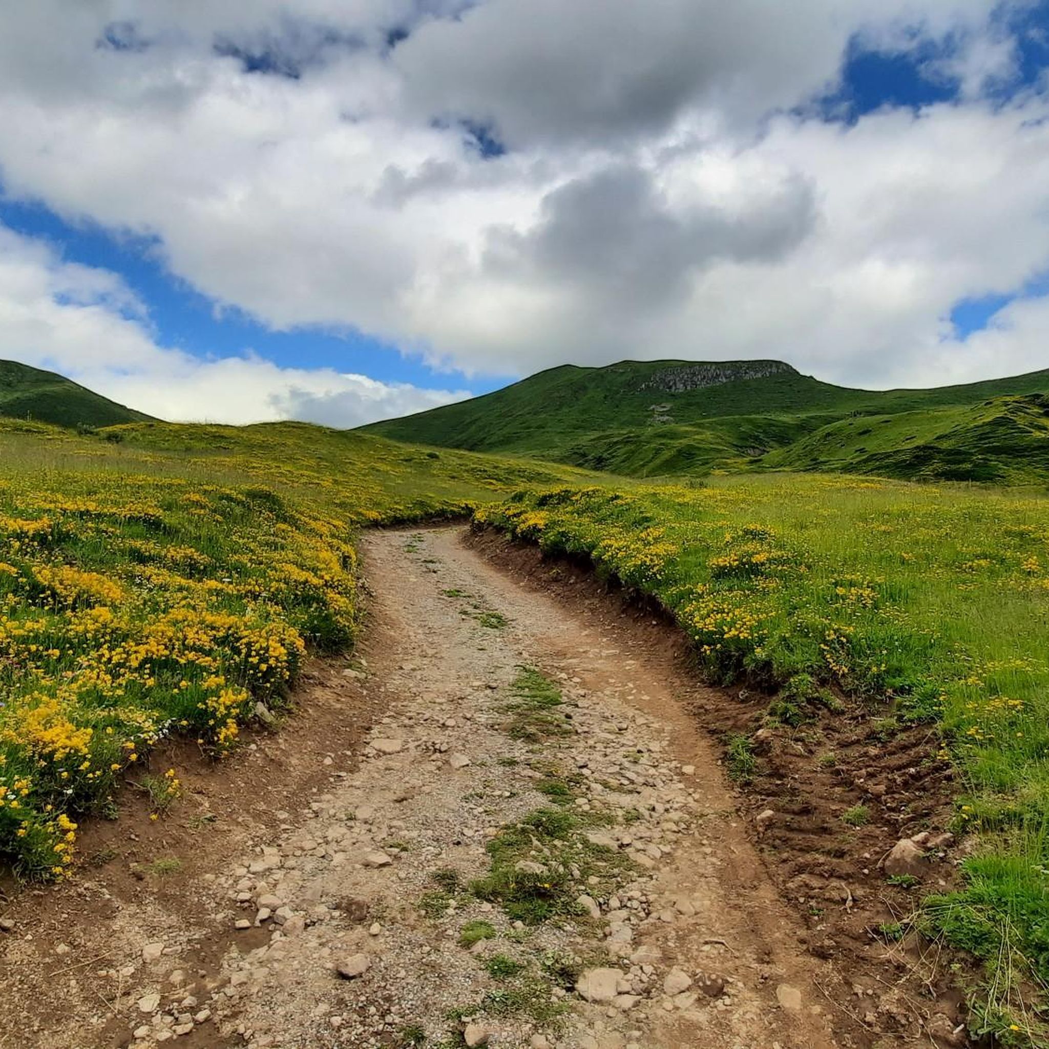
It's steep but you absolutely have to do this pass because the landscape is magnificent.
1
0

Small entrance fee (2024): Adult 4.00 EUR Child 1.50 EUR Set price group adults 3.50 EUR Set price group children 1.00 EUR
0
0

Did it last week with the cycling friends. Splendor of a Col. 🤩
0
0

The Jordanne Valley is a lush green valley that was formed as a glacial valley of the Puy Mary. A path through the dense greenery runs through the Jordanne Gorge, stretching for more than 3 km between the communities of Saint-Julien and Saint-Cirgues. A path with small footbridges and bridges allows visitors to discover this beautiful place and takes them deep into the gorge. There is a fee to enter.
1
0
Salers is a municipality in the Cantal department in the Auvergne-Rhône-Alpes region. The town is a completely preserved small town from the Renaissance period, with private and public buildings, city walls, defensive towers and a church. It was included in the association of the most beautiful villages in France. Despite its small population of around 300 inhabitants, the town is a historical, cultural and agricultural center in the sparsely populated mountain region of the Monts du Cantal. Source: https://de.wikipedia.org/wiki/Salers
3
0
Frequently Asked Questions
How many road cycling routes are available around Marmanhac?
There are over 200 road cycling routes around Marmanhac, catering to various skill levels. This includes 12 easy routes, over 100 moderate routes, and more than 100 difficult routes, offering a wide range of options for every cyclist.
What kind of terrain can I expect on road cycling routes around Marmanhac?
The region around Marmanhac is characterized by its dramatic volcanic terrain within the Cantal Mountains and the Parc Naturel Régional des Volcans d'Auvergne. Cyclists can expect a mix of challenging mountain passes, such as the legendary Pas de Peyrol, and picturesque scenery through valleys, high plateaus, and traditional villages. The routes often feature significant elevation gains, reflecting the area's volcanic origins.
Are there any challenging climbs for experienced road cyclists?
Yes, the Cantal region is renowned for its demanding ascents. The Ascent to Pas de Peyrol – Pas de Peyrol Pass (1,589 m) loop from Jussac is a difficult 111.4 km route that includes the Pas de Peyrol, the highest road pass in the Massif Central, known for its steep gradients up to 15%. Other significant climbs include the Col de Néronne and the Col de Baladour. The region has even hosted stages of the Tour de France.
Can I find easier road cycling routes suitable for beginners near Marmanhac?
While the region is known for its challenging terrain, there are 12 easy road cycling routes available around Marmanhac. These routes offer a gentler introduction to the area's beauty, allowing beginners or those seeking a more relaxed ride to enjoy the landscapes without extreme difficulty. You can explore options that traverse picturesque villages and less demanding sections of the countryside.
What natural features or landmarks can I see while cycling around Marmanhac?
The road cycling routes around Marmanhac offer access to stunning natural features and landmarks. You can encounter the dramatic Jordanne gorges and Pas de Cère Gorges, as well as the serene Roucole Waterfall. The region is dominated by the Parc Naturel Régional des Volcans d'Auvergne, offering views of extinct volcanoes and high plateaus. Iconic passes like Col de Légal and Col de la Croix de Cheules are also prominent features.
Are there any specific viewpoints worth visiting on a road cycling tour?
Absolutely. The region is rich with panoramic viewpoints. Puy Mary, an iconic extinct volcano, offers breathtaking 360-degree views from its summit. The Pas de Peyrol, the highest road pass in the Massif Central, also provides spectacular vistas. Additionally, the Hangman's Rock is another notable viewpoint in the area, offering expansive scenery.
What is the best time of year for road cycling in Marmanhac?
The best time for road cycling in Marmanhac, given its mountainous terrain, is typically from late spring to early autumn (May to October). During these months, the weather is generally more stable, and mountain passes are clear of snow. Summer offers warm temperatures, while spring and autumn provide cooler rides and vibrant landscapes.
Are there road cycling routes that are circular or loop back to the start?
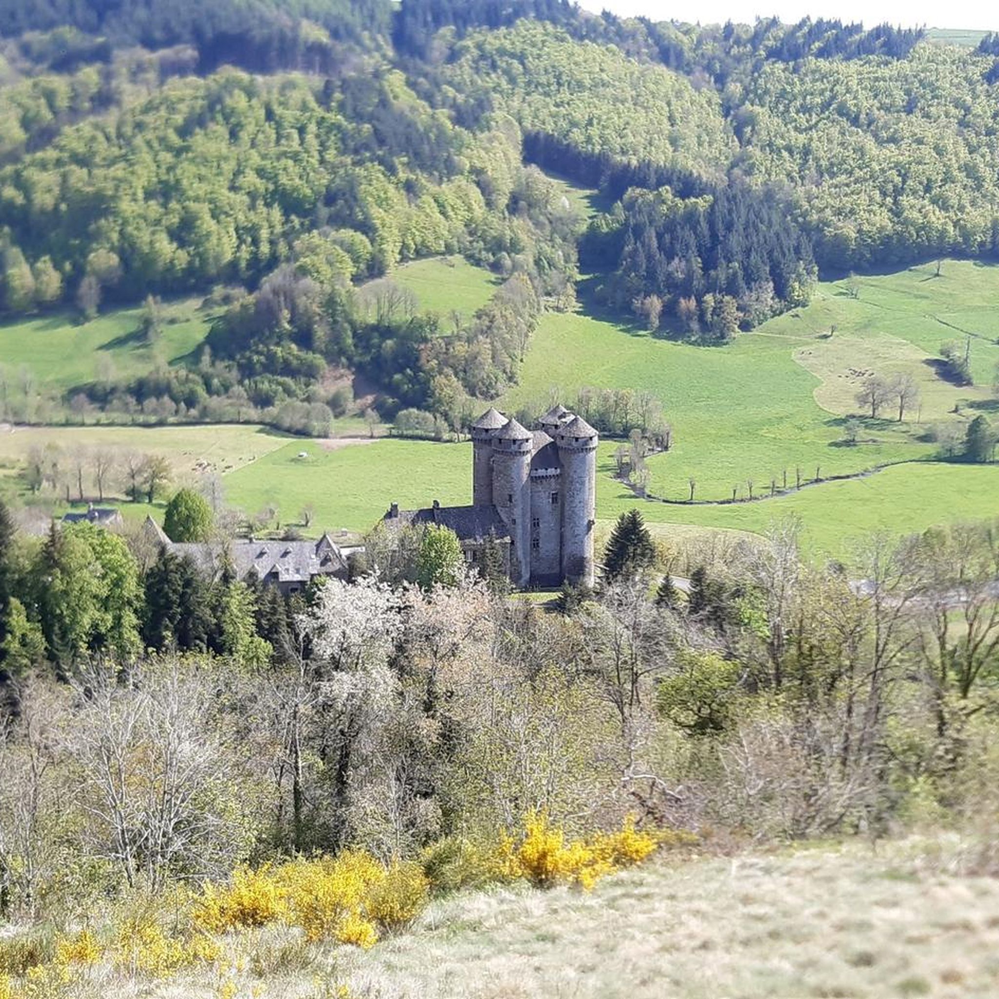
Yes, many road cycling routes around Marmanhac are designed as loops, allowing you to start and finish in the same location. Examples include the moderate Mandailles – Col de la Croix de Cheules loop from Laroquevieille and the more challenging Col de la Croix de Cheules – Le Mur de la Déboulade loop from Jussac. The Sédaiges Castle loop from Marmanhac is another popular circular option.
What do other cyclists say about road cycling in Marmanhac?
The road cycling routes around Marmanhac are highly rated by the komoot community, with an average score of 4.5 stars from over 140 reviews. Cyclists often praise the stunning volcanic landscapes, the variety of challenging climbs and scenic descents, and the quiet, well-maintained roads that wind through the Cantal region.
Are there any specific attractions or places to explore near the cycling routes?
Beyond the natural beauty, you can explore several attractions. The Sédaiges Castle loop from Marmanhac offers a route that passes by this historical site. The region is also home to charming traditional villages that provide opportunities for cultural stops along your ride. For more information on cycling in the Cantal region, you can visit Hautes Terres Tourisme.
Are there any shorter road cycling routes for a quick ride?
Yes, for those looking for a shorter ride, the Mandailles – Col de la Croix de Cheules loop from Laroquevieille is a moderate 34.3 km route that can be completed in under two hours. This route offers a taste of the region's terrain without committing to a full-day excursion.
Where can I find parking for road cycling routes in Marmanhac?
While specific parking facilities for cyclists in Marmanhac are not detailed, many routes start from or pass through villages and towns like Jussac or Laroquevieille, where public parking is generally available. Aurillac, approximately 14.5 km from Marmanhac, serves as a larger hub with more extensive parking options and is a common starting point for routes into the Cantal mountains.
How can I access road cycling routes around Marmanhac using public transport?
Marmanhac's proximity to Aurillac makes it accessible. Aurillac is a regional hub, and while specific public transport options for carrying bikes directly to route starting points are not widely detailed, it's advisable to check local bus or train services for their bike policies. Planning your route to start from Aurillac or a nearby village with public transport links would be the most practical approach.
Most popular attractions around Marmanhac

Get inspired with the komoot mobile app


Explore more
Browse the best Road cycling routes in other regions.
