The best walks and hikes around Arras-Sur-Rhône
4.5
(354)
2,681
hikers
165
hikes
Hiking around Arras-Sur-Rhône offers diverse terrain, situated between the Rhône River and the foothills of the Massif Central. The landscape transitions from alluvial plains along the river to wooded Ardèche hills and distant Pilat mountains. Features include terraced vineyards, orchards, and the rugged Cance Valley Gorges. This region provides varied hiking experiences for different fitness levels.
Best hiking trails around Arras-Sur-Rhône
- The most popular hiking route is Lac des Meinettes Trail, a 6.7 miles (10.7 km) trail that takes 2 hours 52 minutes to complete. This route offers panoramic views of the Ardèche hills and Pilat mountains.
- Another top favourite among local hikers is Meinettes Lake Loop, a moderate 6.1 miles (9.8 km) path. This trail navigates varied terrain with views of the surrounding landscape.
- Local hikers also love the Arras Castle Ruins – Old mill and bridge loop from Arras-sur-Rhône, a 7.7 miles (12.3 km) trail leading through historical elements and views of the Rhône, often completed in about 3 hours 44 minutes.
- Hiking around Arras-Sur-Rhône is defined by the Rhône Valley, Ardèche hills, and terraced vineyards. The network offers options for different ability levels, from easy paths to more challenging routes.
- The routes in Arras-Sur-Rhône are highly rated by the komoot community with an average score of 4.4 stars from over 300 reviews. More than 2400 hikers have used komoot to explore Arras-Sur-Rhône's varied terrain.
Last updated: July 1, 2026
4.5
(2)
40
hikers
12.3km
03:45
420m
420m
Moderate hike. Good fitness required. Easily-accessible paths. Suitable for all skill levels.
5.0
(2)
14
hikers
12.6km
03:52
450m
450m
Moderate hike. Good fitness required. Easily-accessible paths. Suitable for all skill levels.

Sign up for free
3.5
(2)
13
hikers
16.0km
05:12
710m
710m
Hard hike. Very good fitness required. Easily-accessible paths. Suitable for all skill levels.
4.0
(1)
9
hikers
18.8km
05:30
490m
480m
Hard hike. Very good fitness required. Easily-accessible paths. Suitable for all skill levels.
4.0
(1)
5
hikers
8.65km
02:33
240m
230m
Moderate hike. Good fitness required. Easily-accessible paths. Suitable for all skill levels.
Get access to more routes and recommendations from other explorers.
Sign up for free
Already have an account?
Our route recommendations are based on thousands of hikes, rides, and runs completed by other people on komoot.
Start today with a free account
Your next adventure awaits.
Login or Signup

Tips from the Community

15min from the village via gardens and vineyards
0
0
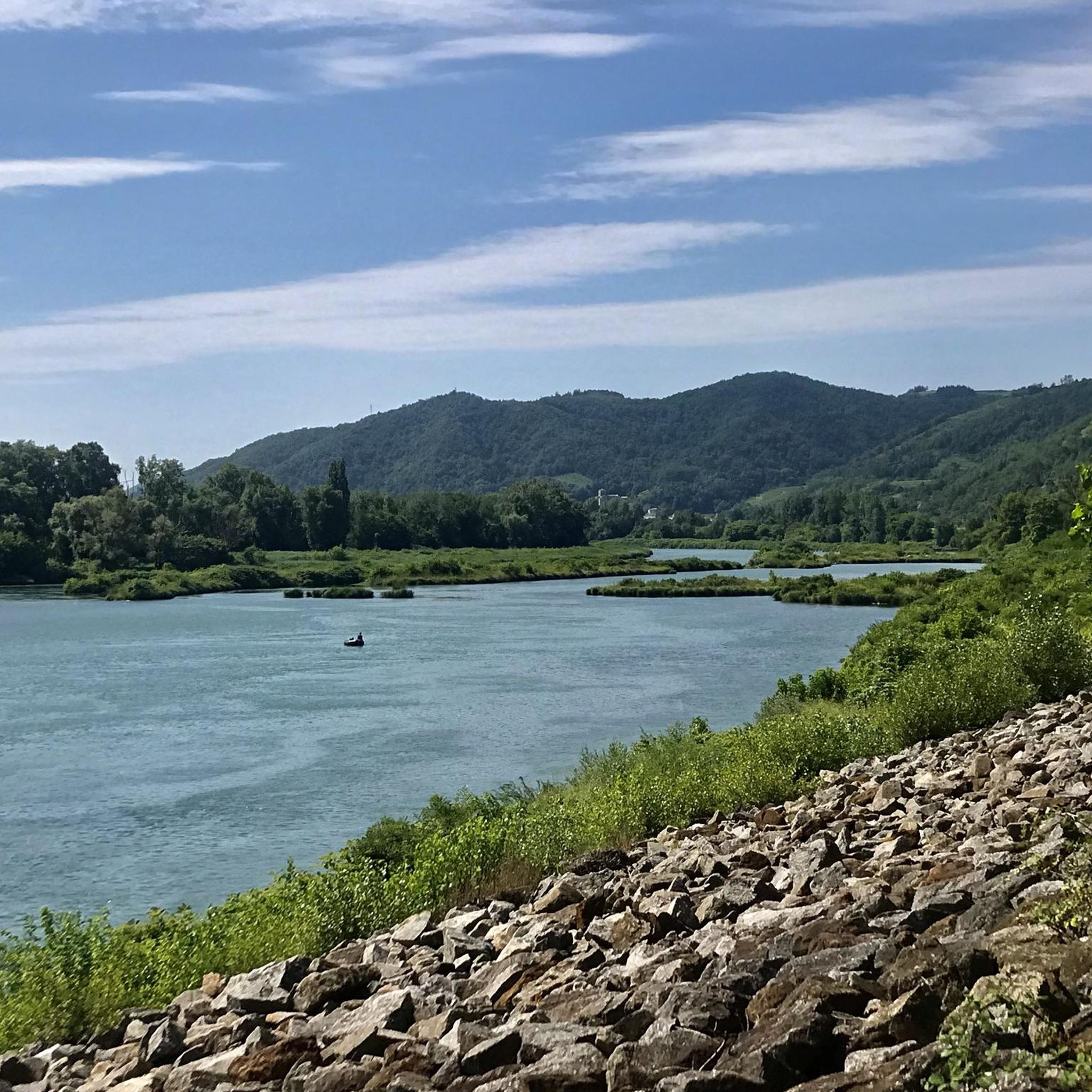
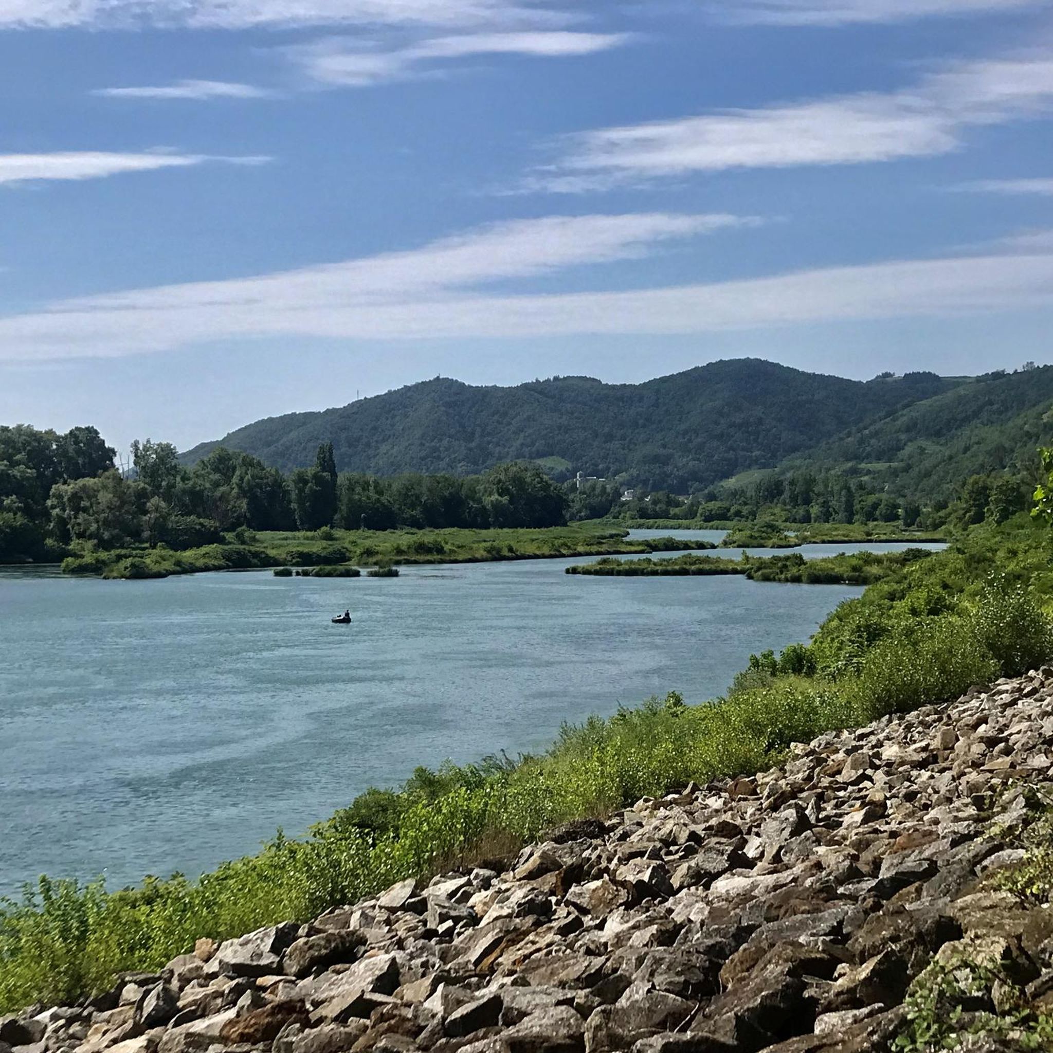
Beautiful little village on the Rhone
0
0

Nice place to run or walk. You can also use the tables and benches for a picnic.
0
0
Frequently Asked Questions
What kind of terrain can I expect when hiking around Arras-Sur-Rhône?
The region offers a diverse landscape, transitioning from alluvial plains along the Rhône River to wooded Ardèche hills and the more distant Pilat mountains. You'll encounter picturesque terraced vineyards, orchards, and the rugged Cance Valley Gorges, providing varied terrain and scenic vistas.
How many hiking trails are available in the Arras-Sur-Rhône area?
There are over 140 hiking routes around Arras-Sur-Rhône, catering to various preferences and fitness levels. This includes a good mix of easy, moderate, and more challenging trails.
Are there any easy hiking routes suitable for beginners or casual walkers?
Yes, Arras-Sur-Rhône offers over 50 easy routes. An example is The Dancing Rocks loop from Saint-Barthélemy-de-Vals, which is an easy 3.6 km hike with minimal elevation gain, perfect for a relaxed outing.
What are some notable natural features or landmarks to look out for on the trails?
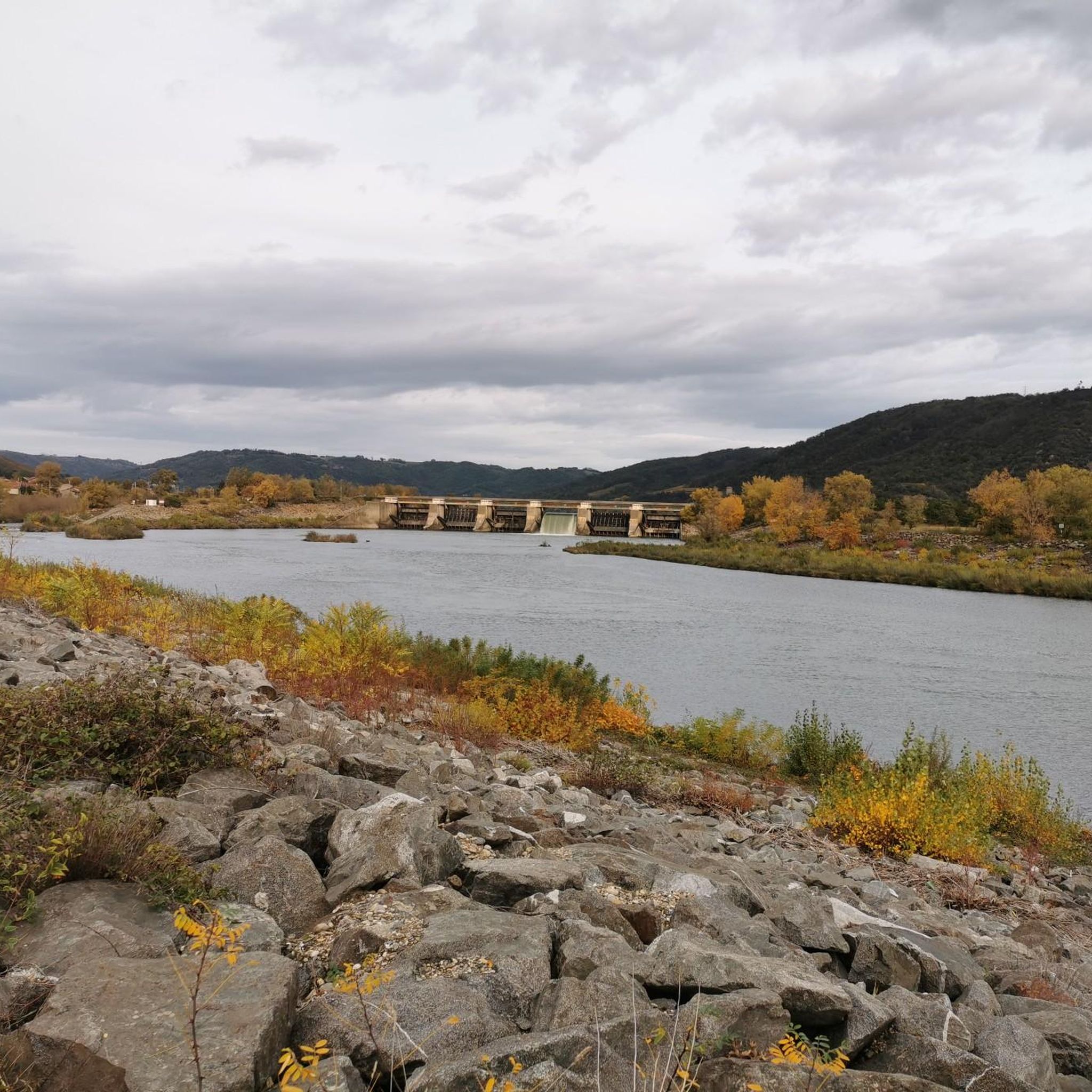
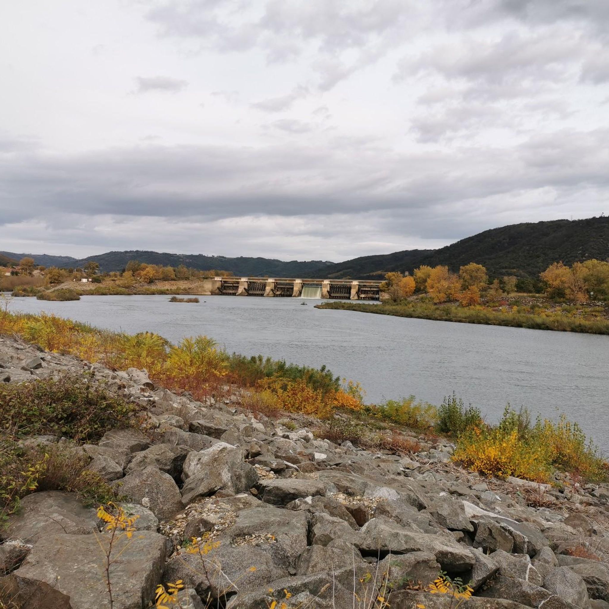
Hikers can discover unique natural features like the wild gorges of the Cance River and the geological formation known as "Les Roches qui dansent" (The Dancing Rocks). Historical landmarks include the 28-meter high keep of an old feudal castle overlooking the village, and the Arras Dam on the Rhône.
Are there any circular hiking routes in Arras-Sur-Rhône?
Yes, many routes are designed as loops. For instance, the Dancing Rocks loop from Ponsas is a moderate 12.5 km trail that allows you to experience the area's unique geology without retracing your steps.
What do other hikers enjoy most about the trails in Arras-Sur-Rhône?
The trails in Arras-Sur-Rhône are highly rated by the komoot community, with an average score of 4.4 stars. Hikers often praise the diverse landscapes, from river views to vineyard-clad hills, and the well-maintained paths that offer a variety of experiences for all skill levels.
Can I find trails that offer panoramic views?
Absolutely. Many trails provide stunning panoramic views of the Ardèche hills, the distant Pilat mountains, and the Rhône Valley. The Lac des Meinettes Trail is a great option for expansive vistas.
Are there any historical sites accessible via hiking trails?
Yes, you can explore historical sites while hiking. The Arras Castle Ruins – Old mill and bridge loop from Arras-sur-Rhône takes you through historical elements and offers views of the Rhône, incorporating the village's rich past into your walk.
What is the best time of year to go hiking in Arras-Sur-Rhône?
Arras-Sur-Rhône benefits from a semi-Mediterranean climate, making spring and autumn ideal for hiking with pleasant temperatures and vibrant scenery. Summer can be warm, so early morning or late afternoon hikes are recommended. Winter offers a different charm, though some higher trails might require more preparation.
Are there any attractions near the hiking routes that I can visit?
Yes, several attractions are close to the hiking routes. You can explore the Gorges and the Cance Valley, or walk along the ViaRhôna: Riverside Path Between Orchards and Vineyards. The historic Passerelle Marc-Seguin bridge is also a notable point of interest.
Are there options for longer, more challenging hikes?
Yes, for those seeking a greater challenge, there are 12 difficult routes available. These trails often feature significant elevation changes and require good fitness and sure-footedness, offering rewarding experiences for experienced hikers.
What kind of wildlife might I encounter along the Rhône River trails?
Along the Rhône River, especially on paths like the ViaRhôna, you might spot local wildlife such as herons, beavers, and various species of ducks, adding an extra dimension to your hiking experience.
Most popular routes around Arras-Sur-Rhône
Most popular attractions around Arras-Sur-Rhône

Get inspired with the komoot mobile app


Explore more
Browse the best Hikes in other regions.
