The best road cycling routes around Avrieux
4.4
(77)
6,008
riders
39
rides
Road cycling routes around Avrieux are located in the Maurienne Valley, a region of the French Alps known for its challenging terrain and iconic mountain passes. The landscape features deep valleys, significant elevation changes, and historical sites like the Esseillon forts. This area provides a blend of demanding ascents and scenic valley roads, catering to experienced road cyclists.
Best road cycling routes around Avrieux
- The most popular road cycling route is Aussois – Plan d'Amont loop from Aussois, a…
Last updated: July 1, 2026
5.0
(2)
181
riders
33.6km
01:59
850m
850m
Moderate road ride. Good fitness required. Mostly well-paved surfaces and easy to ride.
4.8
(38)
3,599
riders
120km
07:21
3,190m
3,190m
Hard road ride. Very good fitness required. Mostly well-paved surfaces and easy to ride.

Sign up for free
4.6
(5)
220
riders
71.4km
03:57
1,530m
1,530m
Hard road ride. Very good fitness required. Mostly well-paved surfaces and easy to ride.
102
riders
54.0km
03:37
1,680m
1,670m
Hard road ride. Very good fitness required. Some segments of this route may be unpaved and difficult to ride.
5.0
(1)
47
riders
22.0km
01:21
590m
590m
Moderate road ride. Good fitness required. Mostly well-paved surfaces and easy to ride.
Get access to more routes and recommendations from other explorers.
Sign up for free
Already have an account?
Our route recommendations are based on thousands of hikes, rides, and runs completed by other people on komoot.
Start today with a free account
Your next adventure awaits.
Login or Signup


Tips from the Community

Nice little town hall, although there is more going on near the train station.
2
0
Great view of the Victor Emmanuel fortress as part of a chain of fortifications.
1
0
Town with transit traffic to Italy on the Arc. Many possibilities, hotels, restaurants and shops.
2
0
Beautiful chapel, also a museum, but also a nice hotel and restaurant in the village.
2
0
At the pass with restaurant and hotel. Historic pass with Hannibal and Napoleon.
2
0

https://en.wikipedia.org/wiki/Barrage_du_Plan_d%27Amont
0
0

Even more beautiful downhill
3
0
Frequently Asked Questions
How many road cycling routes are available around Avrieux?
There are nearly 40 road cycling routes around Avrieux, catering to various skill levels. The majority, 26 routes, are moderate, with 8 difficult and 3 easy options available.
What kind of terrain can I expect on road cycling routes in the Avrieux area?
Road cycling in the Avrieux area, nestled in the Maurienne Valley, offers a mix of challenging mountain passes and scenic valley roads. You'll encounter significant elevation changes, deep valleys, and historical sites like the Esseillon forts. The region is renowned for its demanding ascents, frequently featured in major races like the Tour de France.
Are there any easy road cycling routes suitable for beginners or families in Avrieux?
While the region is known for its challenging climbs, there are a few easier road cycling options. For instance, you can find routes that stick to the valley floor or shorter loops with less elevation gain. There are 3 easy routes available, and 26 moderate routes that might be suitable for those looking for less strenuous rides.
What are some notable landmarks or viewpoints I can see while road cycling near Avrieux?
Many routes offer stunning views and pass by significant landmarks. You can cycle past the impressive 19th-century Esseillon Forts, which provide a glimpse into mountain fortification. The Summit and View of Aussois – Barrière de L'Esseillon loop from Aussois is a moderate 33.5 km route that takes you past these historical sites. Additionally, you might encounter viewpoints like Three Crosses Hill, offering panoramic vistas.
Are there any routes that feature lakes or waterfalls?
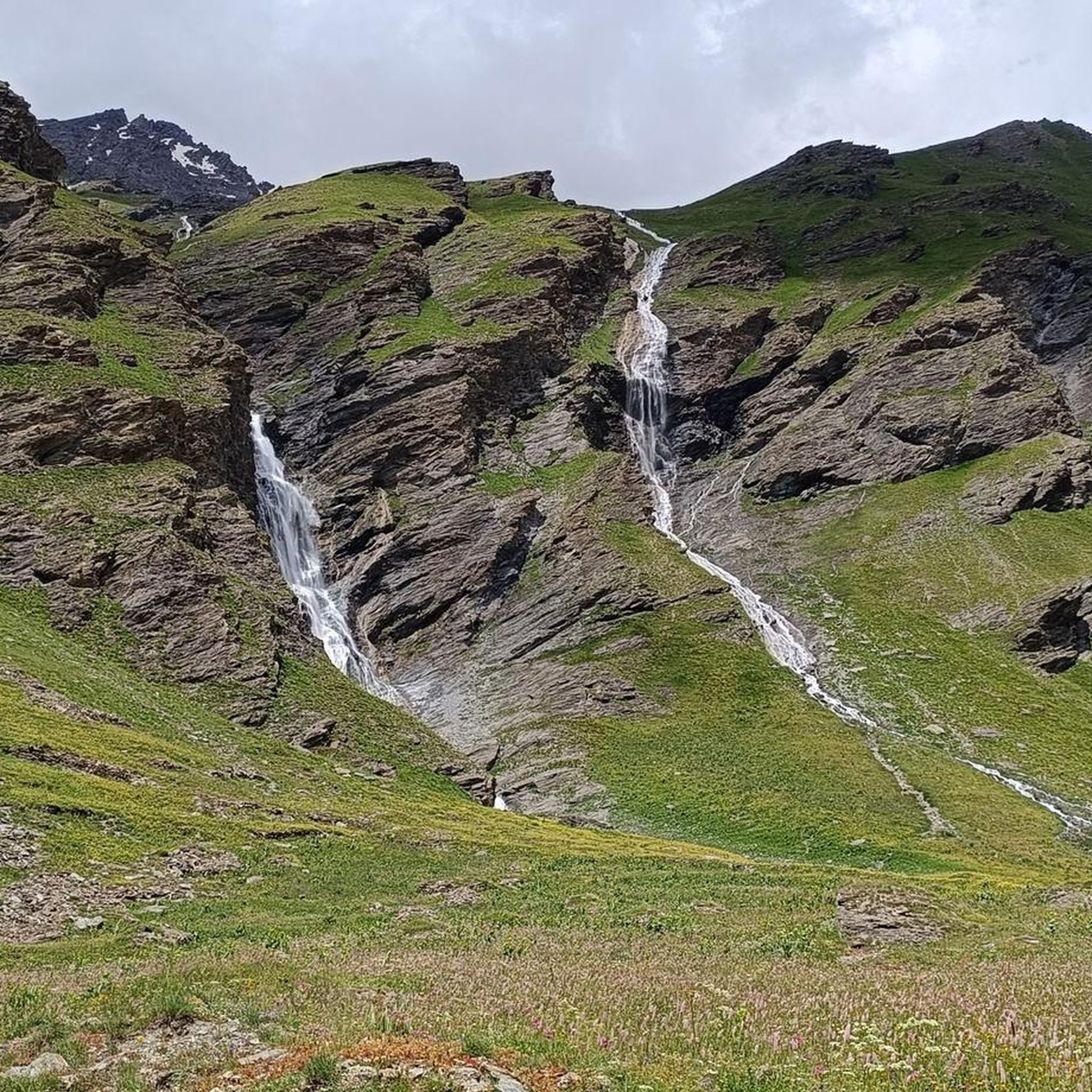
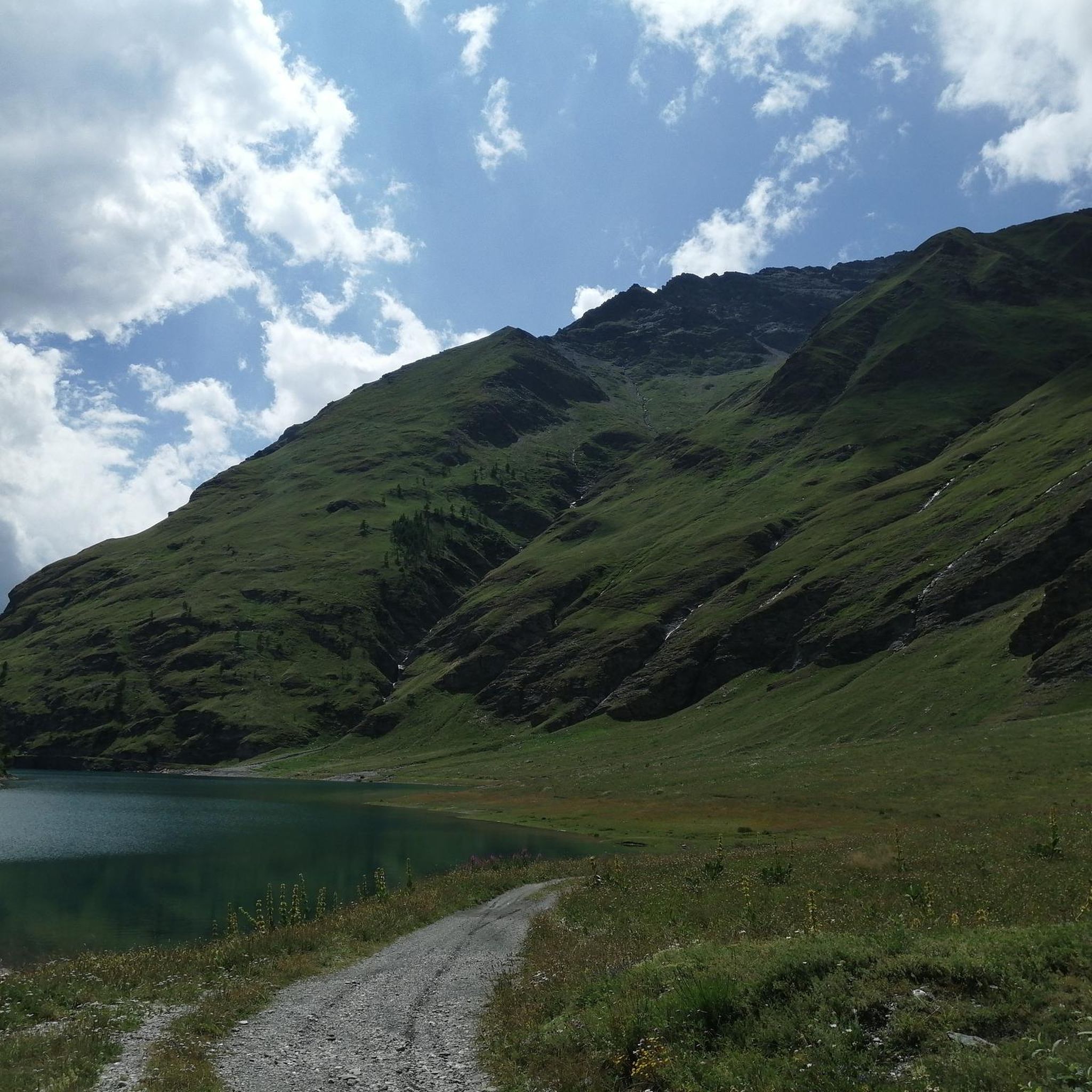
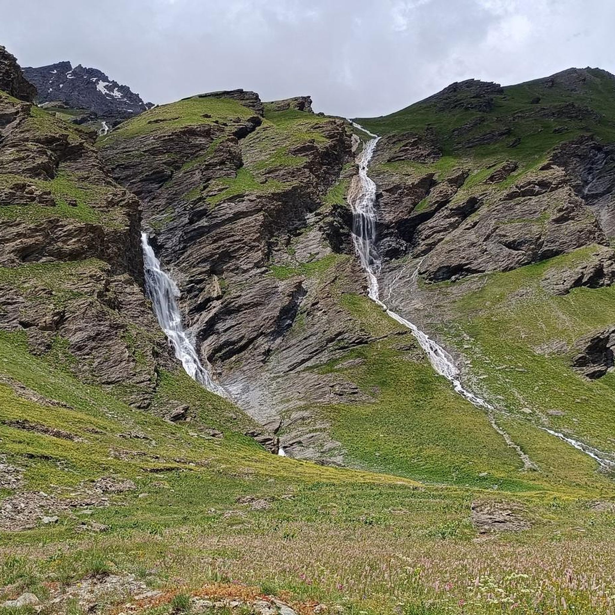
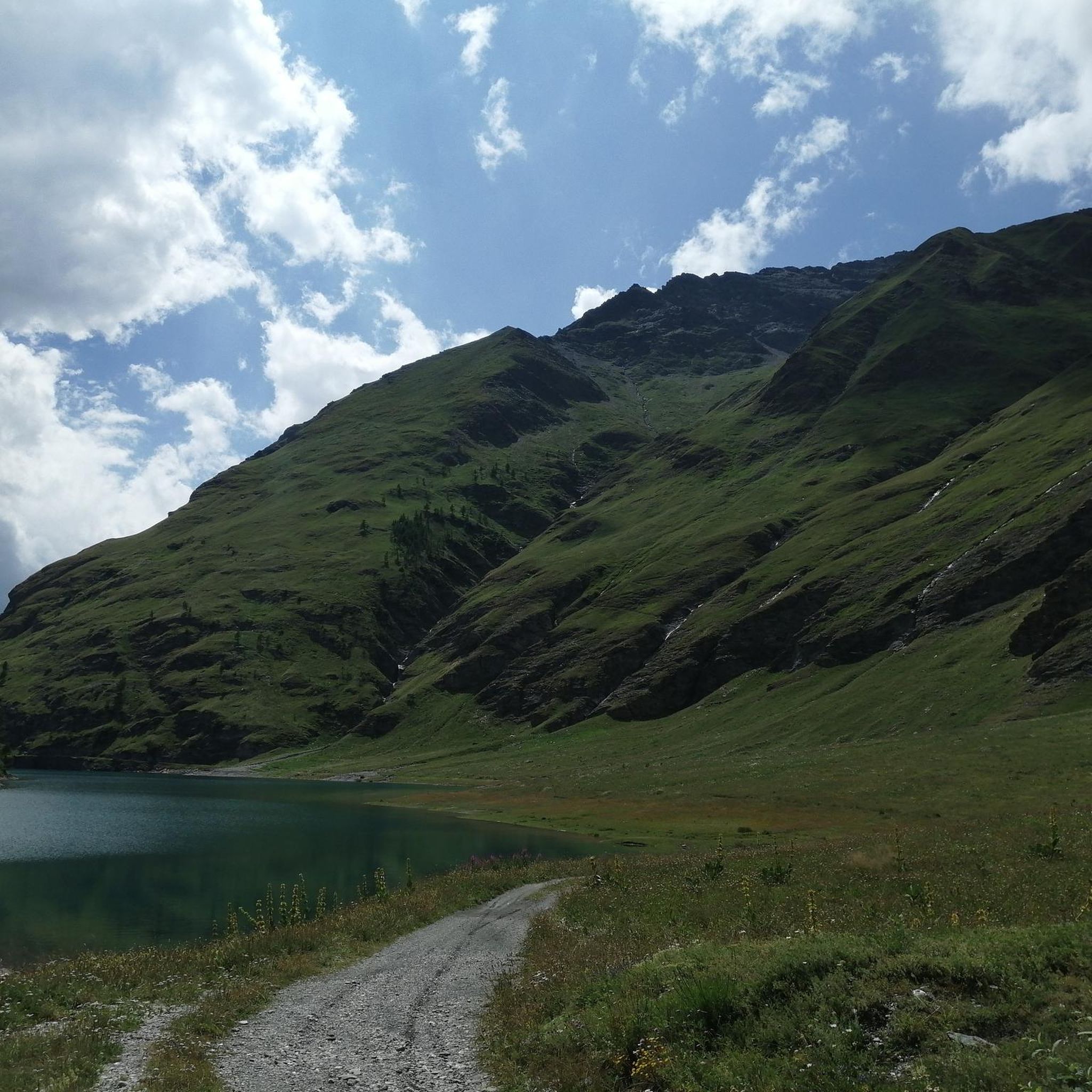
Yes, some routes lead to beautiful natural water features. The View of Lac du Plan d'Aval loop from Aussois is a moderate 12.2 km trail that offers views of the lake. The region also boasts the stunning Rochemolles Lake and Dam, and the picturesque Cascade Saint-Benoît, a 50-meter waterfall, though specific road cycling routes directly to the waterfall may vary.
What is the most challenging road cycling route in the Avrieux area?
One of the most challenging routes is the Aussois – Plan d'Amont loop from Aussois. This difficult 50.4 km route involves a significant ascent of over 1500 meters towards the Plan d'Amont dam, with sections known for gradients exceeding 10%.
What do other cyclists say about road cycling in Avrieux?
The road cycling routes around Avrieux are highly regarded by the komoot community, holding an average rating of 4.5 out of 5 stars from over 50 reviews. More than 2600 road cyclists have used komoot to explore the varied terrain, often praising the challenging mountain passes and scenic valley roads.
Are there any historical sites to explore along the road cycling routes?
Absolutely. The area is rich in history, particularly with the 19th-century Esseillon forts. You can cycle past or near sites like Fort Victor-Emmanuel, Forte Föens, and Fort Jafferau. The Aussois – Fort Charles-Albert loop from Aussois is a moderate 13.8 km route that takes you directly past one of these impressive fortifications.
What are the famous cycling cols in the Maurienne Valley accessible from Avrieux?
Avrieux is ideally situated in the Maurienne Valley, often called the 'world's largest cycling area' due to its concentration of legendary climbs. From this region, you can access iconic mountain passes such as Col de l'Iseran (the highest paved pass in the Alps), Col du Galibier, Col de la Madeleine, Col de la Croix de Fer, and Col du Télégraphe, all frequently featured in the Tour de France.
Are there any road cycling routes that offer a mix of valley views and town exploration?
Yes, the Aussois – Modane loop from Aussois is a moderate 22.0 km path that connects the towns of Aussois and Modane. This route provides pleasant valley views and allows you to experience the local towns along the way.
What is the best time of year for road cycling in Avrieux?
The best time for road cycling in Avrieux and the Maurienne Valley is typically from late spring to early autumn (May to October). During these months, the high mountain passes are generally clear of snow, and the weather is more favorable for cycling. Always check local conditions and pass openings before planning your ride, especially for the highest cols.
Is there parking available for cyclists in Avrieux?
Avrieux and the surrounding towns like Aussois, which serve as starting points for many routes, generally offer parking facilities. It's advisable to check specific starting points for designated cyclist parking areas, especially during peak season.
Most popular routes around Avrieux
Most popular attractions around Avrieux

Get inspired with the komoot mobile app


Explore more
Browse the best Road cycling routes in other regions.
